

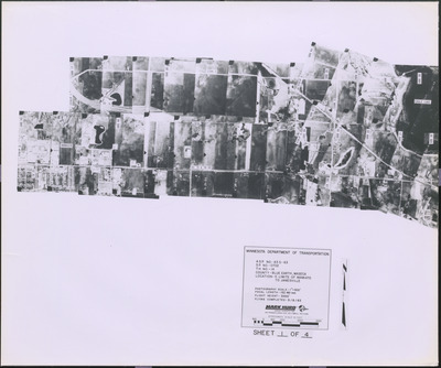
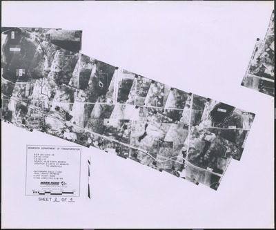
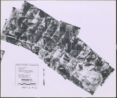
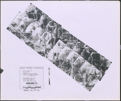
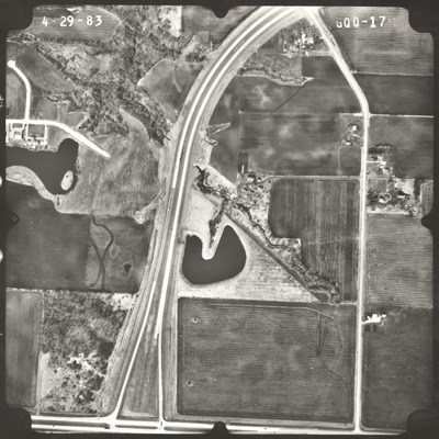
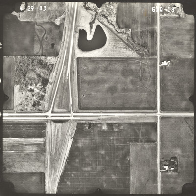
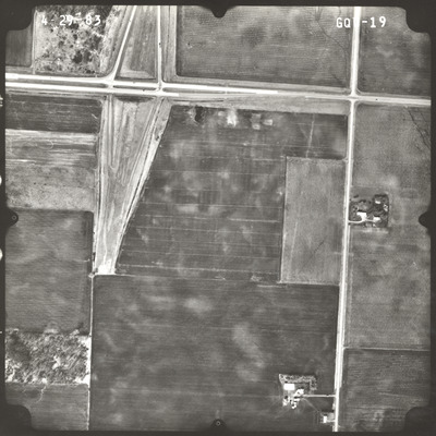
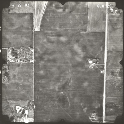
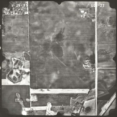
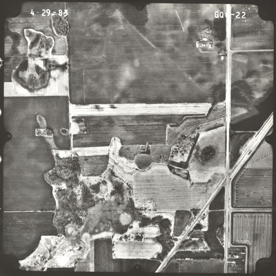
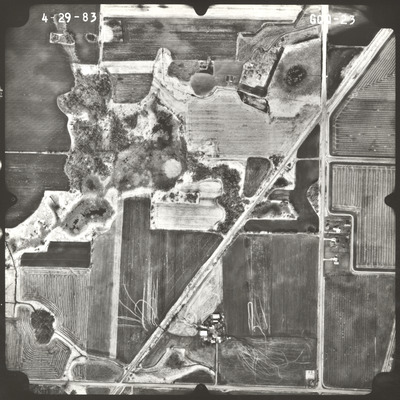
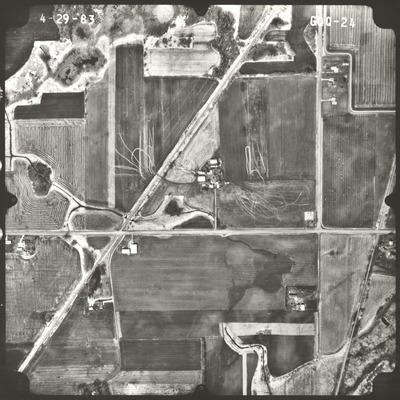
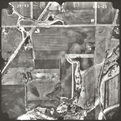
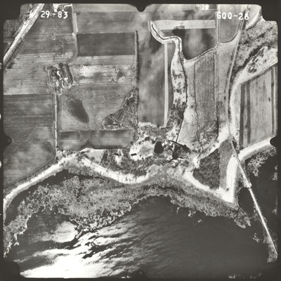
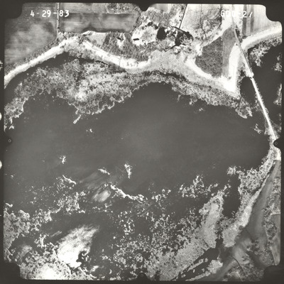
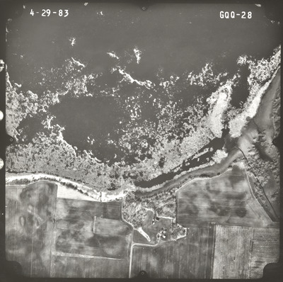
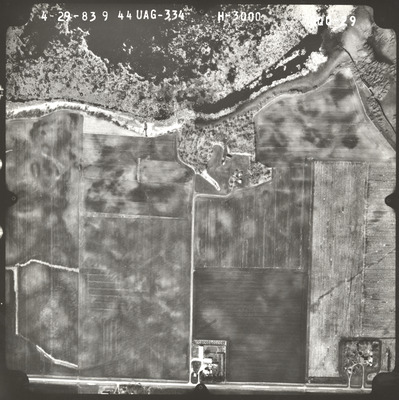
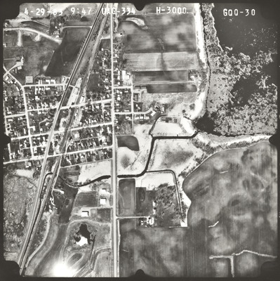
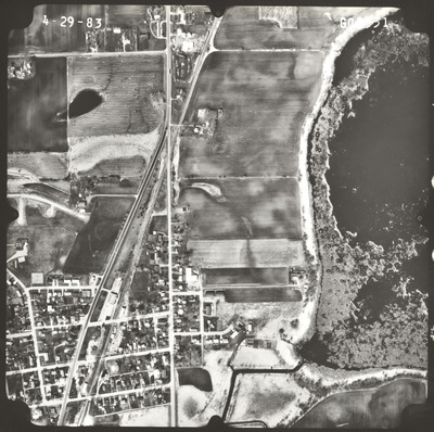
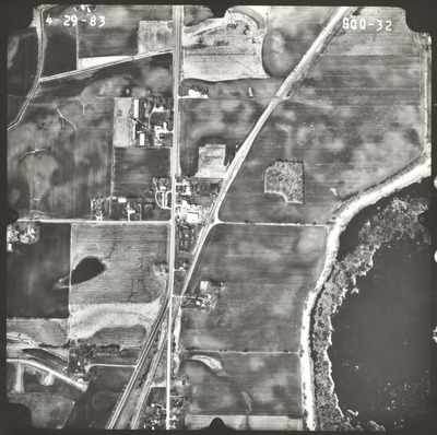
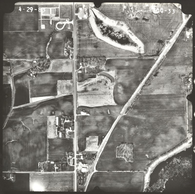
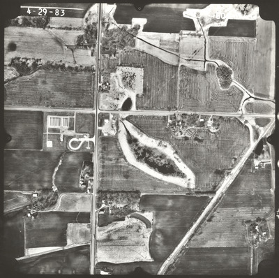
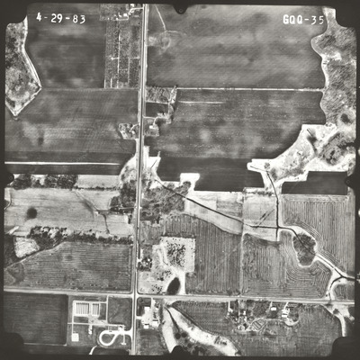
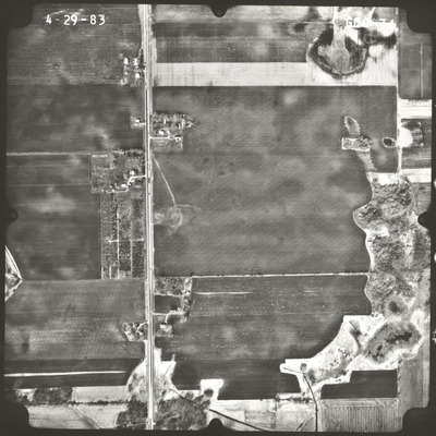
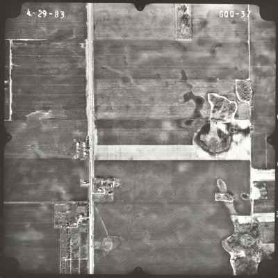
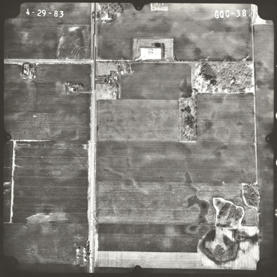
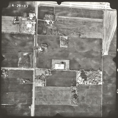
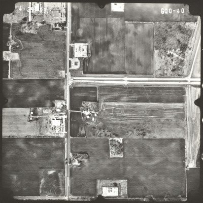
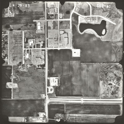
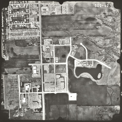
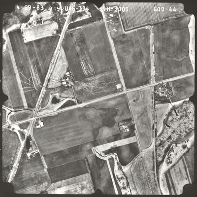
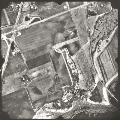
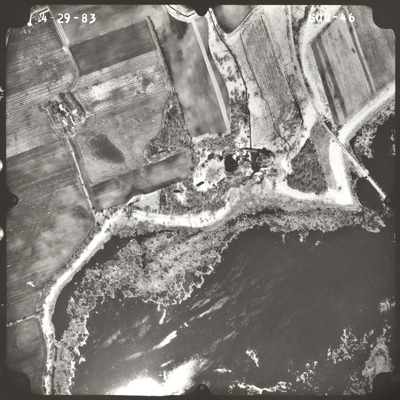
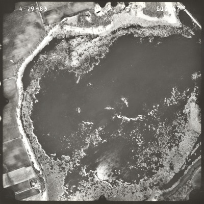
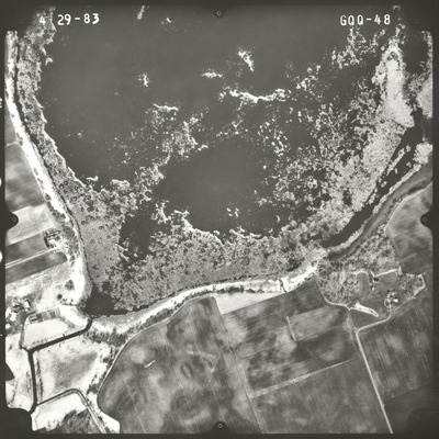
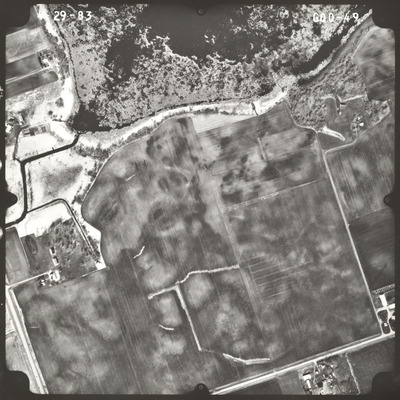
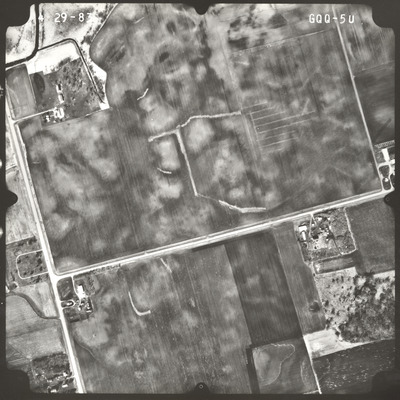
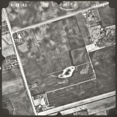
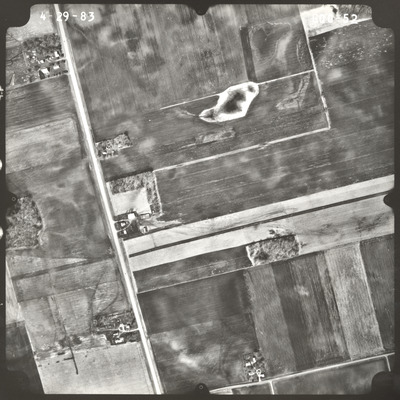
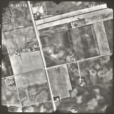
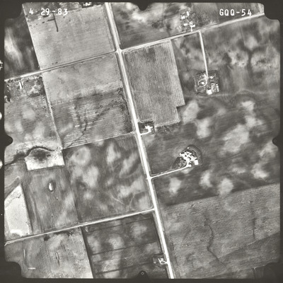
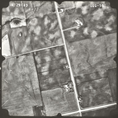
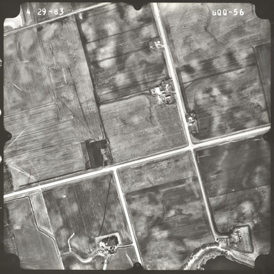
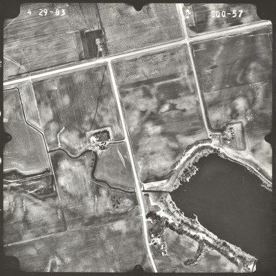
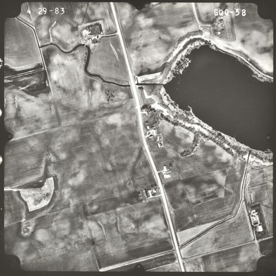
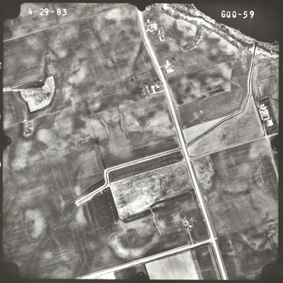
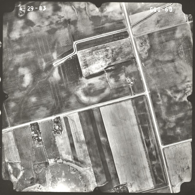
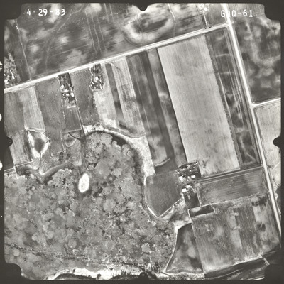
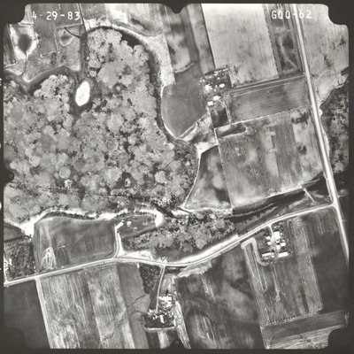
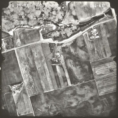
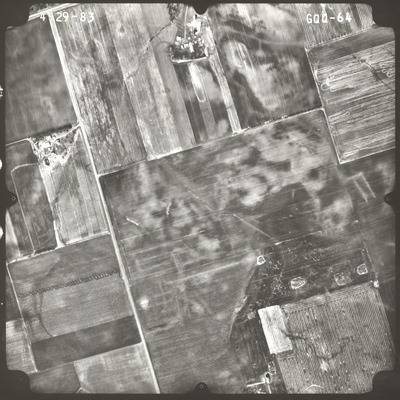
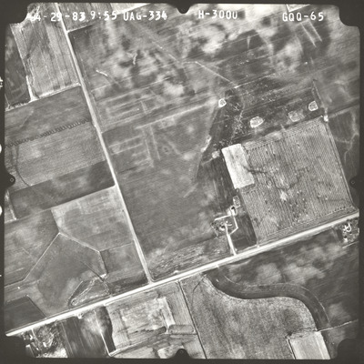
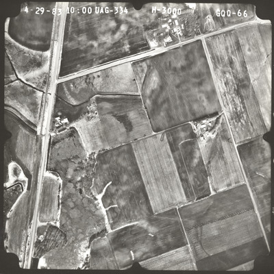
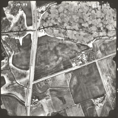
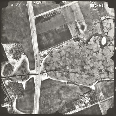
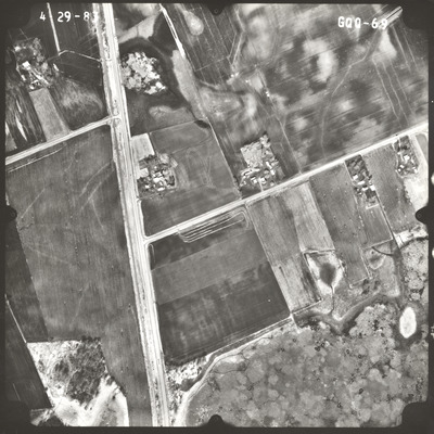
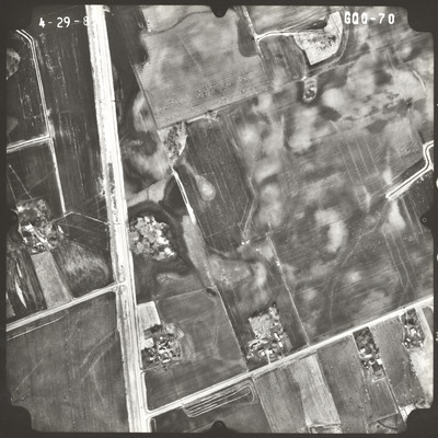
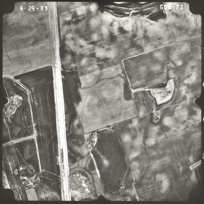
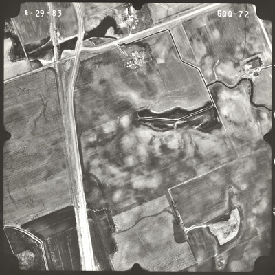
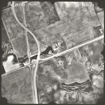
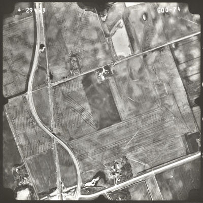
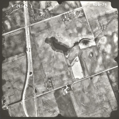
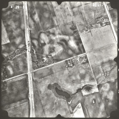
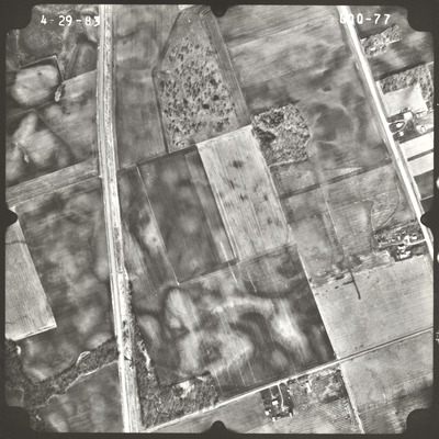
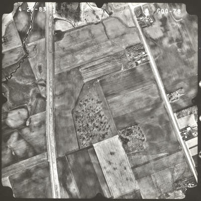
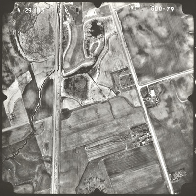
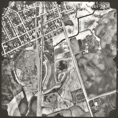
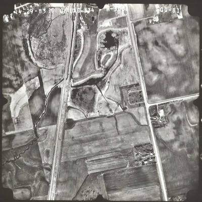
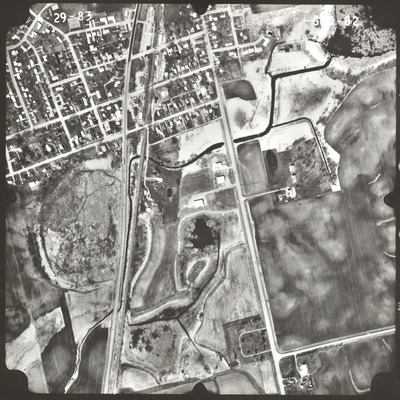
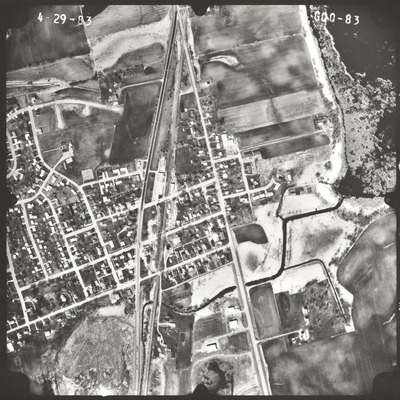
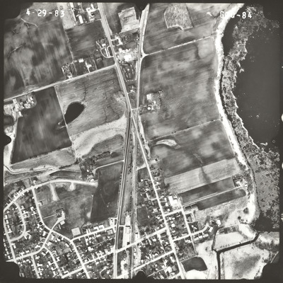
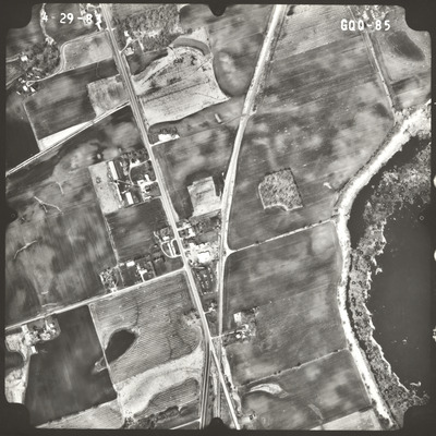
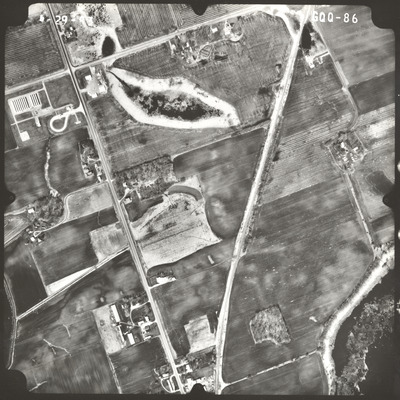
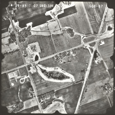
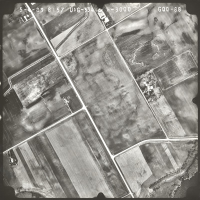
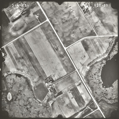
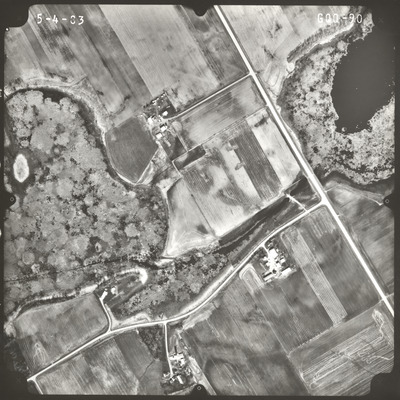
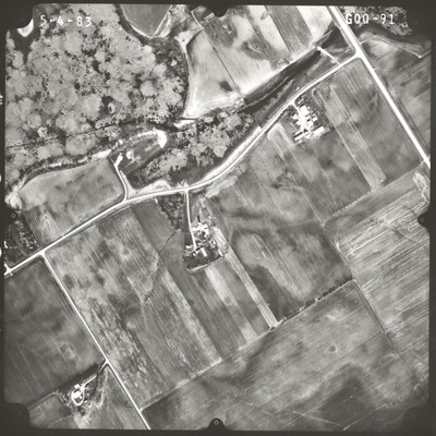
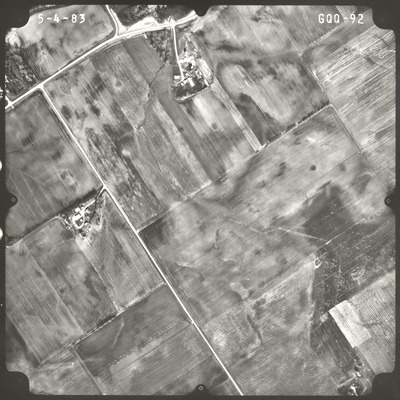
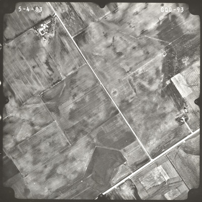
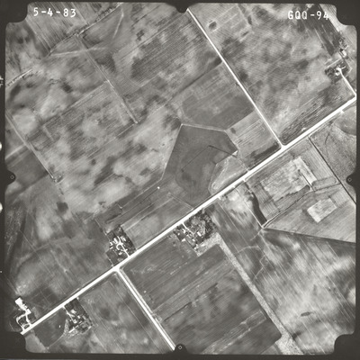
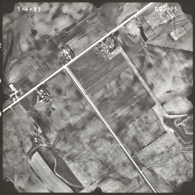
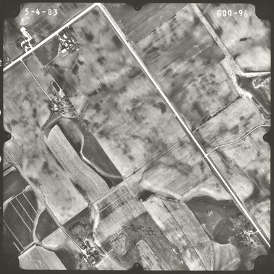
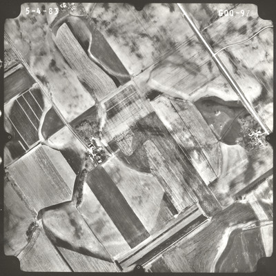
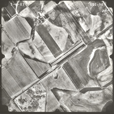
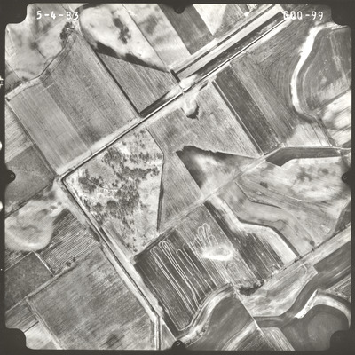
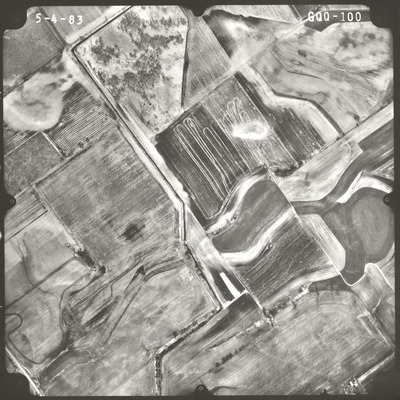
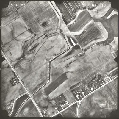
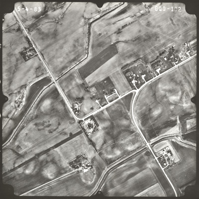
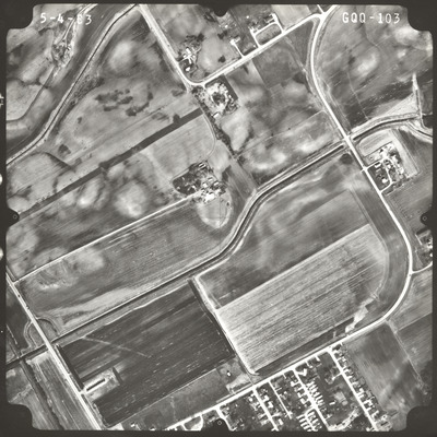
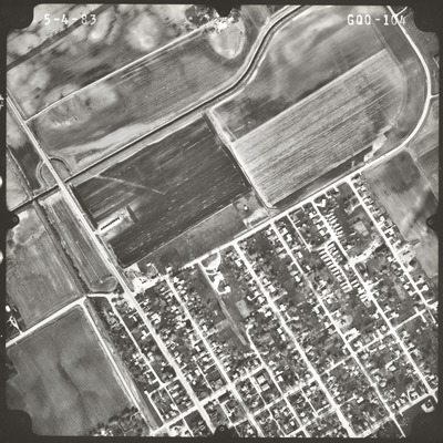
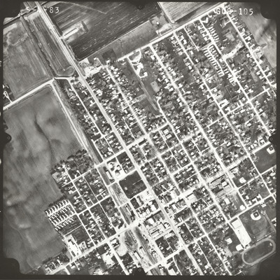
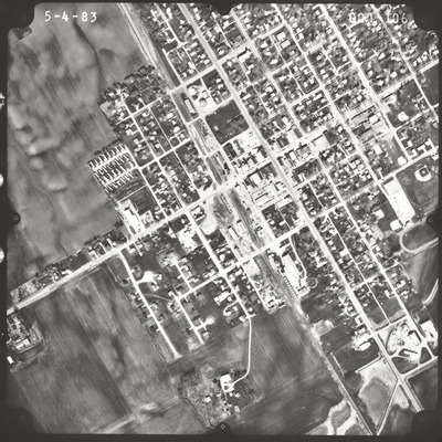
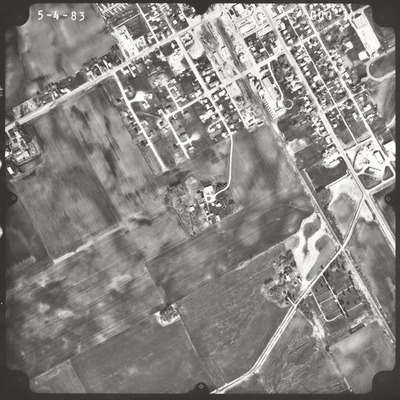
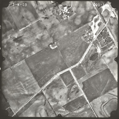
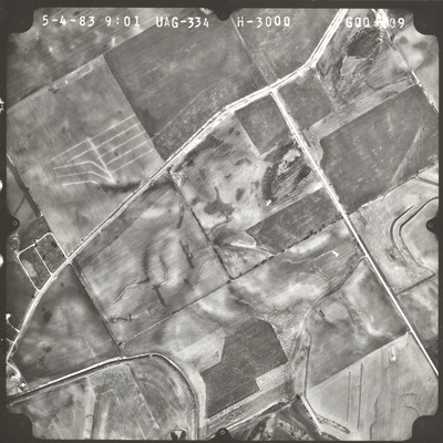
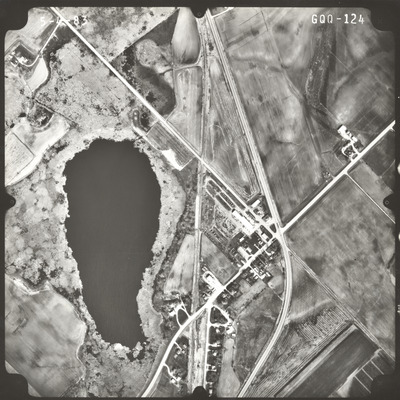
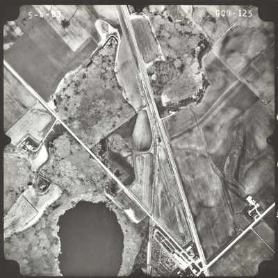
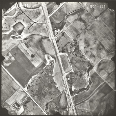
Aerial survey project no. 83S-63 was flown on April 29, May 4, and May 8, 1983. These photos are a verbal scale of 1"=500'. The flight lines provide coverage for highway 14 from the eastern limits of Mankato to Janesville. ASP No. 83S-63 includes index sheets 1, 2, 3, and 4.
Printing is not supported at the primary Gallery Thumbnail page. Please first navigate to a specific Image before printing.


