

Preview
Flight Code
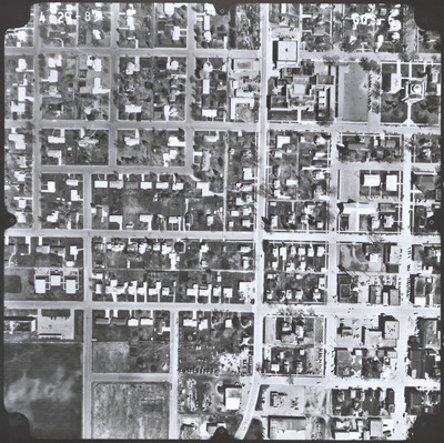
GQS
Date Flown
Spring 4-29-1983
Aerial Survey Project No. (A.S.P. No.)
83S-69
County
Sibley
Trunk Highway (T.H.)
22
Location
Gaylord to Jct. TH 212
Center Latitude
44°33'15.24"N
Center Longitude
94°13'27.22"W
Scale
1''=250'
Flight Height
1500
Work Order No.
50
Agreement No.
61066
State Project No.
7208
Lens Serial Number
UAG 334
Focal Length
152.46 mm
Physical Format
Black and White Physical Aerial Photograph
Dimensions
9 x 9
Item Type
Still Image
Collection Name
Minnesota Department of Transportation District 7 Air Photo Collection, 1957-2006
Contributing Organization
Dr. Mary T. Dooley Map Library, Memorial Library, Minnesota State University, Mankato, P.O. Box 8419, Mankato, MN 56002-8419
Contact Information
Dr. Mary T. Dooley Map Library, Memorial Library, Minnesota State University, Mankato, P.O. Box 8419, Mankato, MN 56002-8419
Creative Commons License

This work is licensed under a Creative Commons Attribution-NonCommercial 4.0 International License
Scanning Center
Dr. Mary T. Dooley Map Library, Memorial Library, Minnesota State University, Mankato, P.O. Box 8419, Mankato, MN 56002-8419
Object File Name
MnDOT_1983_83S-69_GQS-6.tif
Date Digital
2023-02-17
Item Digital Format
Image/tiff
Master File Format
Image/tiff
Master File Size
102396328
Master File Bit Depth
24
Master File Resolution
800 dpi
Master File Width
7320
Master File Height
7293
Master File Hardware
Epson Expression 10000XL
Master File Software
VueScan
Master File System
Windows 10
Master File Checksum
46ab97ee48e132fd6a665ea1176048f9
Keywords
mndot, air photos, aerial photography, 1983, gaylord

