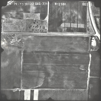
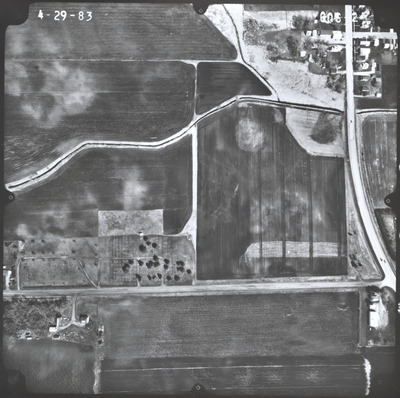
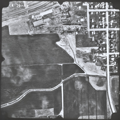
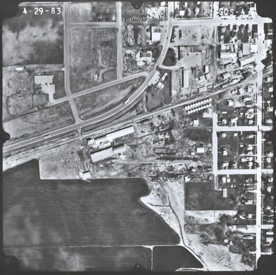
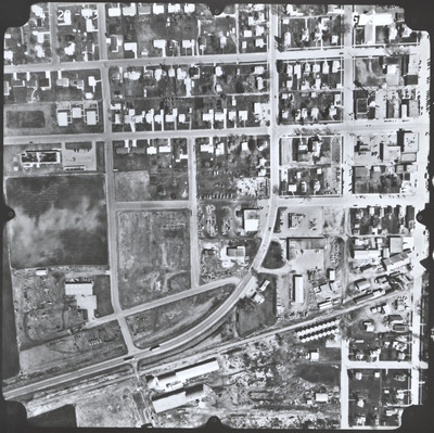
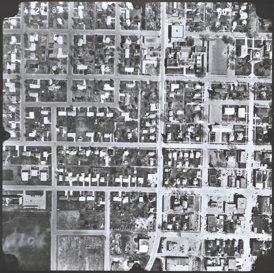
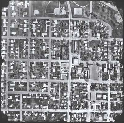
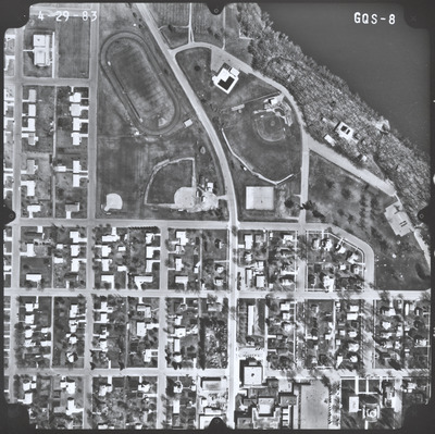
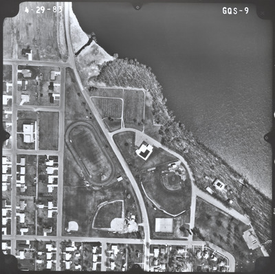
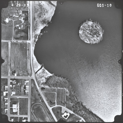
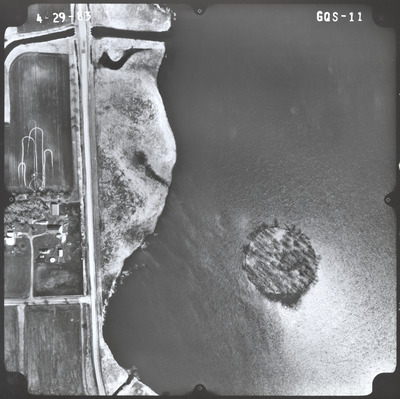
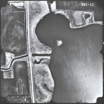
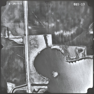
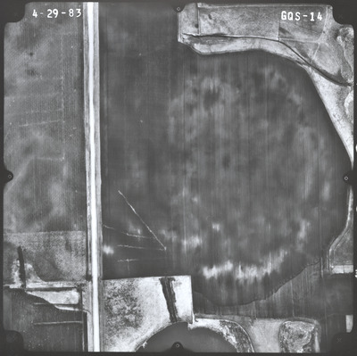
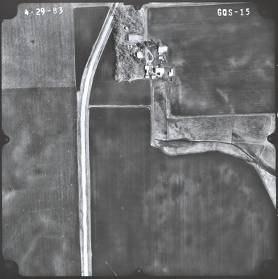
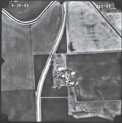
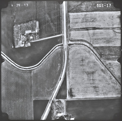
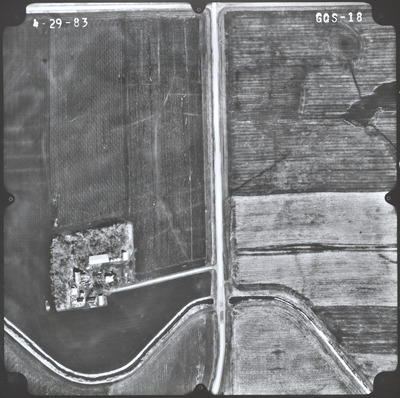
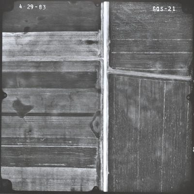
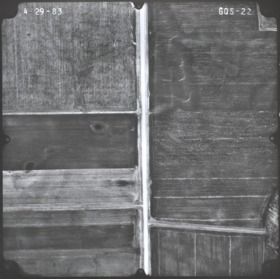
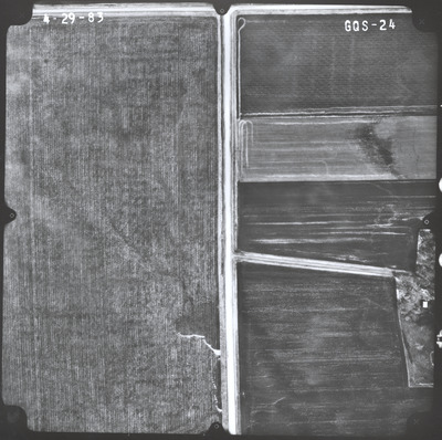
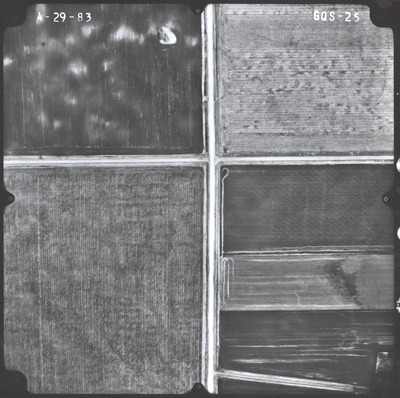
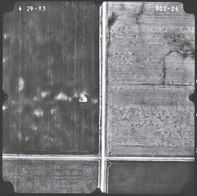
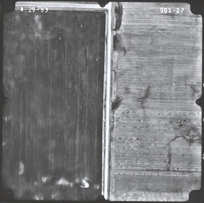
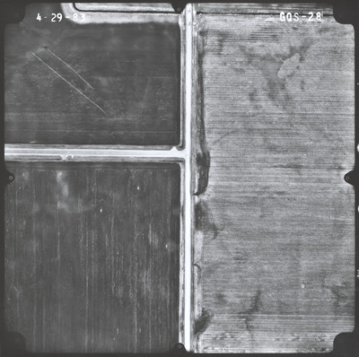
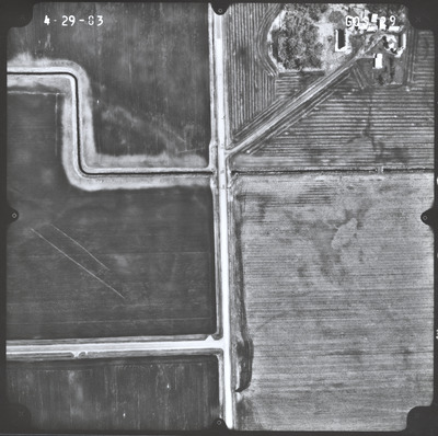
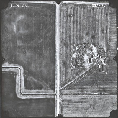
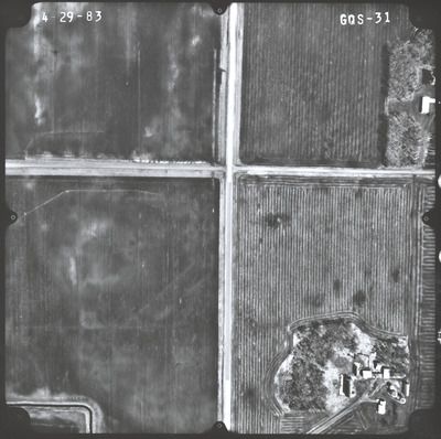
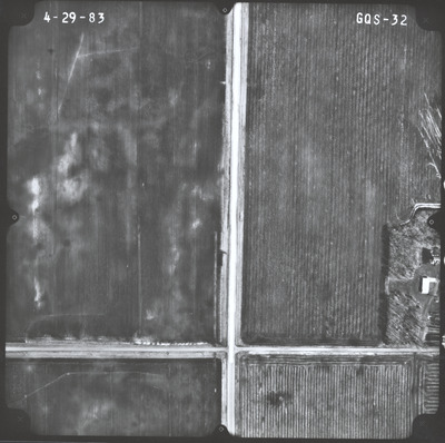
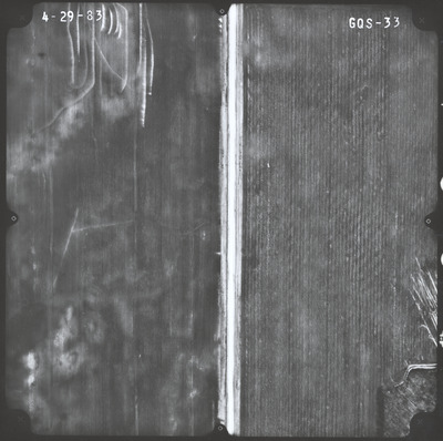
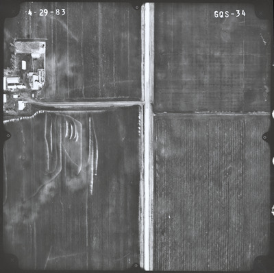
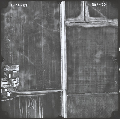
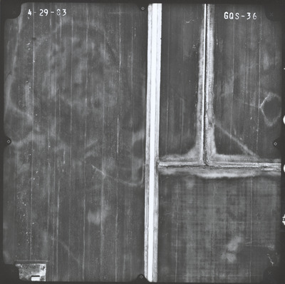
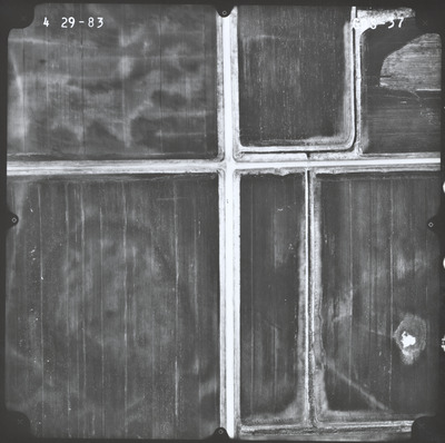
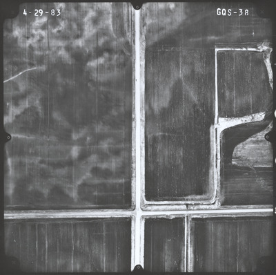
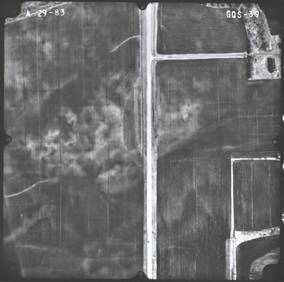
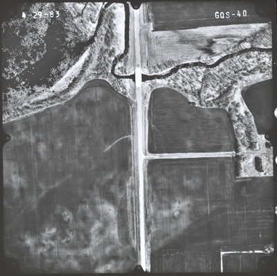
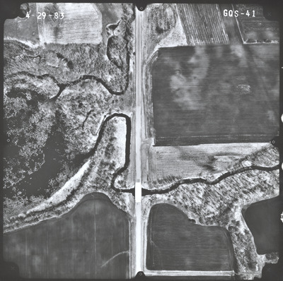
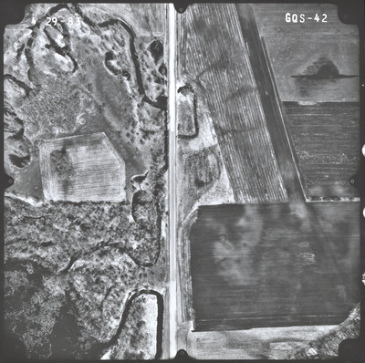
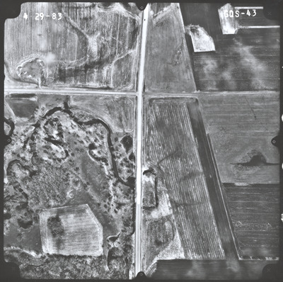
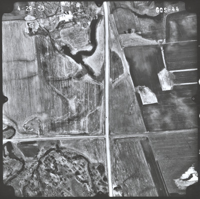
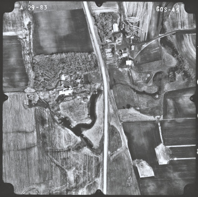
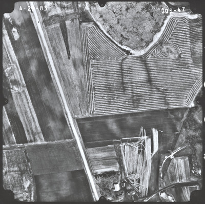
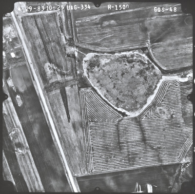
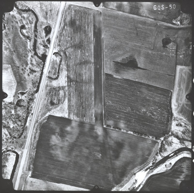
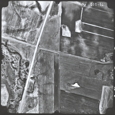
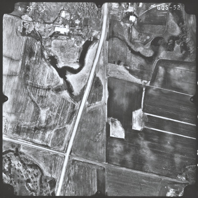
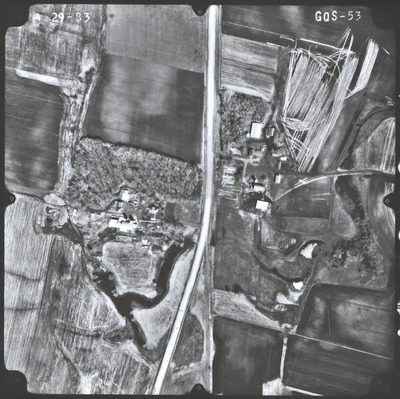
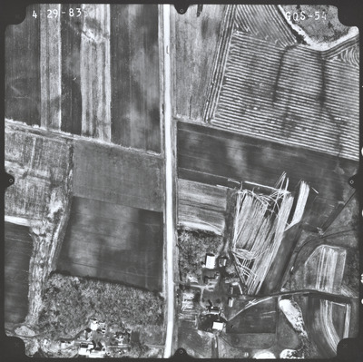
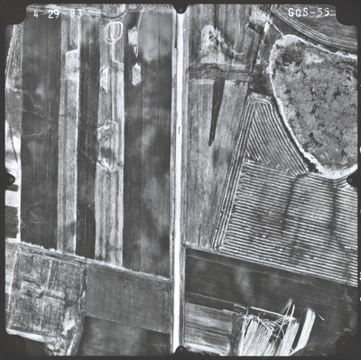
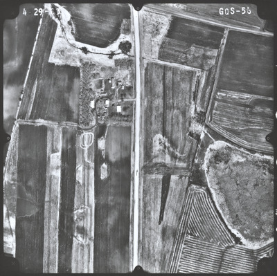
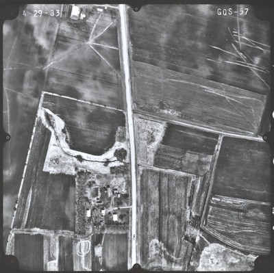
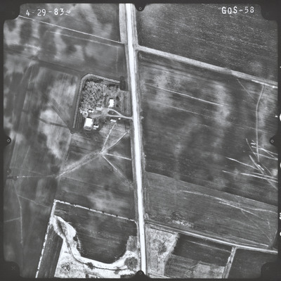
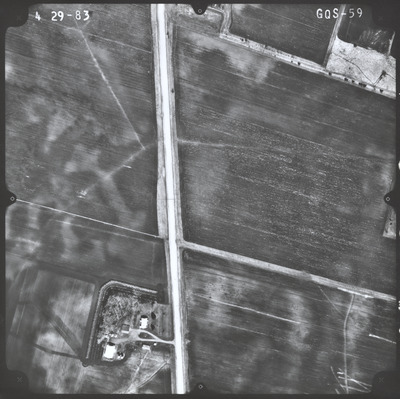
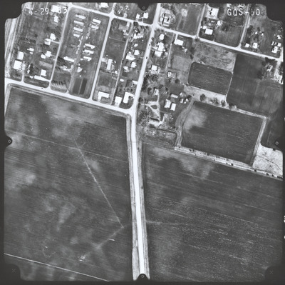
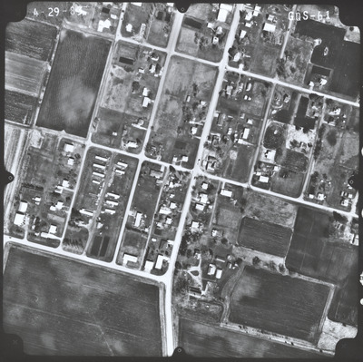
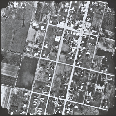
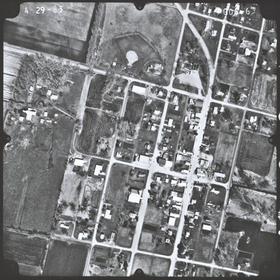
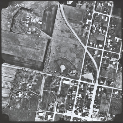
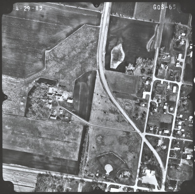
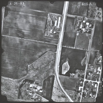
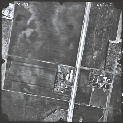
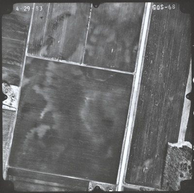
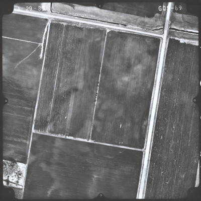
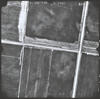
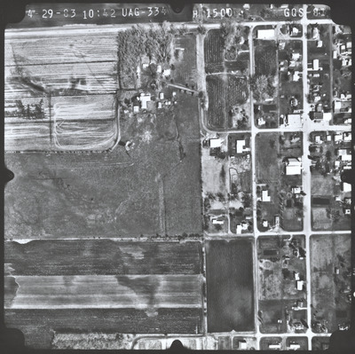
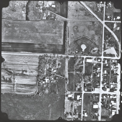
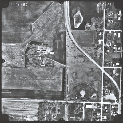
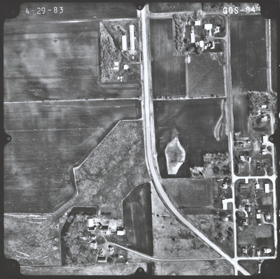
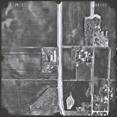
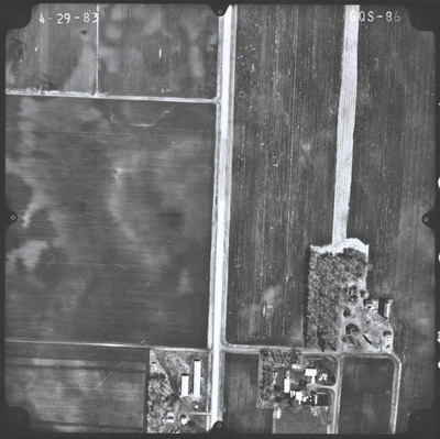
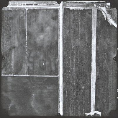
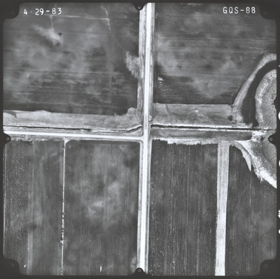
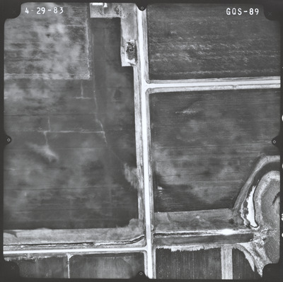
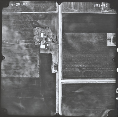
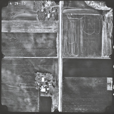
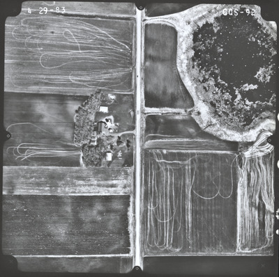
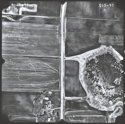
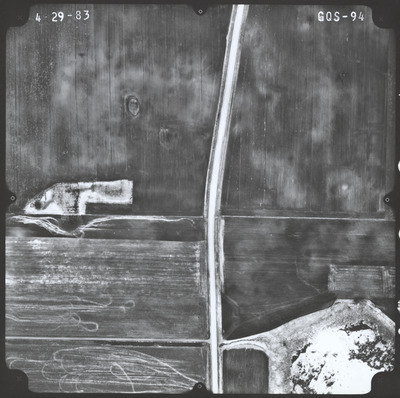
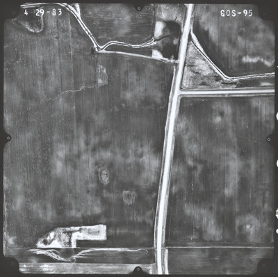
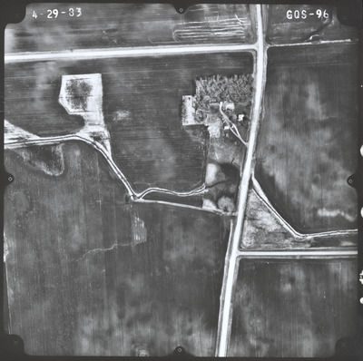
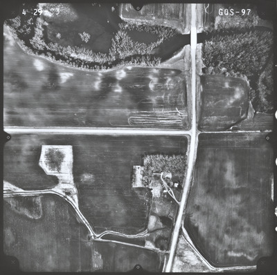
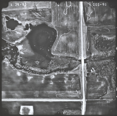
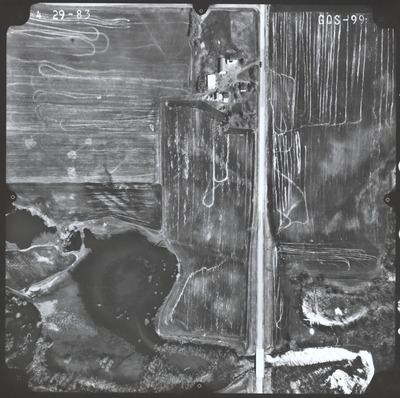
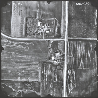
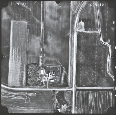
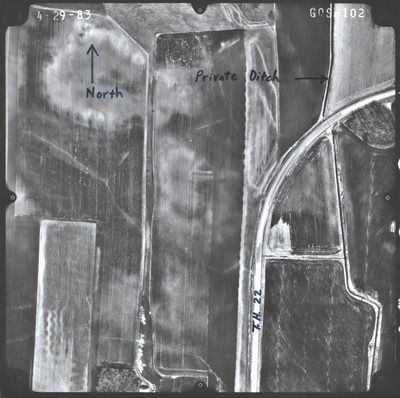
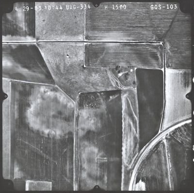
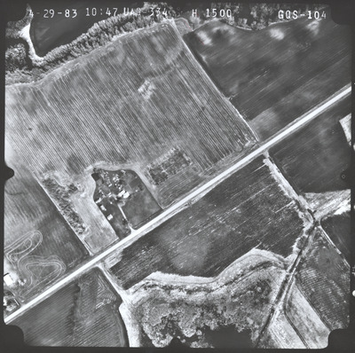
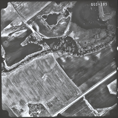
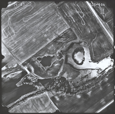
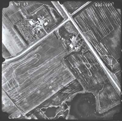
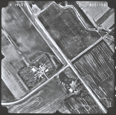
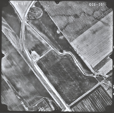
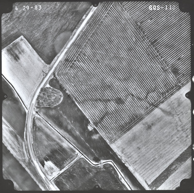
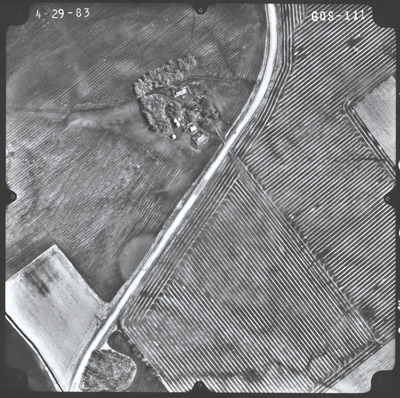
Aerial survey project no. 83S-69 was flown on April 29, 1983. These photos are a verbal scale of 1"=250'. The flight lines provide coverage for highway 22 from Gaylord to the junction with highway 212.


Aerial survey project no. 83S-69 was flown on April 29, 1983. These photos are a verbal scale of 1"=250'. The flight lines provide coverage for highway 22 from Gaylord to the junction with highway 212.


