

Preview
Flight Code
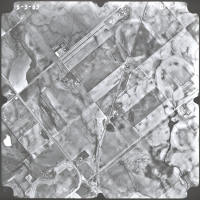
GPT
Date Flown
Spring 5-3-1983
Aerial Survey Project No. (A.S.P. No.)
83S-76
County
Nobles
Trunk Highway (T.H.)
Chicago, Rock Island and Pacific Railroad
Location
Worthington to the Iowa State Line
Center Latitude
43°33'4.93"N
Center Longitude
95°29'0.02"W
Scale
1''=1000'
Flight Height
6000
Work Order No.
51
Agreement No.
61066
State Project No.
8820-22
Lens Serial Number
UAG 334
Focal Length
152.46 mm
Physical Format
Black and White Physical Aerial Photograph
Dimensions
9 x 9
Item Type
Still Image
Collection Name
Minnesota Department of Transportation District 7 Air Photo Collection, 1957-2006
Contributing Organization
Dr. Mary T. Dooley Map Library, Memorial Library, Minnesota State University, Mankato, P.O. Box 8419, Mankato, MN 56002-8419
Contact Information
Dr. Mary T. Dooley Map Library, Memorial Library, Minnesota State University, Mankato, P.O. Box 8419, Mankato, MN 56002-8419
Creative Commons License

This work is licensed under a Creative Commons Attribution-NonCommercial 4.0 International License
Scanning Center
Dr. Mary T. Dooley Map Library, Memorial Library, Minnesota State University, Mankato, P.O. Box 8419, Mankato, MN 56002-8419
Object File Name
MnDOT_1983_83S-76_GPT-50.tif
Date Digital
2023-02-24
Item Digital Format
Image/tiff
Master File Format
Image/tiff
Master File Size
110564574
Master File Bit Depth
24
Master File Resolution
800 dpi
Master File Width
7288
Master File Height
7293
Master File Hardware
Epson Expression 10000XL
Master File Software
VueScan
Master File System
Windows 10
Master File Checksum
75ee547132110d53bf1a575a22c982a9
Keywords
mndot, air photos, aerial photography, 1983, round lake, pond, ditch, stream, marsh, field tiling

