• Home
  • Search
  • Browse Collections
  • My Account
  • About
  • DC Network Digital Commons Network™
Skip to main content
Cornerstone: A Collection of Scholarly and Creative Works for Minnesota State University, Mankato
  • Home
  • About
  • FAQ
  • My Account

Home > MAPS > MAPS-MNDOT7-AIR-PHOTOS > MNDOT7-1983-83S-76

1983 Aerial Survey Project No. 83S-76 (GPT)

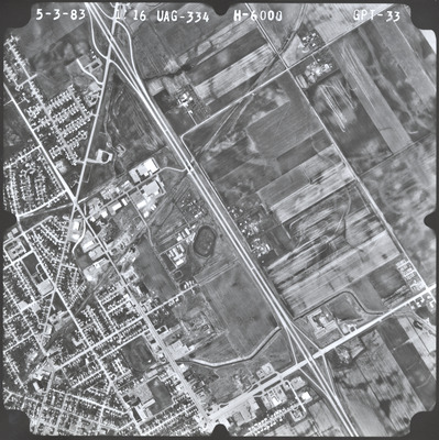
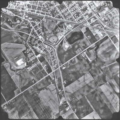
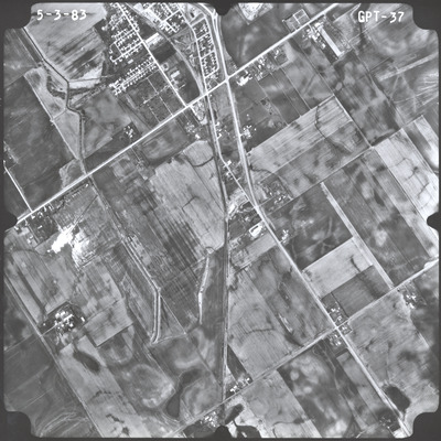
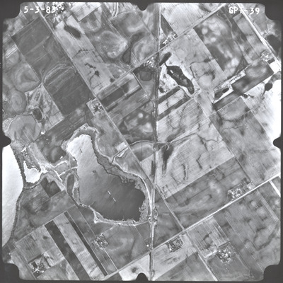
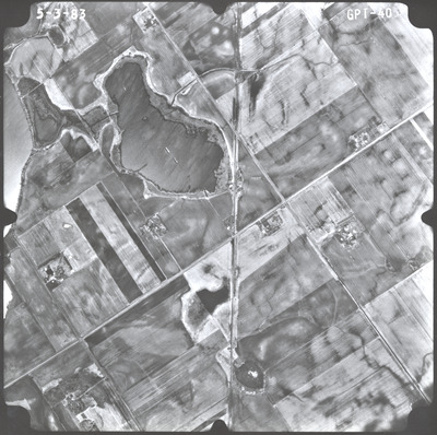
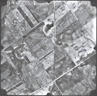
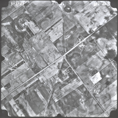
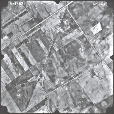
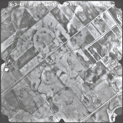
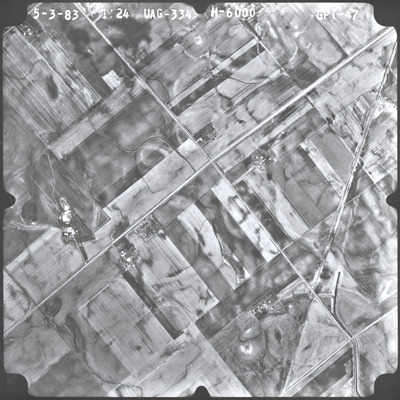
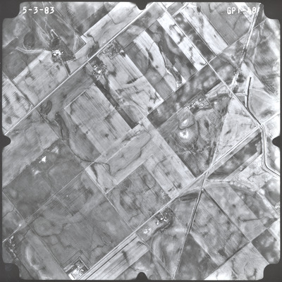
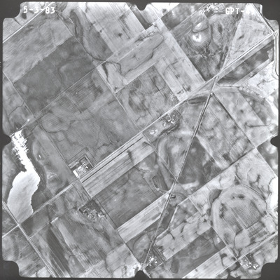
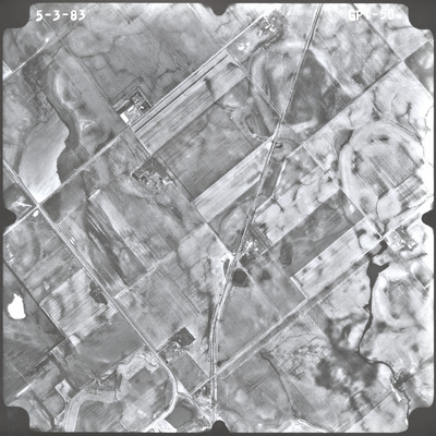
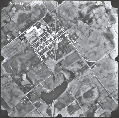
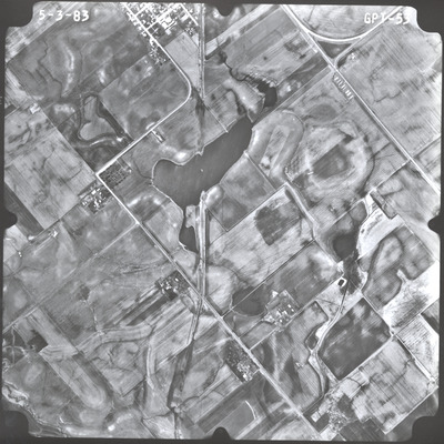
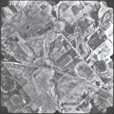
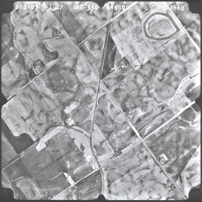
Aerial survey project no. 83S-76 was flown on May 3, 1983. These photos are a verbal scale of 1"=1,000'. The flight lines provide coverage for the Chicago, Rock Island and Pacific Railroad.

Printing is not supported at the primary Gallery Thumbnail page. Please first navigate to a specific Image before printing.

Follow

Switch View to List View Slideshow
 
  • GPT-53 by Mark Hurd Aerial Surveys, Inc. Minneapolis, Minnesota

    GPT-53

  • GPT-54 by Mark Hurd Aerial Surveys, Inc. Minneapolis, Minnesota

    GPT-54

  • GPT-55 by Mark Hurd Aerial Surveys, Inc. Minneapolis, Minnesota

    GPT-55

  • GPT-56 by Mark Hurd Aerial Surveys, Inc. Minneapolis, Minnesota

    GPT-56

  • GPT-57 by Mark Hurd Aerial Surveys, Inc. Minneapolis, Minnesota

    GPT-57

  • GPT-58 by Mark Hurd Aerial Surveys, Inc. Minneapolis, Minnesota

    GPT-58

  • GPT-59 by Mark Hurd Aerial Surveys, Inc. Minneapolis, Minnesota

    GPT-59

  • GPT-60 by Mark Hurd Aerial Surveys, Inc. Minneapolis, Minnesota

    GPT-60

 
  • 1
  • 2


Search

Advanced Search

  • Notify me via email or RSS

Author Corner

  • All Authors
  • Author FAQ
  • Submit Research

University Resources

  • Digital Exhibits
  • ARCH: University Archives Digital Collections
  • Library Services
  • Minnesota State University, Mankato
  • Contact Us
Minnesota State University Mankato Minnesota State
 
Elsevier - Digital Commons

Home | About | FAQ | My Account | Accessibility Statement

Privacy Copyright