

Preview
Flight Code
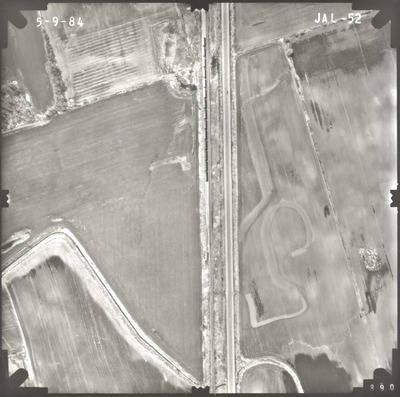
JAL
Date Flown
Spring 5-9-1984
Aerial Survey Project No. (A.S.P. No.)
84S-63
County
Waseca
Trunk Highway (T.H.)
14
Location
Janesville to Waseca
Center Latitude
44° 6'0.30"N
Center Longitude
93°36'16.65"W
Scale
1''=250'
Flight Height
1500
Work Order No.
33
Agreement No.
61635
State Project No.
8103-19
Lens Serial Number
118991
Focal Length
153.12 mm
Physical Format
Black and White Physical Aerial Photograph
Dimensions
9 x 9
Item Type
Still Image
Collection Name
Minnesota Department of Transportation District 7 Air Photo Collection, 1957-2006
Contributing Organization
Dr. Mary T. Dooley Map Library, Memorial Library, Minnesota State University, Mankato, P.O. Box 8419, Mankato, MN 56002-8419
Contact Information
Dr. Mary T. Dooley Map Library, Memorial Library, Minnesota State University, Mankato, P.O. Box 8419, Mankato, MN 56002-8419
Creative Commons License

This work is licensed under a Creative Commons Attribution-NonCommercial 4.0 International License
Scanning Center
Dr. Mary T. Dooley Map Library, Memorial Library, Minnesota State University, Mankato, P.O. Box 8419, Mankato, MN 56002-8419
Object File Name
MnDOT_1984_84S-63_JAL-52.tif
Date Digital
2023-03-24
Item Digital Format
Image/tiff
Master File Format
Image/tiff
Master File Size
95482434
Master File Bit Depth
24
Master File Resolution
800 dpi
Master File Width
7424
Master File Height
7369
Master File Hardware
Epson Expression 10000XL
Master File Software
VueScan
Master File System
Windows 10
Master File Checksum
0adf76832327ce59270c8f4231ed7585
Keywords
mndot, air photos, aerial photography, 1984, stream, railroad, field tiling

