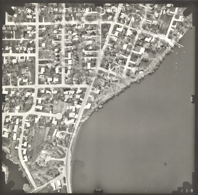
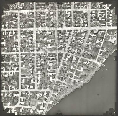
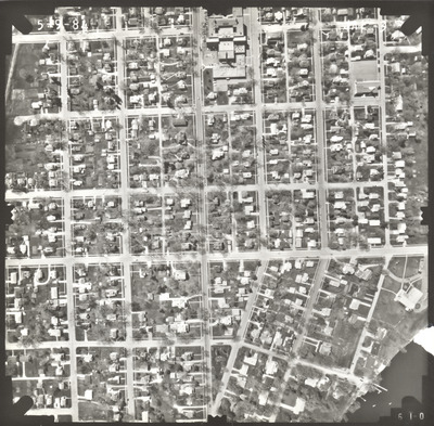
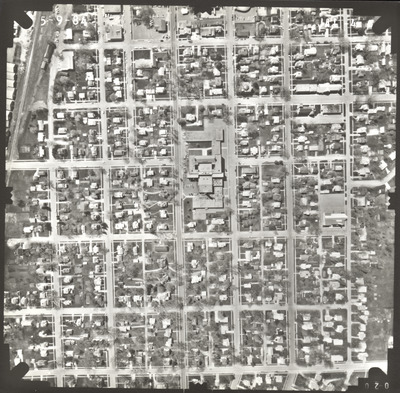
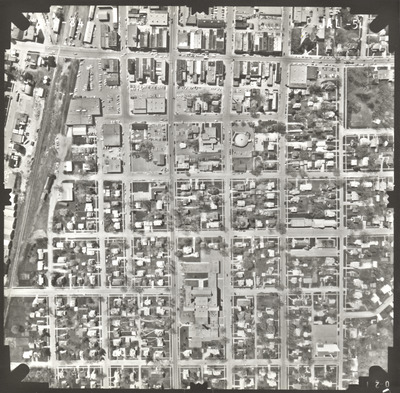
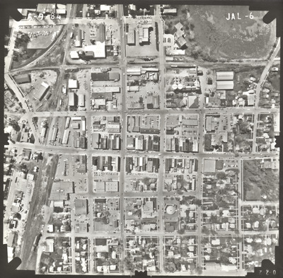
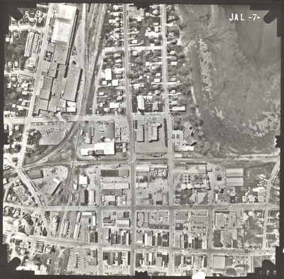
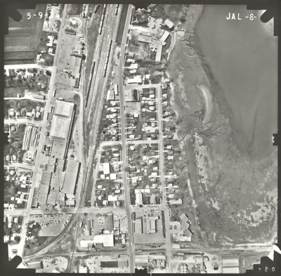
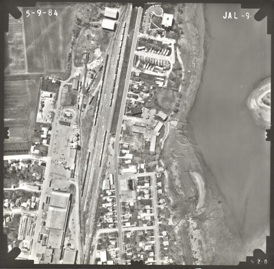
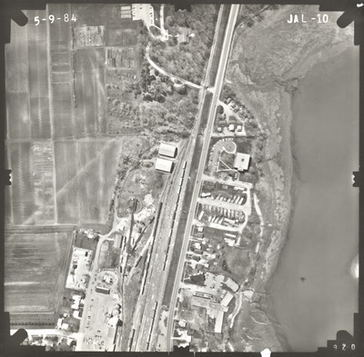
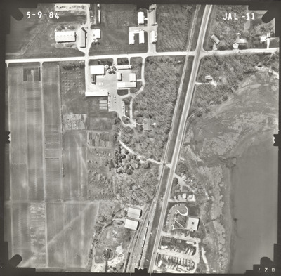
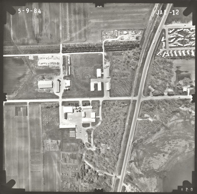
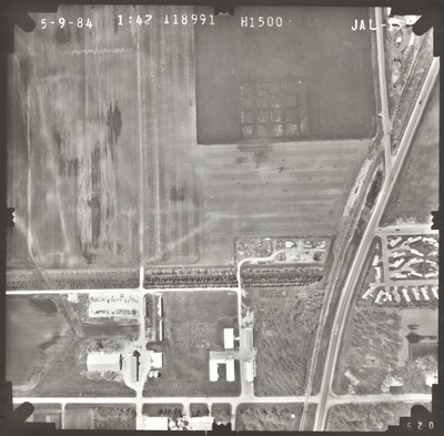
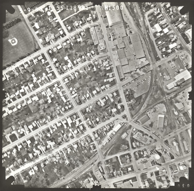
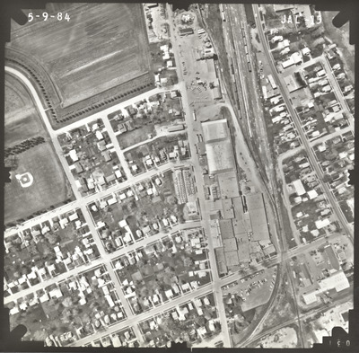
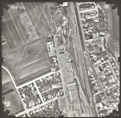
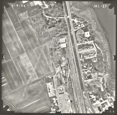
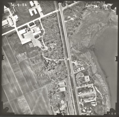
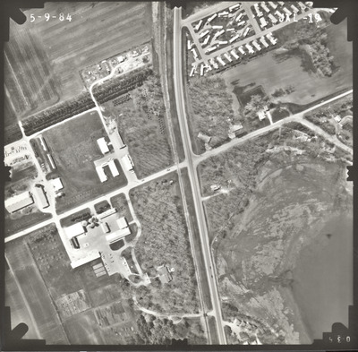
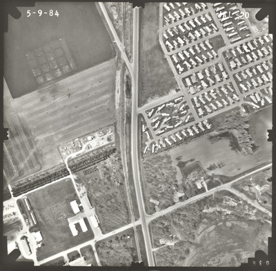
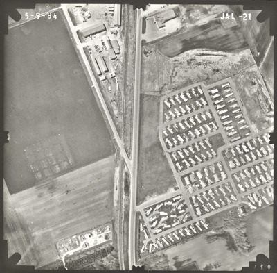
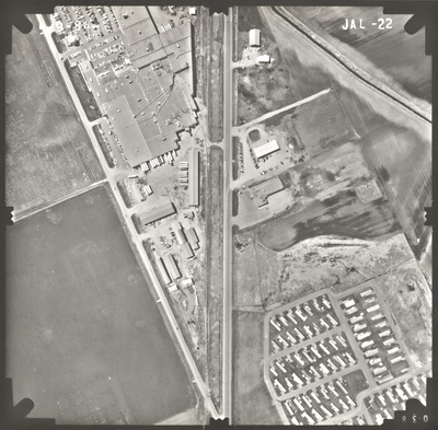
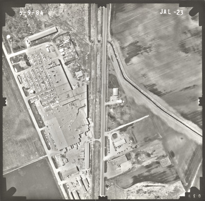
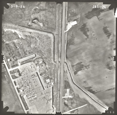
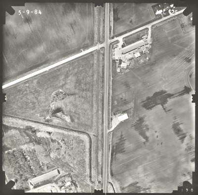
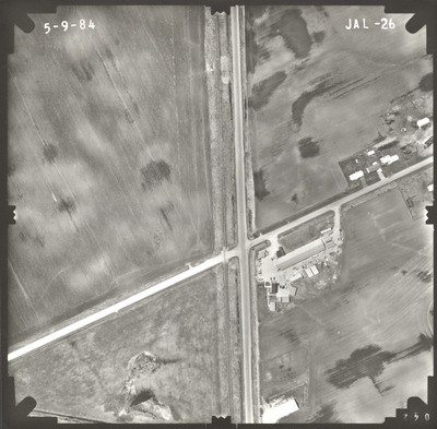
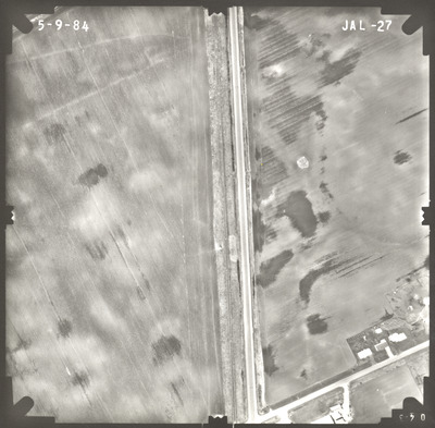
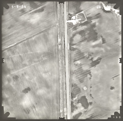
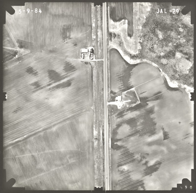
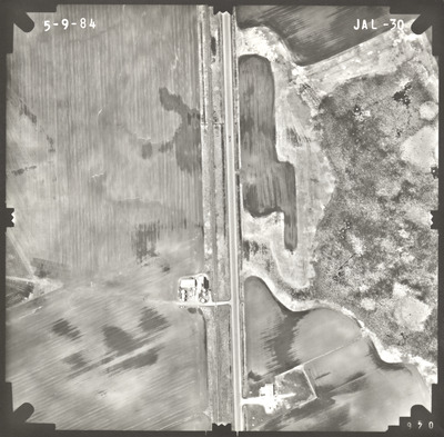
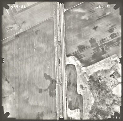
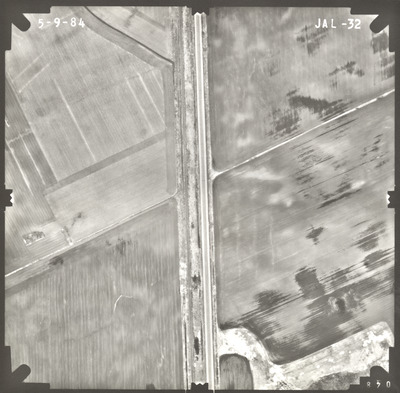
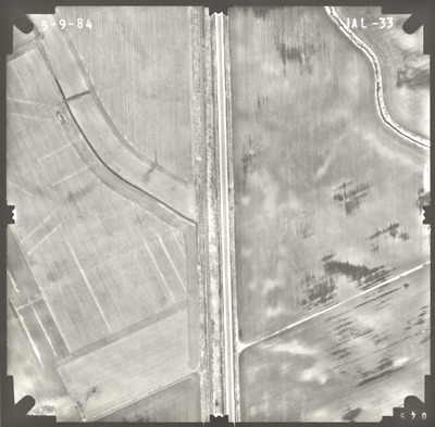
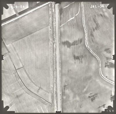
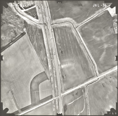
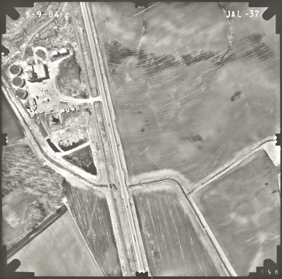
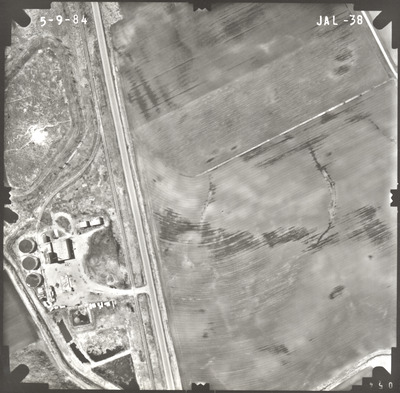
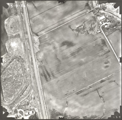
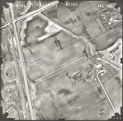
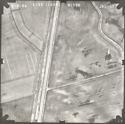
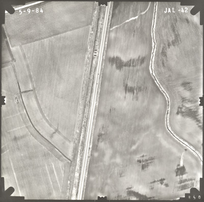
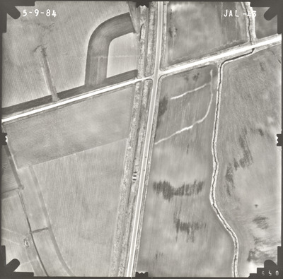
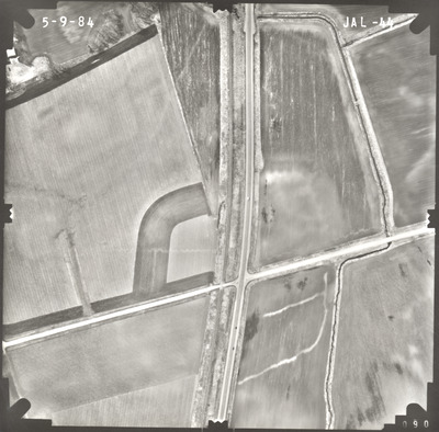
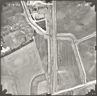
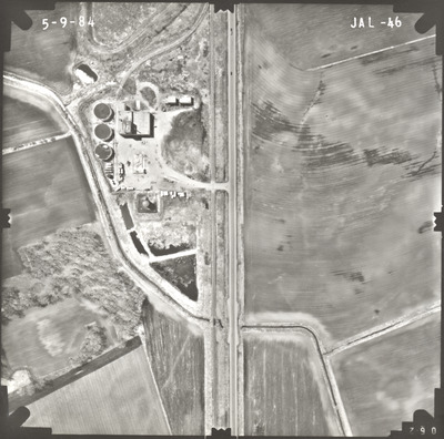
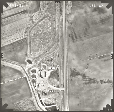
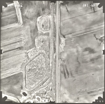
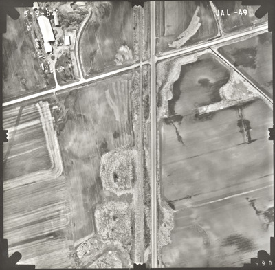
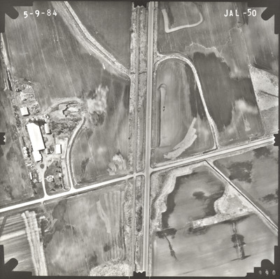
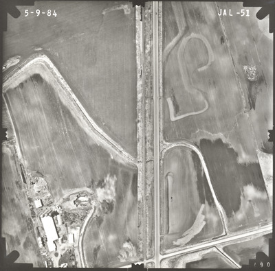
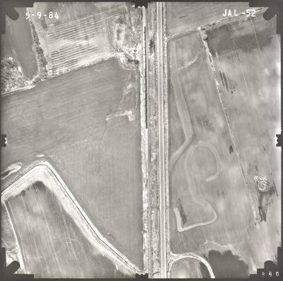
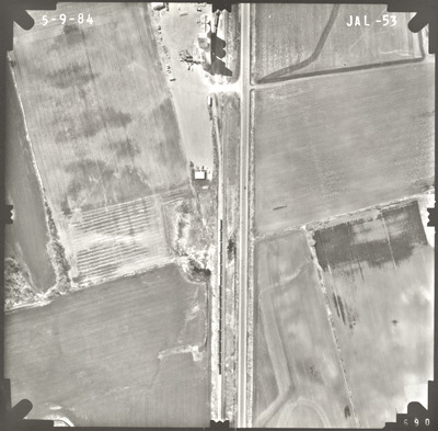
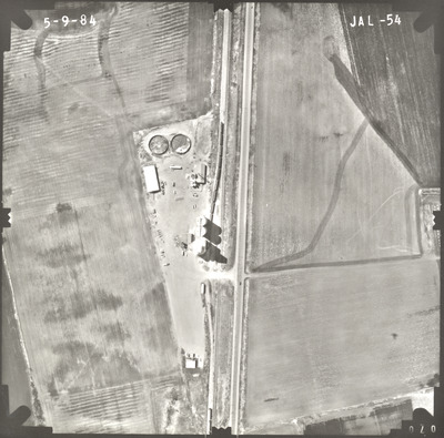
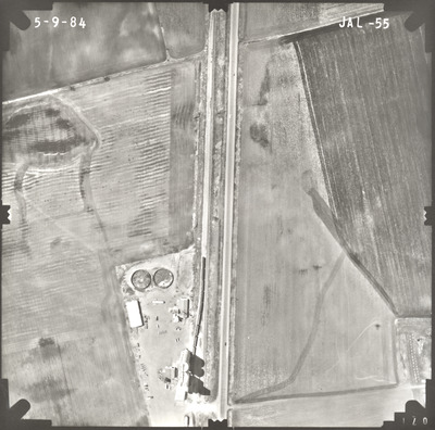
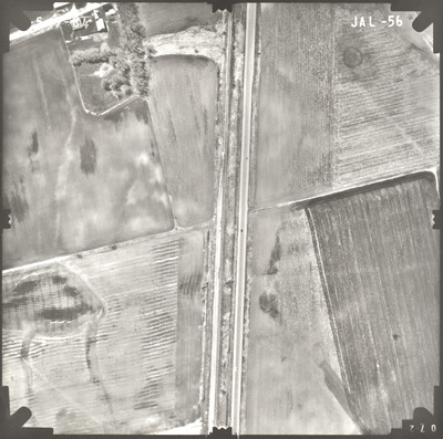
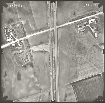
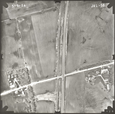
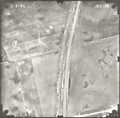
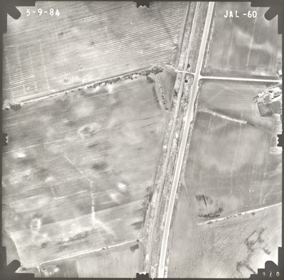
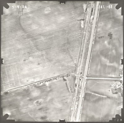
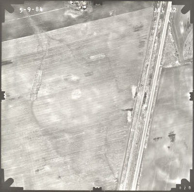
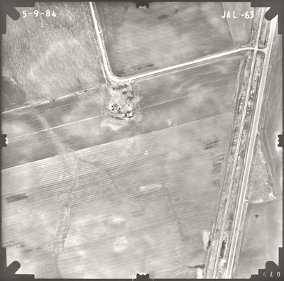
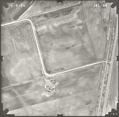
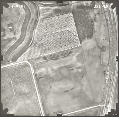
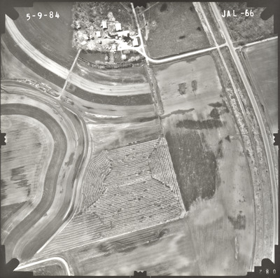
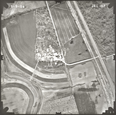
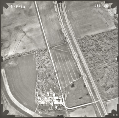
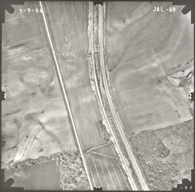
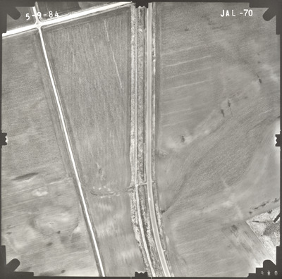
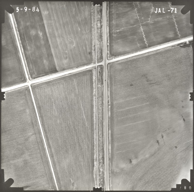
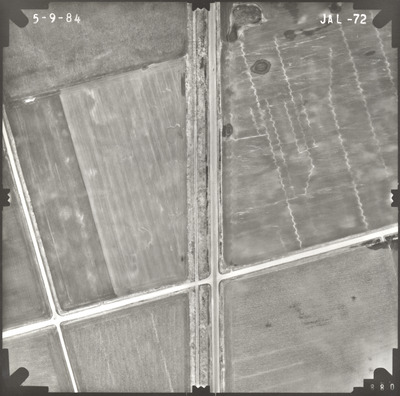
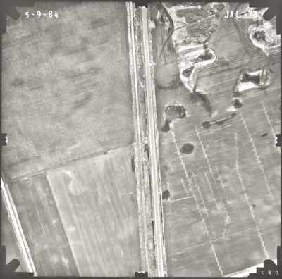
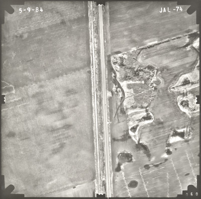
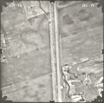
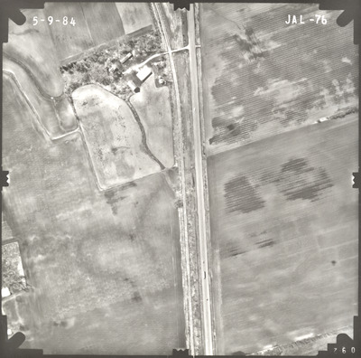
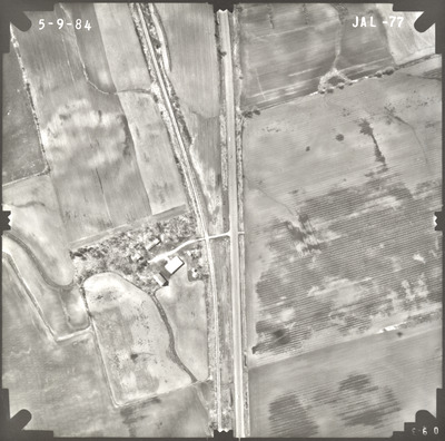
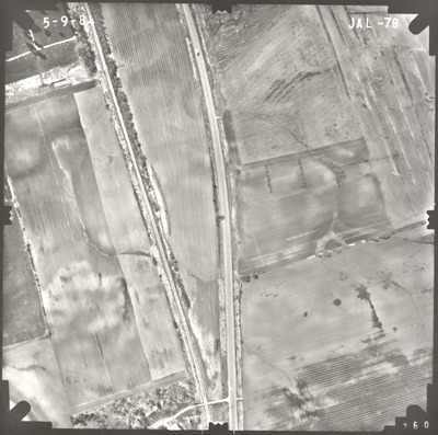
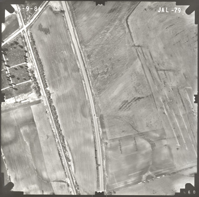
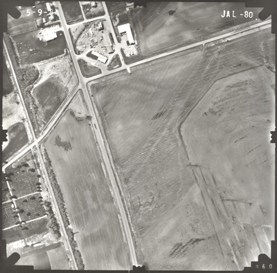
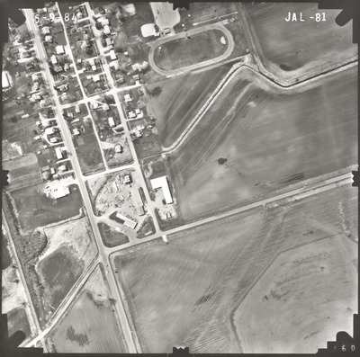
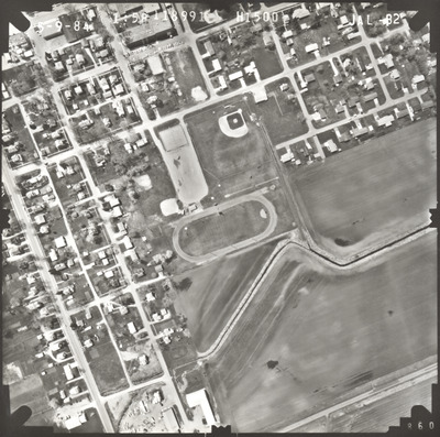
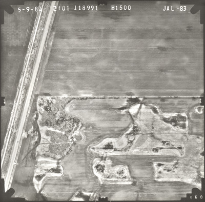
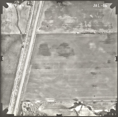
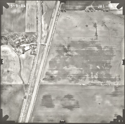
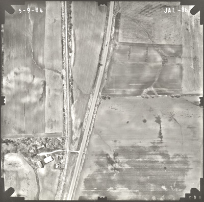
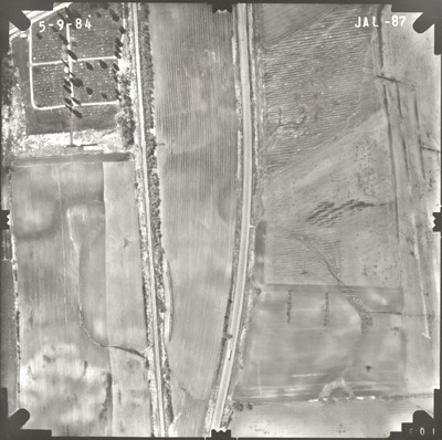
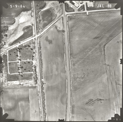
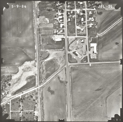
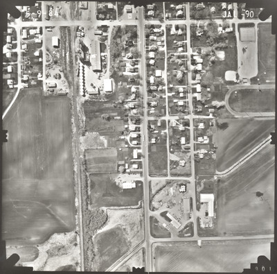
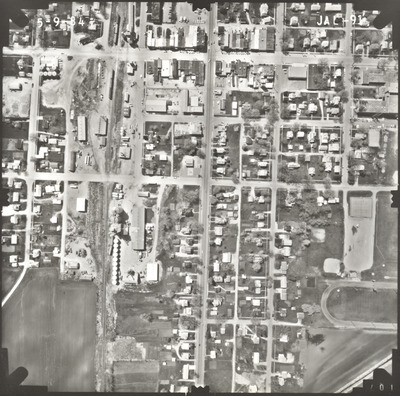
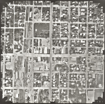
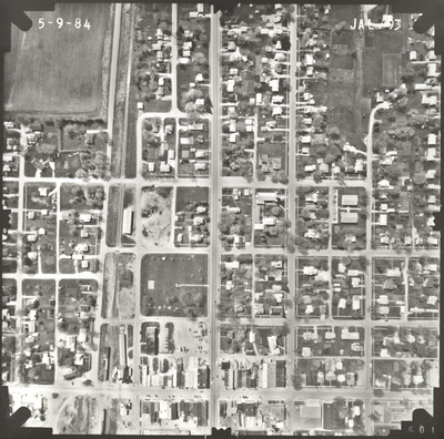
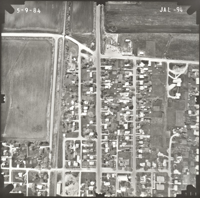
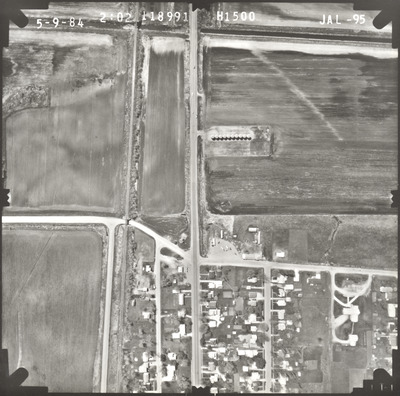
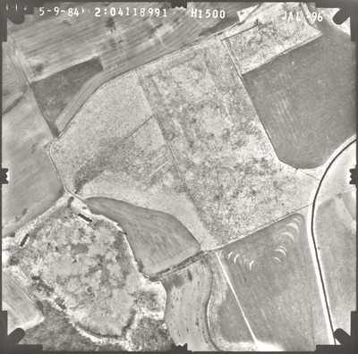
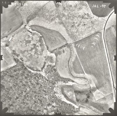
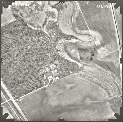
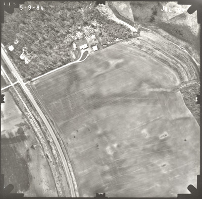
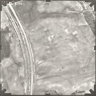
Aerial survey project no. 84S-63 was flown on May 9, 1984. These photos are a verbal scale of 1"=250'. The flight lines provide coverage for highway 14 from Waseca to Janesville.


Aerial survey project no. 84S-63 was flown on May 9, 1984. These photos are a verbal scale of 1"=250'. The flight lines provide coverage for highway 14 from Waseca to Janesville.


