

Preview
Flight Code
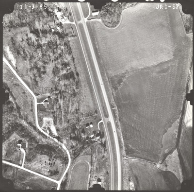
JRG
Date Flown
Fall 11-3-1985
Aerial Survey Project No. (A.S.P. No.)
85F-60
County
Nicollet
Trunk Highway (T.H.)
169
Location
St. Peter to Jct. TH 93 at Le Sueur
Center Latitude
44°24'11.20"N
Center Longitude
93°57'35.34"W
Scale
1''=250'
Flight Height
1500
Work Order No.
11
Agreement No.
62947
State Project No.
5211
Lens Serial Number
UAG 245
Focal Length
152.228 mm
Physical Format
Black and White Physical Aerial Photograph
Dimensions
9 x 9
Item Type
Still Image
Collection Name
Minnesota Department of Transportation District 7 Air Photo Collection, 1957-2006
Contributing Organization
Dr. Mary T. Dooley Map Library, Memorial Library, Minnesota State University, Mankato, P.O. Box 8419, Mankato, MN 56002-8419
Contact Information
Dr. Mary T. Dooley Map Library, Memorial Library, Minnesota State University, Mankato, P.O. Box 8419, Mankato, MN 56002-8419
Creative Commons License

This work is licensed under a Creative Commons Attribution-NonCommercial 4.0 International License
Scanning Center
Dr. Mary T. Dooley Map Library, Memorial Library, Minnesota State University, Mankato, P.O. Box 8419, Mankato, MN 56002-8419
Object File Name
MnDOT_1985_85F-60_JRG-57.tif
Date Digital
2023-03-23
Item Digital Format
Image/tiff
Master File Format
Image/tiff
Master File Size
96164642
Master File Bit Depth
24
Master File Resolution
800 dpi
Master File Width
7464
Master File Height
7369
Master File Hardware
Epson Expression 12000XL
Master File Software
VueScan
Master File System
Windows 10
Master File Checksum
8b99c30449c21f45a6b734ab8fa7a90c
Keywords
mndot, air photos, aerial photography, 1985, pond, stream, field tiling, wetland

