

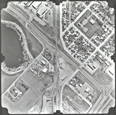
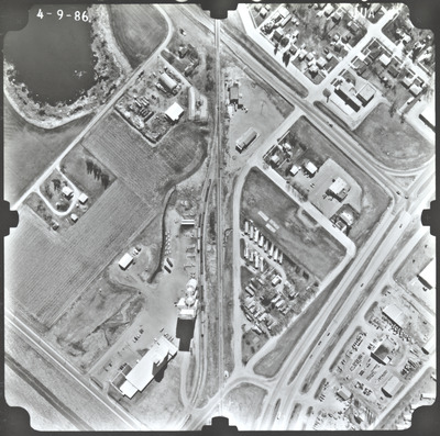
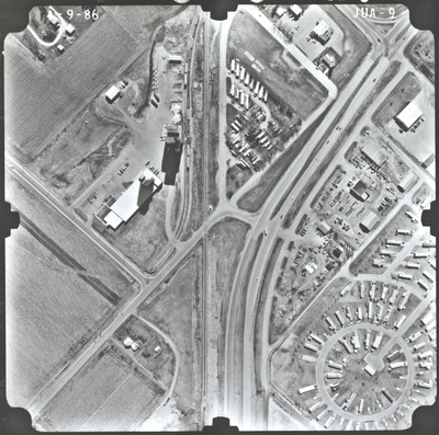
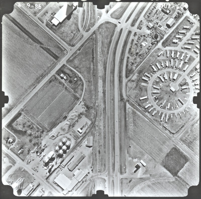
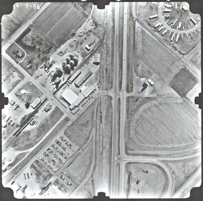
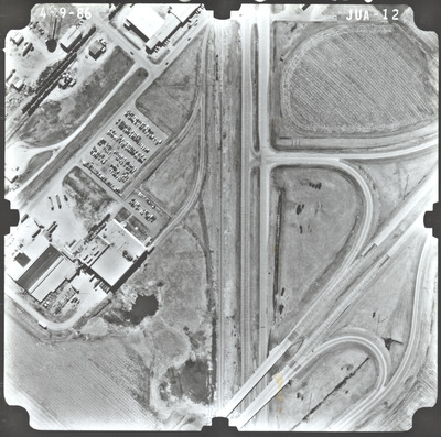
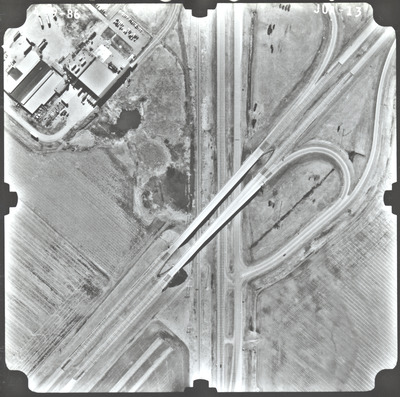
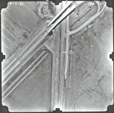
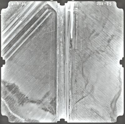
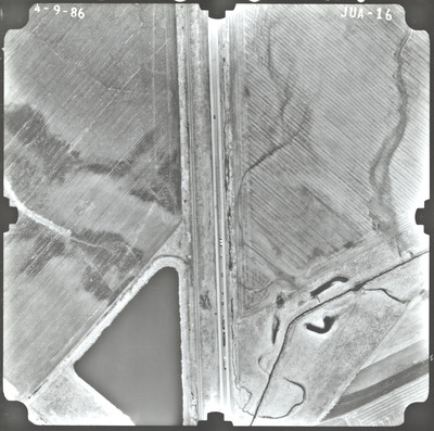
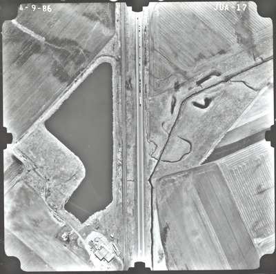
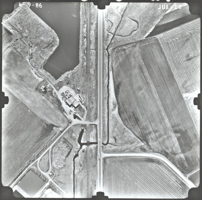
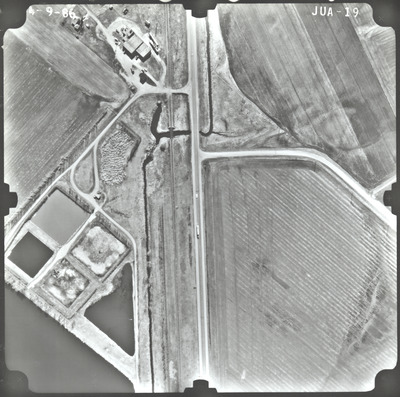
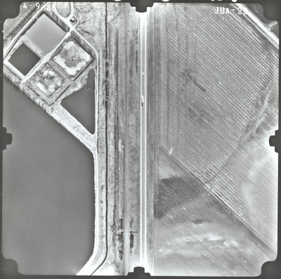
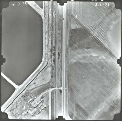
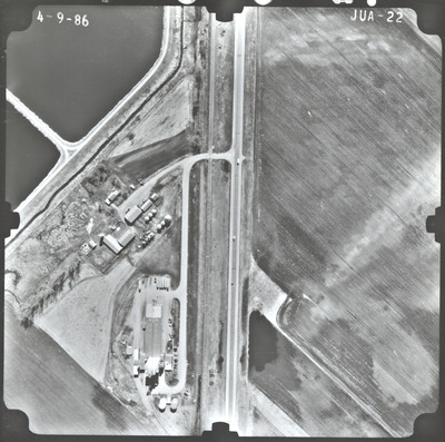
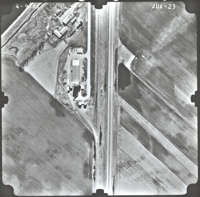
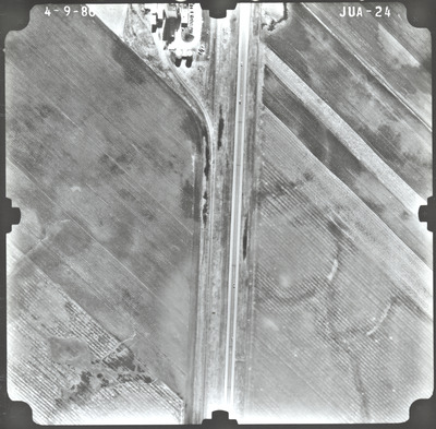
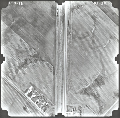
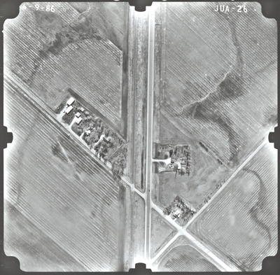
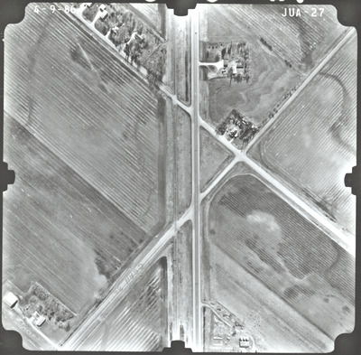
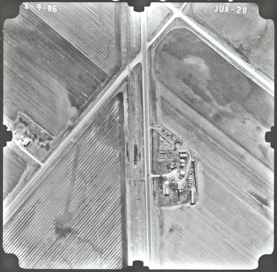
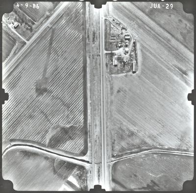
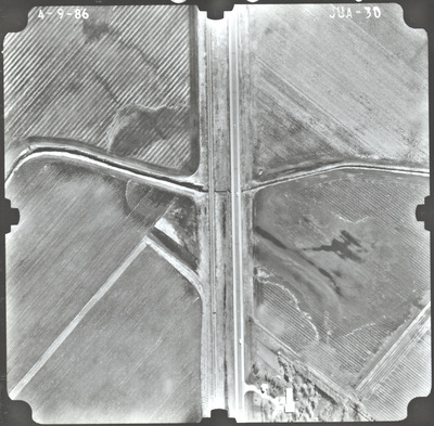
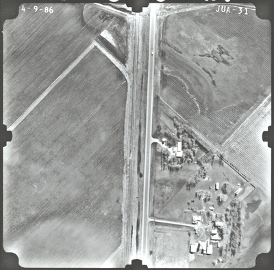
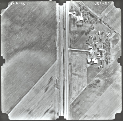
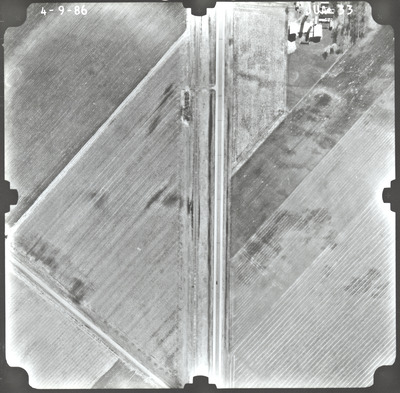
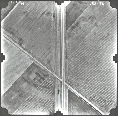
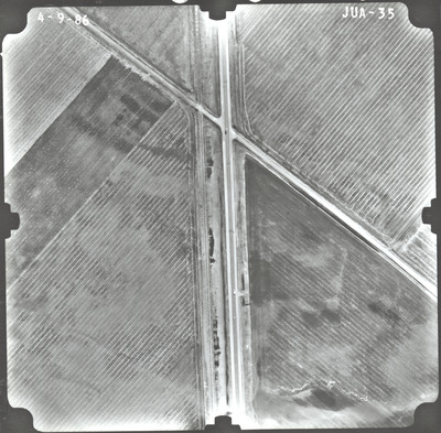
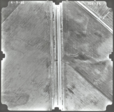
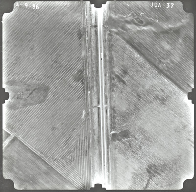
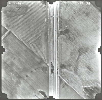
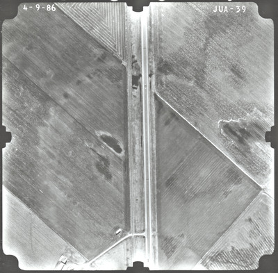
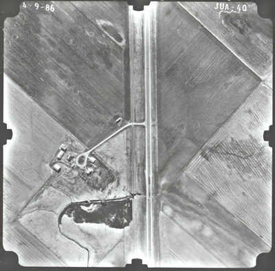
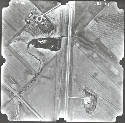
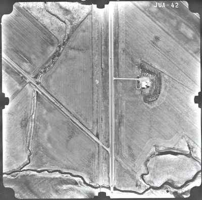
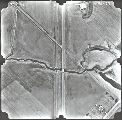
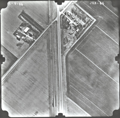
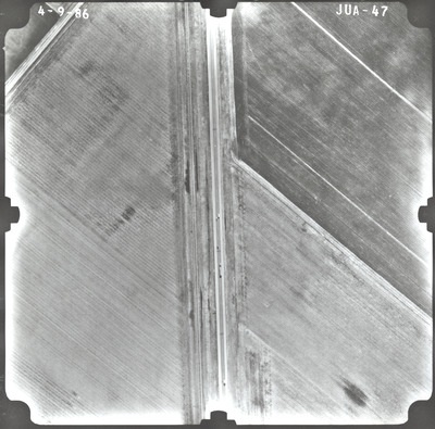
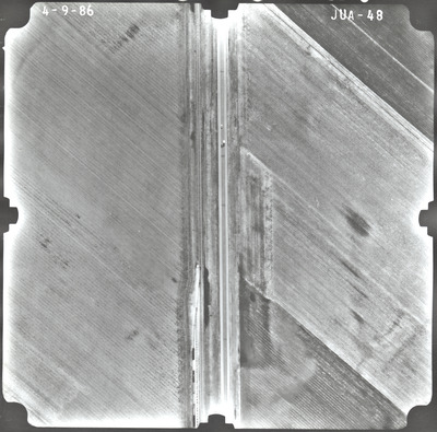
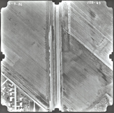
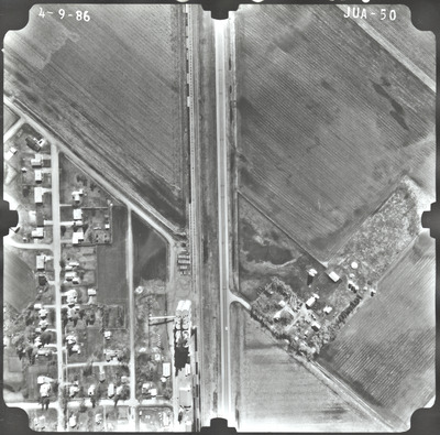
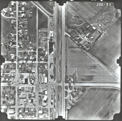
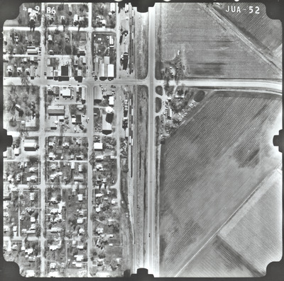
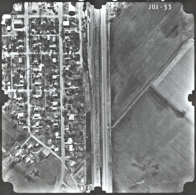
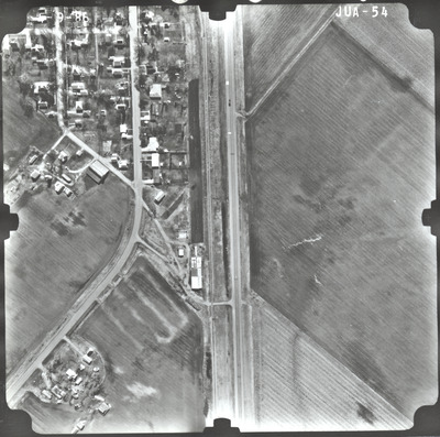
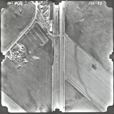
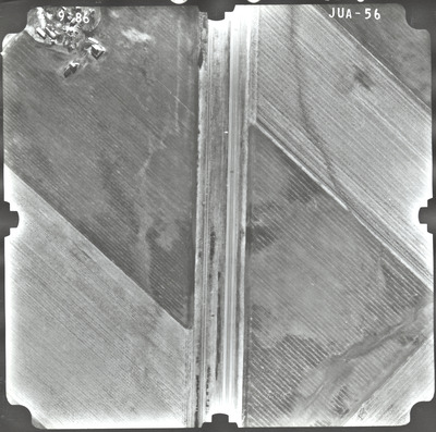
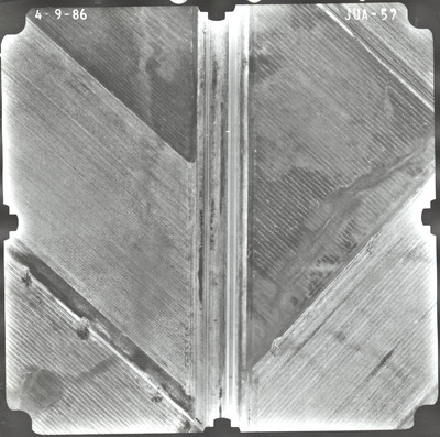
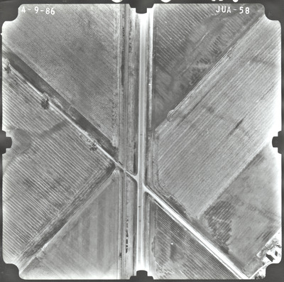
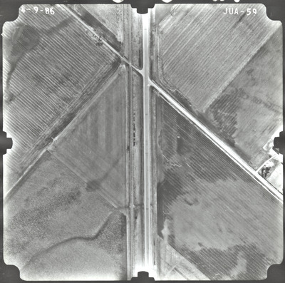
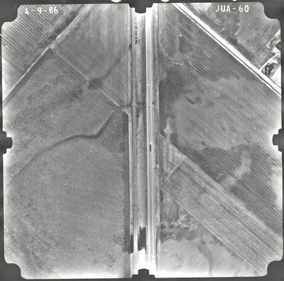
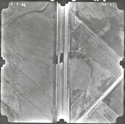
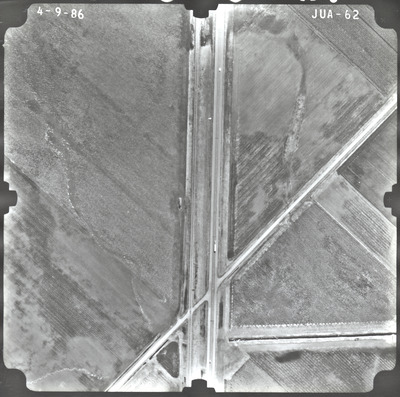
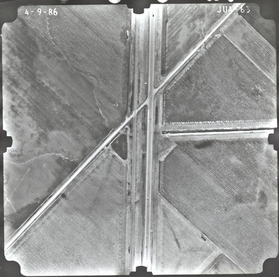
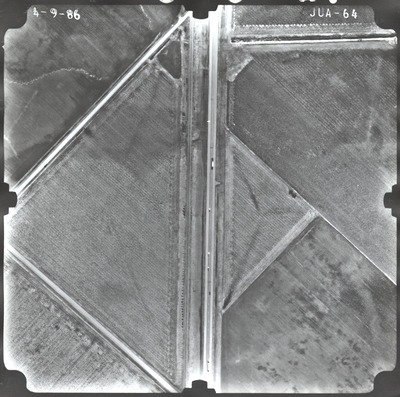
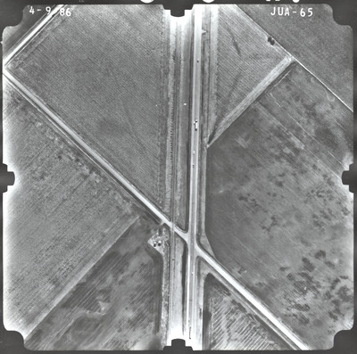
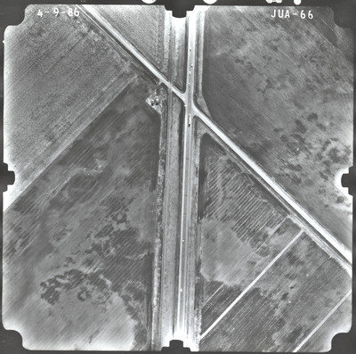
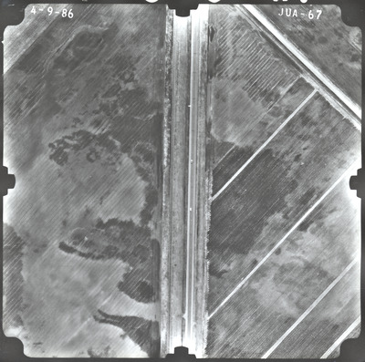
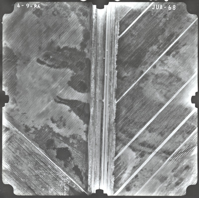
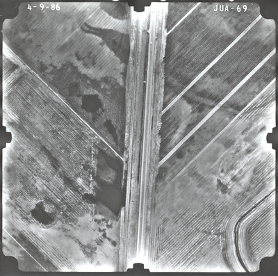
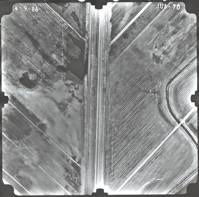
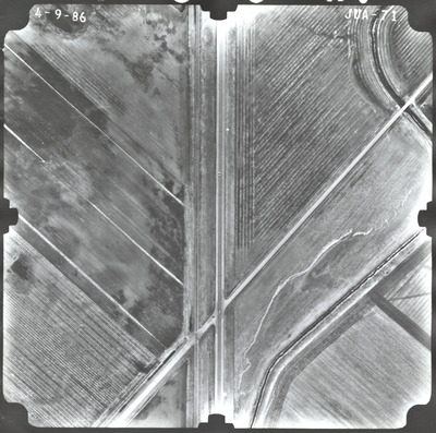
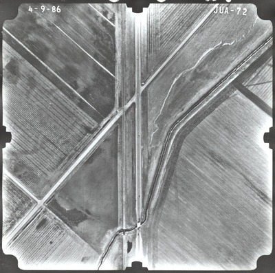
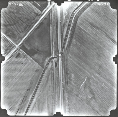
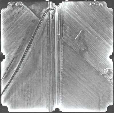
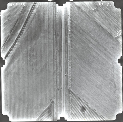
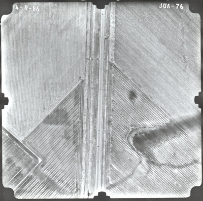
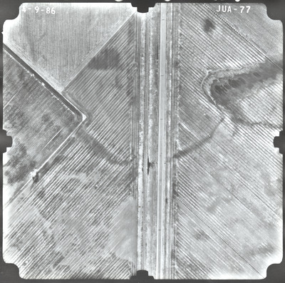
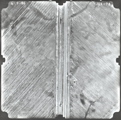
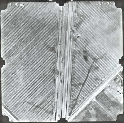
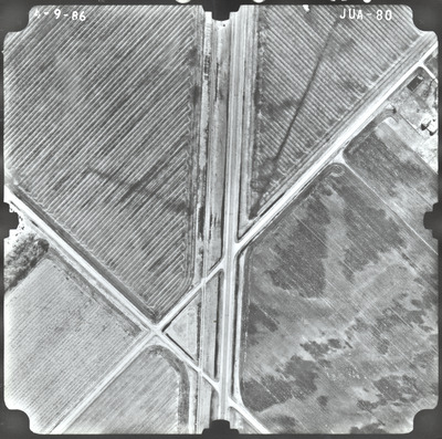
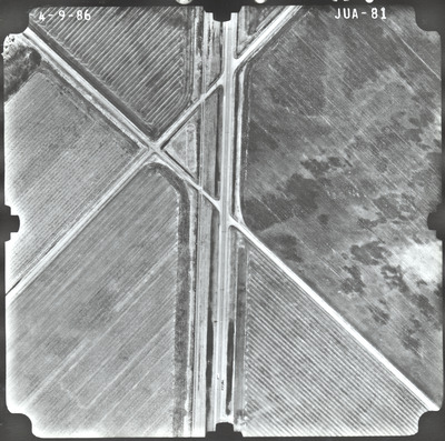
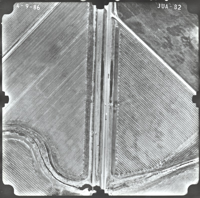
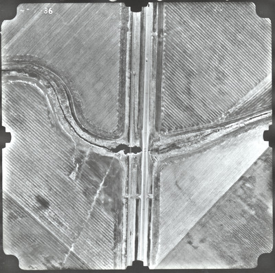
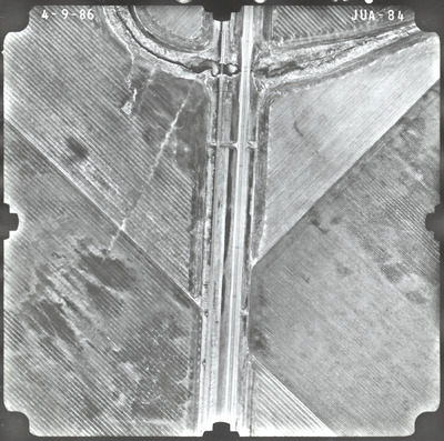
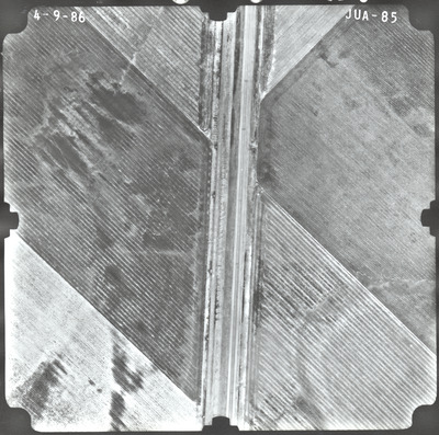
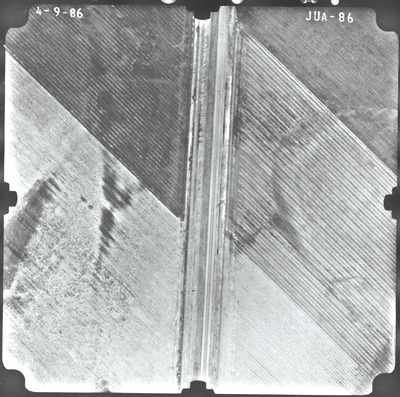
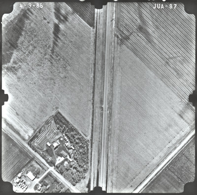
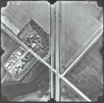
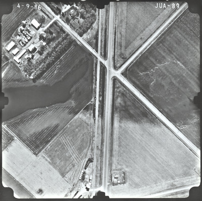
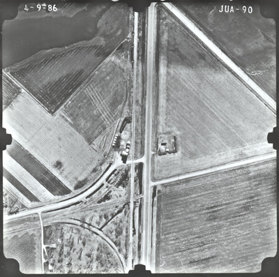
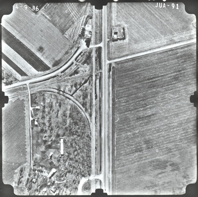
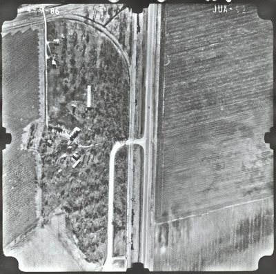
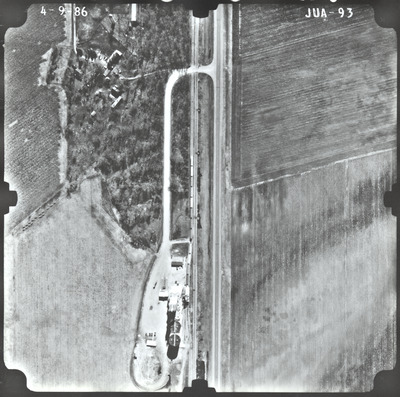
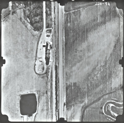
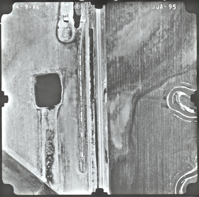
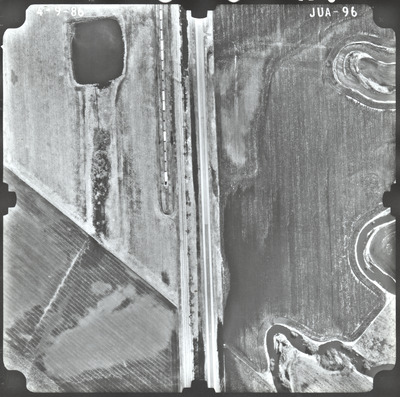
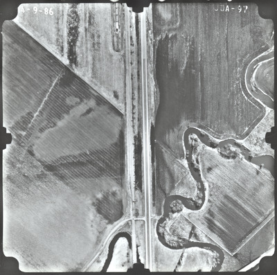
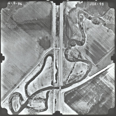
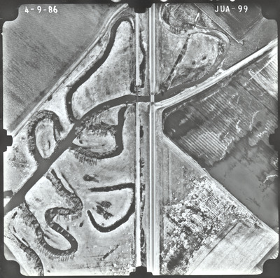
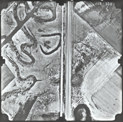
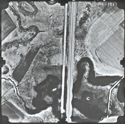
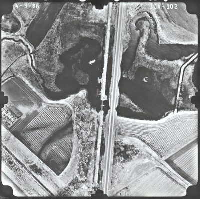
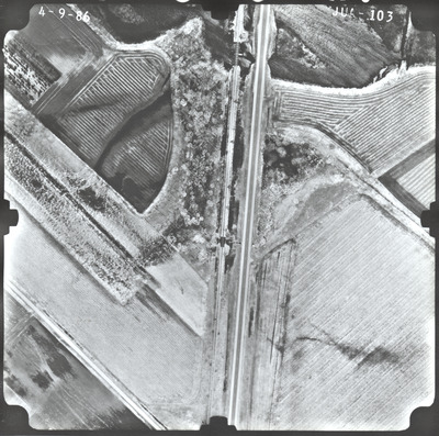
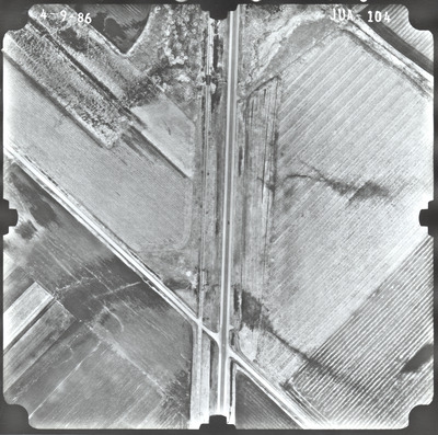
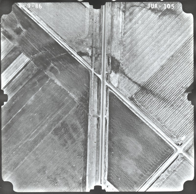
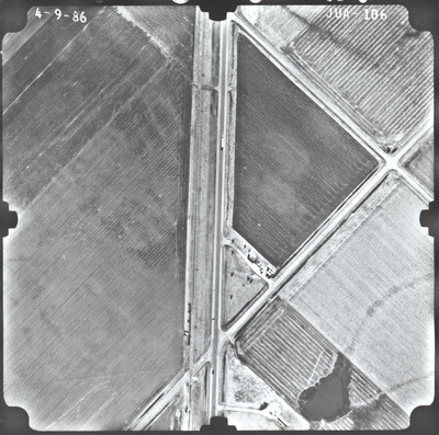
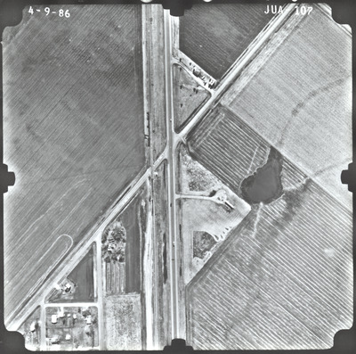
Aerial survey project no. 86S-24 was flown on April 9, April 10, and April 11, 1986. These photos are a verbal scale of 1"=250'. The flight lines provide coverage for highway 60 from the junction with highway I-90 at Worthington to the southern junction of highway 71 at Windom.
Printing is not supported at the primary Gallery Thumbnail page. Please first navigate to a specific Image before printing.


