

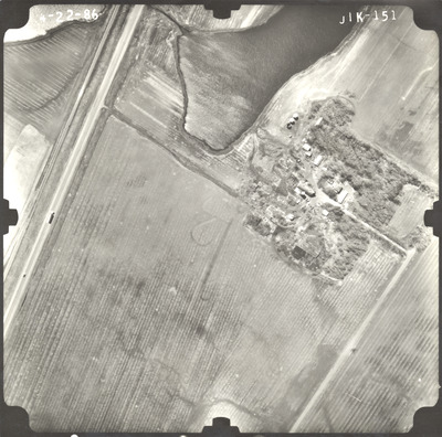
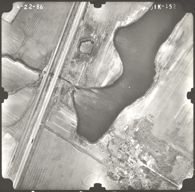
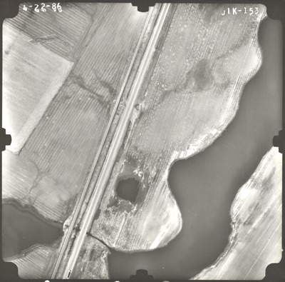
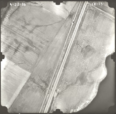
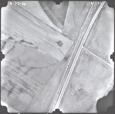
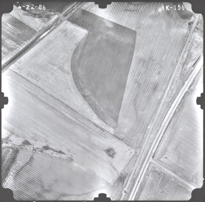
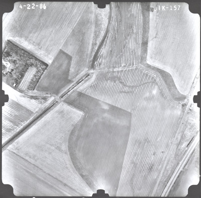
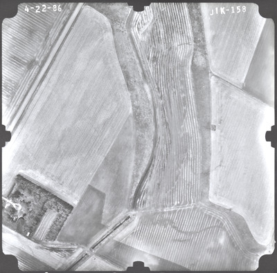
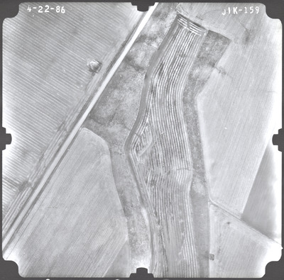
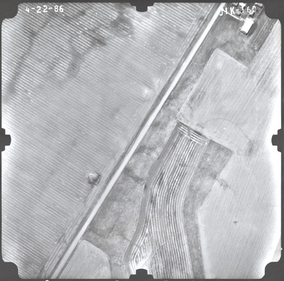
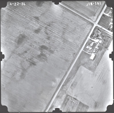
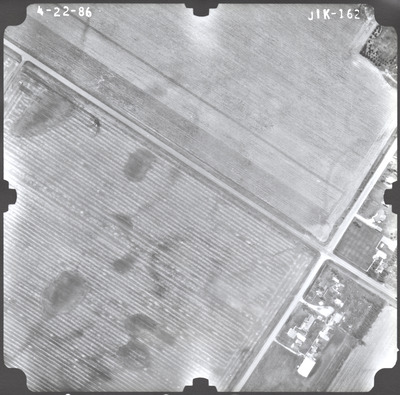
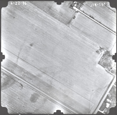
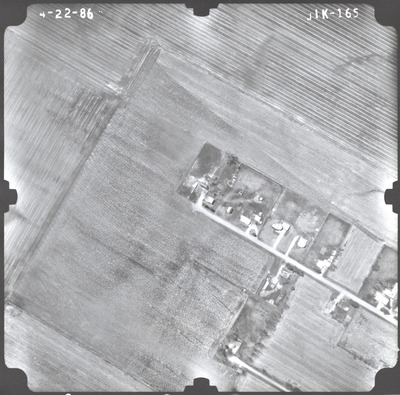
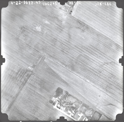
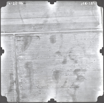
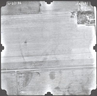
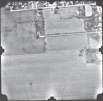
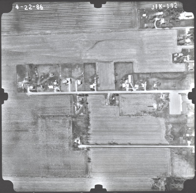
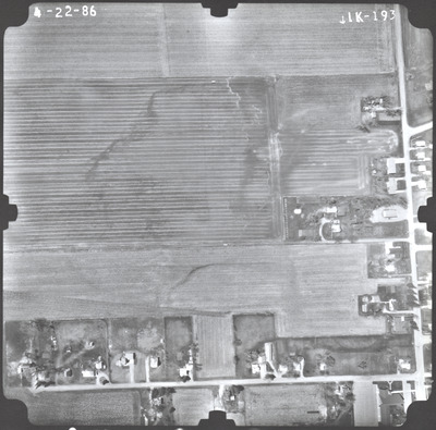
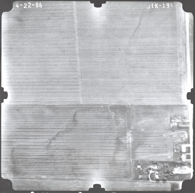
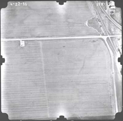
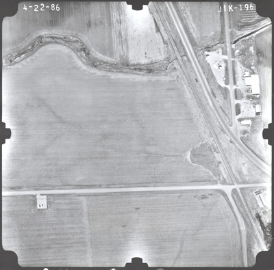
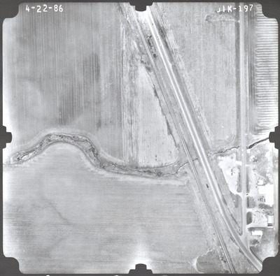
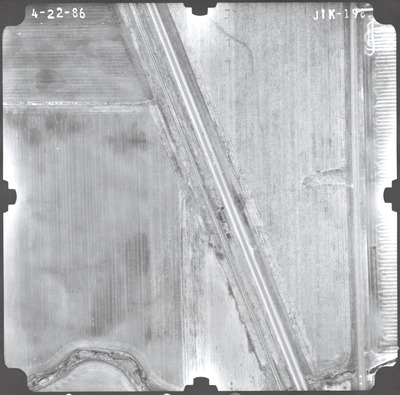
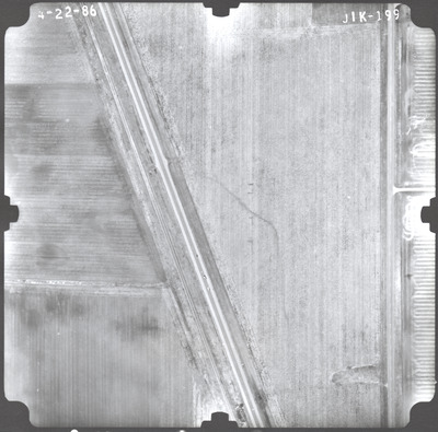
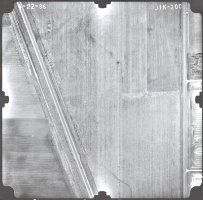
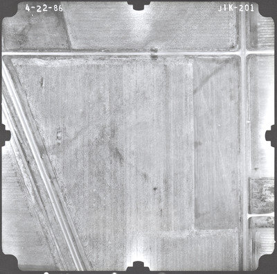
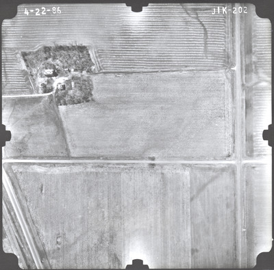
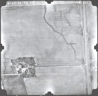
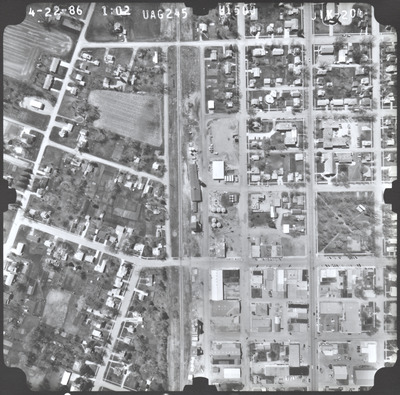
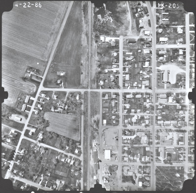
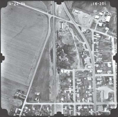
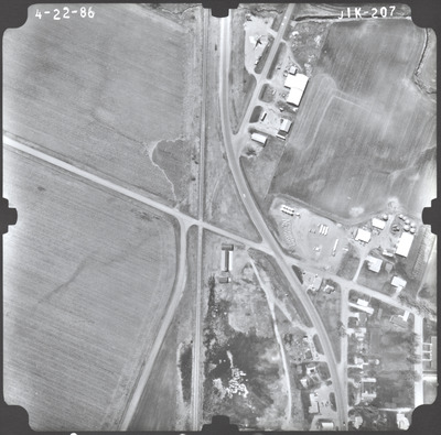
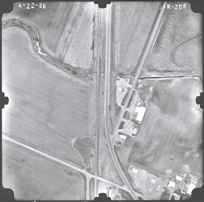
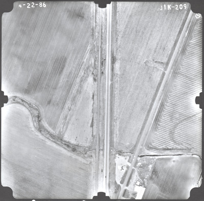
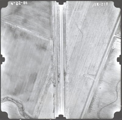
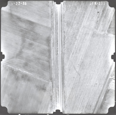
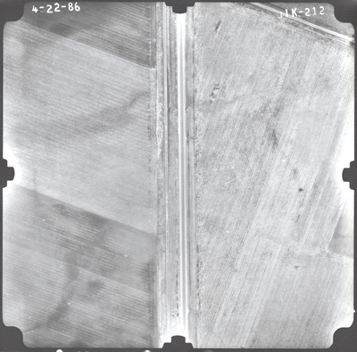
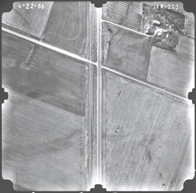
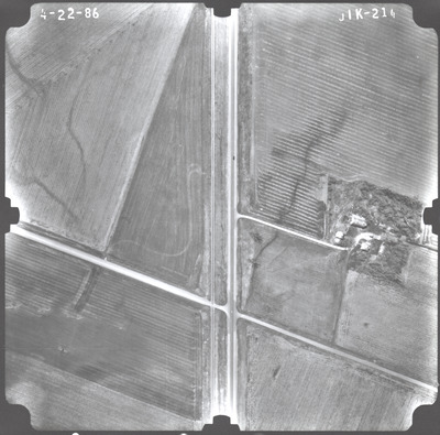
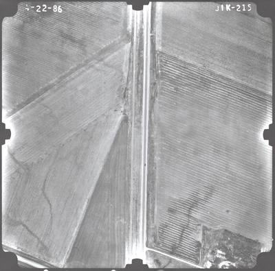
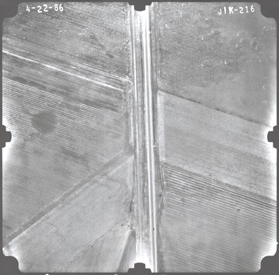
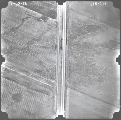
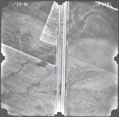
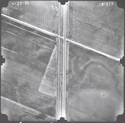
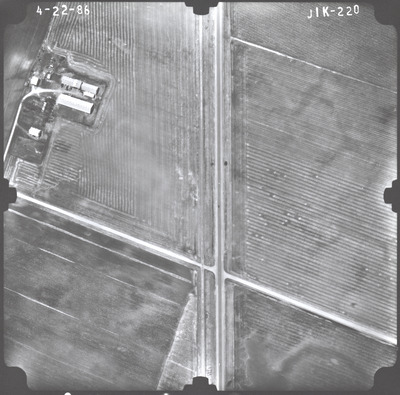
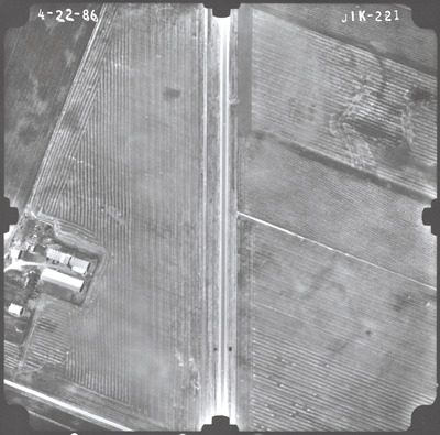
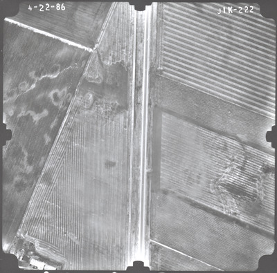
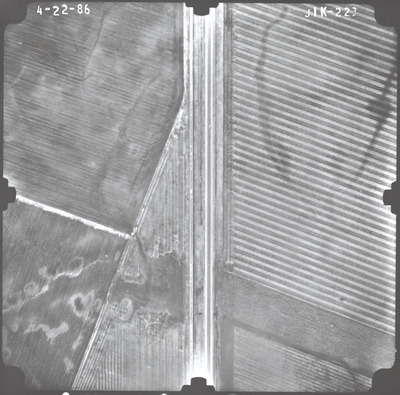
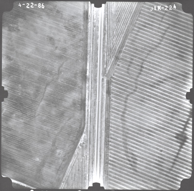
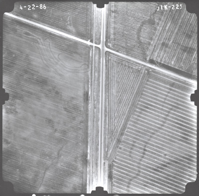
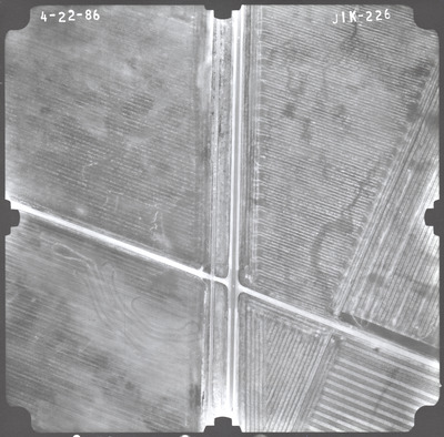
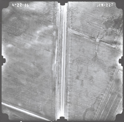
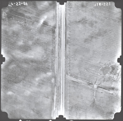
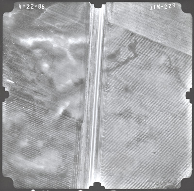
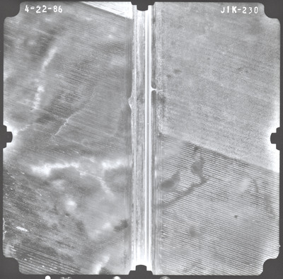
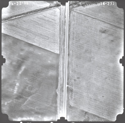
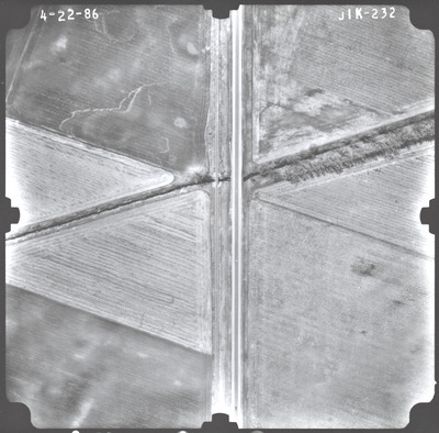
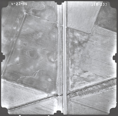
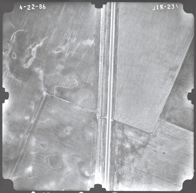
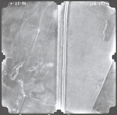
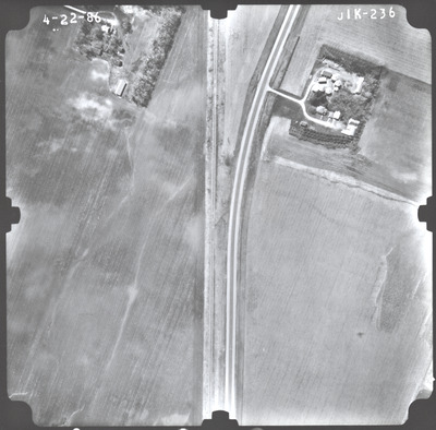
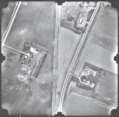
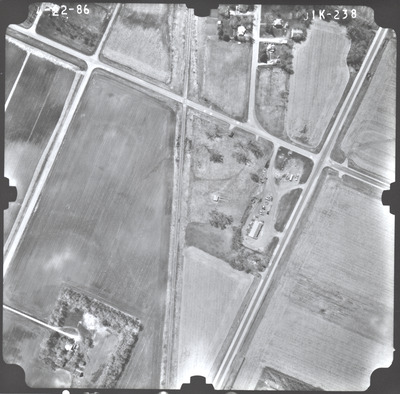
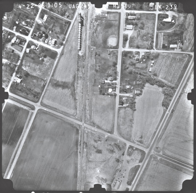
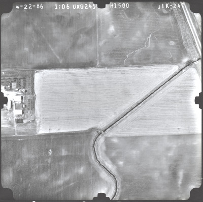
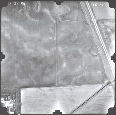
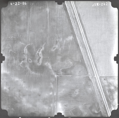
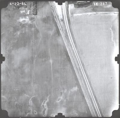
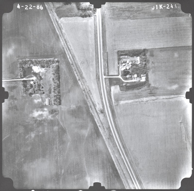
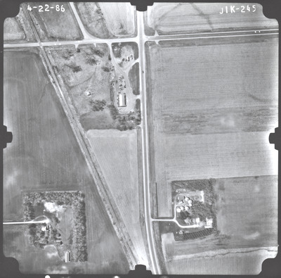
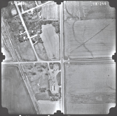
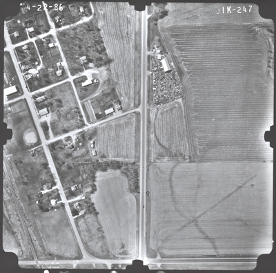
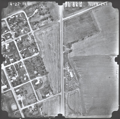
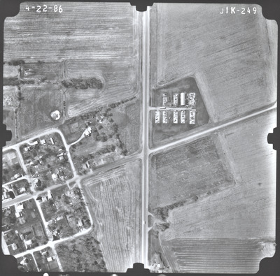
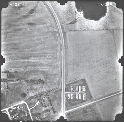
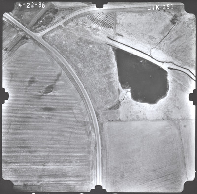
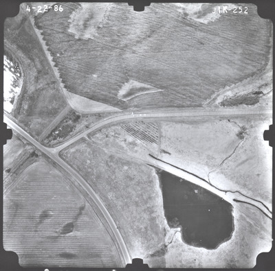
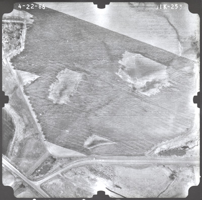
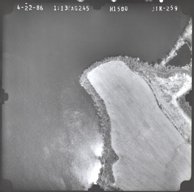
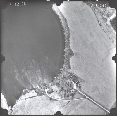
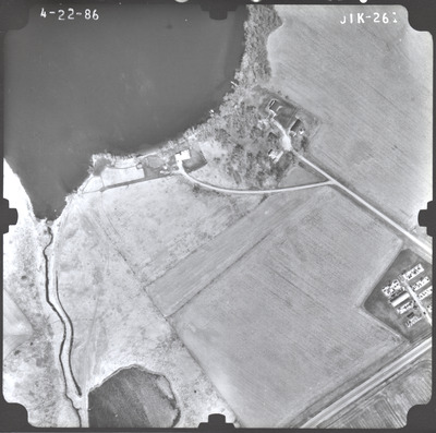
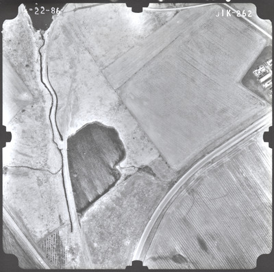
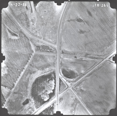
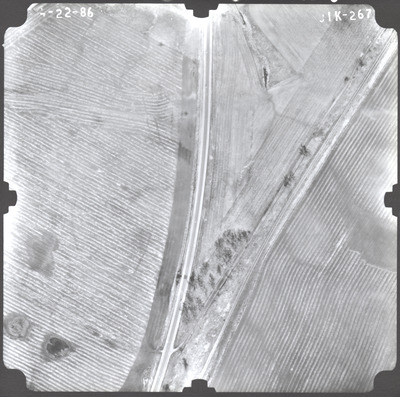
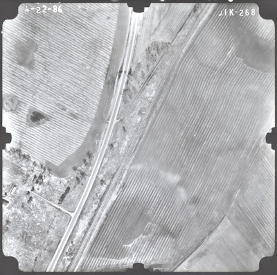
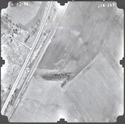
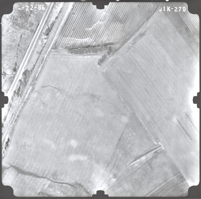
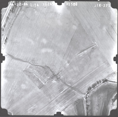
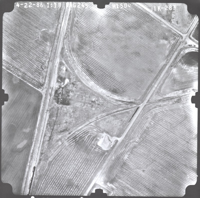
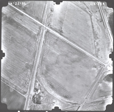
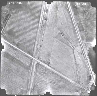
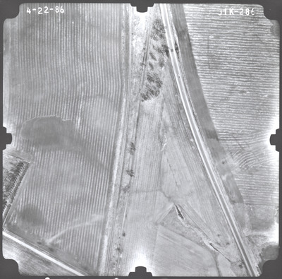
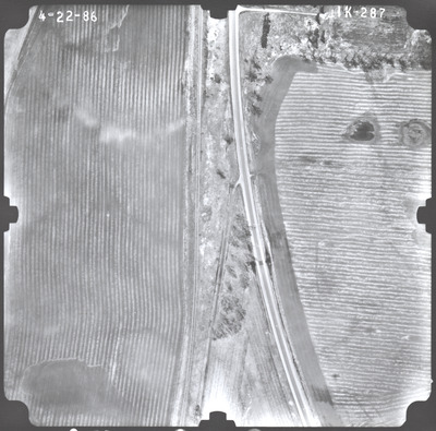
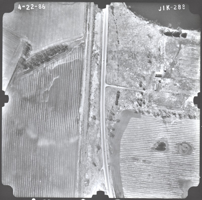
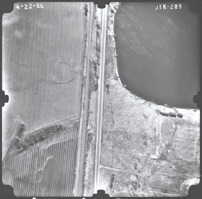
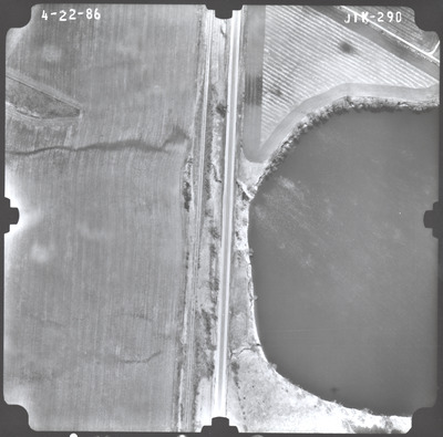
Aerial survey project no. 86S-93 was flown on April 22, 1986. These photos are a verbal scale of 1"=250'. The flight lines provide coverage for highway 60 from the eastern city limits of Mountain Lake to the Cottonwood County line.
Printing is not supported at the primary Gallery Thumbnail page. Please first navigate to a specific Image before printing.


