

Preview
Flight Code
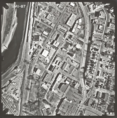
KJA
Date Flown
Fall 11-11-1987
Aerial Survey Project No. (A.S.P. No.)
87F-62
County
Blue Earth, Nicollet
Trunk Highway (T.H.)
169
Location
In Mankato from 1 mi. W. of Blue Earth River to 1 mi. N. of TH 14
Center Latitude
44° 9'44.87"N
Center Longitude
94° 0'47.48"W
Scale
1''=250'
Flight Height
1500
Work Order No.
18
Agreement No.
64236
State Project No.
0716-21, 5212-17
Camera
Camera No. 124252
Lens Serial Number
124302
Focal Length
152.953 mm
Physical Format
Black and White Physical Aerial Photograph
Dimensions
9 x 9
Item Type
Still Image
Collection Name
Minnesota Department of Transportation District 7 Air Photo Collection, 1957-2006
Contributing Organization
Dr. Mary T. Dooley Map Library, Memorial Library, Minnesota State University, Mankato, P.O. Box 8419, Mankato, MN 56002-8419
Contact Information
Dr. Mary T. Dooley Map Library, Memorial Library, Minnesota State University, Mankato, P.O. Box 8419, Mankato, MN 56002-8419
Creative Commons License

This work is licensed under a Creative Commons Attribution-NonCommercial 4.0 International License
Scanning Center
Dr. Mary T. Dooley Map Library, Memorial Library, Minnesota State University, Mankato, P.O. Box 8419, Mankato, MN 56002-8419
Object File Name
MnDOT_1987_87F-62_KJA-29.tif
Date Digital
2022-11-04
Item Digital Format
Image/tiff
Master File Format
Image/tiff
Master File Size
118391176
Master File Bit Depth
24
Master File Resolution
800 dpi
Master File Width
7464
Master File Height
7534
Master File Hardware
Epson Expression 10000XL
Master File Software
VueScan
Master File System
Windows 10
Master File Checksum
ac56ef52f9c00ac5a278c90d83bab7be
Keywords
mndot, air photos, aerial photography, 1987, mankato, north mankato, minnesota river, railroad

