

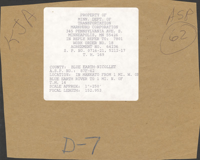
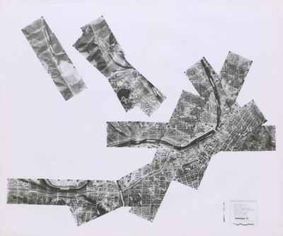
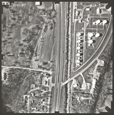
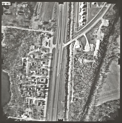
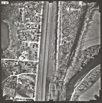
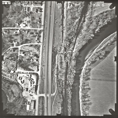
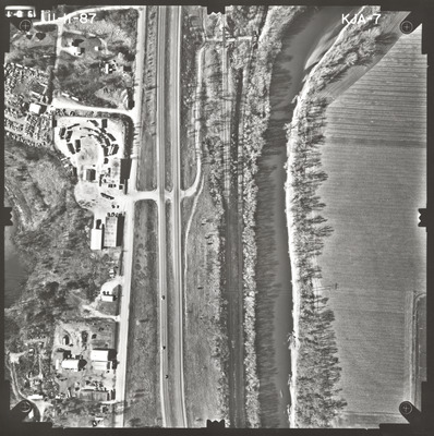
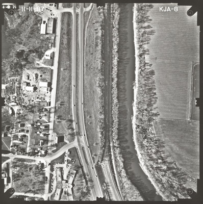
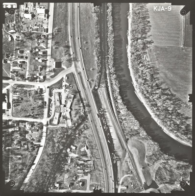
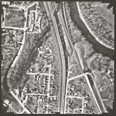
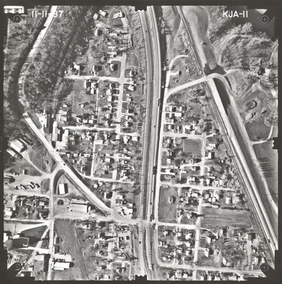
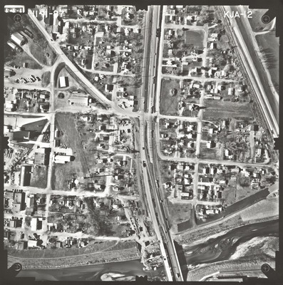
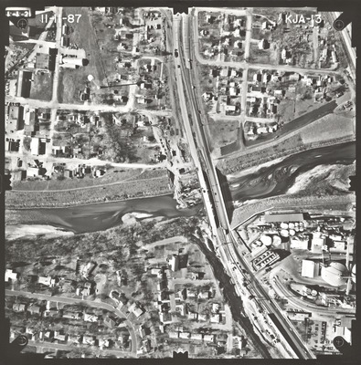
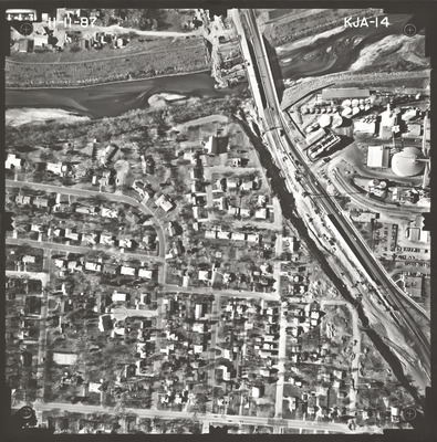
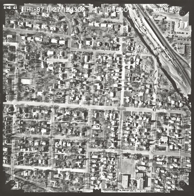
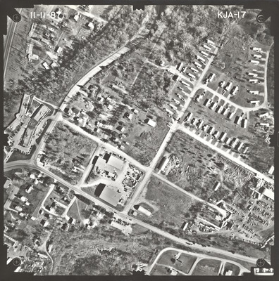
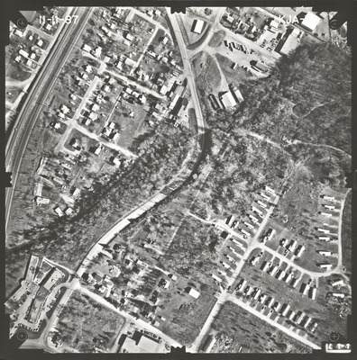
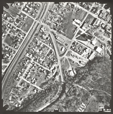
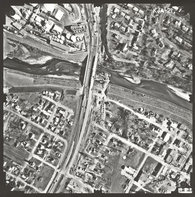
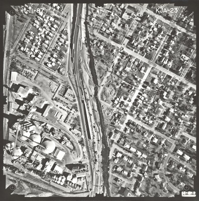
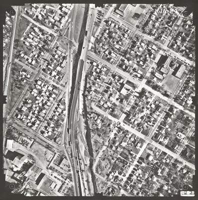
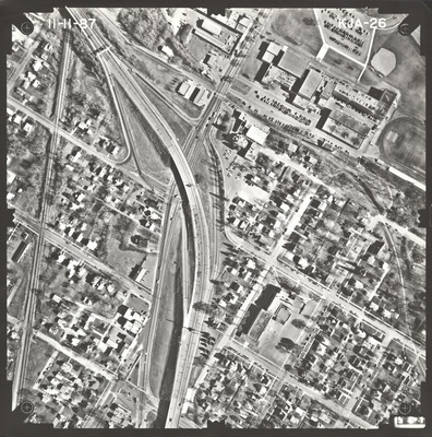
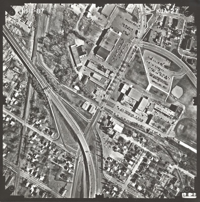
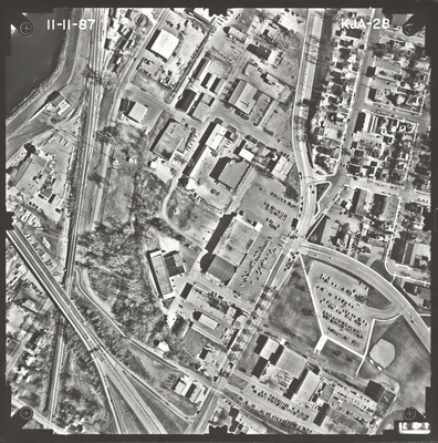
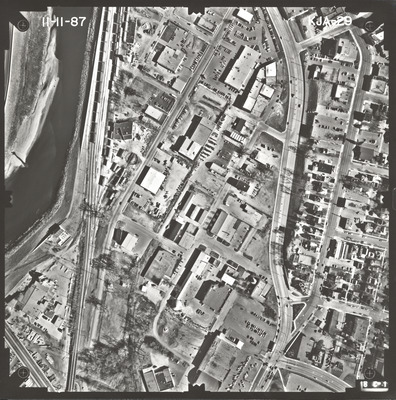
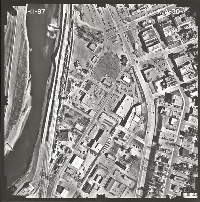
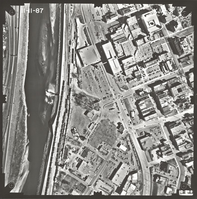
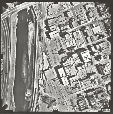
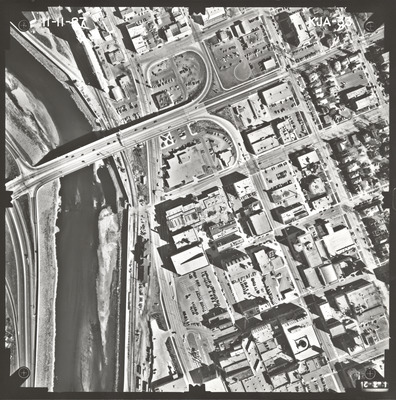
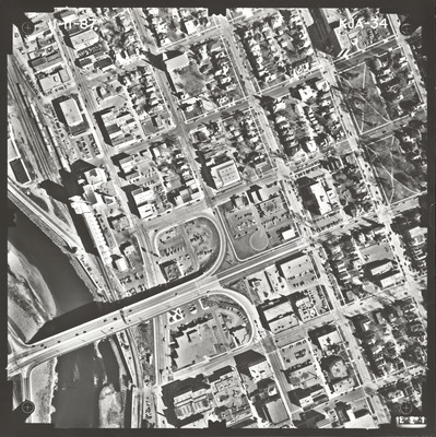
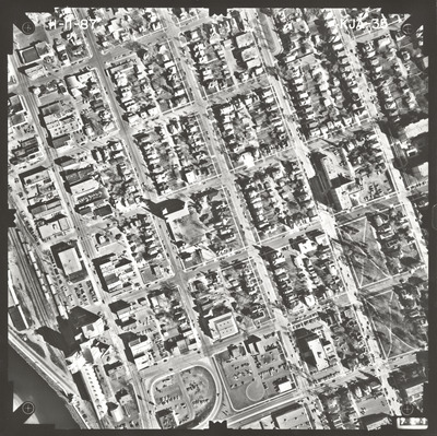
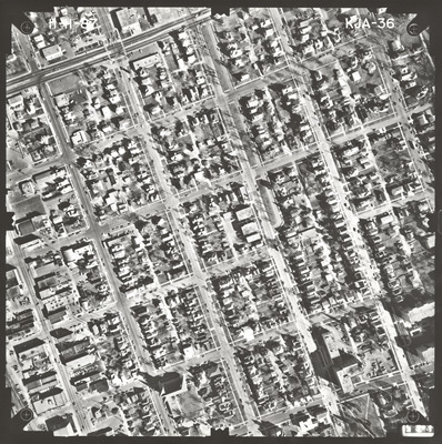
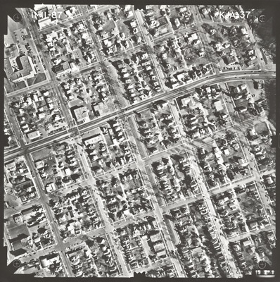
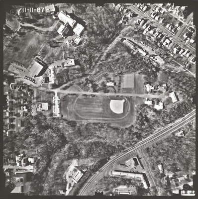
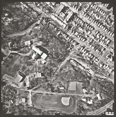
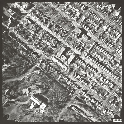
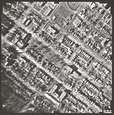
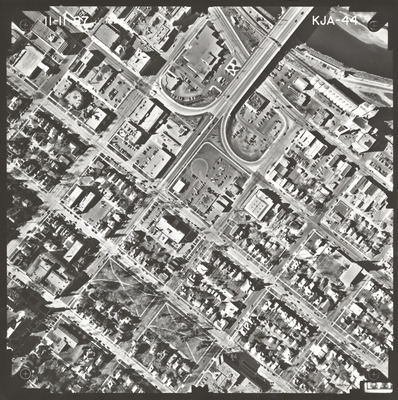
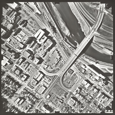
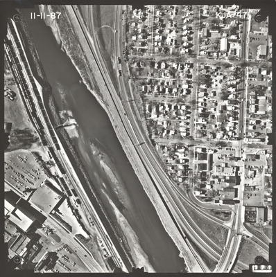
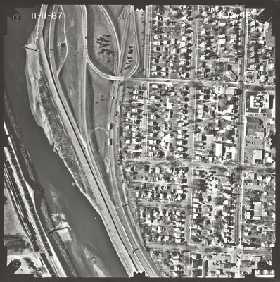
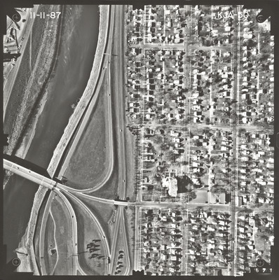
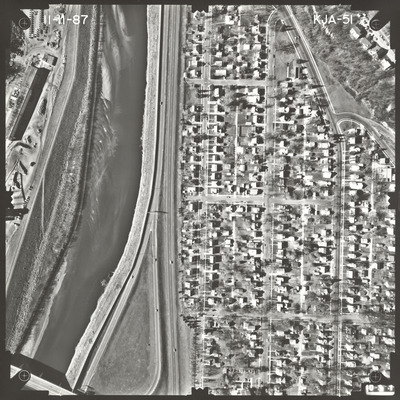
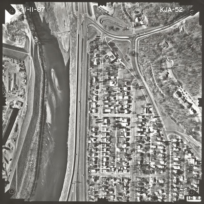
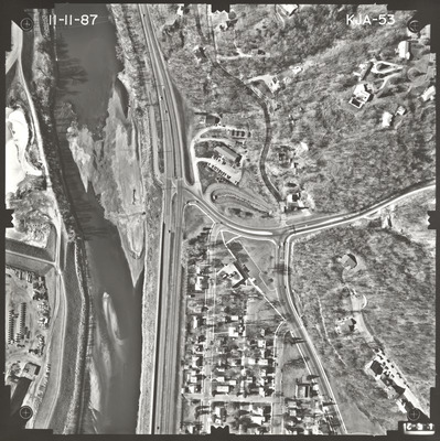
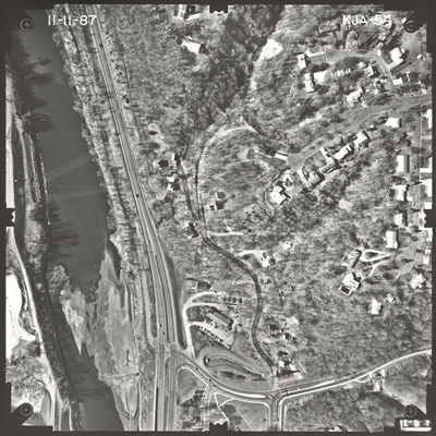
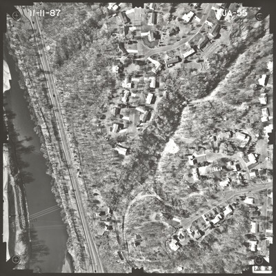
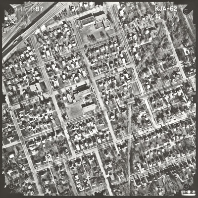
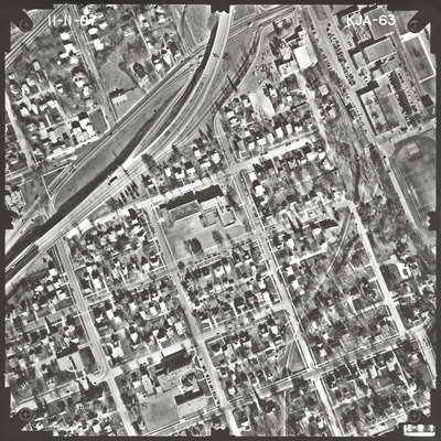
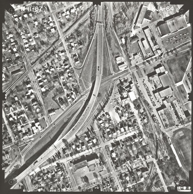
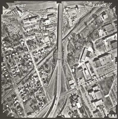
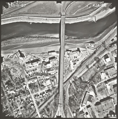
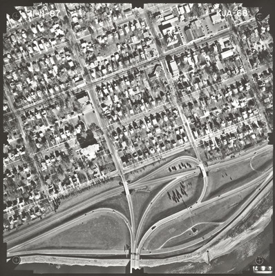
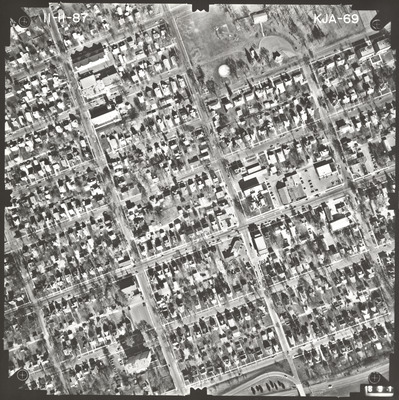
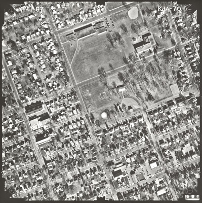
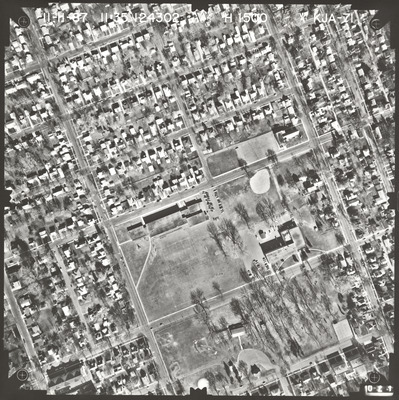
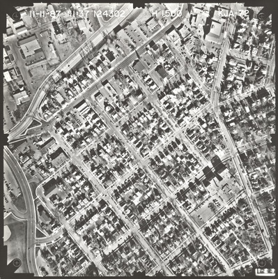
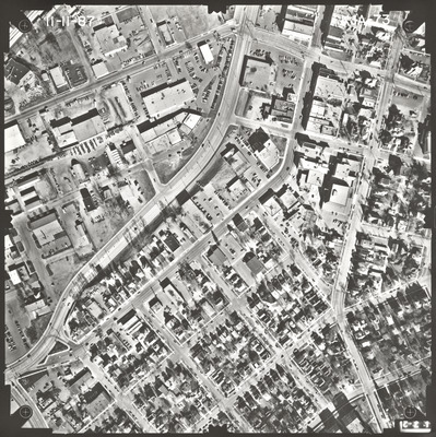
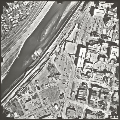
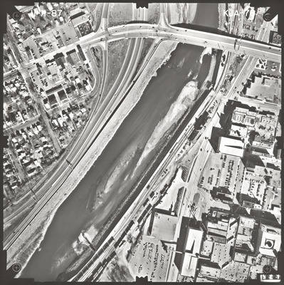
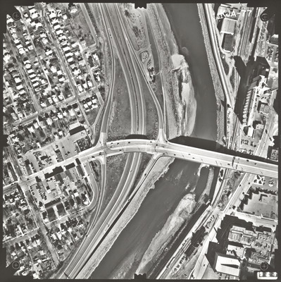
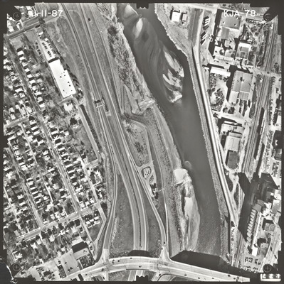
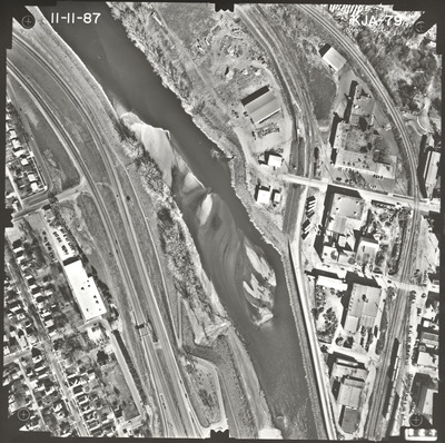
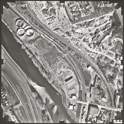
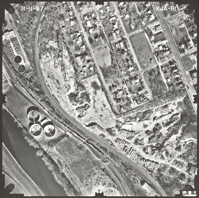
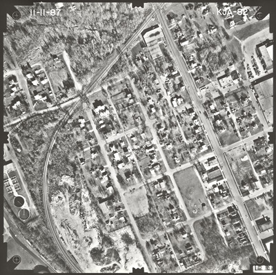
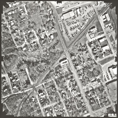
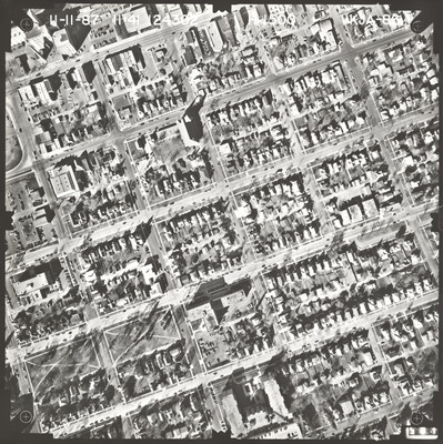
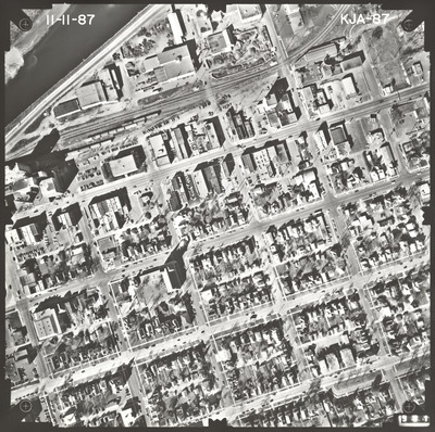
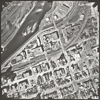
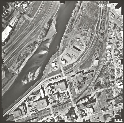
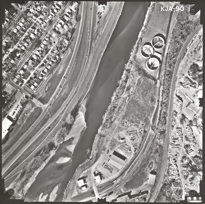
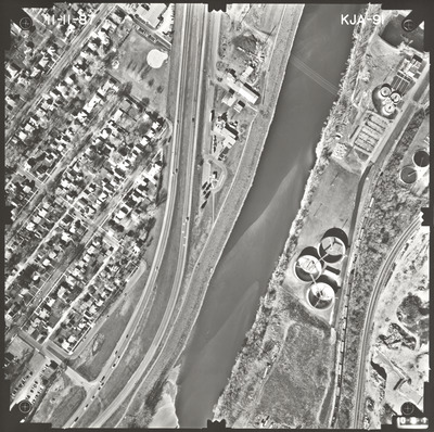
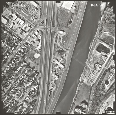
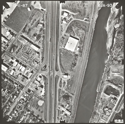
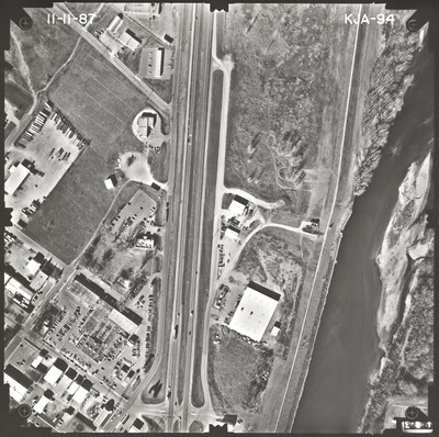
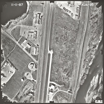
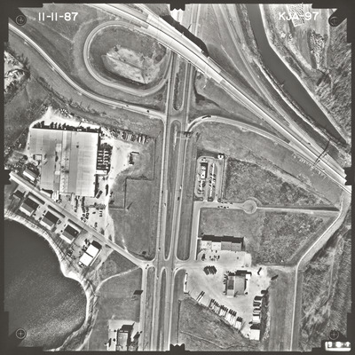
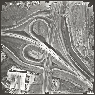
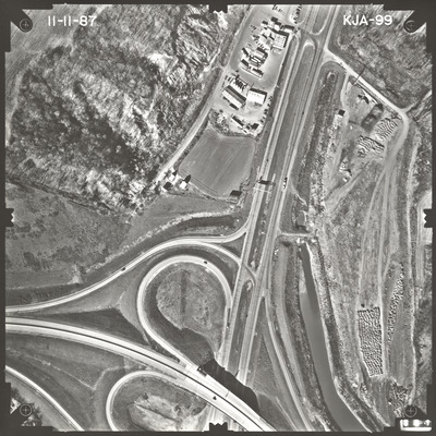
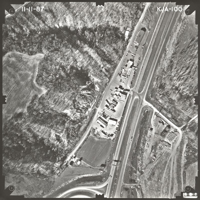
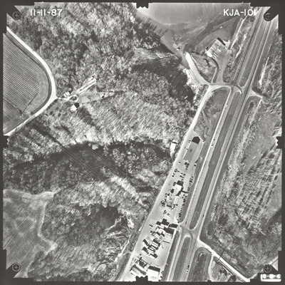
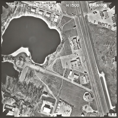
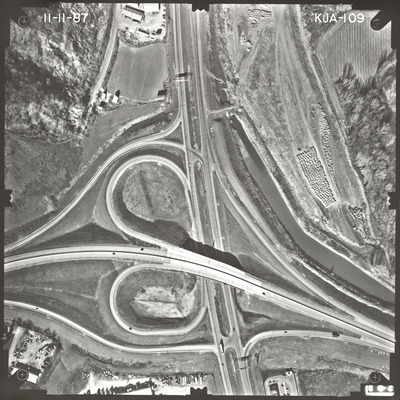
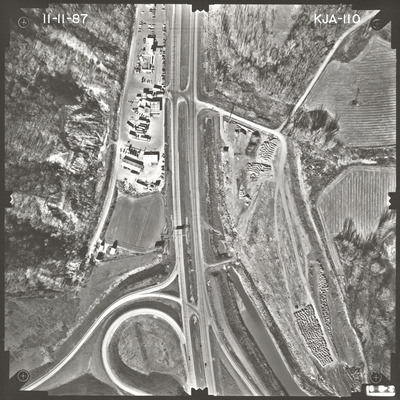
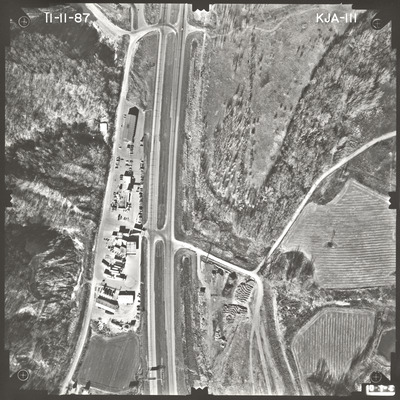
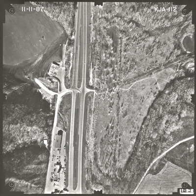
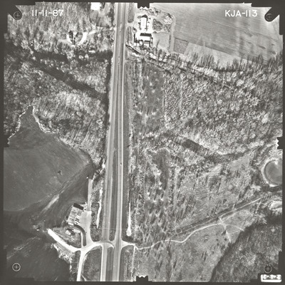
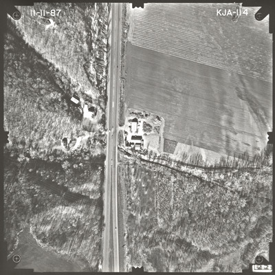
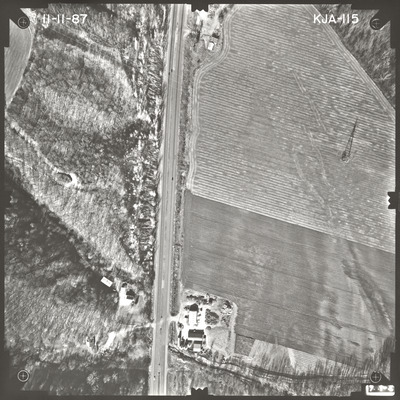
Aerial survey project no. 87F-62 was flown on November 11, 1987. These photos are a verbal scale of 1"=250'. The flight lines provide coverage for highway 169 in Mankato from 1 mile west of the Blue Earth River to 1 mile north of highway 14. ASP No. 87F-62 includes index sheet 1.
Printing is not supported at the primary Gallery Thumbnail page. Please first navigate to a specific Image before printing.


