

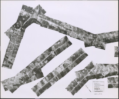
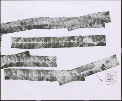
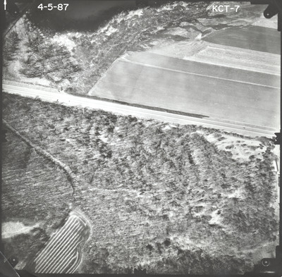
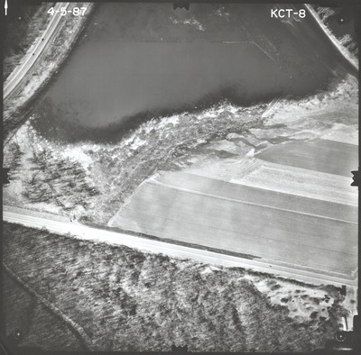
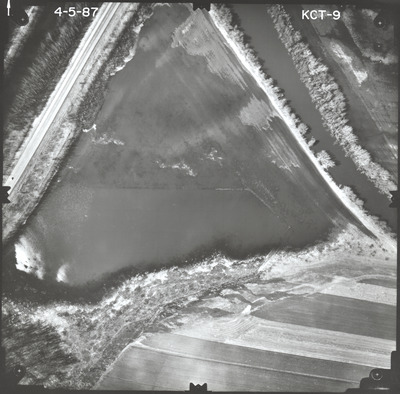
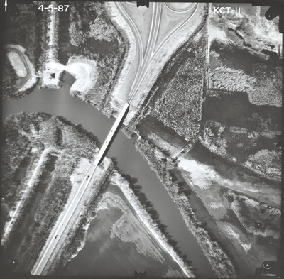
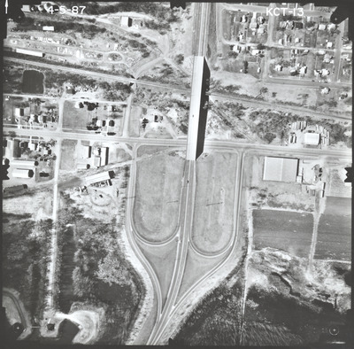
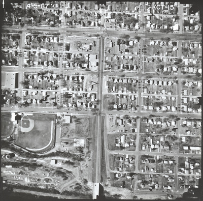
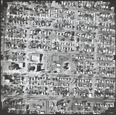
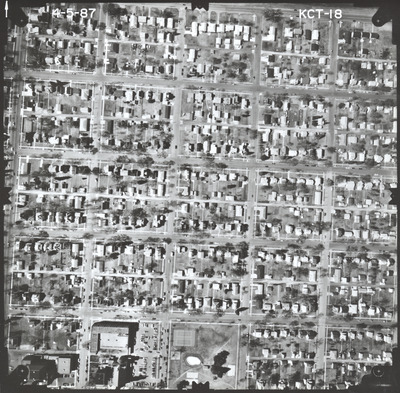
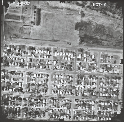
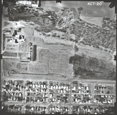
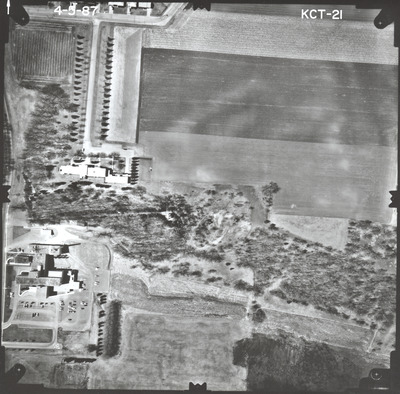
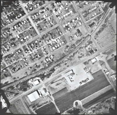
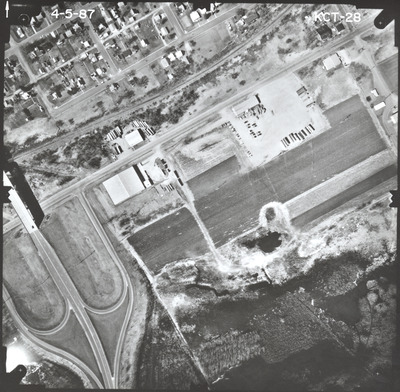
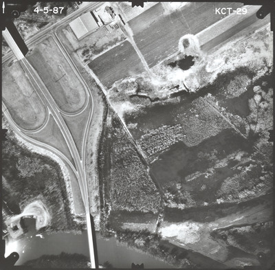
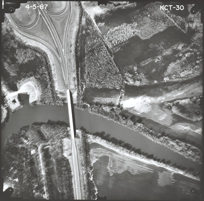
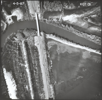
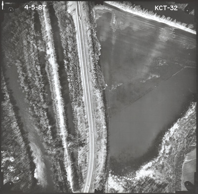
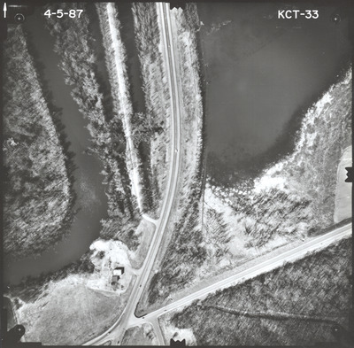
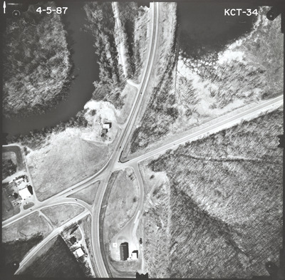
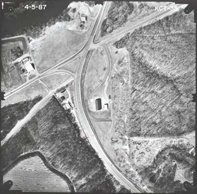
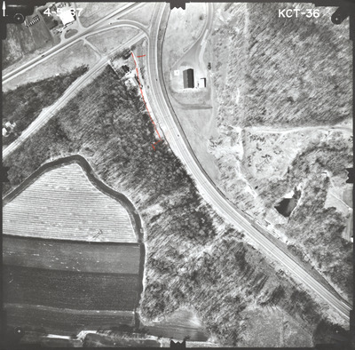
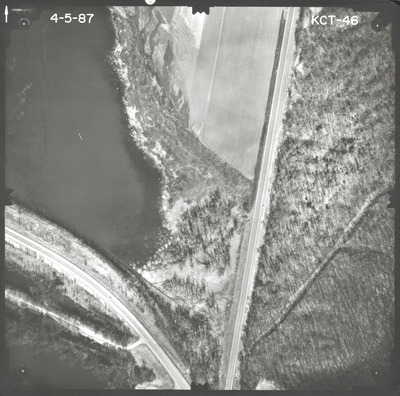
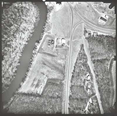
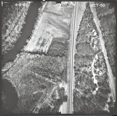
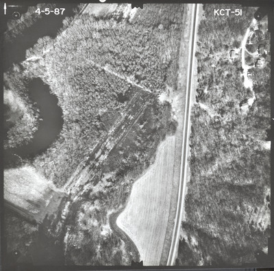
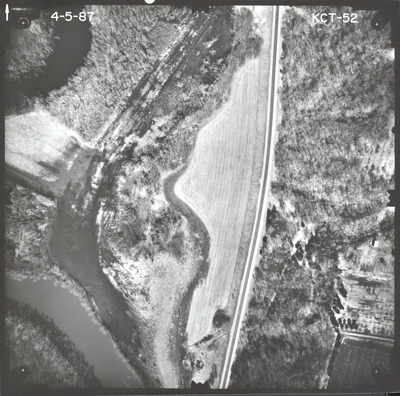
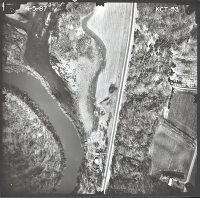
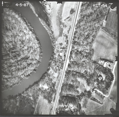
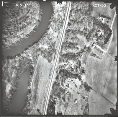
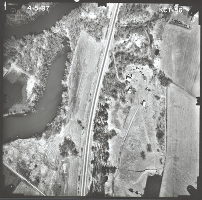
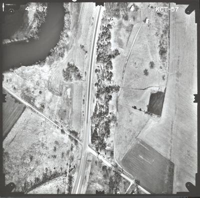
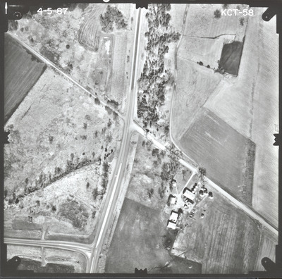
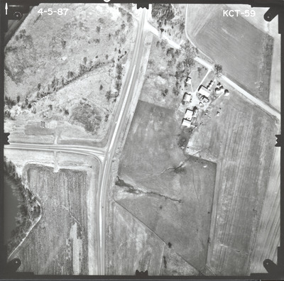
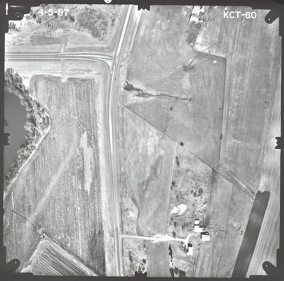
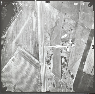
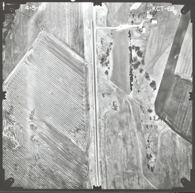
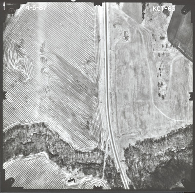
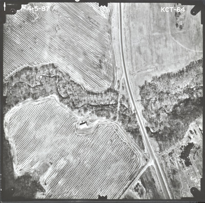
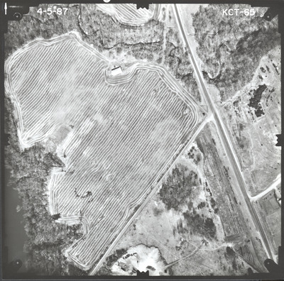
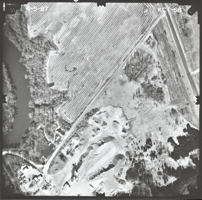
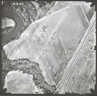
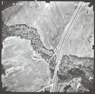
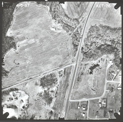
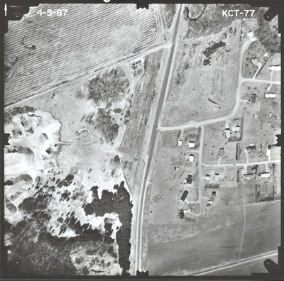
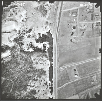
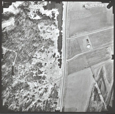
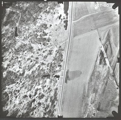
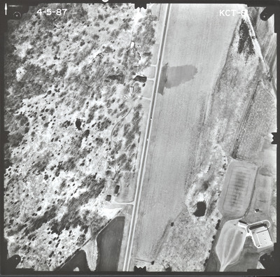
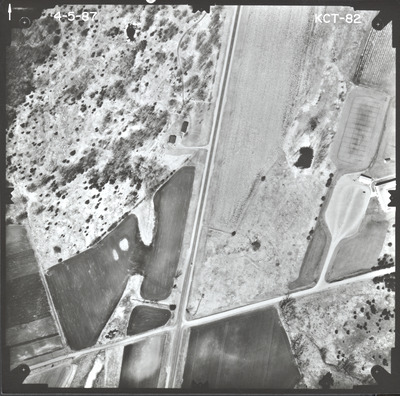
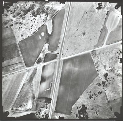
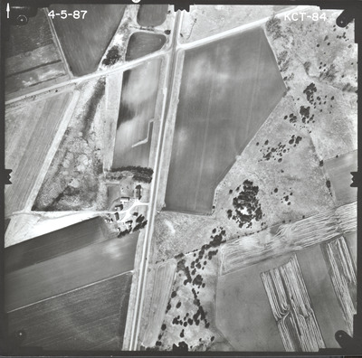
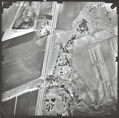
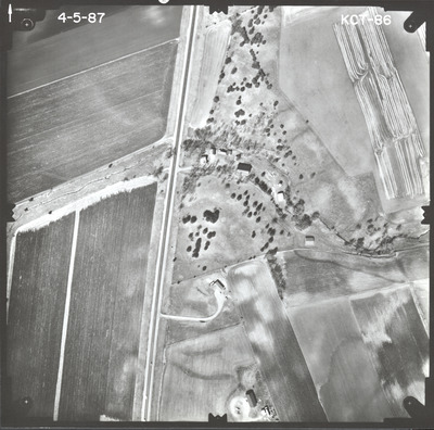
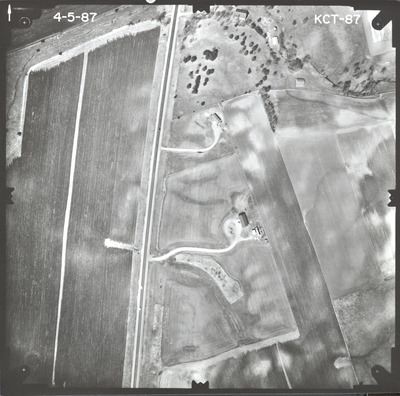
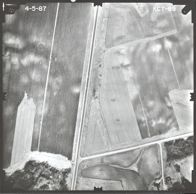
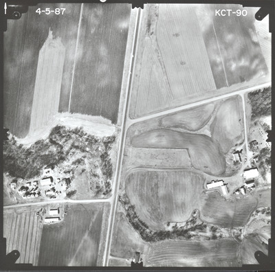
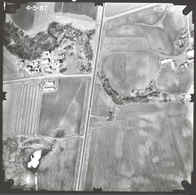
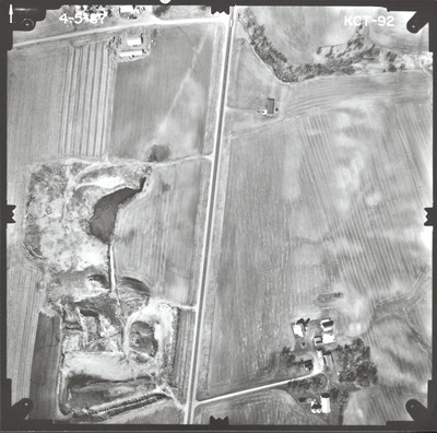
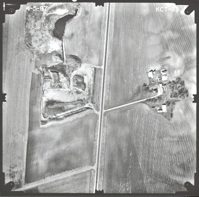
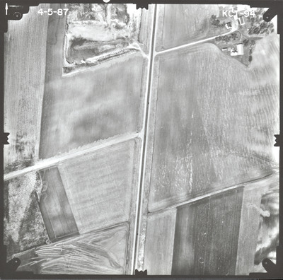
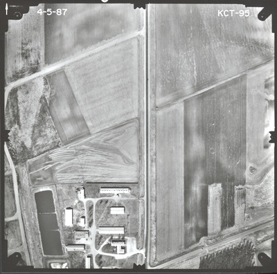
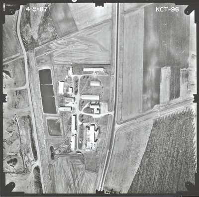
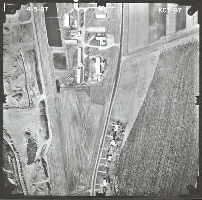
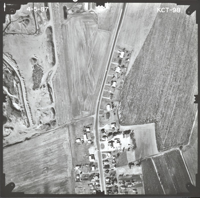
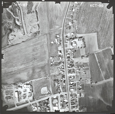
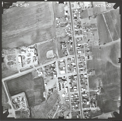
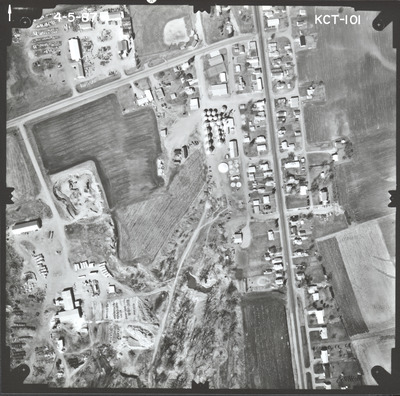
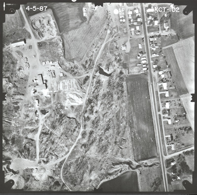
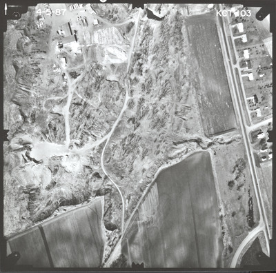
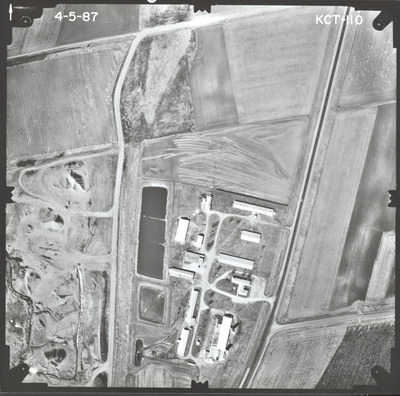
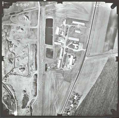
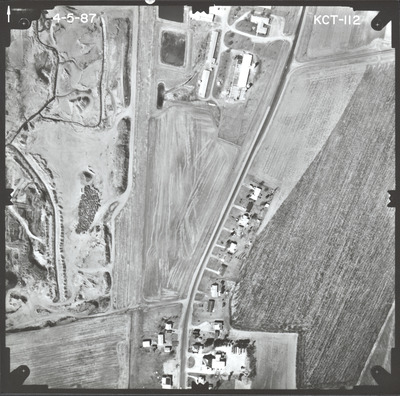
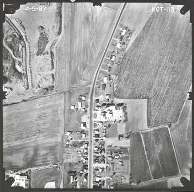
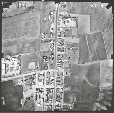
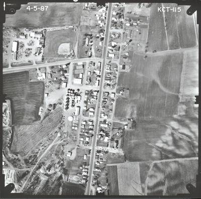
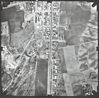
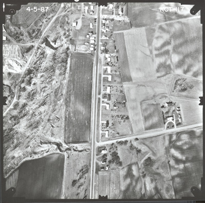
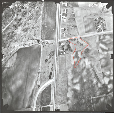
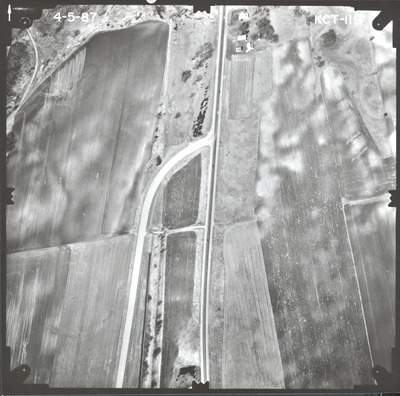
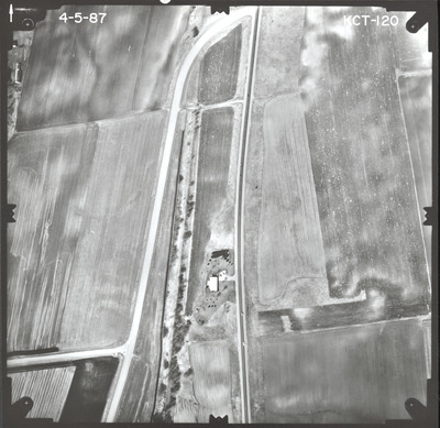
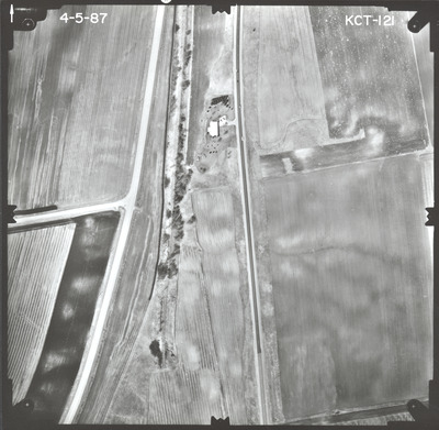
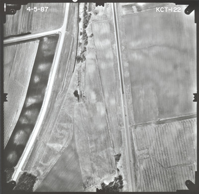
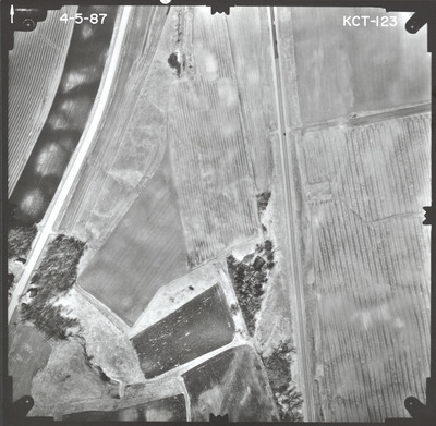
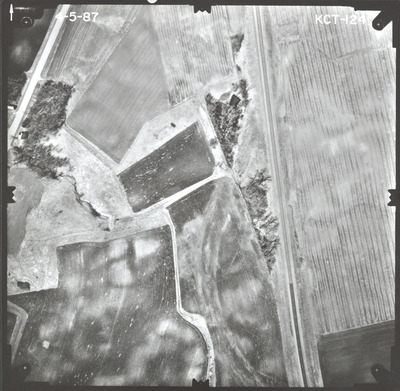
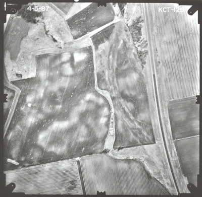
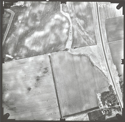
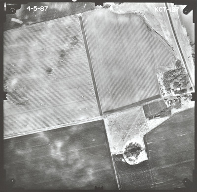
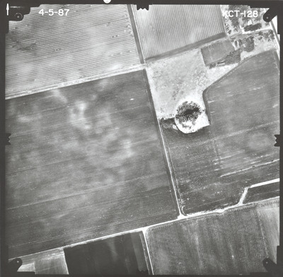
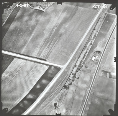
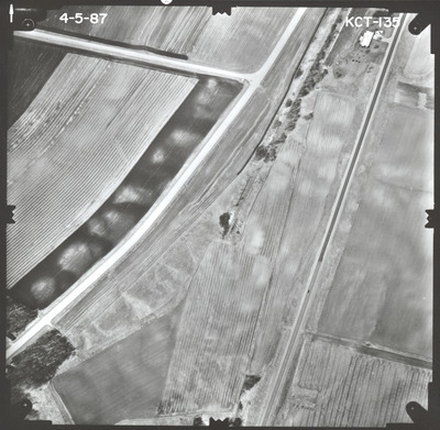
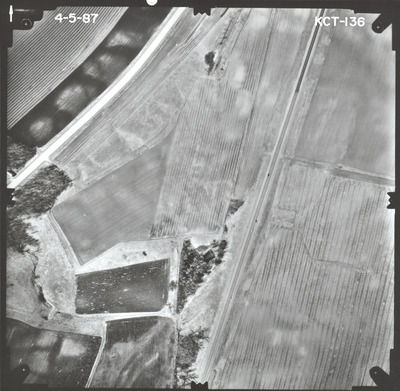
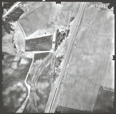
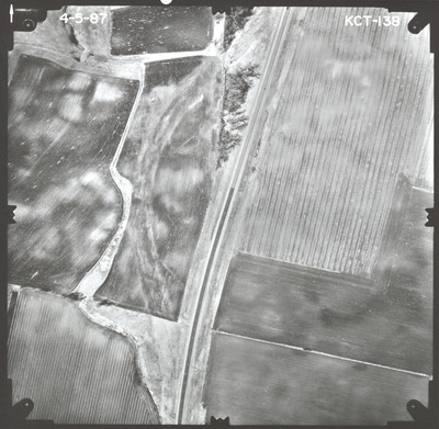
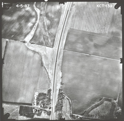
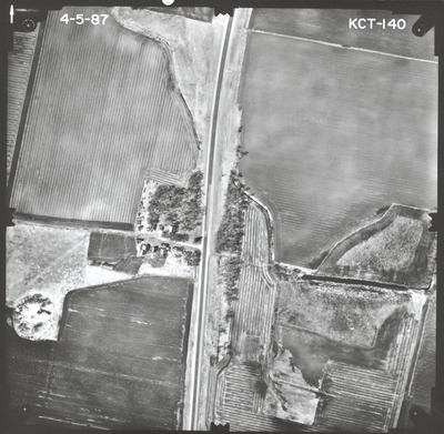
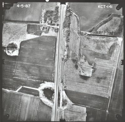
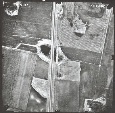
Aerial survey project no. 87S-25 was flown on April 5, 1987. These photos are a verbal scale of 1"=250'. The flight lines provide coverage for highway 14 from the Minnesota River at New Ulm to Lookout Drive (Old T.H. 14) in North Mankato. ASP No. 87S-25 includes index sheets 1 and 2.
Printing is not supported at the primary Gallery Thumbnail page. Please first navigate to a specific Image before printing.


