• Home
  • Search
  • Browse Collections
  • My Account
  • About
  • DC Network Digital Commons Network™
Skip to main content
Cornerstone: A Collection of Scholarly and Creative Works for Minnesota State University, Mankato
  • Home
  • About
  • FAQ
  • My Account

Home > MAPS > MAPS-MNDOT7-AIR-PHOTOS > MNDOT7-1987-87S-30

1987 Aerial Survey Project No. 87S-30 (KBM)

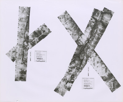
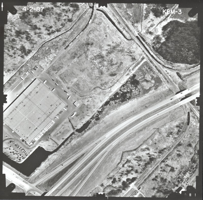
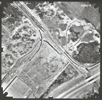
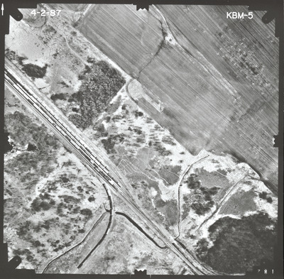
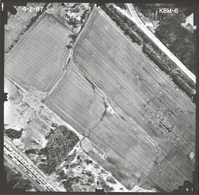
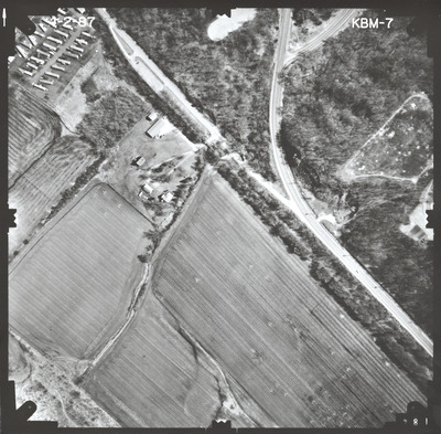
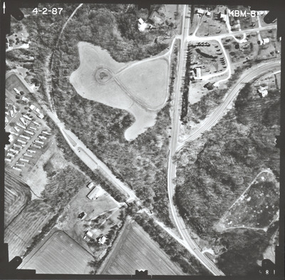
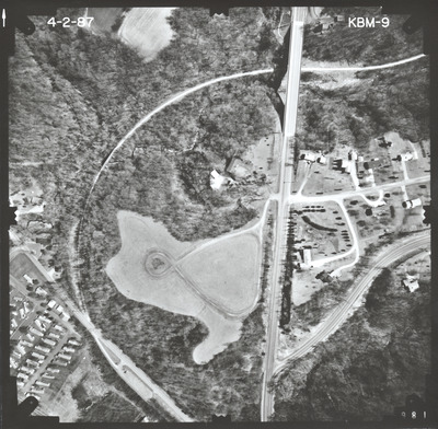
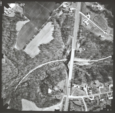
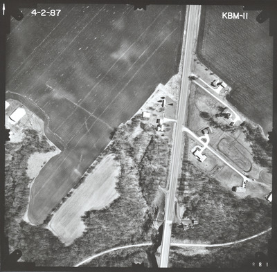
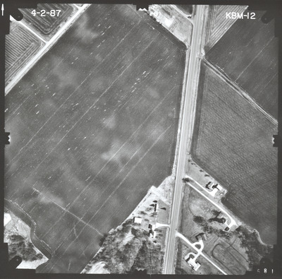
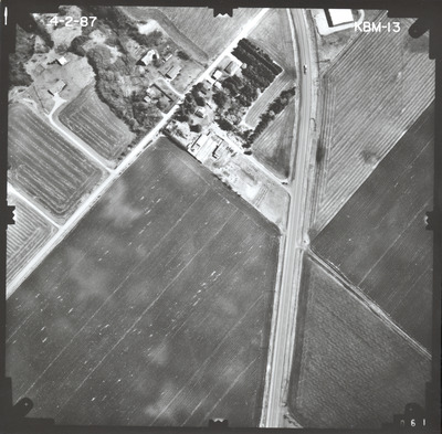
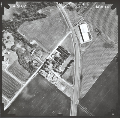
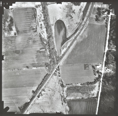
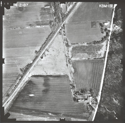
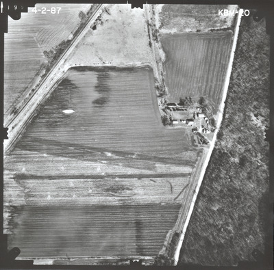
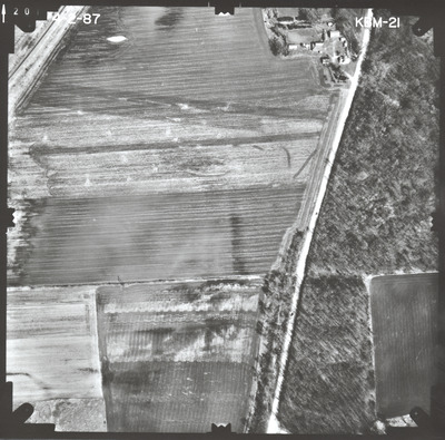
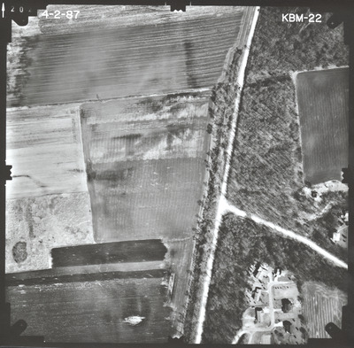
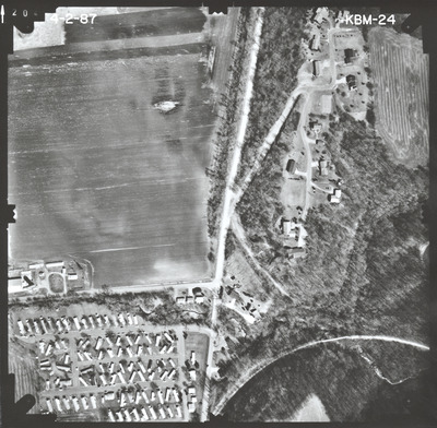
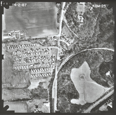
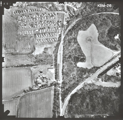
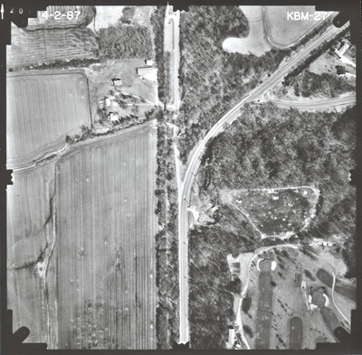
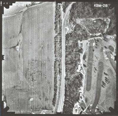
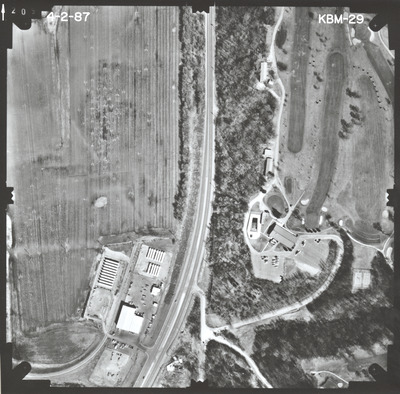
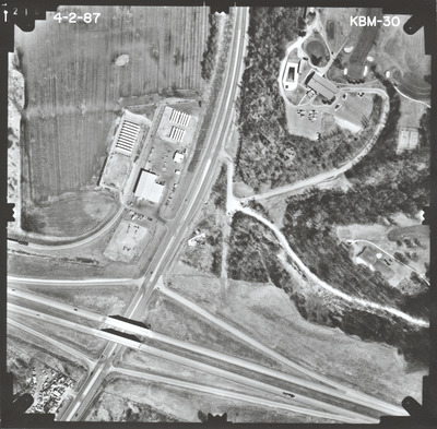
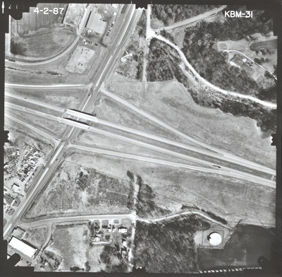
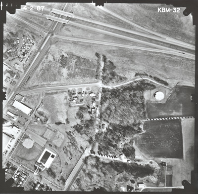
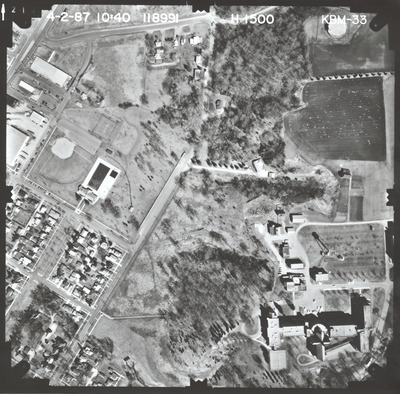
Aerial survey project no. 87S-30 was flown on April 2, 1987. These photos are a verbal scale of 1"=250'. The flight lines provide coverage for highway 22 at Lime Valley Road in Mankato. ASP No. 87S-30 includes index sheet 1. The index also includes ASP No. 87S-27.

Printing is not supported at the primary Gallery Thumbnail page. Please first navigate to a specific Image before printing.

Follow

Switch View to List View Slideshow
 
  • KBM-25 by Mark Hurd Aerial Surveys, Inc. Minneapolis, Minnesota

    KBM-25

  • KBM-26 by Mark Hurd Aerial Surveys, Inc. Minneapolis, Minnesota

    KBM-26

  • KBM-27 by Mark Hurd Aerial Surveys, Inc. Minneapolis, Minnesota

    KBM-27

  • KBM-28 by Mark Hurd Aerial Surveys, Inc. Minneapolis, Minnesota

    KBM-28

  • KBM-29 by Mark Hurd Aerial Surveys, Inc. Minneapolis, Minnesota

    KBM-29

  • KBM-30 by Mark Hurd Aerial Surveys, Inc. Minneapolis, Minnesota

    KBM-30

  • KBM-31 by Mark Hurd Aerial Surveys, Inc. Minneapolis, Minnesota

    KBM-31

  • KBM-32 by Mark Hurd Aerial Surveys, Inc. Minneapolis, Minnesota

    KBM-32

  • KBM-33 by Mark Hurd Aerial Surveys, Inc. Minneapolis, Minnesota

    KBM-33

 
  • 1
  • 2


Search

Advanced Search

  • Notify me via email or RSS

Author Corner

  • All Authors
  • Author FAQ
  • Submit Research

University Resources

  • Digital Exhibits
  • ARCH: University Archives Digital Collections
  • Library Services
  • Minnesota State University, Mankato
  • Contact Us
Minnesota State University Mankato Minnesota State
 
Elsevier - Digital Commons

Home | About | FAQ | My Account | Accessibility Statement

Privacy Copyright