

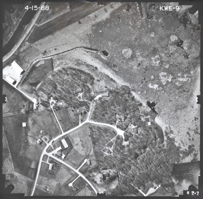
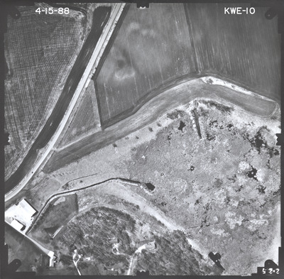
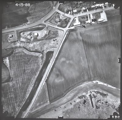
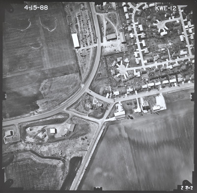
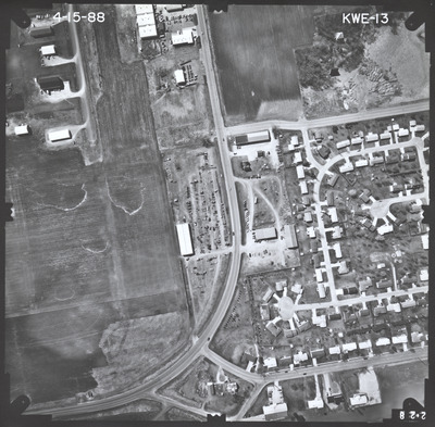
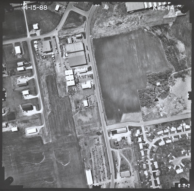
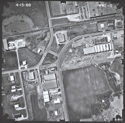
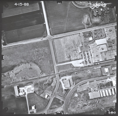
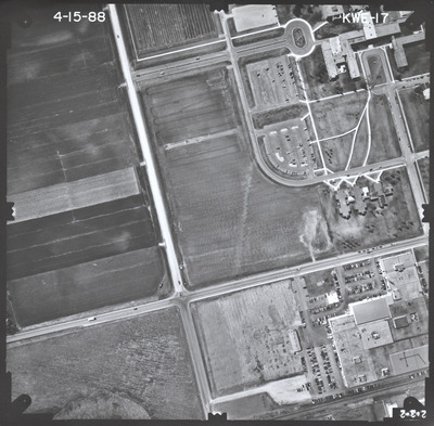
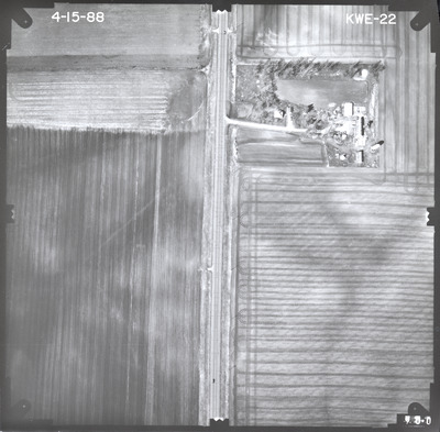
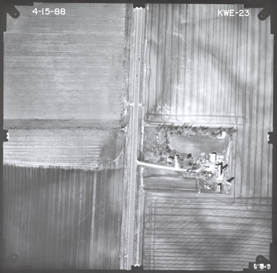
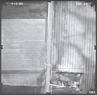
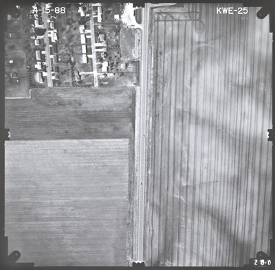
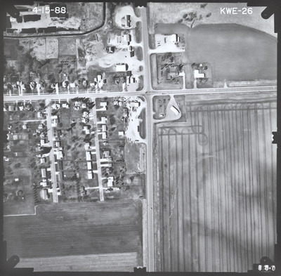
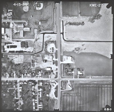
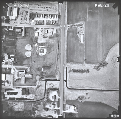
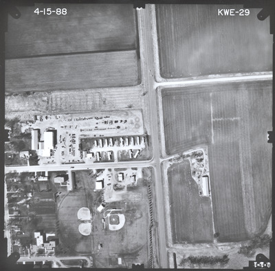
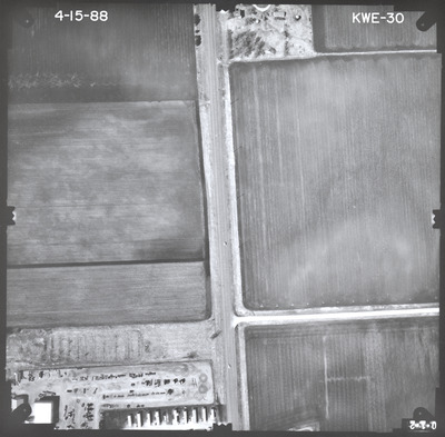
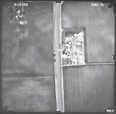
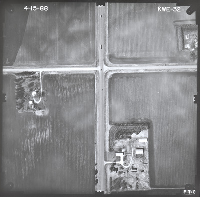
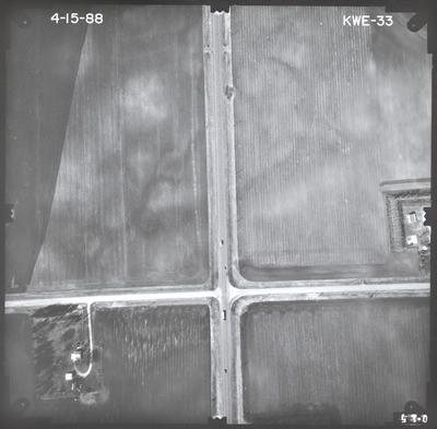
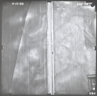
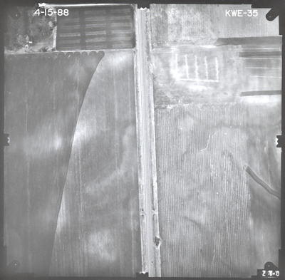
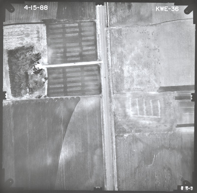
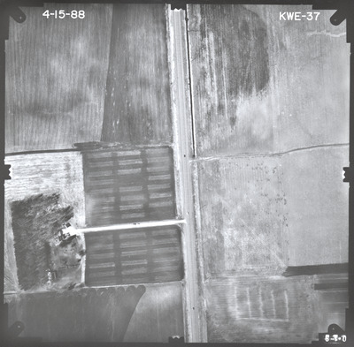
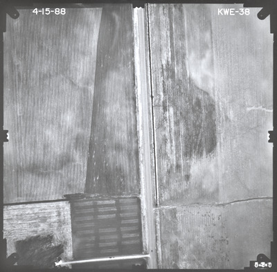
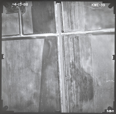
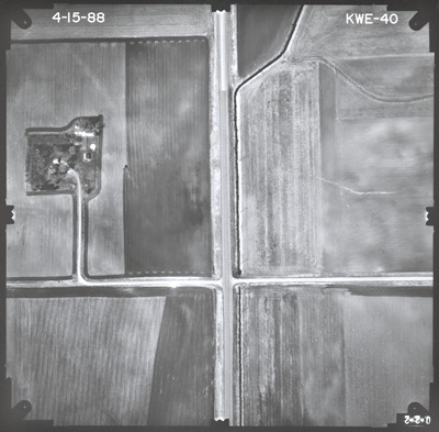
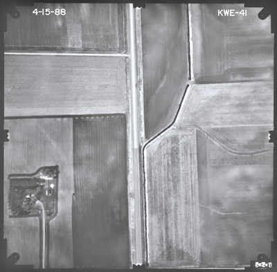
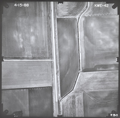
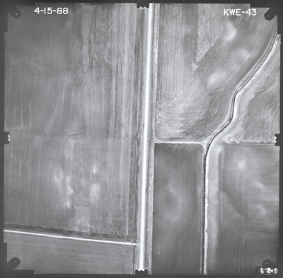
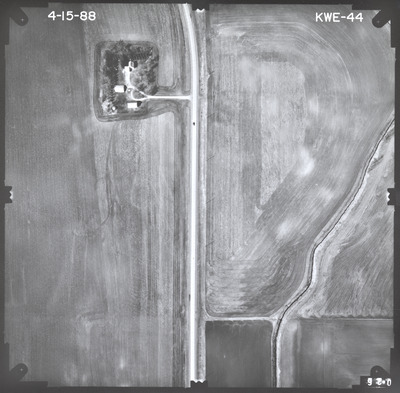
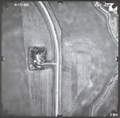
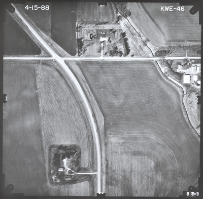
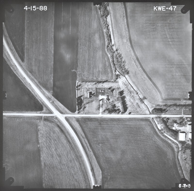
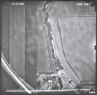
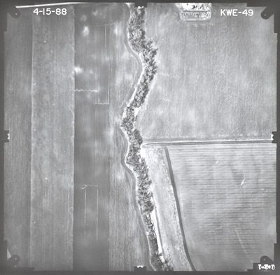
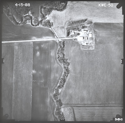
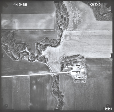
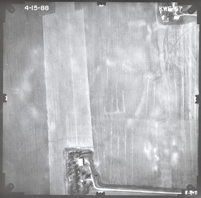
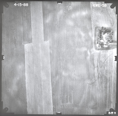
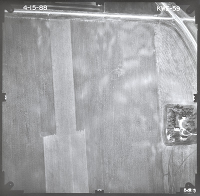
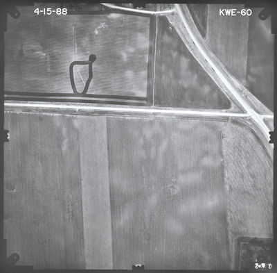
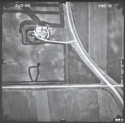
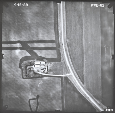
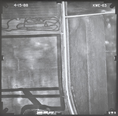
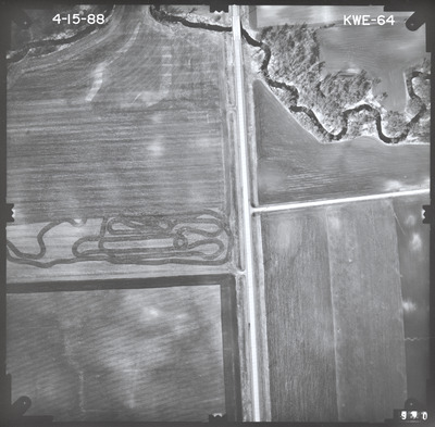
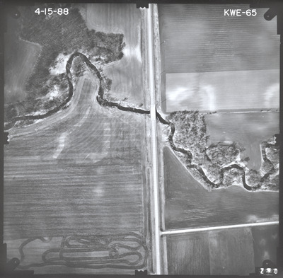
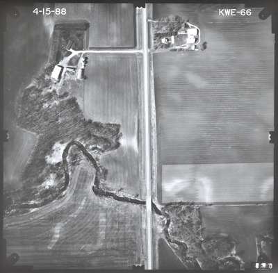
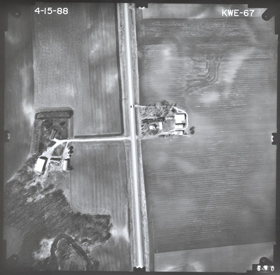
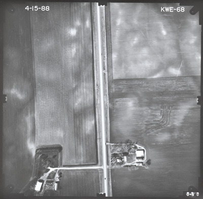
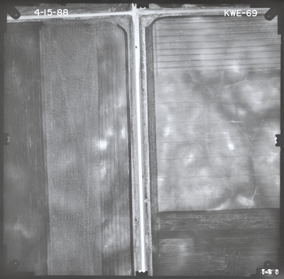
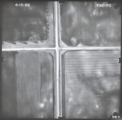
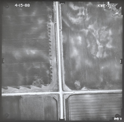
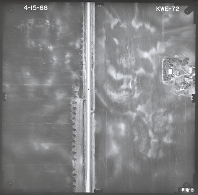
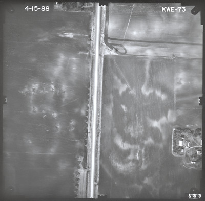
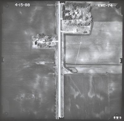
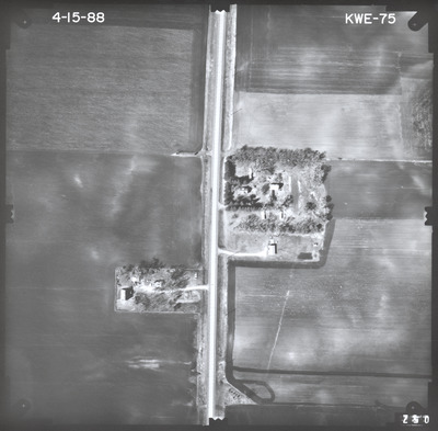
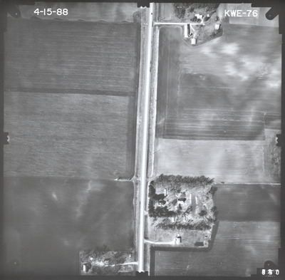
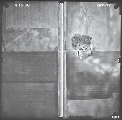
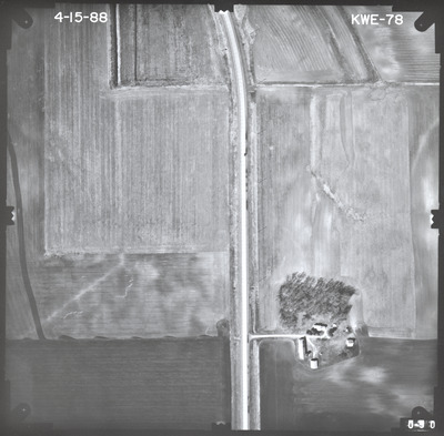
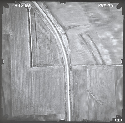
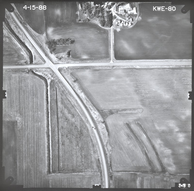
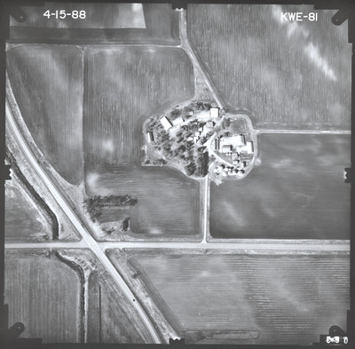
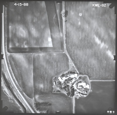
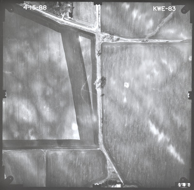
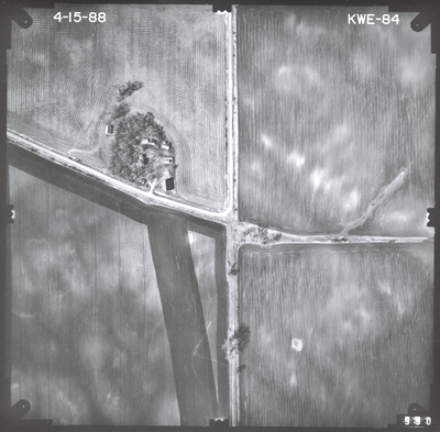
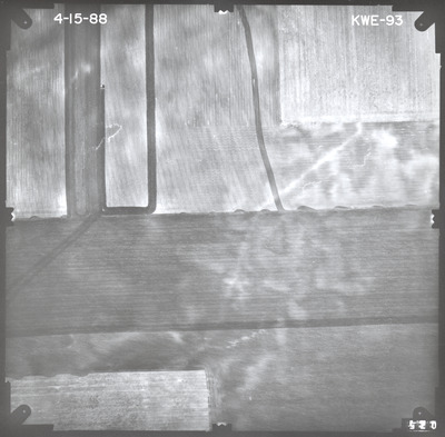
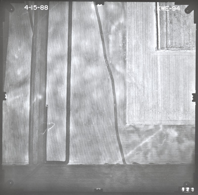
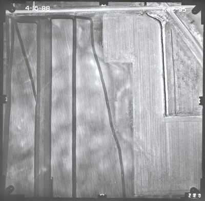
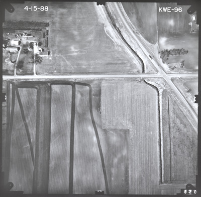
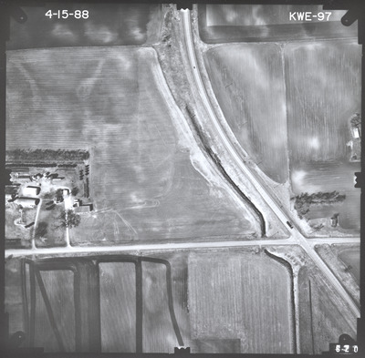
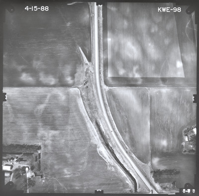
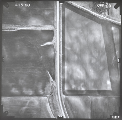
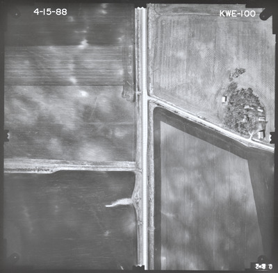
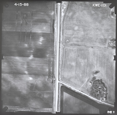
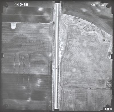
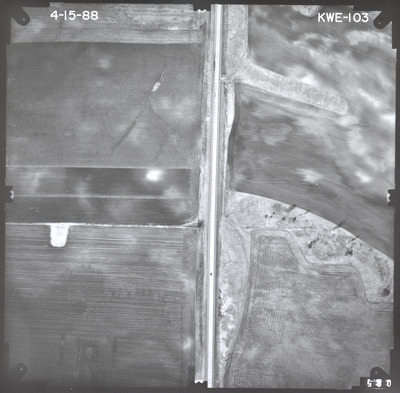
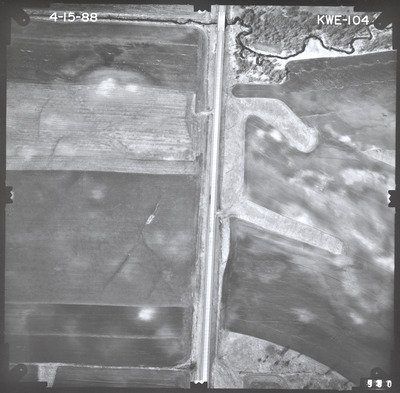
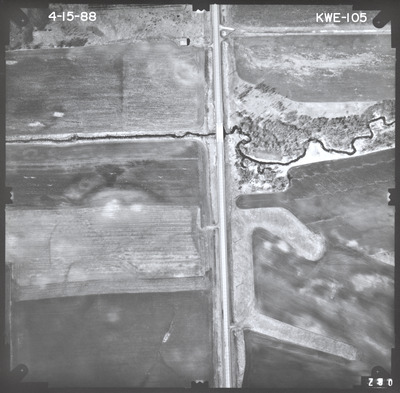
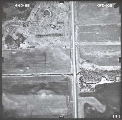
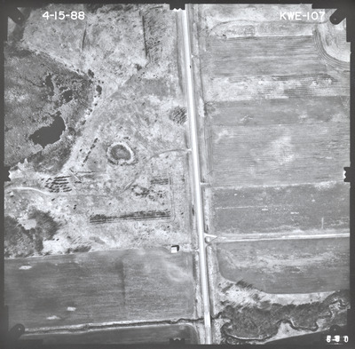
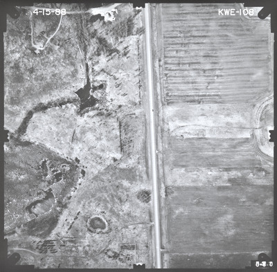
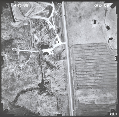
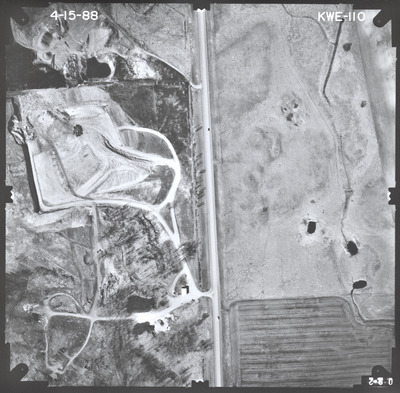
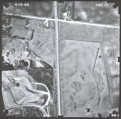
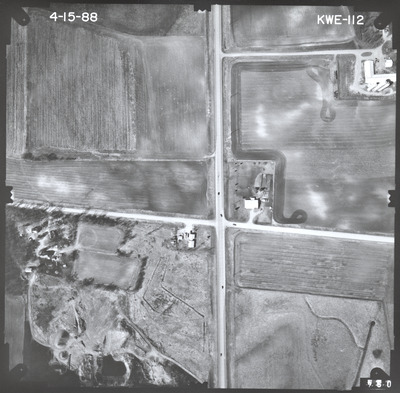
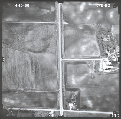
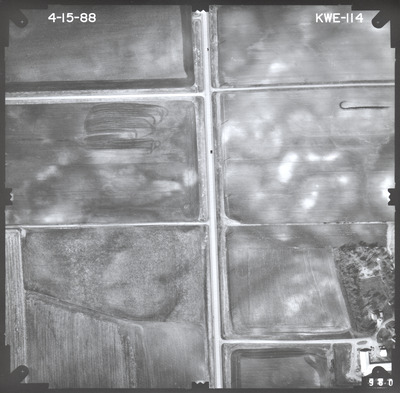
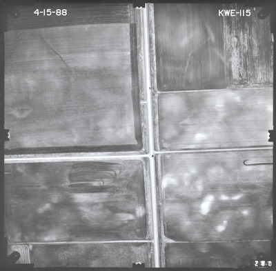
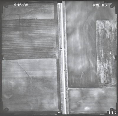
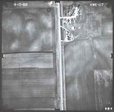
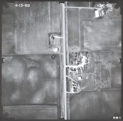
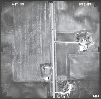
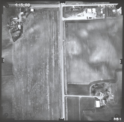
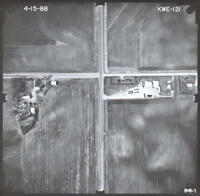
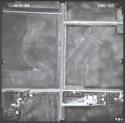
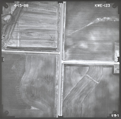
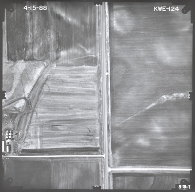
Aerial survey project no. 88S-10 was flown on April 15, 1988. These photos are a verbal scale of 1"=250'. The flight lines follow an east-west and north-south direction. The flight lines provide coverage for highway 13 from the junction with highway 30 in New Richland to the junction with highway 14.


