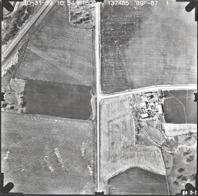
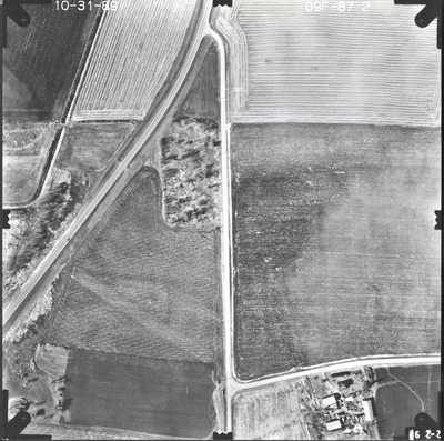
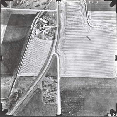
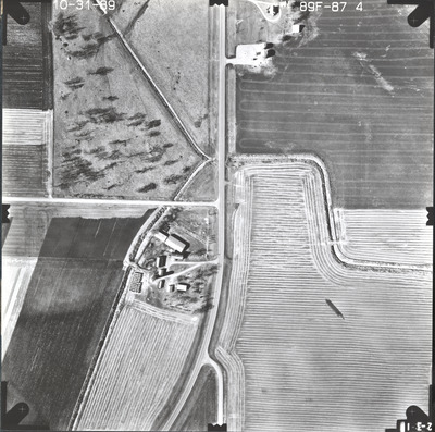
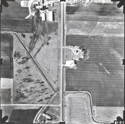
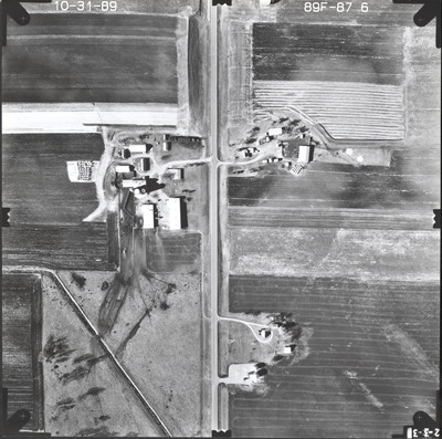
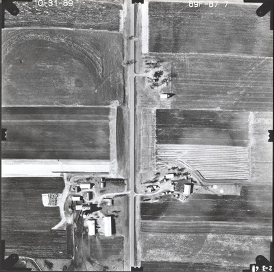
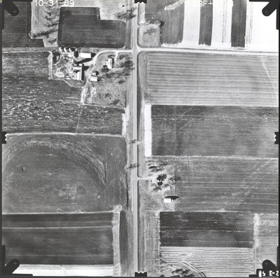
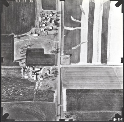
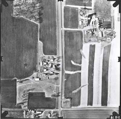
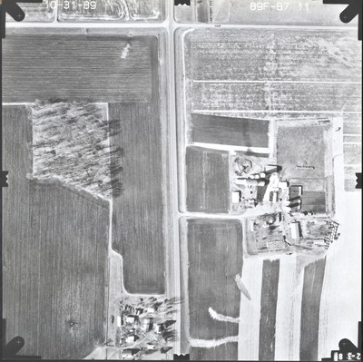
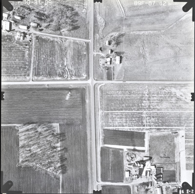
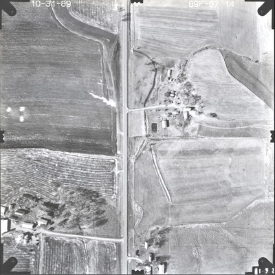
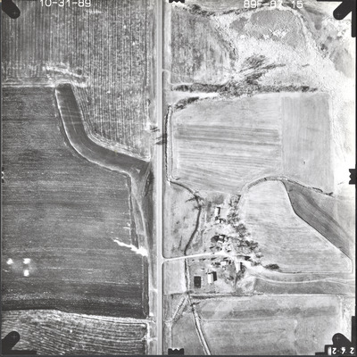
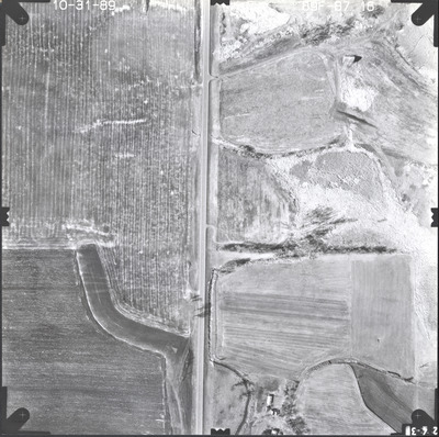
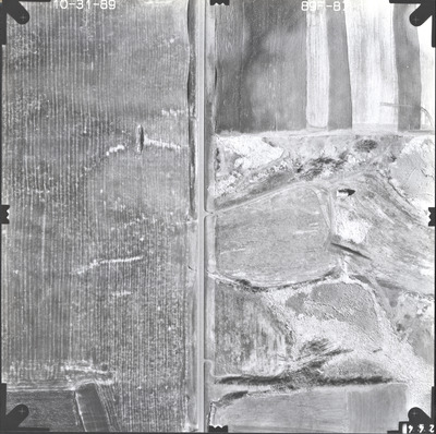
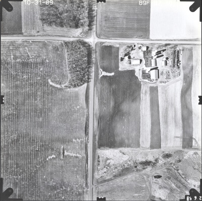
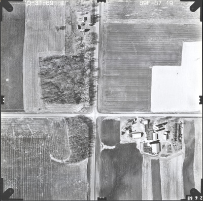
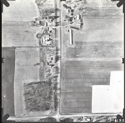
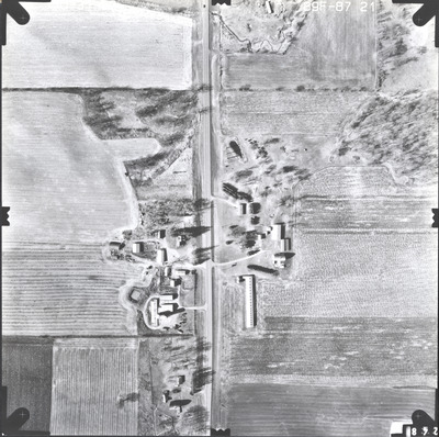
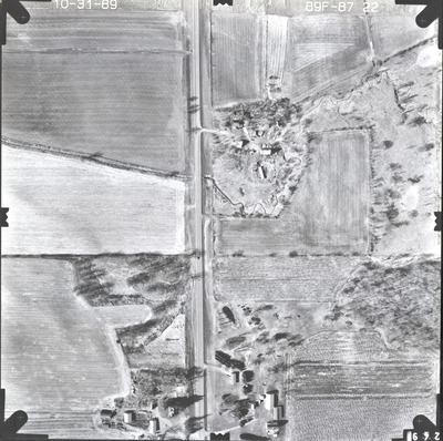
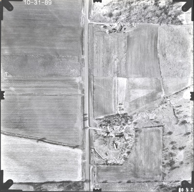
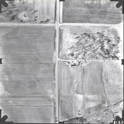
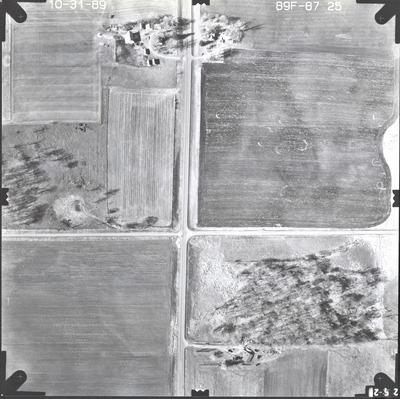
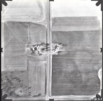
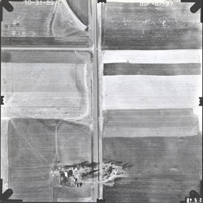
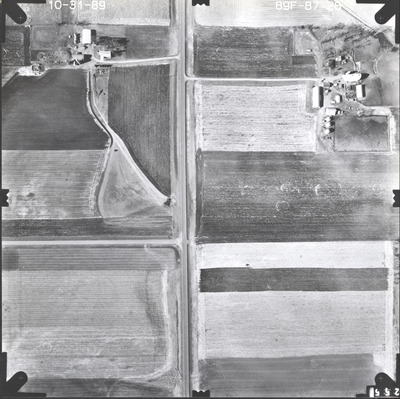
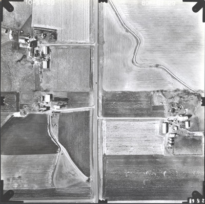
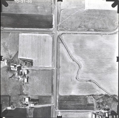
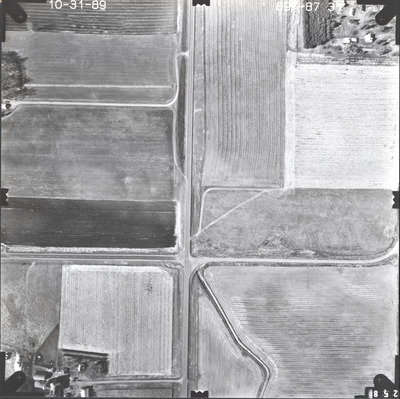
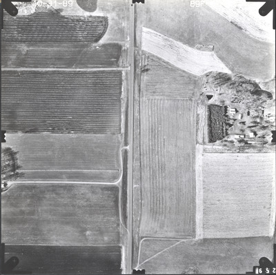
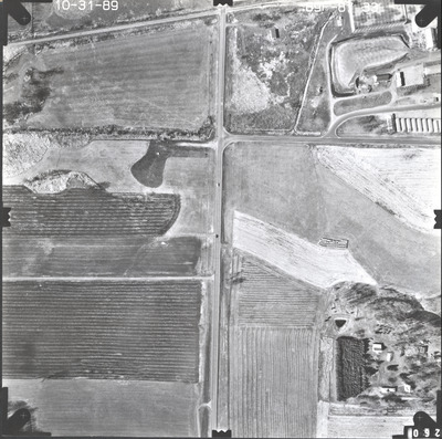
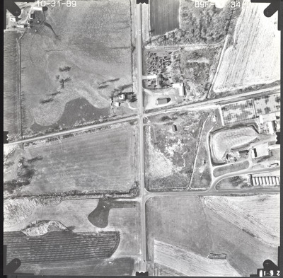
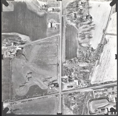
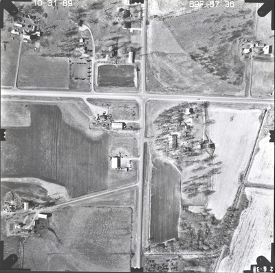
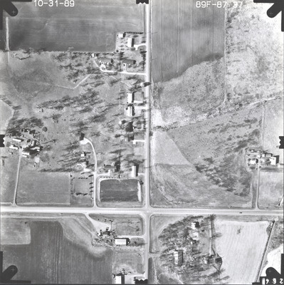
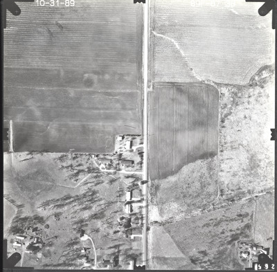
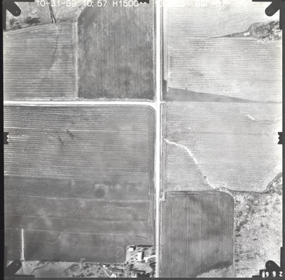
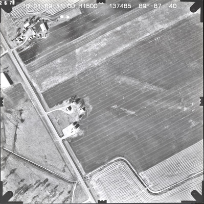
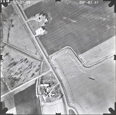
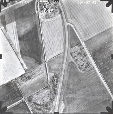
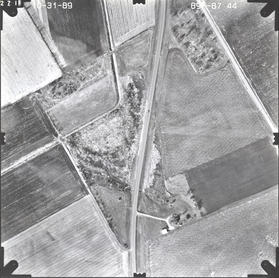
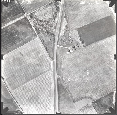
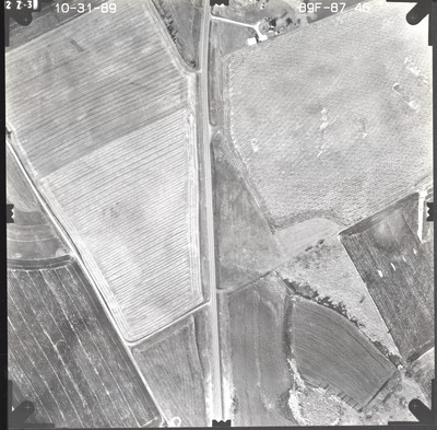
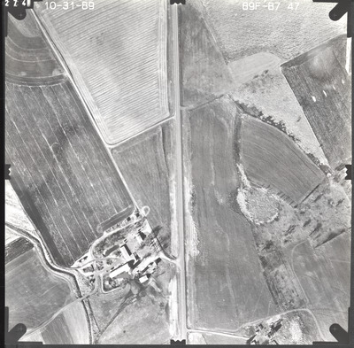
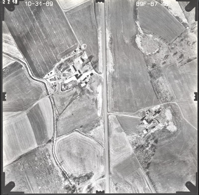
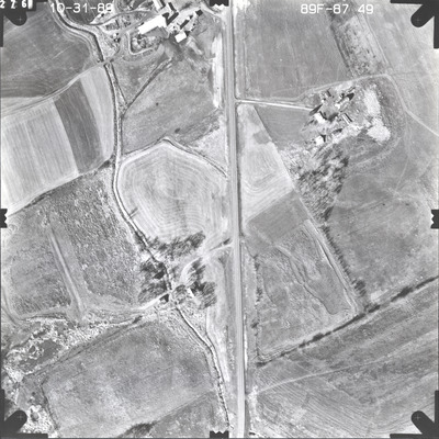
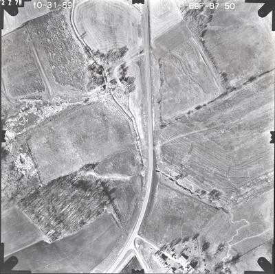
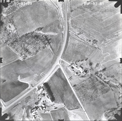
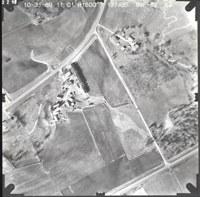
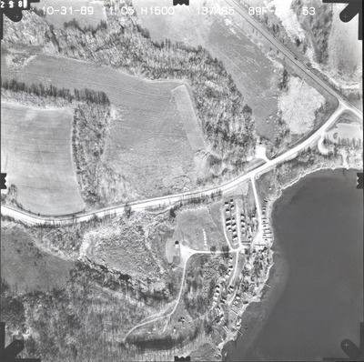
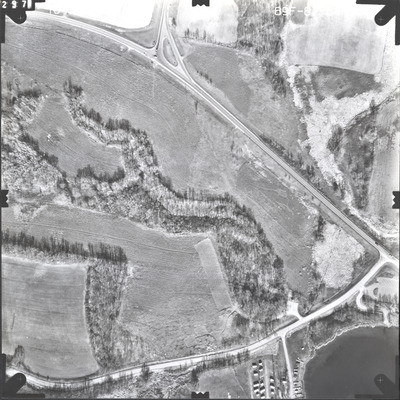
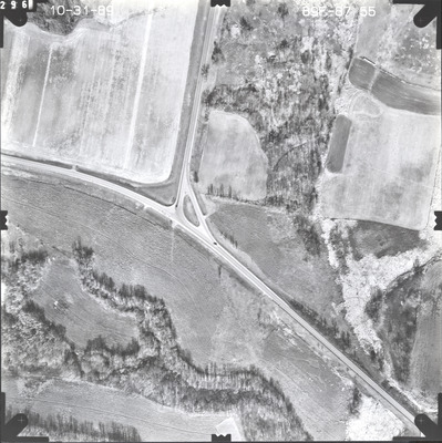
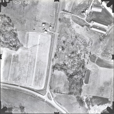
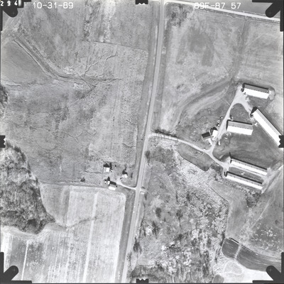
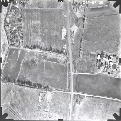
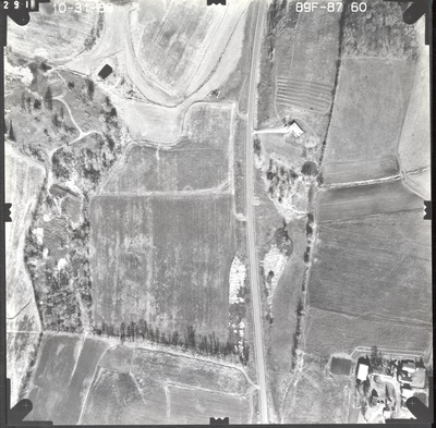
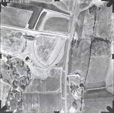
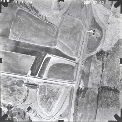
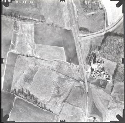
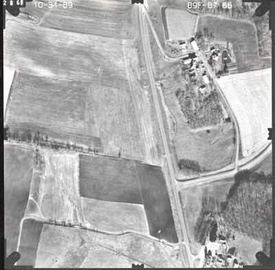
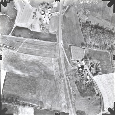
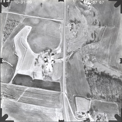
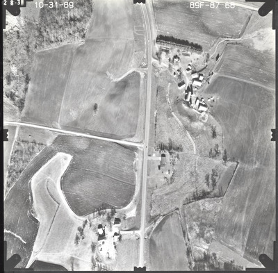
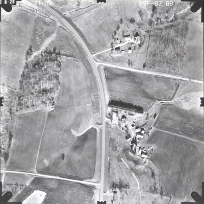
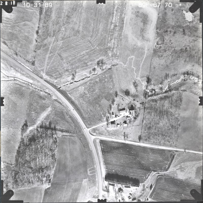
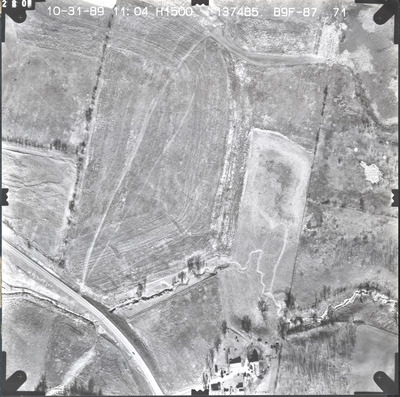
Aerial survey project no. 89F-87 was flown on October 31, 1989. These photos are a verbal scale of 1"=250'. The flight lines provide coverage for highway 21 from Montgomery to the junction with highway 99.


Aerial survey project no. 89F-87 was flown on October 31, 1989. These photos are a verbal scale of 1"=250'. The flight lines provide coverage for highway 21 from Montgomery to the junction with highway 99.


