• Home
  • Search
  • Browse Collections
  • My Account
  • About
  • DC Network Digital Commons Network™
Skip to main content
Cornerstone: A Collection of Scholarly and Creative Works for Minnesota State University, Mankato
  • Home
  • About
  • FAQ
  • My Account

Home > MAPS > MAPS-MNDOT7-AIR-PHOTOS > MNDOT7-1989-89S-23

1989 Aerial Survey Project No. 89S-23 (LFV)

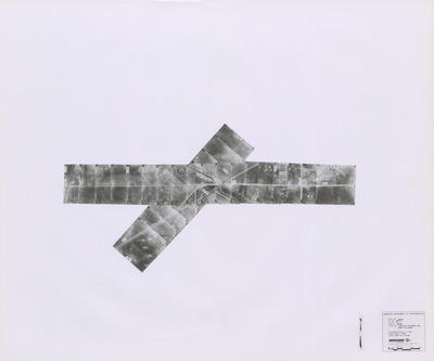
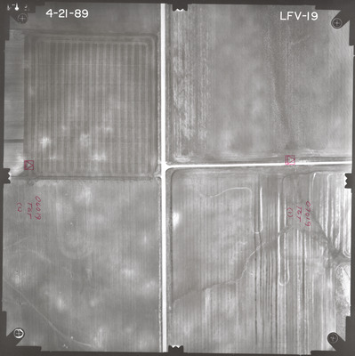
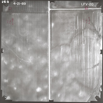
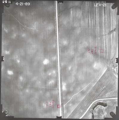
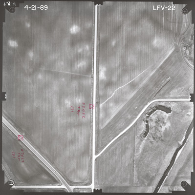
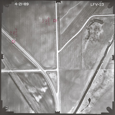
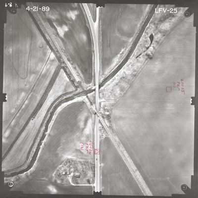
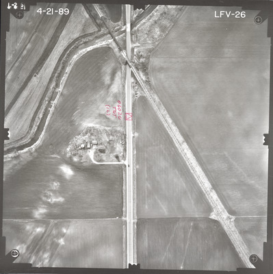
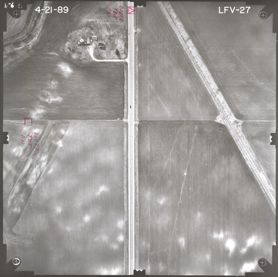
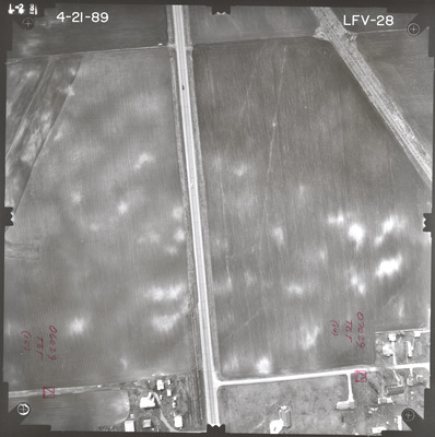
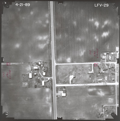
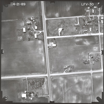
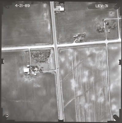
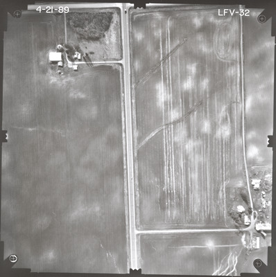
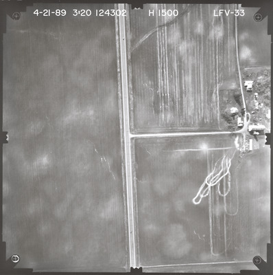
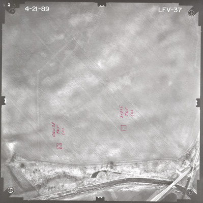
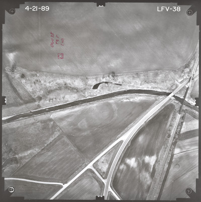
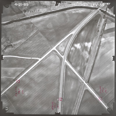
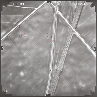
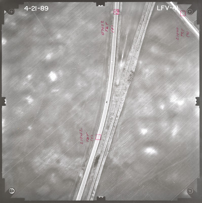
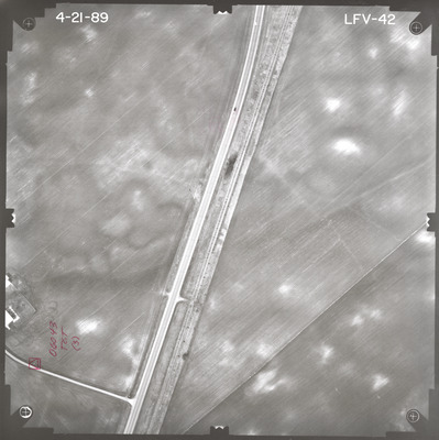
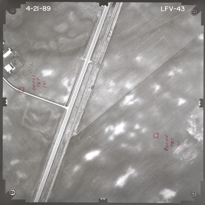
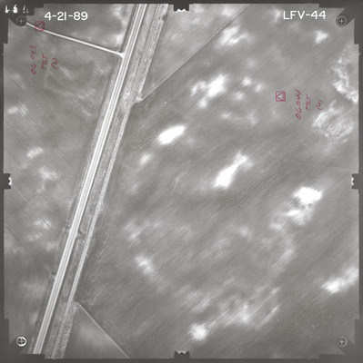
Aerial survey project no. 89S-23 was flown on April 21, 1989. These photos are a verbal scale of 1"=250'. The flight lines provide coverage for highway 14 from 0.28 miles west of Cobden over Sleepy Eye Creek. ASP No. 89S-23 includes index sheet 1.

Printing is not supported at the primary Gallery Thumbnail page. Please first navigate to a specific Image before printing.

Follow

Switch View to List View Slideshow
 
  • LFV-36 by Mark Hurd Aerial Surveys, Inc. Minneapolis, Minnesota

    LFV-36

  • LFV-37 by Mark Hurd Aerial Surveys, Inc. Minneapolis, Minnesota

    LFV-37

  • LFV-38 by Mark Hurd Aerial Surveys, Inc. Minneapolis, Minnesota

    LFV-38

  • LFV-39 by Mark Hurd Aerial Surveys, Inc. Minneapolis, Minnesota

    LFV-39

  • LFV-40 by Mark Hurd Aerial Surveys, Inc. Minneapolis, Minnesota

    LFV-40

  • LFV-41 by Mark Hurd Aerial Surveys, Inc. Minneapolis, Minnesota

    LFV-41

  • LFV-42 by Mark Hurd Aerial Surveys, Inc. Minneapolis, Minnesota

    LFV-42

  • LFV-43 by Mark Hurd Aerial Surveys, Inc. Minneapolis, Minnesota

    LFV-43

  • LFV-44 by Mark Hurd Aerial Surveys, Inc. Minneapolis, Minnesota

    LFV-44

 
  • 1
  • 2


Search

Advanced Search

  • Notify me via email or RSS

Author Corner

  • All Authors
  • Author FAQ
  • Submit Research

University Resources

  • Digital Exhibits
  • ARCH: University Archives Digital Collections
  • Library Services
  • Minnesota State University, Mankato
  • Contact Us
Minnesota State University Mankato Minnesota State
 
Elsevier - Digital Commons

Home | About | FAQ | My Account | Accessibility Statement

Privacy Copyright