• Home
  • Search
  • Browse Collections
  • My Account
  • About
  • DC Network Digital Commons Network™
Skip to main content
Cornerstone: A Collection of Scholarly and Creative Works for Minnesota State University, Mankato
  • Home
  • About
  • FAQ
  • My Account

Home > MAPS > MAPS-MNDOT7-AIR-PHOTOS > MNDOT7-1989-89S-24

1989 Aerial Survey Project No. 89S-24 (LFT)

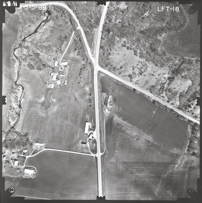
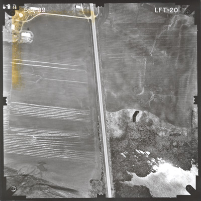
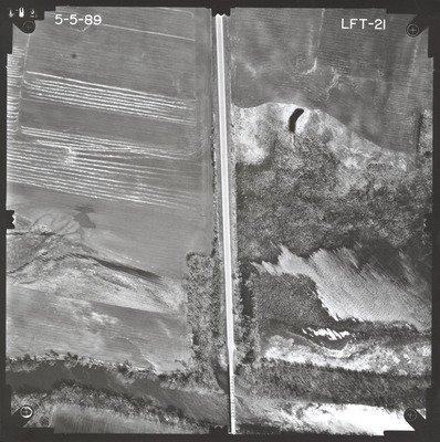
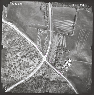
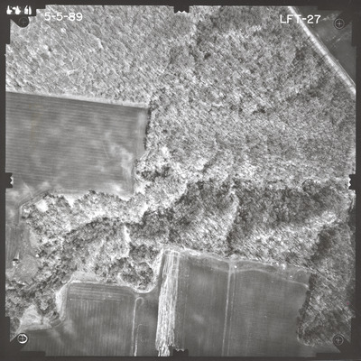
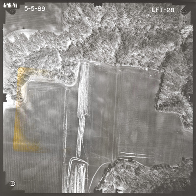
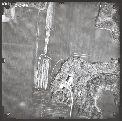
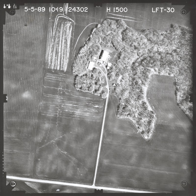
Aerial survey project no. 89S-24 was flown on May 5, 1989. These photos are a verbal scale of 1"=250'. The flight line provides coverage for highway 4 over the Minnesota River 6.6 miles south of Fairfax. ASP No. 89S-24 includes index sheet 1.

Printing is not supported at the primary Gallery Thumbnail page. Please first navigate to a specific Image before printing.

Follow

Switch View to List View Slideshow
 
  • 89S-24 Index Sheet 1 by Mark Hurd Aerial Surveys, Inc. Minneapolis, Minnesota

    89S-24 Index Sheet 1

  • LFT-18 by Mark Hurd Aerial Surveys, Inc. Minneapolis, Minnesota

    LFT-18

  • LFT-20 by Mark Hurd Aerial Surveys, Inc. Minneapolis, Minnesota

    LFT-20

  • LFT-21 by Mark Hurd Aerial Surveys, Inc. Minneapolis, Minnesota

    LFT-21

  • LFT-24 by Mark Hurd Aerial Surveys, Inc. Minneapolis, Minnesota

    LFT-24

  • LFT-27 by Mark Hurd Aerial Surveys, Inc. Minneapolis, Minnesota

    LFT-27

  • LFT-28 by Mark Hurd Aerial Surveys, Inc. Minneapolis, Minnesota

    LFT-28

  • LFT-29 by Mark Hurd Aerial Surveys, Inc. Minneapolis, Minnesota

    LFT-29

  • LFT-30 by Mark Hurd Aerial Surveys, Inc. Minneapolis, Minnesota

    LFT-30


Search

Advanced Search

  • Notify me via email or RSS

Author Corner

  • All Authors
  • Author FAQ
  • Submit Research

University Resources

  • Digital Exhibits
  • ARCH: University Archives Digital Collections
  • Library Services
  • Minnesota State University, Mankato
  • Contact Us
Minnesota State University Mankato Minnesota State
 
Elsevier - Digital Commons

Home | About | FAQ | My Account | Accessibility Statement

Privacy Copyright