• Home
  • Search
  • Browse Collections
  • My Account
  • About
  • DC Network Digital Commons Network™
Skip to main content
Cornerstone: A Collection of Scholarly and Creative Works for Minnesota State University, Mankato
  • Home
  • About
  • FAQ
  • My Account

Home > MAPS > MAPS-MNDOT7-AIR-PHOTOS > MNDOT7-1989-89S-30

1989 Aerial Survey Project No. 89S-30 (LGU)

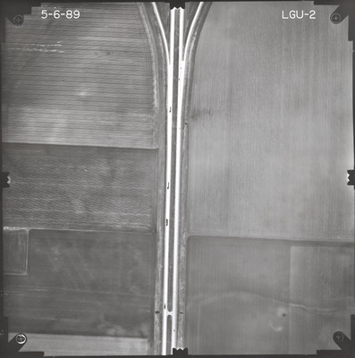
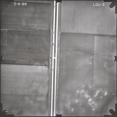
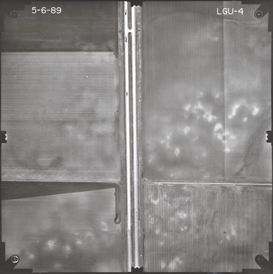
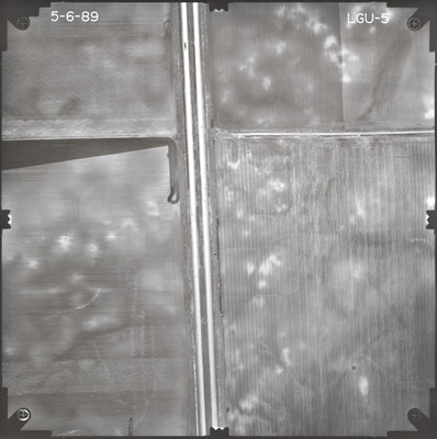
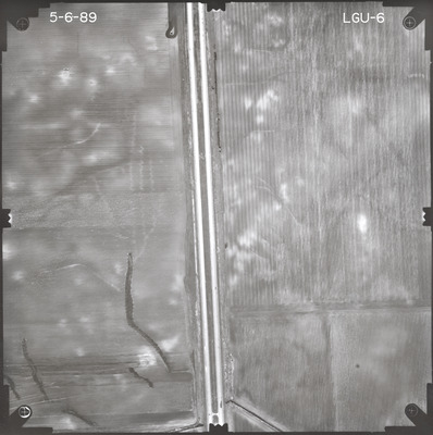
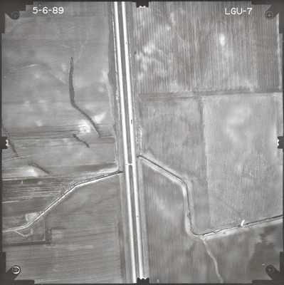
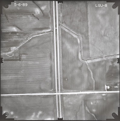
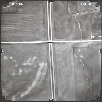
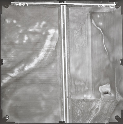
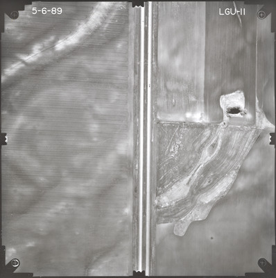
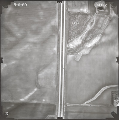
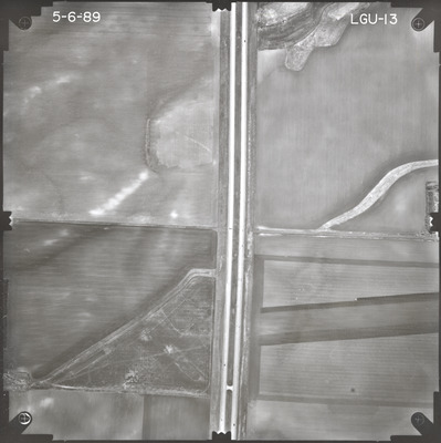
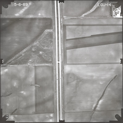
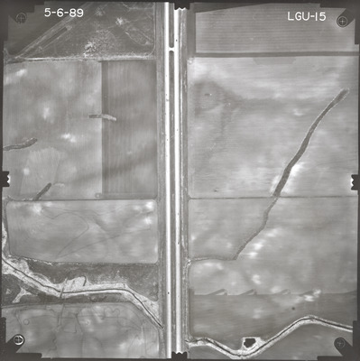
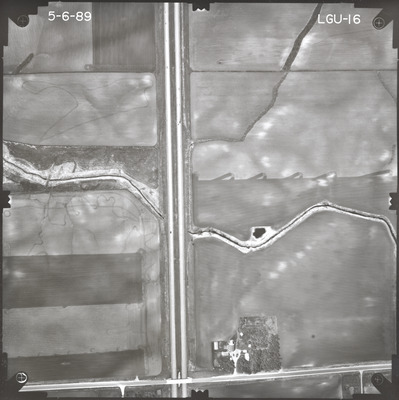
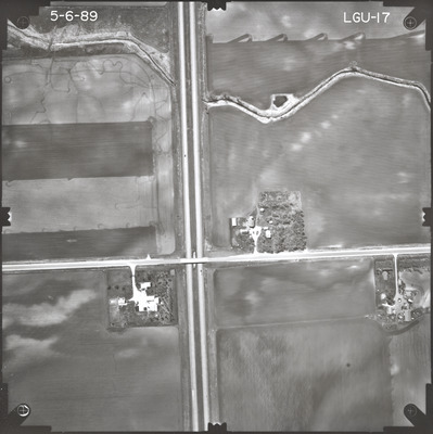
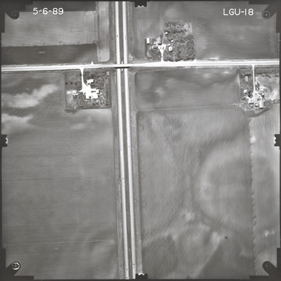
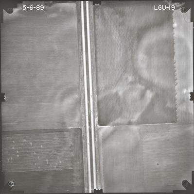
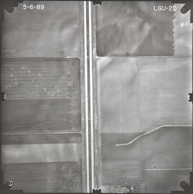
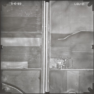
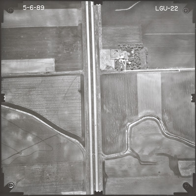
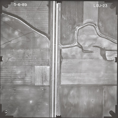
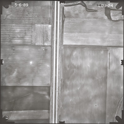
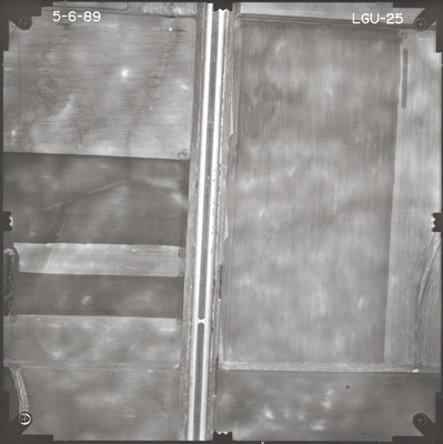
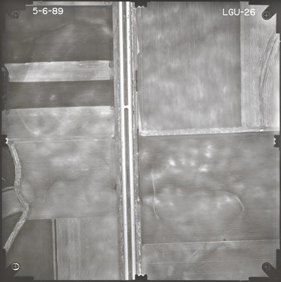
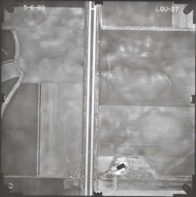
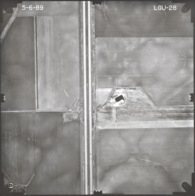
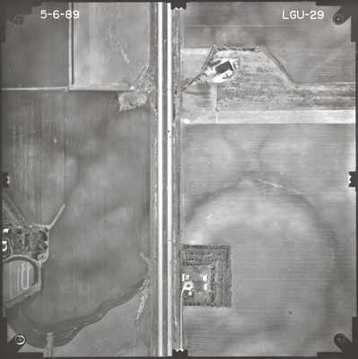
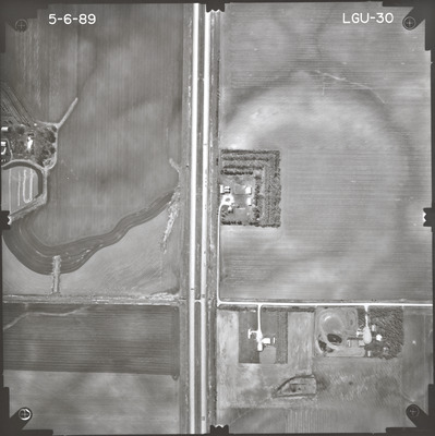
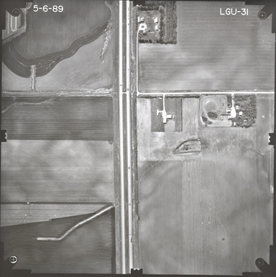
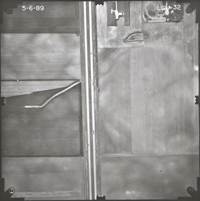
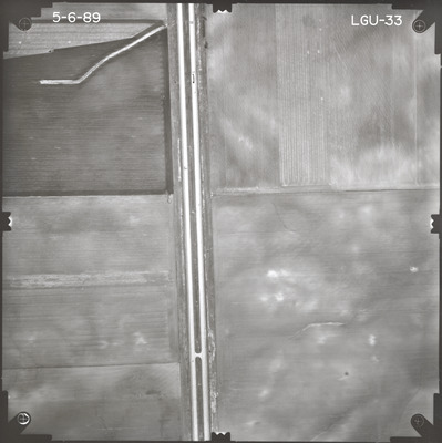
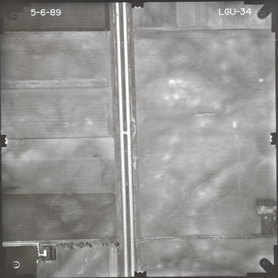
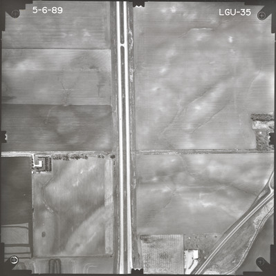
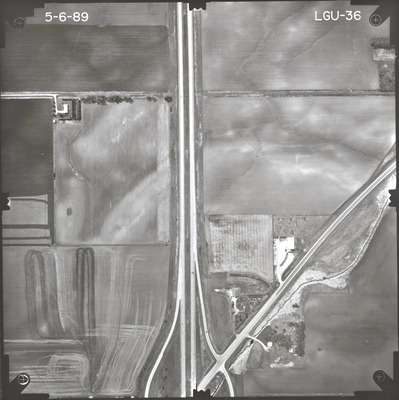
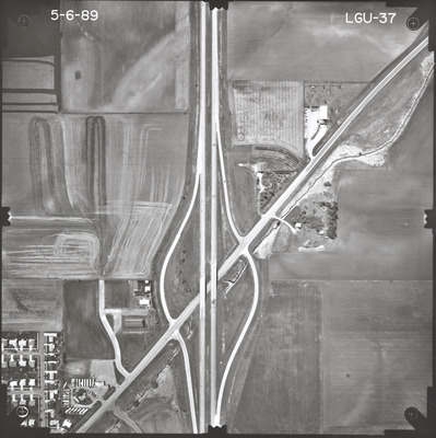
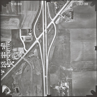
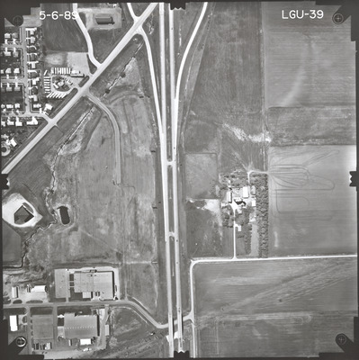
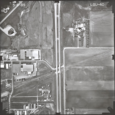
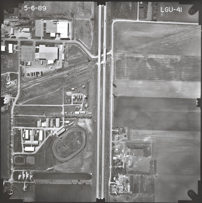
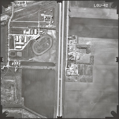
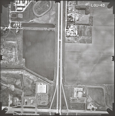
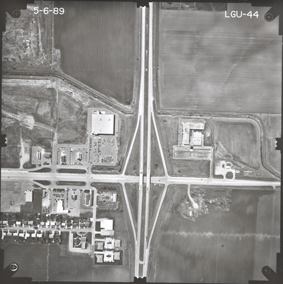
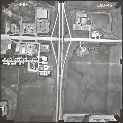
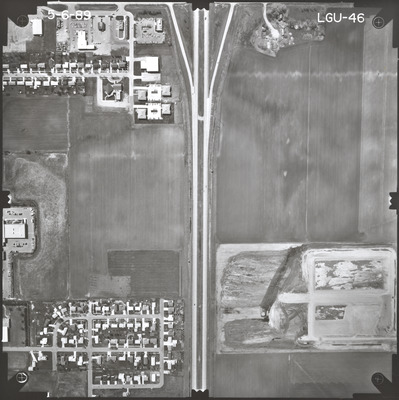
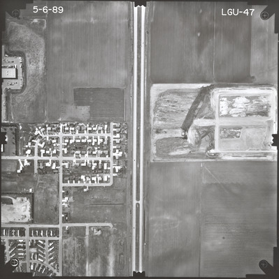
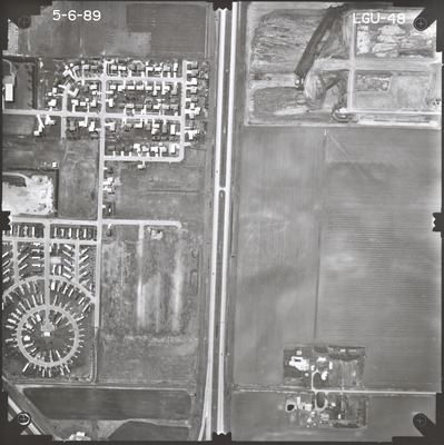
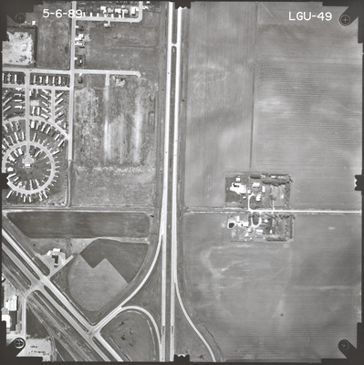
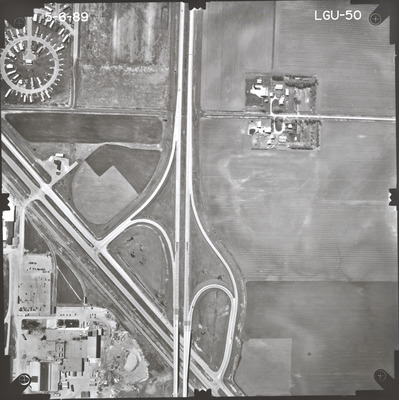
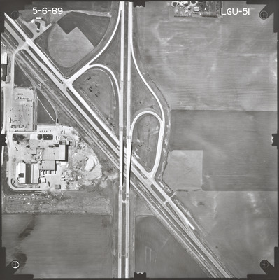
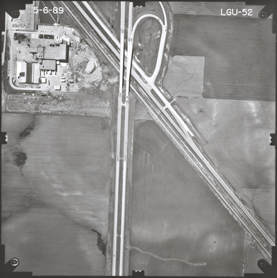
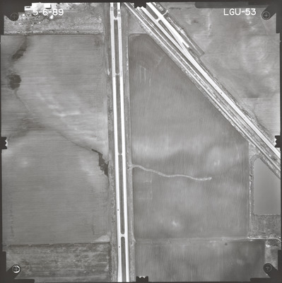
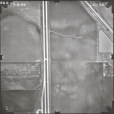
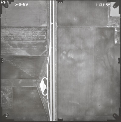
Aerial survey project no. 89S-30 was flown on May 6, 1989. These photos are a verbal scale of 1"=400'. The flight line follows an east-west direction and provides coverage for highway I-90 and the west bound lane from 1 mile east of CSAH 13 at Rushmore to the junction with highway 60 in Worthington.

Printing is not supported at the primary Gallery Thumbnail page. Please first navigate to a specific Image before printing.

Follow

Switch View to List View Slideshow
 
  • LGU-02 by Mark Hurd Aerial Surveys, Inc. Minneapolis, Minnesota

    LGU-02

  • LGU-03 by Mark Hurd Aerial Surveys, Inc. Minneapolis, Minnesota

    LGU-03

  • LGU-04 by Mark Hurd Aerial Surveys, Inc. Minneapolis, Minnesota

    LGU-04

  • LGU-05 by Mark Hurd Aerial Surveys, Inc. Minneapolis, Minnesota

    LGU-05

  • LGU-06 by Mark Hurd Aerial Surveys, Inc. Minneapolis, Minnesota

    LGU-06

  • LGU-07 by Mark Hurd Aerial Surveys, Inc. Minneapolis, Minnesota

    LGU-07

  • LGU-08 by Mark Hurd Aerial Surveys, Inc. Minneapolis, Minnesota

    LGU-08

  • LGU-09 by Mark Hurd Aerial Surveys, Inc. Minneapolis, Minnesota

    LGU-09

  • LGU-10 by Mark Hurd Aerial Surveys, Inc. Minneapolis, Minnesota

    LGU-10

  • LGU-11 by Mark Hurd Aerial Surveys, Inc. Minneapolis, Minnesota

    LGU-11

  • LGU-12 by Mark Hurd Aerial Surveys, Inc. Minneapolis, Minnesota

    LGU-12

  • LGU-13 by Mark Hurd Aerial Surveys, Inc. Minneapolis, Minnesota

    LGU-13

  • LGU-14 by Mark Hurd Aerial Surveys, Inc. Minneapolis, Minnesota

    LGU-14

  • LGU-15 by Mark Hurd Aerial Surveys, Inc. Minneapolis, Minnesota

    LGU-15

  • LGU-16 by Mark Hurd Aerial Surveys, Inc. Minneapolis, Minnesota

    LGU-16

  • LGU-17 by Mark Hurd Aerial Surveys, Inc. Minneapolis, Minnesota

    LGU-17

  • LGU-18 by Mark Hurd Aerial Surveys, Inc. Minneapolis, Minnesota

    LGU-18

  • LGU-19 by Mark Hurd Aerial Surveys, Inc. Minneapolis, Minnesota

    LGU-19

  • LGU-20 by Mark Hurd Aerial Surveys, Inc. Minneapolis, Minnesota

    LGU-20

  • LGU-21 by Mark Hurd Aerial Surveys, Inc. Minneapolis, Minnesota

    LGU-21

 
  • 1
  • 2
  • 3


Search

Advanced Search

  • Notify me via email or RSS

Author Corner

  • All Authors
  • Author FAQ
  • Submit Research

University Resources

  • Digital Exhibits
  • ARCH: University Archives Digital Collections
  • Library Services
  • Minnesota State University, Mankato
  • Contact Us
Minnesota State University Mankato Minnesota State
 
Elsevier - Digital Commons

Home | About | FAQ | My Account | Accessibility Statement

Privacy Copyright