• Home
  • Search
  • Browse Collections
  • My Account
  • About
  • DC Network Digital Commons Network™
Skip to main content
Cornerstone: A Collection of Scholarly and Creative Works for Minnesota State University, Mankato
  • Home
  • About
  • FAQ
  • My Account

Home > MAPS > MAPS-MNDOT7-AIR-PHOTOS > MNDOT7-1989-89S-31

1989 Aerial Survey Project No. 89S-31 (LGT)

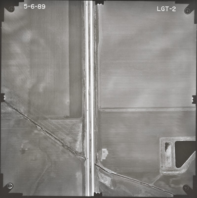
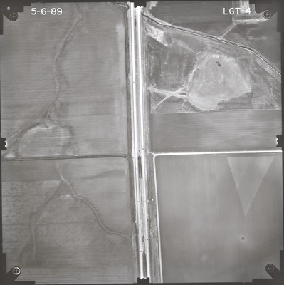
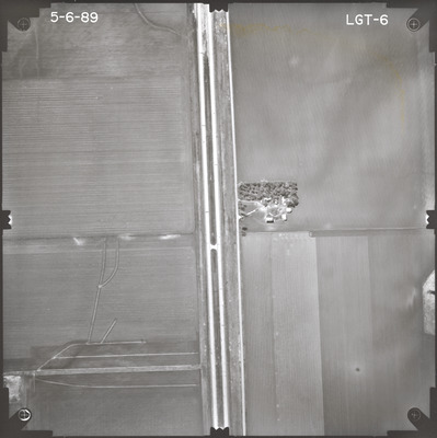
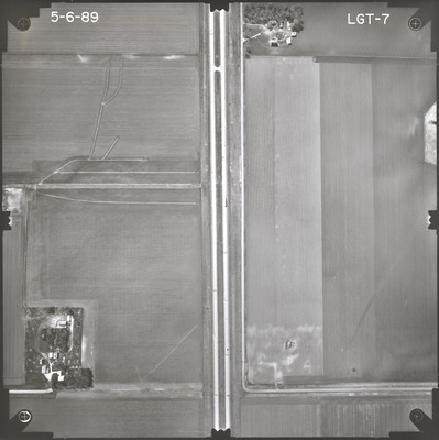
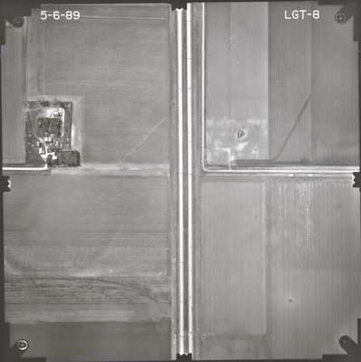
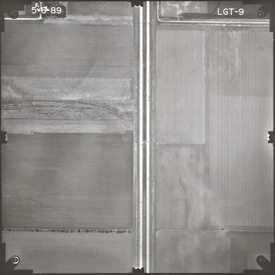
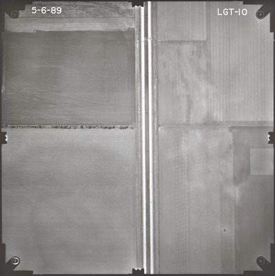
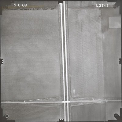
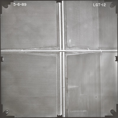
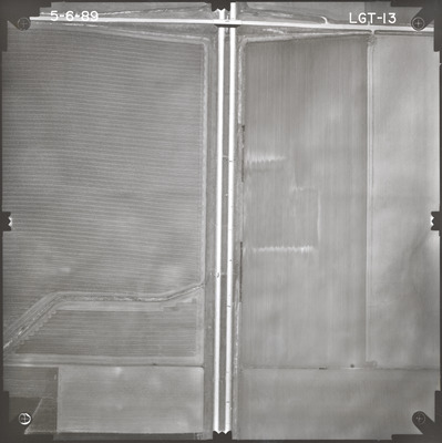
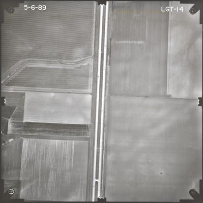
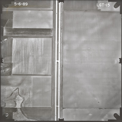
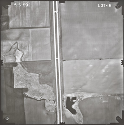
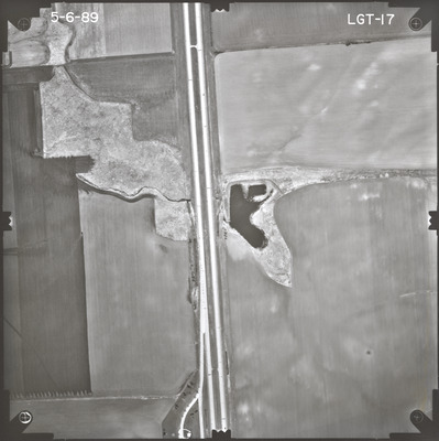
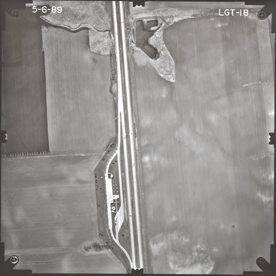
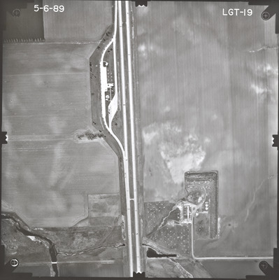
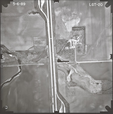
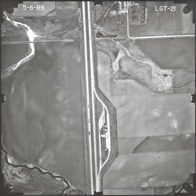
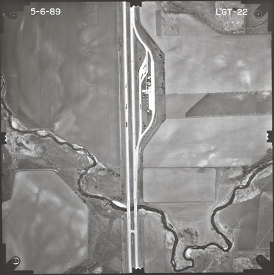
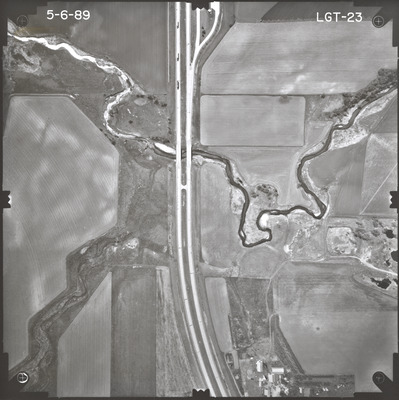
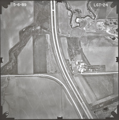
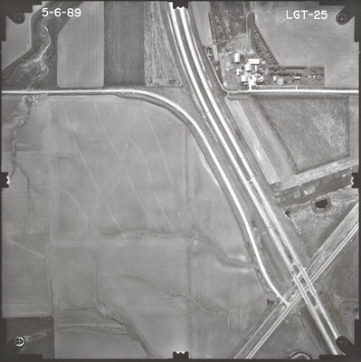
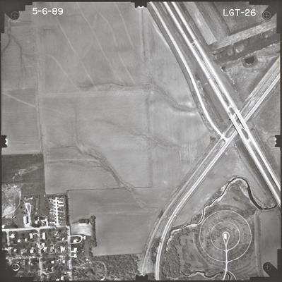
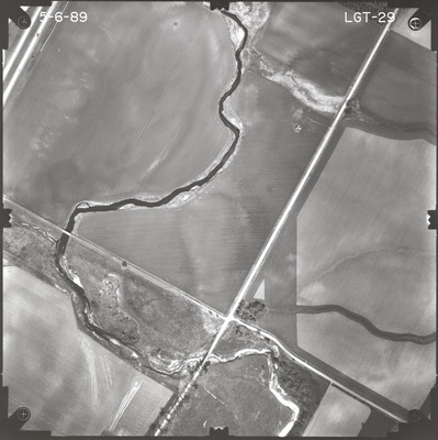
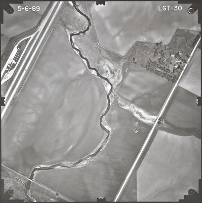
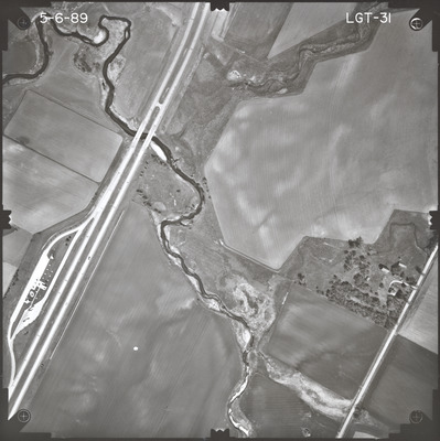
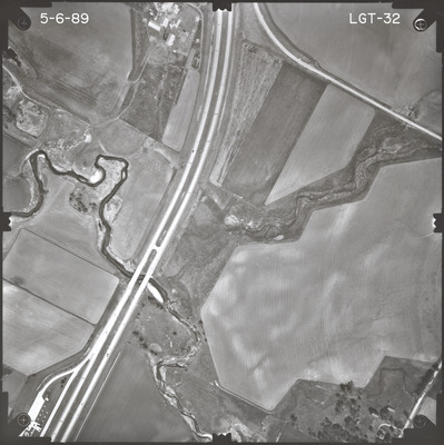
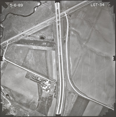
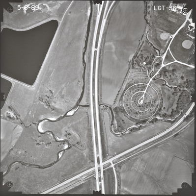
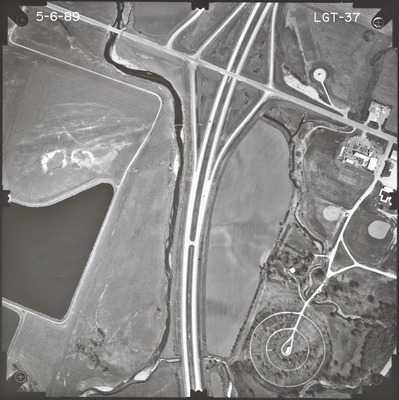
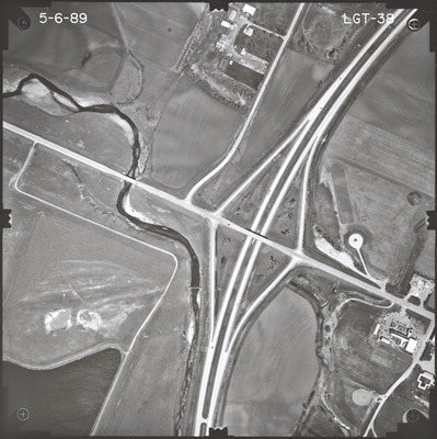
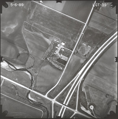
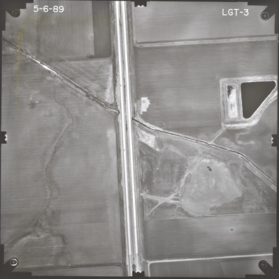
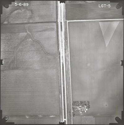
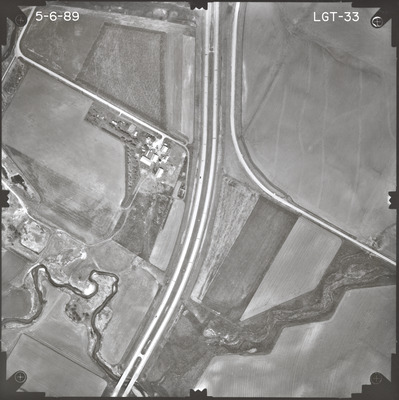
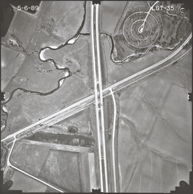
Aerial survey project no. 89S-31 was flown on May 6, 1989. These photos are a verbal scale of 1"=400'. The flight lines provide coverage for highway I-90 and the west bound lane from the western Nobles County line to CSAH 25 at Adrian.

Printing is not supported at the primary Gallery Thumbnail page. Please first navigate to a specific Image before printing.

Follow

Switch View to List View Slideshow
 
  • LGT-22 by Mark Hurd Aerial Surveys, Inc. Minneapolis, Minnesota

    LGT-22

  • LGT-23 by Mark Hurd Aerial Surveys, Inc. Minneapolis, Minnesota

    LGT-23

  • LGT-24 by Mark Hurd Aerial Surveys, Inc. Minneapolis, Minnesota

    LGT-24

  • LGT-25 by Mark Hurd Aerial Surveys, Inc. Minneapolis, Minnesota

    LGT-25

  • LGT-26 by Mark Hurd Aerial Surveys, Inc. Minneapolis, Minnesota

    LGT-26

  • LGT-27 by Mark Hurd Aerial Surveys, Inc. Minneapolis, Minnesota

    LGT-27

  • LGT-29 by Mark Hurd Aerial Surveys, Inc. Minneapolis, Minnesota

    LGT-29

  • LGT-30 by Mark Hurd Aerial Surveys, Inc. Minneapolis, Minnesota

    LGT-30

  • LGT-31 by Mark Hurd Aerial Surveys, Inc. Minneapolis, Minnesota

    LGT-31

  • LGT-32 by Mark Hurd Aerial Surveys, Inc. Minneapolis, Minnesota

    LGT-32

  • LGT-33 by Mark Hurd Aerial Surveys, Inc. Minneapolis, Minnesota

    LGT-33

  • LGT-34 by Mark Hurd Aerial Surveys, Inc. Minneapolis, Minnesota

    LGT-34

  • LGT-35 by Mark Hurd Aerial Surveys, Inc. Minneapolis, Minnesota

    LGT-35

  • LGT-36 by Mark Hurd Aerial Surveys, Inc. Minneapolis, Minnesota

    LGT-36

  • LGT-37 by Mark Hurd Aerial Surveys, Inc. Minneapolis, Minnesota

    LGT-37

  • LGT-38 by Mark Hurd Aerial Surveys, Inc. Minneapolis, Minnesota

    LGT-38

  • LGT-39 by Mark Hurd Aerial Surveys, Inc. Minneapolis, Minnesota

    LGT-39

 
  • 1
  • 2


Search

Advanced Search

  • Notify me via email or RSS

Author Corner

  • All Authors
  • Author FAQ
  • Submit Research

University Resources

  • Digital Exhibits
  • ARCH: University Archives Digital Collections
  • Library Services
  • Minnesota State University, Mankato
  • Contact Us
Minnesota State University Mankato Minnesota State
 
Elsevier - Digital Commons

Home | About | FAQ | My Account | Accessibility Statement

Privacy Copyright