

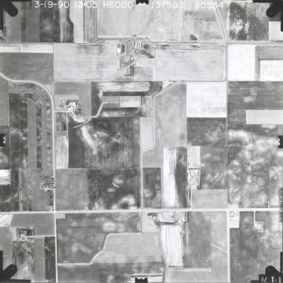
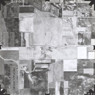
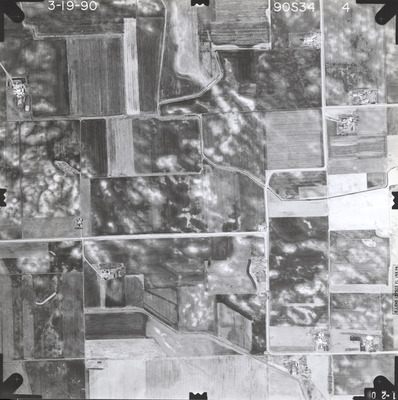
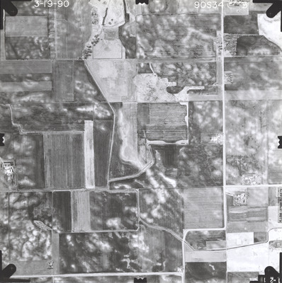
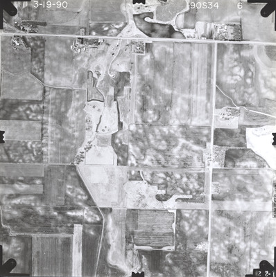
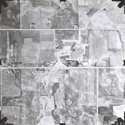
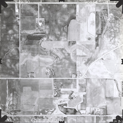
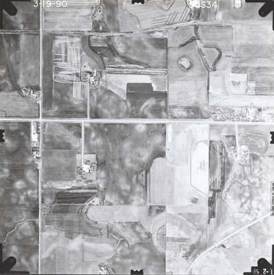
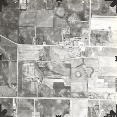
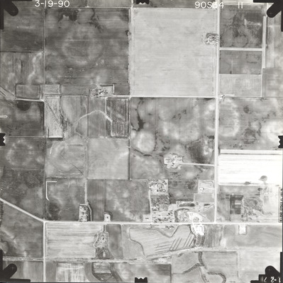
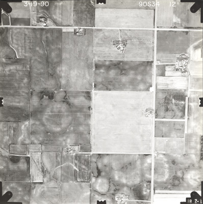
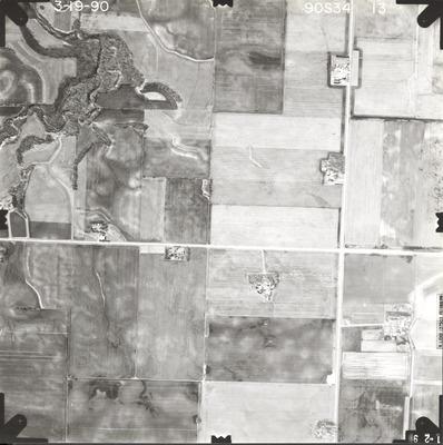
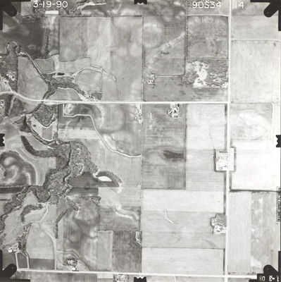
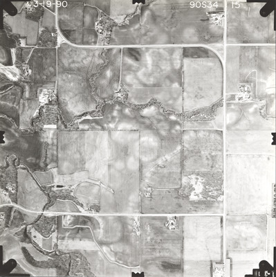
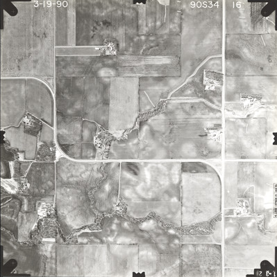
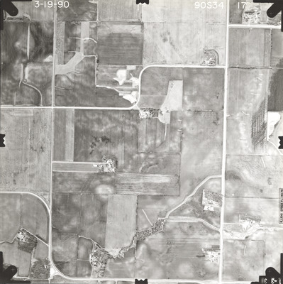
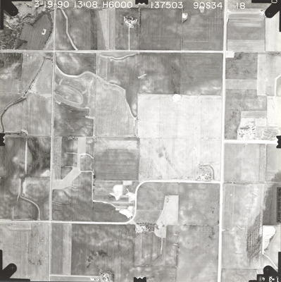
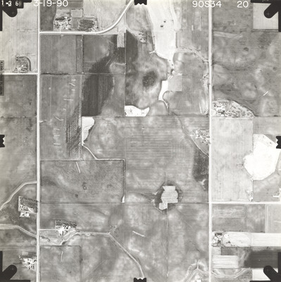
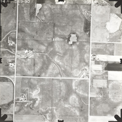
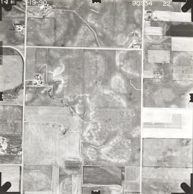
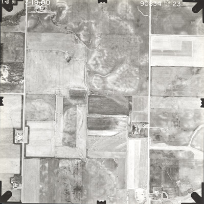
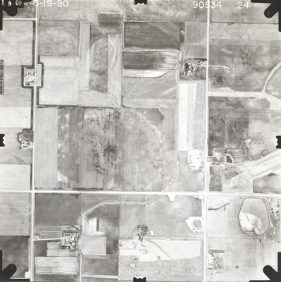
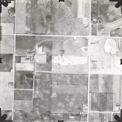
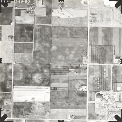
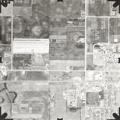
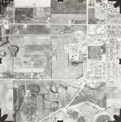
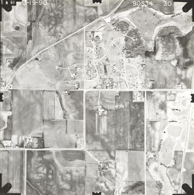
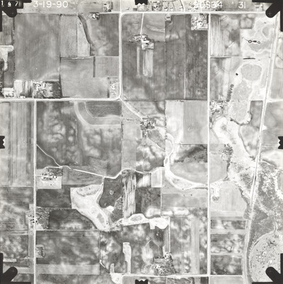
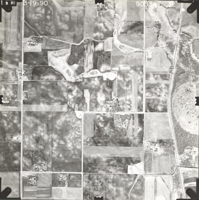
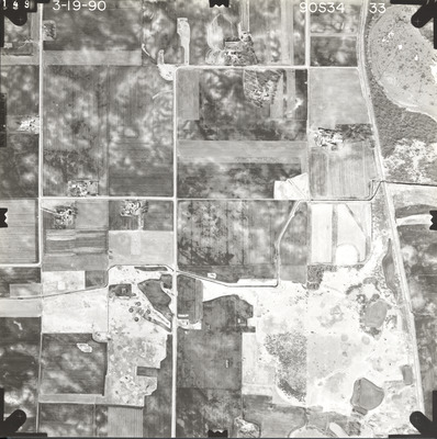
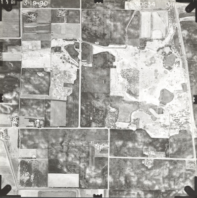
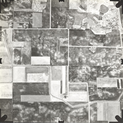
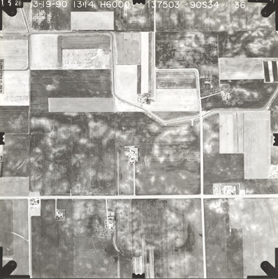
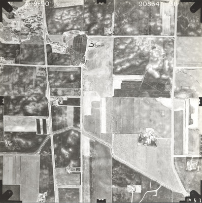
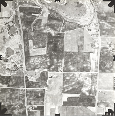
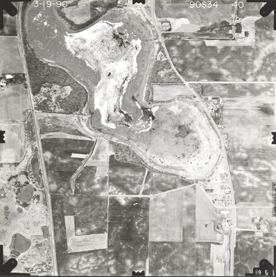
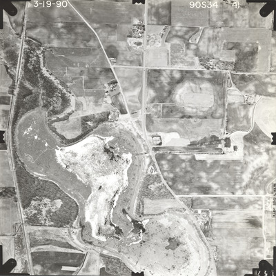
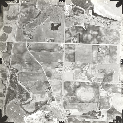
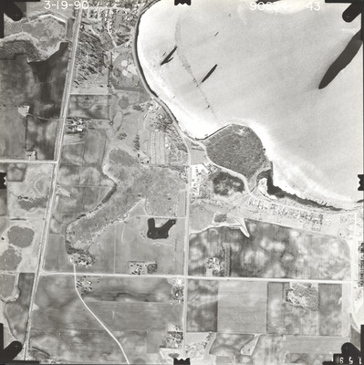
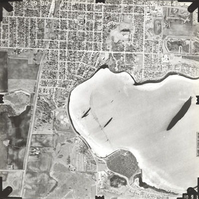
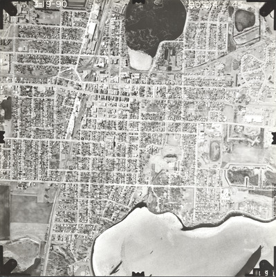
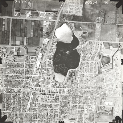
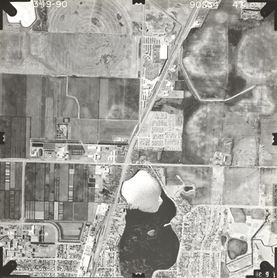
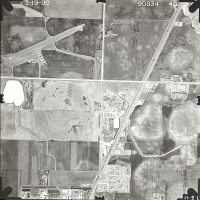
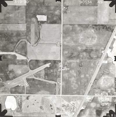
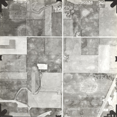
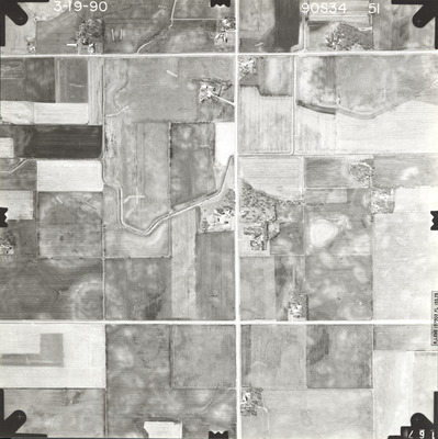
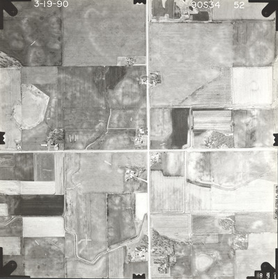
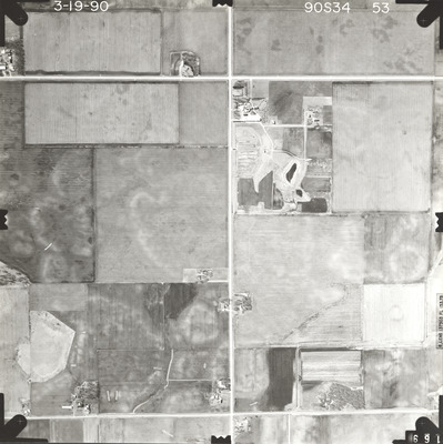
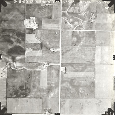
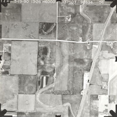
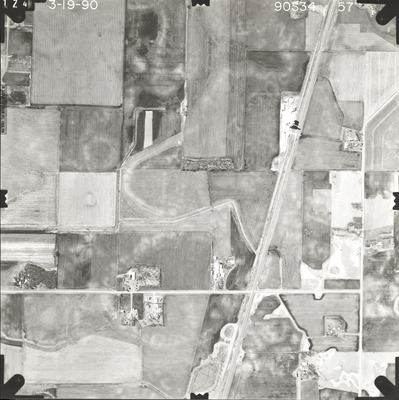
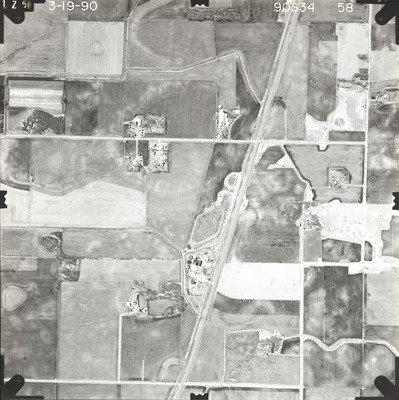
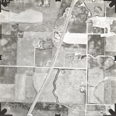
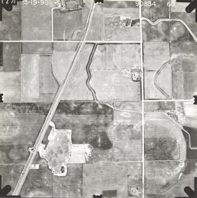
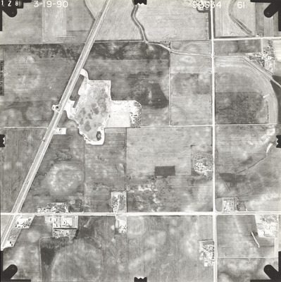
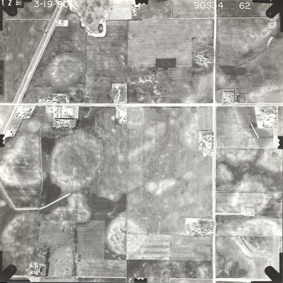
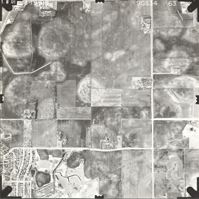
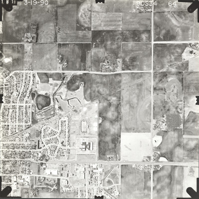
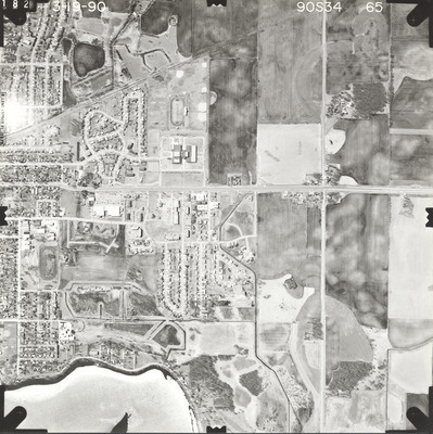
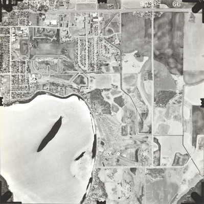
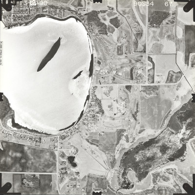
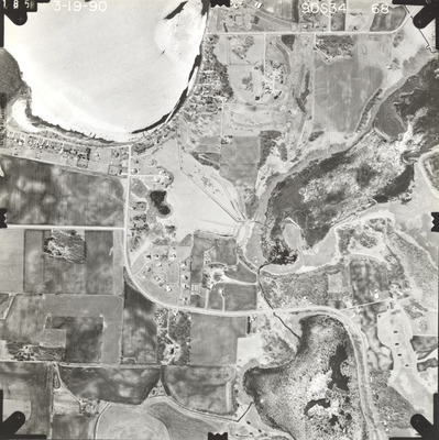
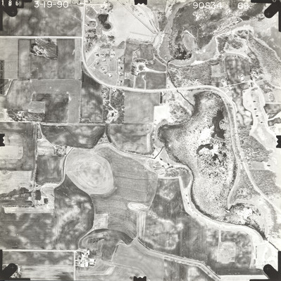
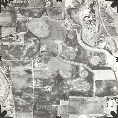
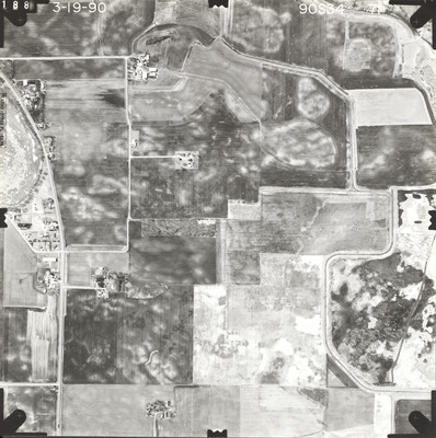
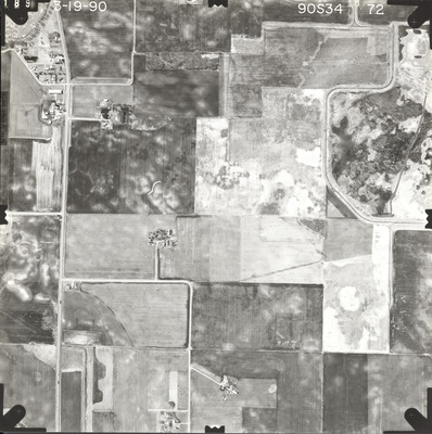
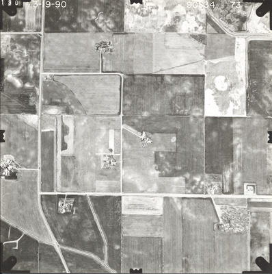
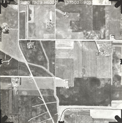
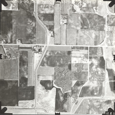
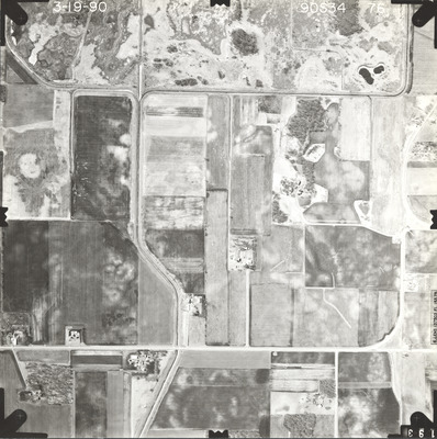
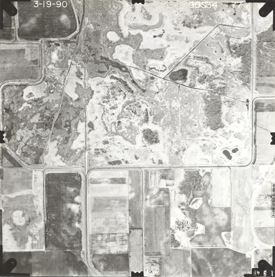
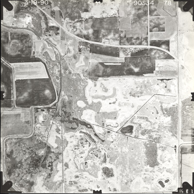
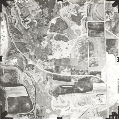
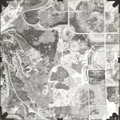
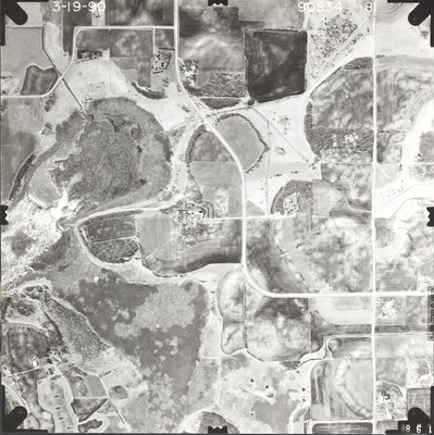
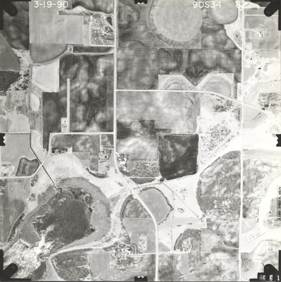
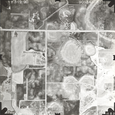
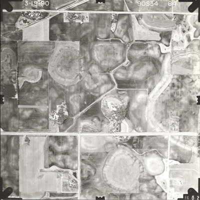
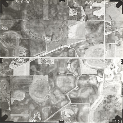
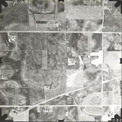
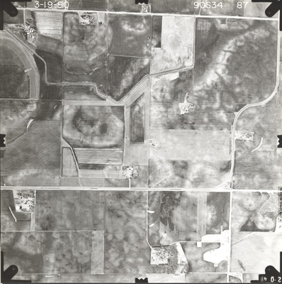
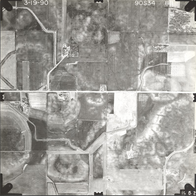
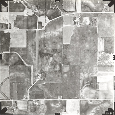
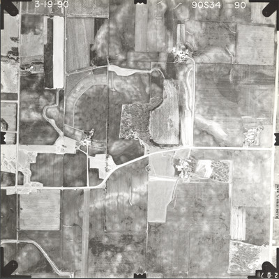
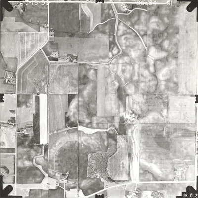
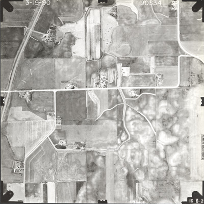
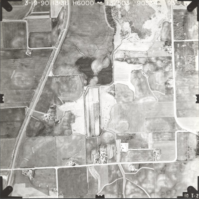
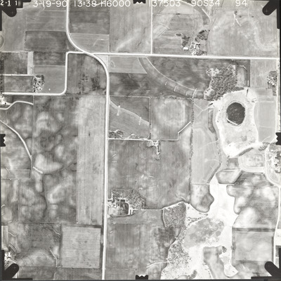
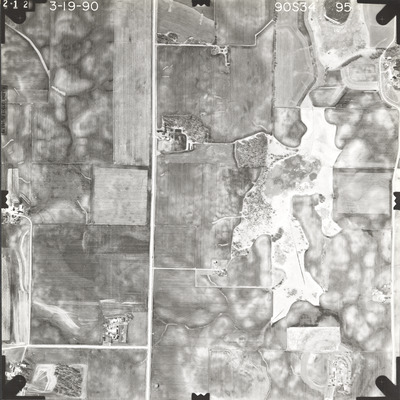
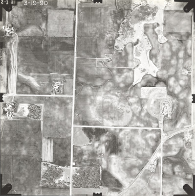
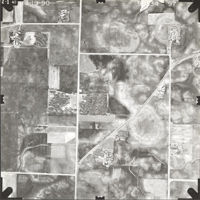
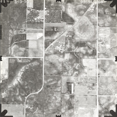
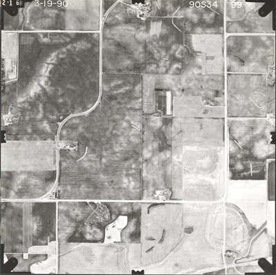
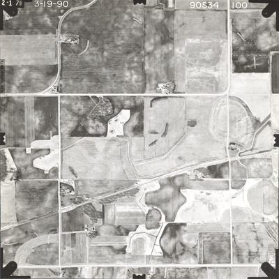
Aerial survey project no. 90S-34 was flown on March 19, 1990. These photos are a verbal scale of 1"=1000'. The flight lines follow an east-west direction and provide coverage for highway 14 from the eastern Waseca County line to 5.5 miles west of Waseca. The front of the photos indicate the focal length is 153.73mm but the back of the air photos read 153.579mm.
Printing is not supported at the primary Gallery Thumbnail page. Please first navigate to a specific Image before printing.


