

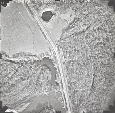
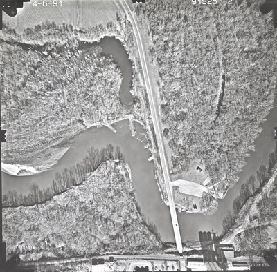
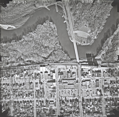
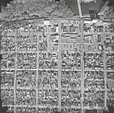
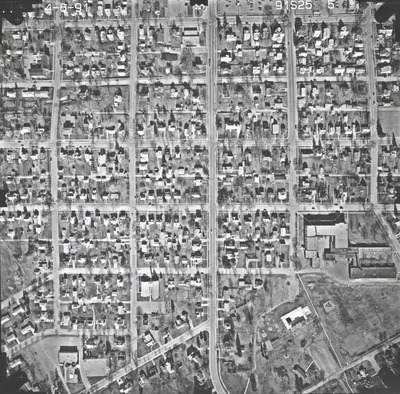
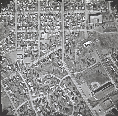
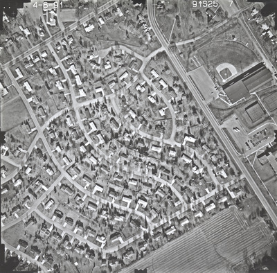
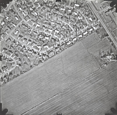
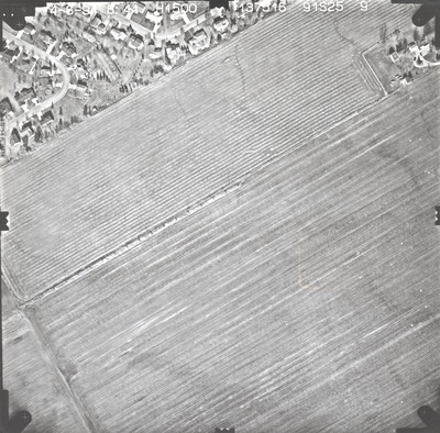
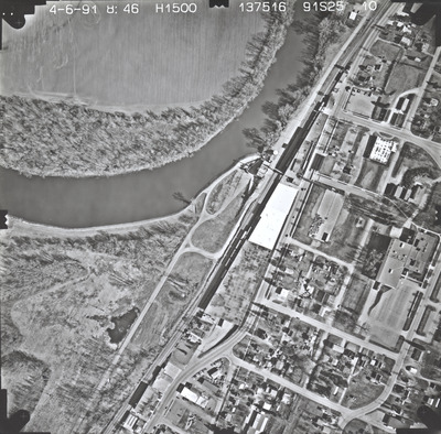
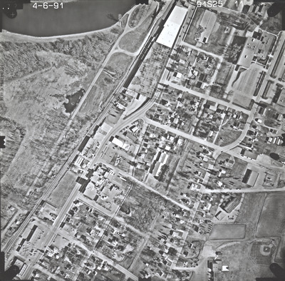
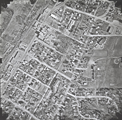
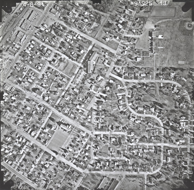
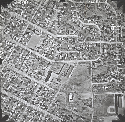
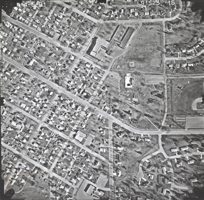
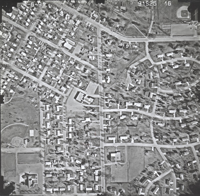
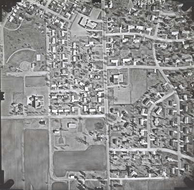
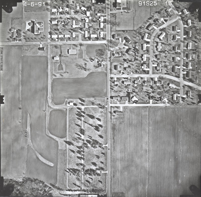
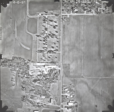
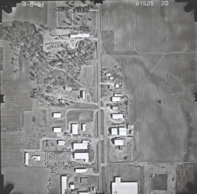
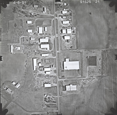
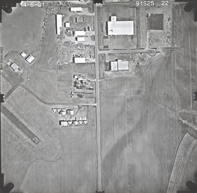
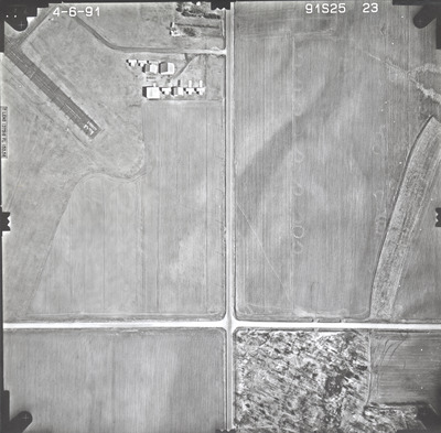
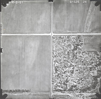
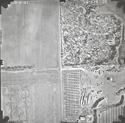
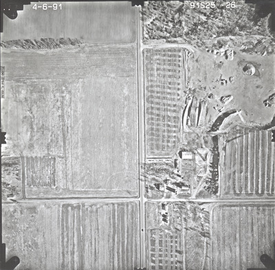
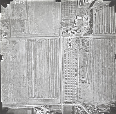
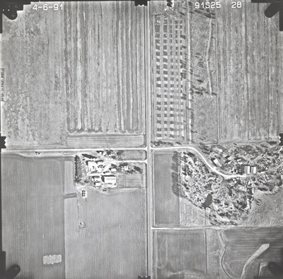
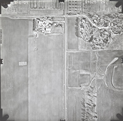
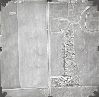
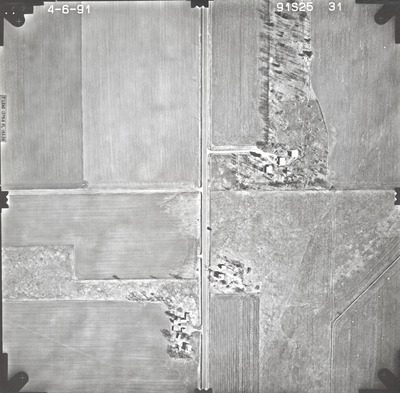
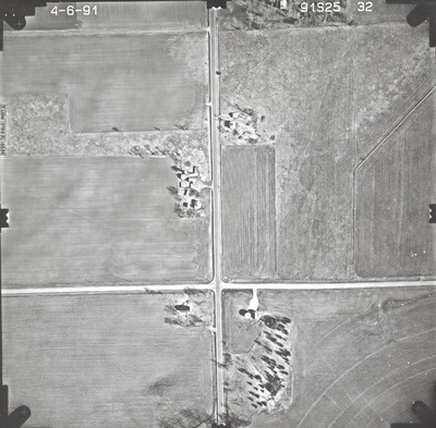
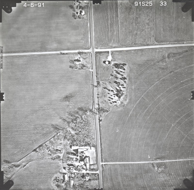
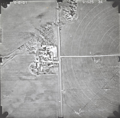
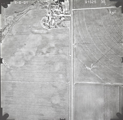
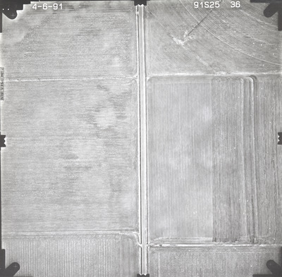
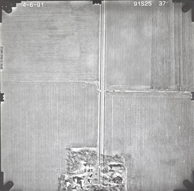
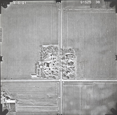
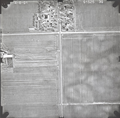
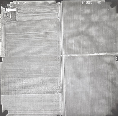
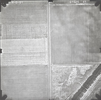
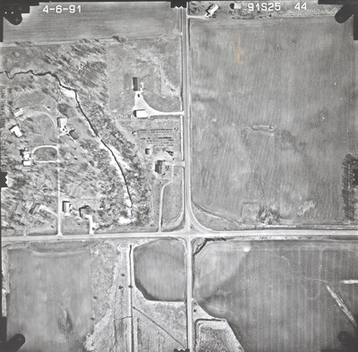
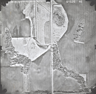
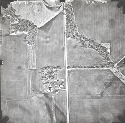
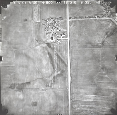
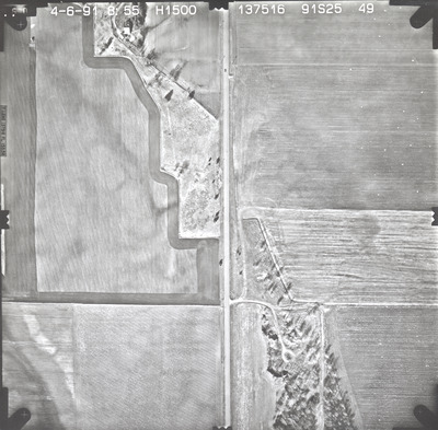
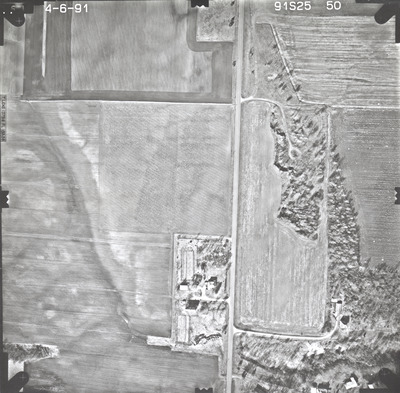
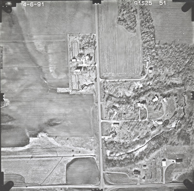
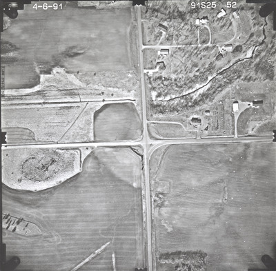
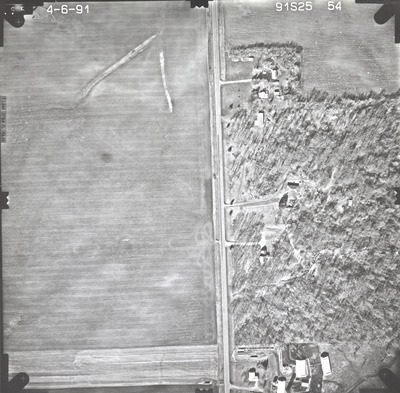
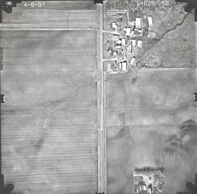
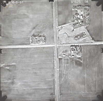
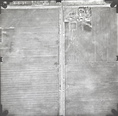
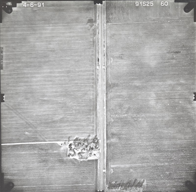
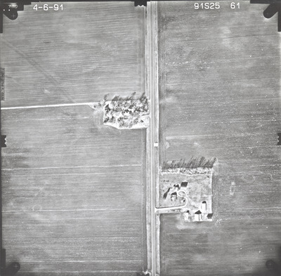
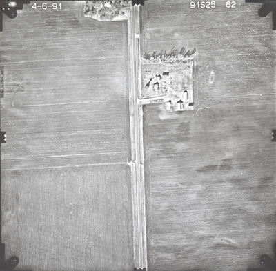
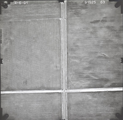
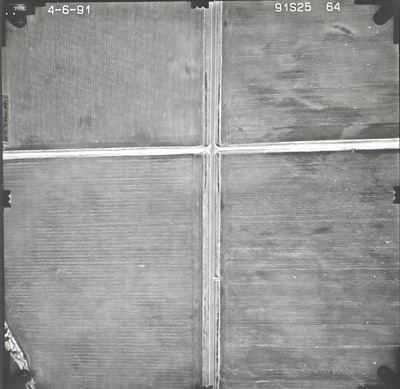
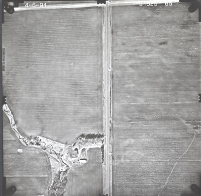
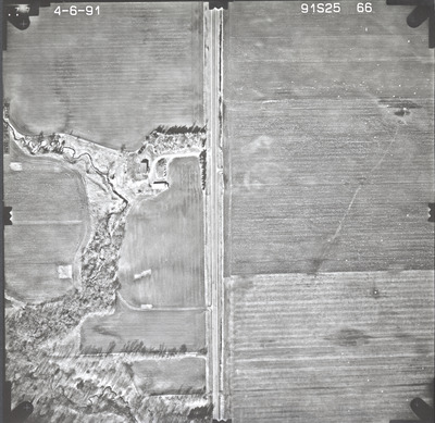
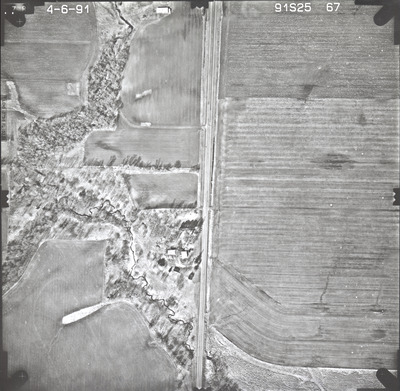
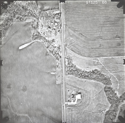
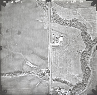
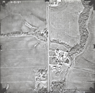
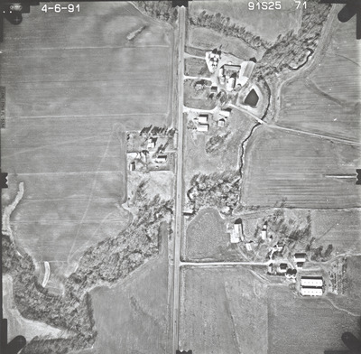
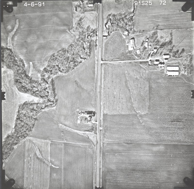
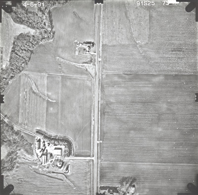
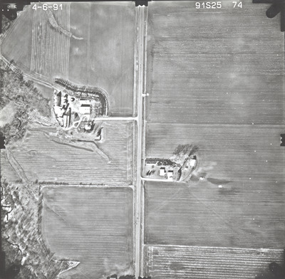
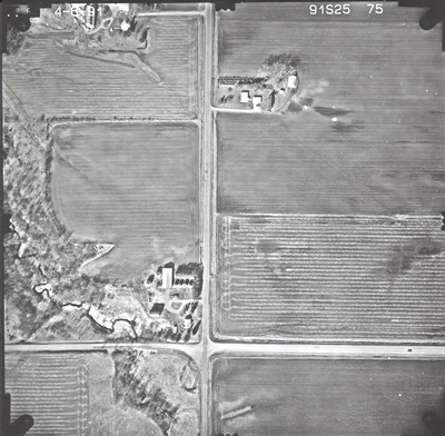
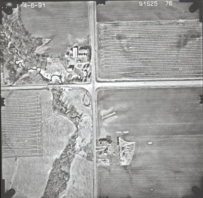
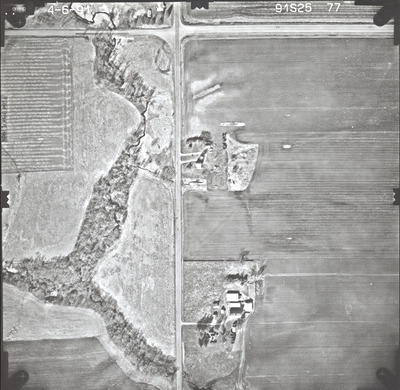
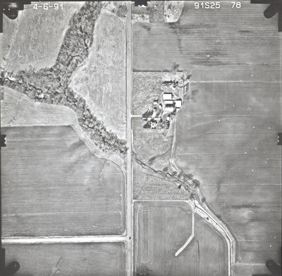
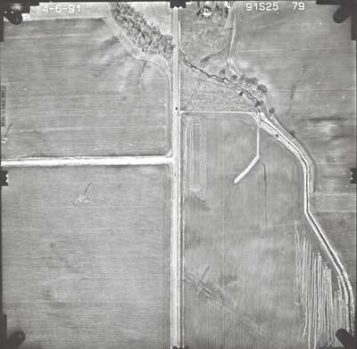
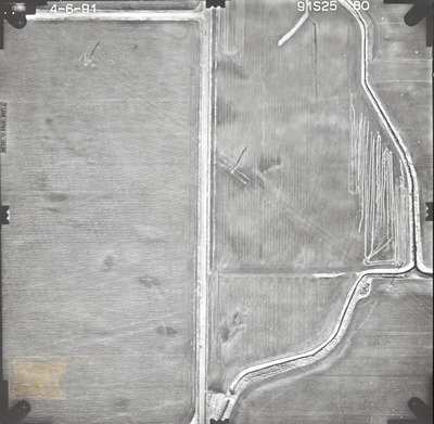
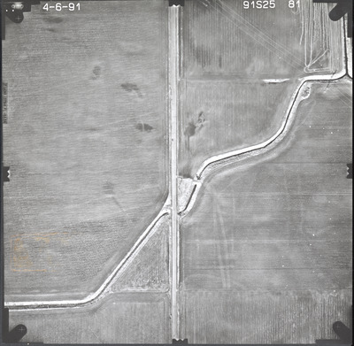
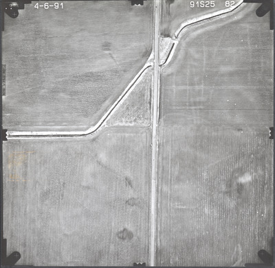
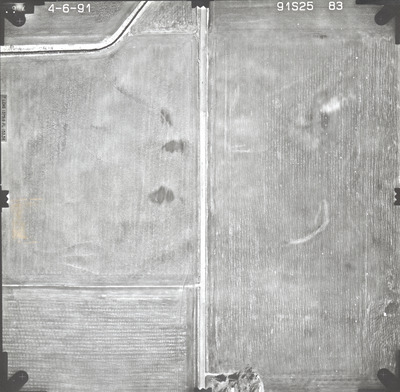
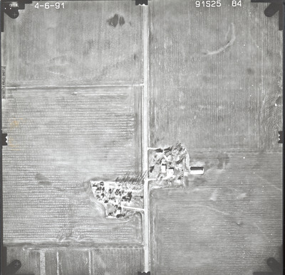
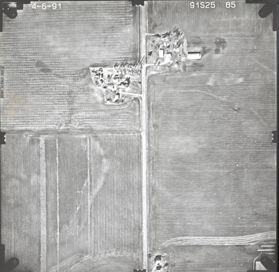
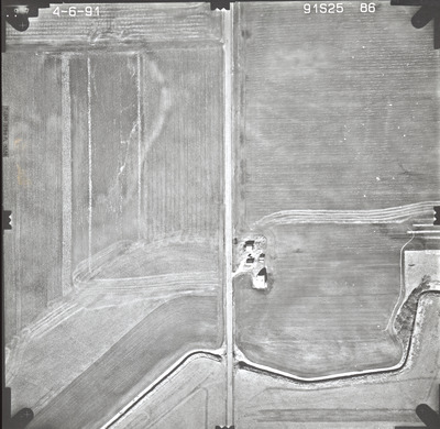
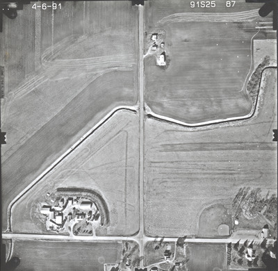
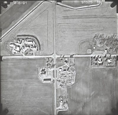
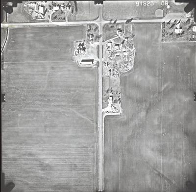
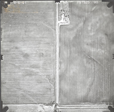
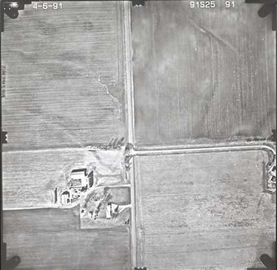
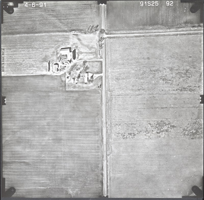
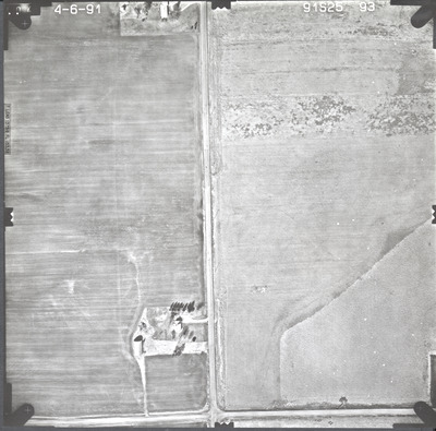
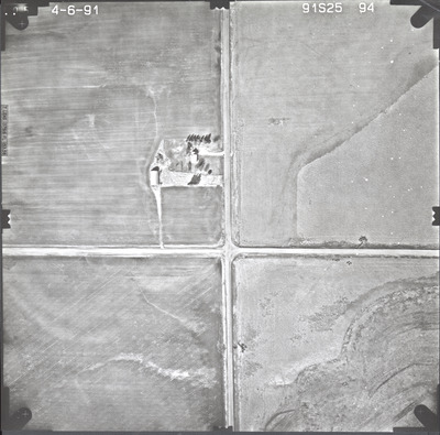
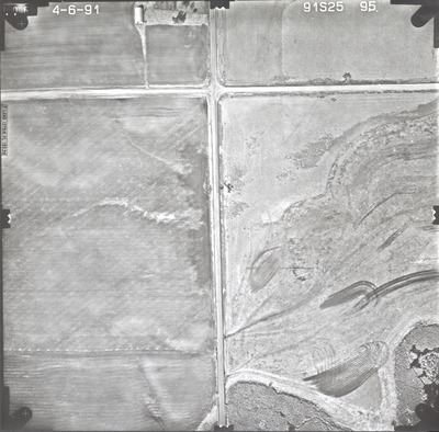
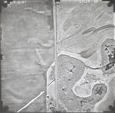
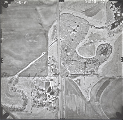
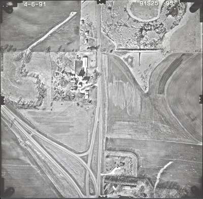
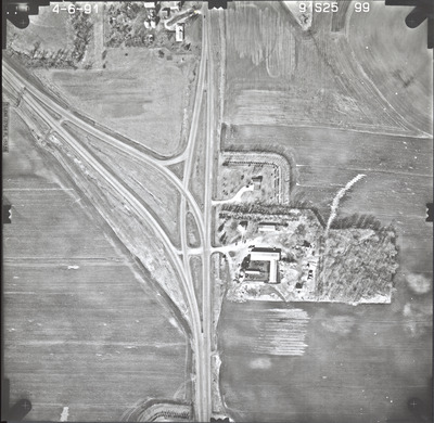
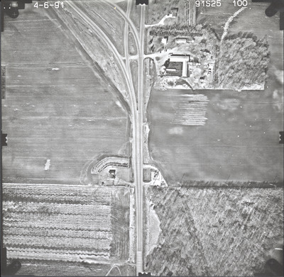
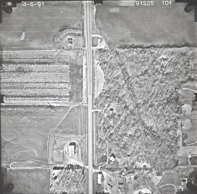
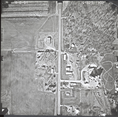
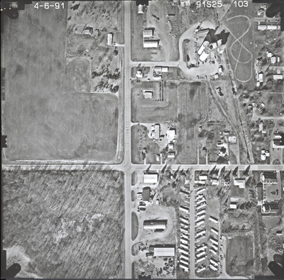
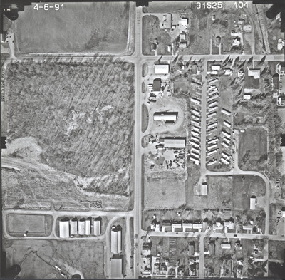
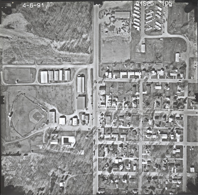
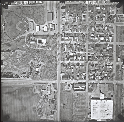
Aerial survey project no. 91S-25 was flown on April 6, 1991. These photos are a verbal scale of 1"=250'. The flight lines provide coverage for highway 112 from Le Sueur to Le Center.
Printing is not supported at the primary Gallery Thumbnail page. Please first navigate to a specific Image before printing.


