

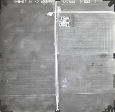
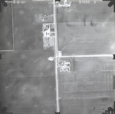
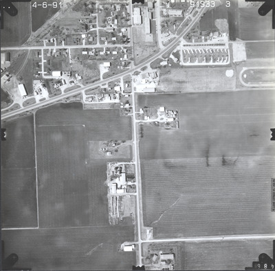
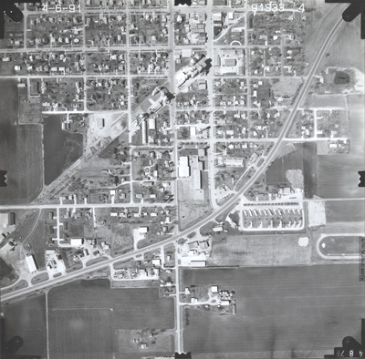
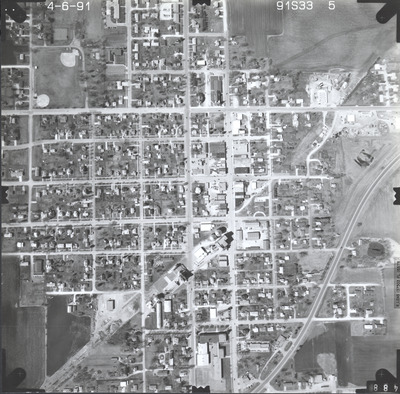
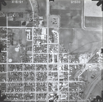
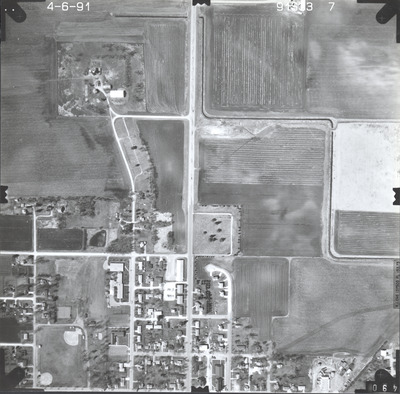
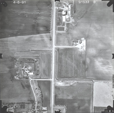
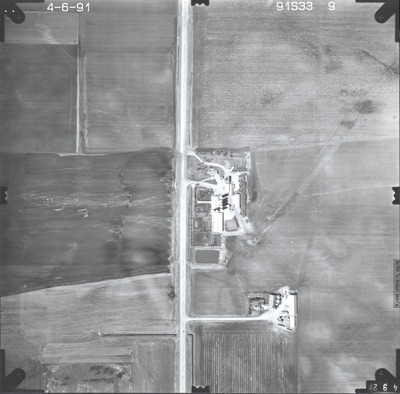
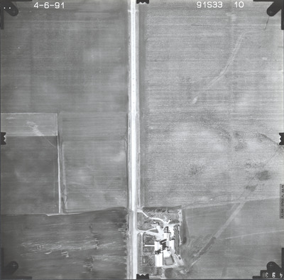
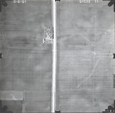
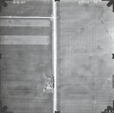
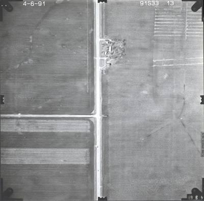
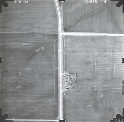
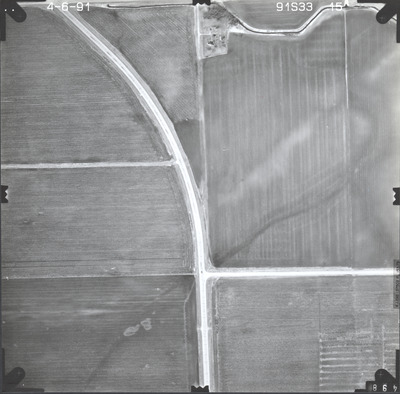
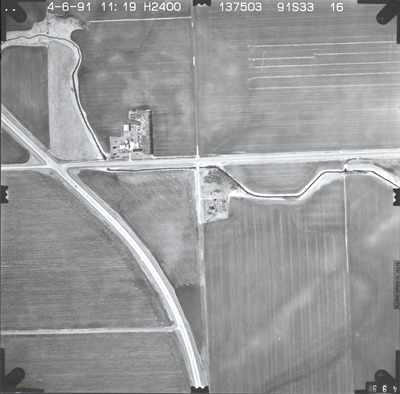
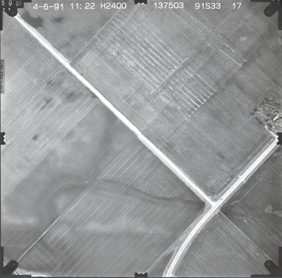
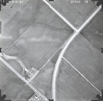
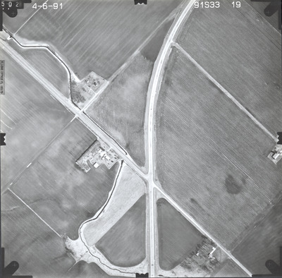
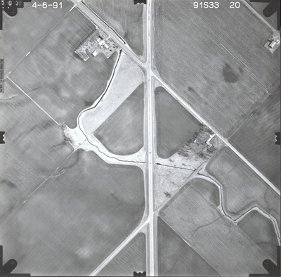
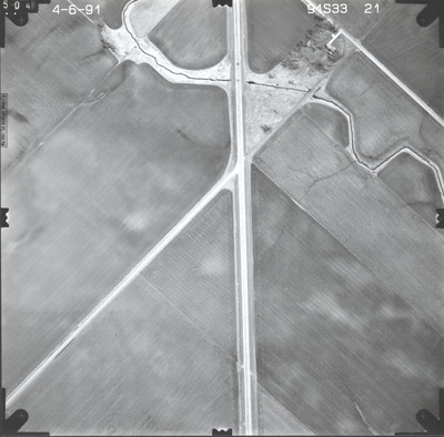
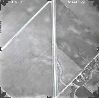
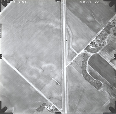
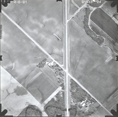
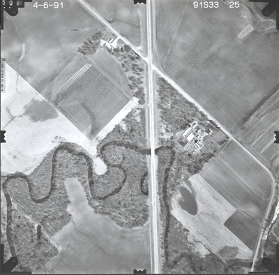
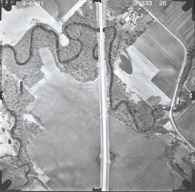
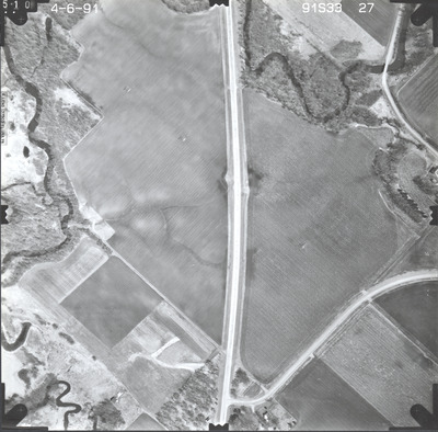
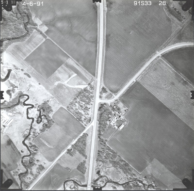
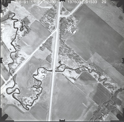
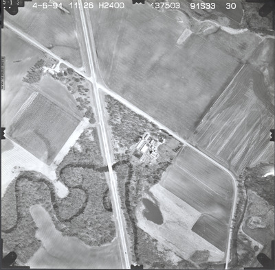
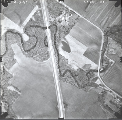
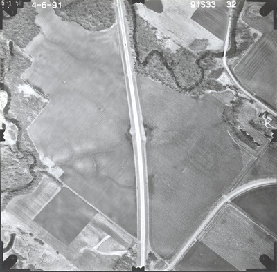
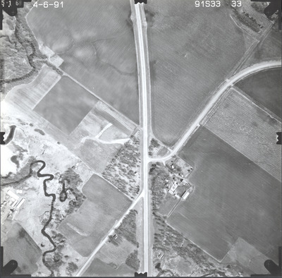
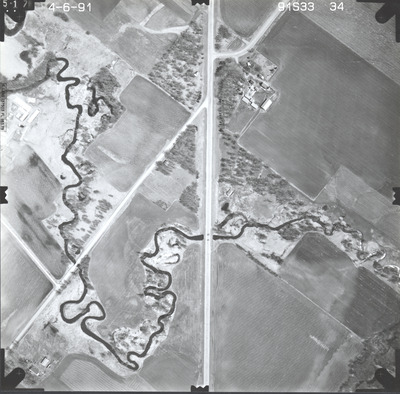
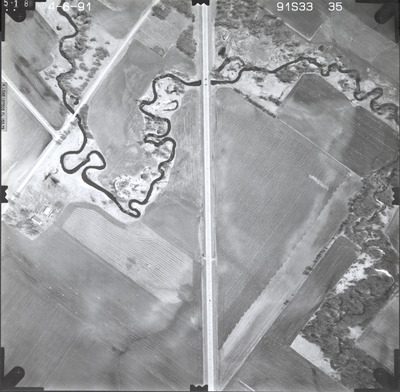
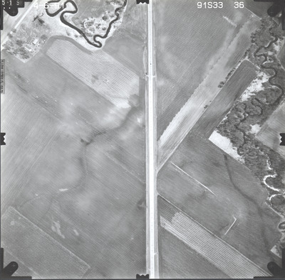
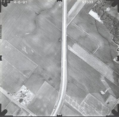
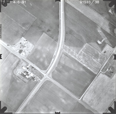
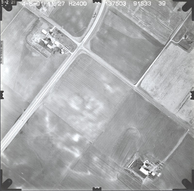
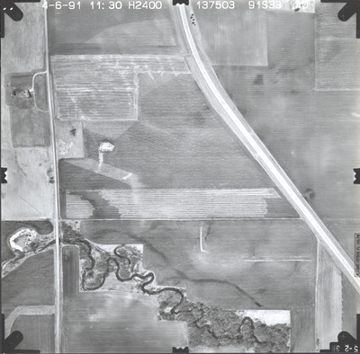
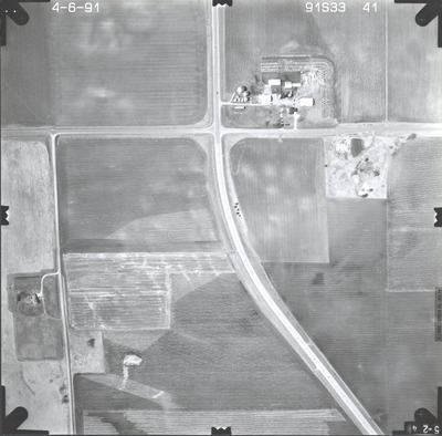
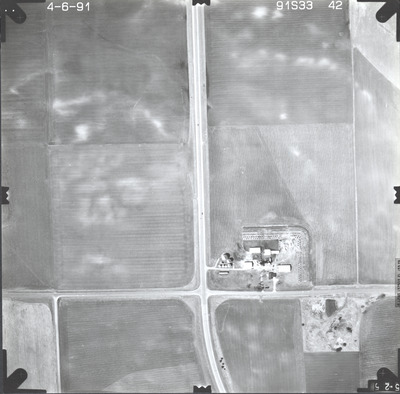
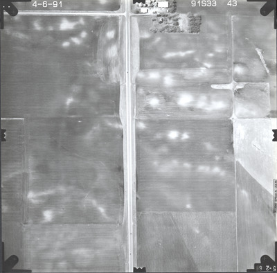
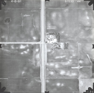
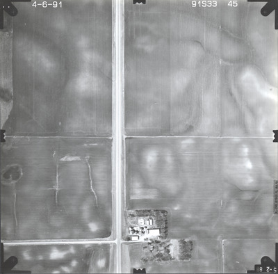
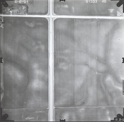
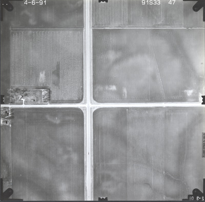
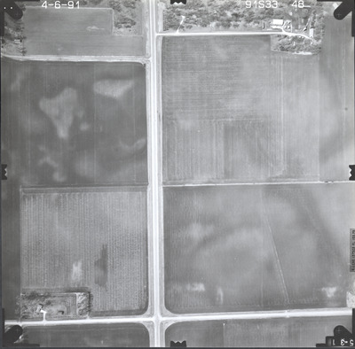
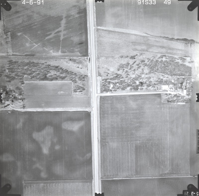
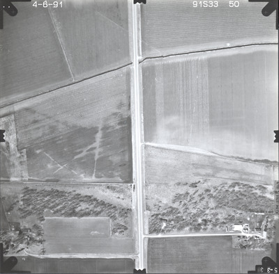
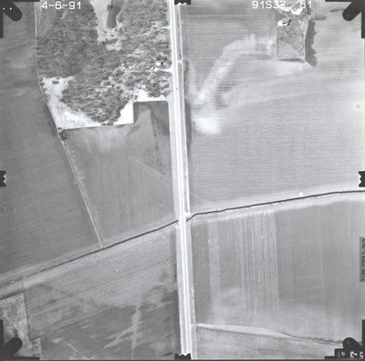
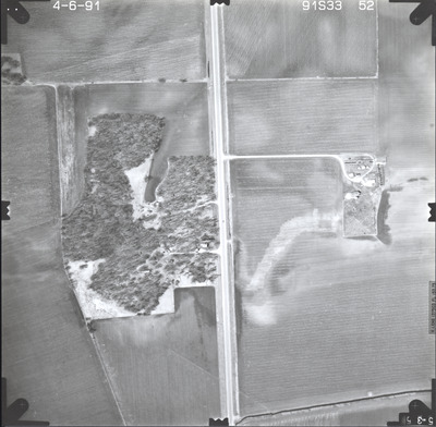
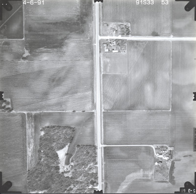
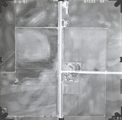
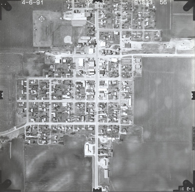
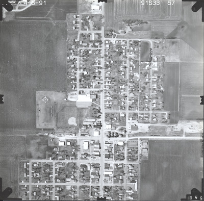
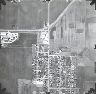
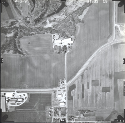
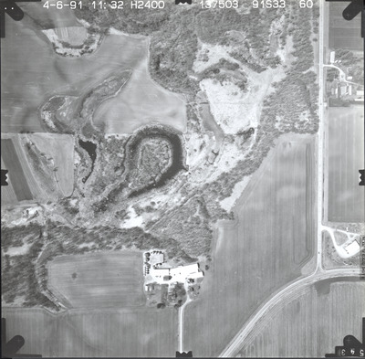
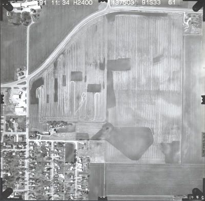
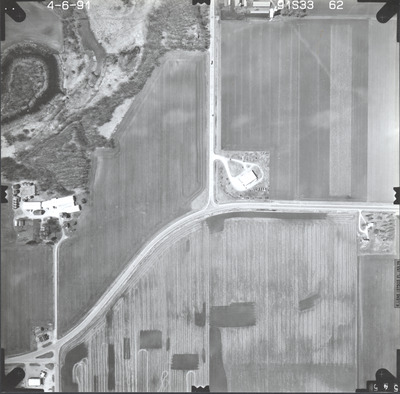
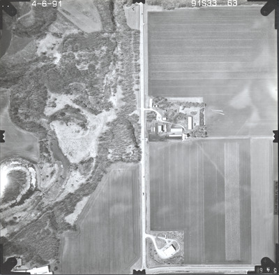
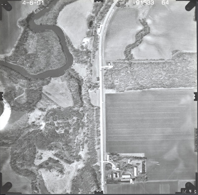
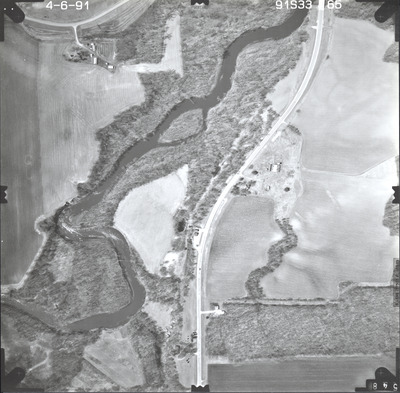
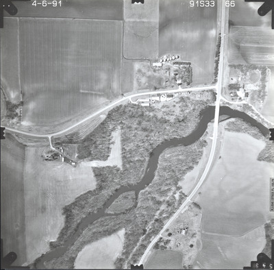
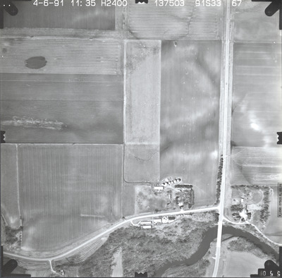
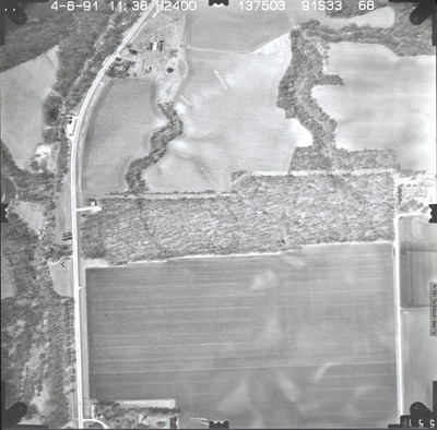
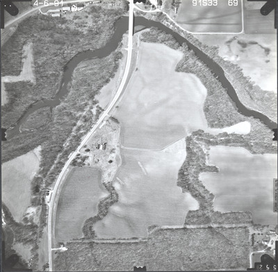
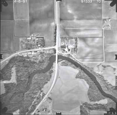
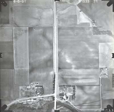
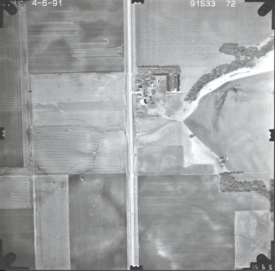
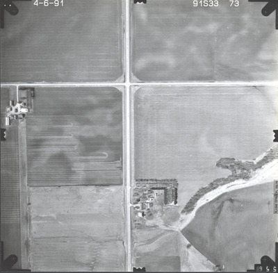
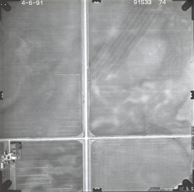
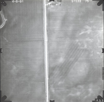
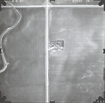
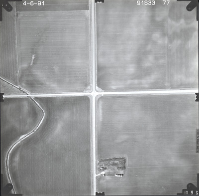
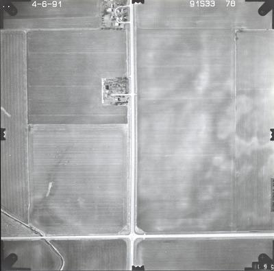
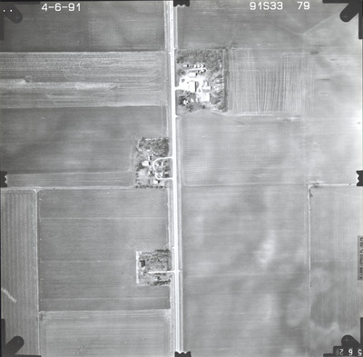
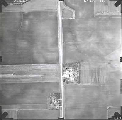
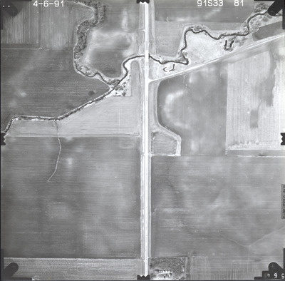
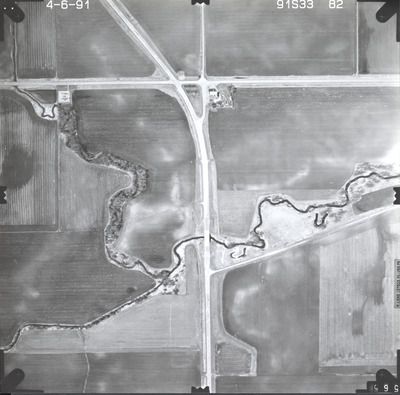
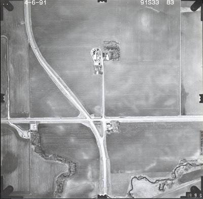
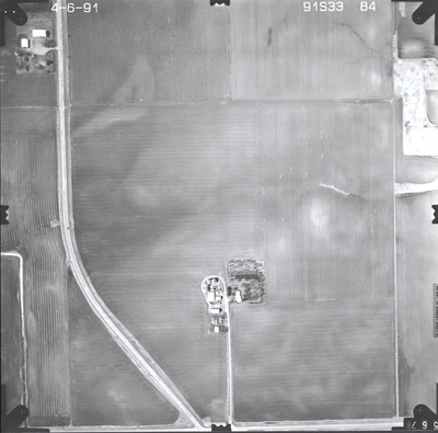
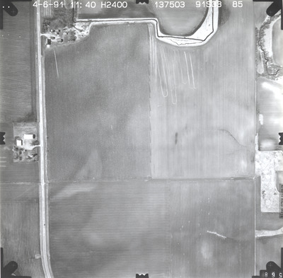
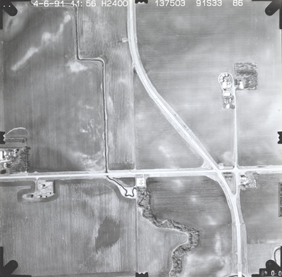
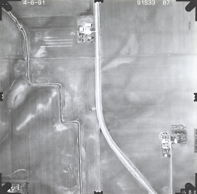
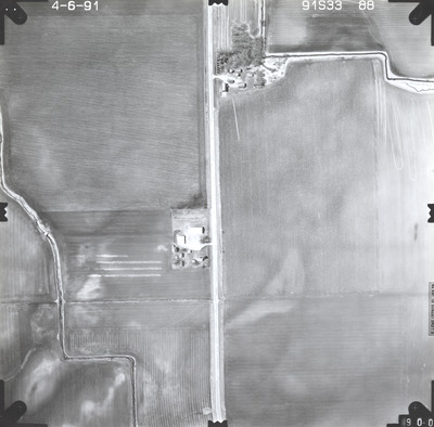
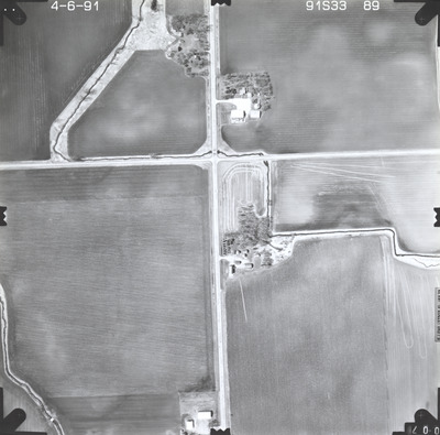
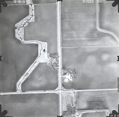
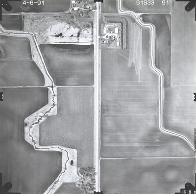
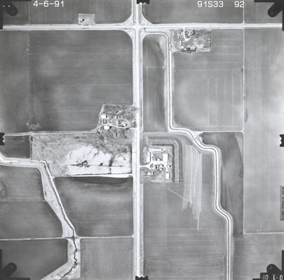
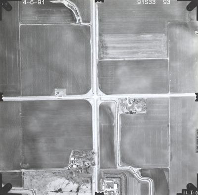
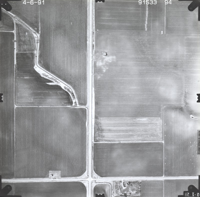
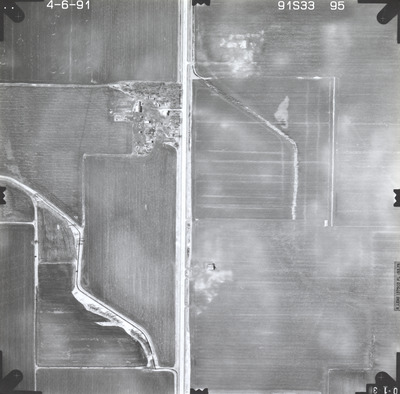
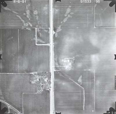
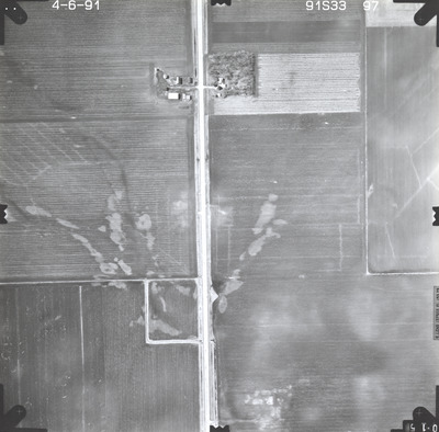
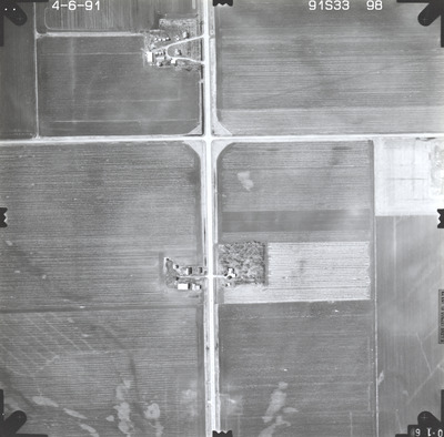
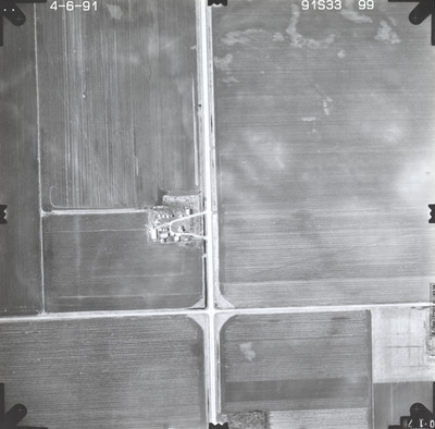
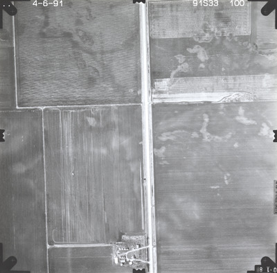
Aerial survey project no. 91S-33 was flown on April 6, 1991. These photos are a verbal scale of 1"=400'. The flight lines provide coverage for highway 30 from Mapleton to the south junction with highway 15. The front of the photos indicate the focal length is 153.73mm but the back of the air photos read 153.58mm.
Printing is not supported at the primary Gallery Thumbnail page. Please first navigate to a specific Image before printing.


