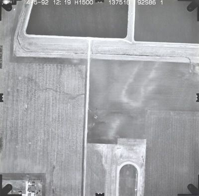
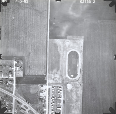
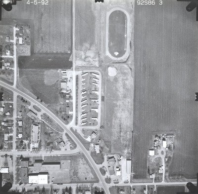
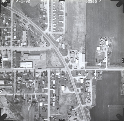
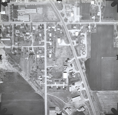
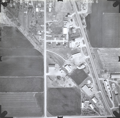
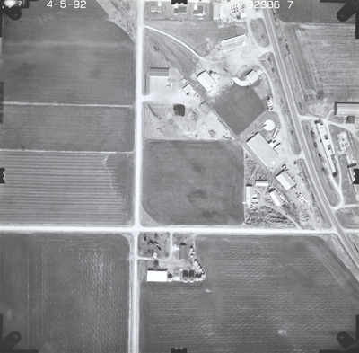
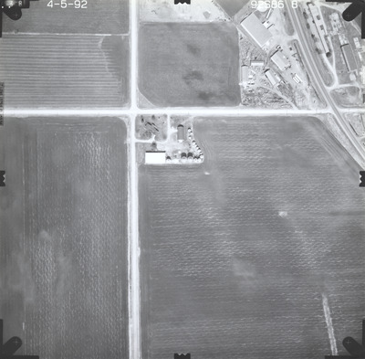
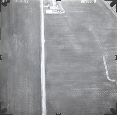
Aerial survey project no. 92S-86 was flown on April 5, 1992. These photos are a verbal scale of 1"=250'. The flight line follows a north-south direction and provides coverage for highway 22 and the Mapleton Truck Station.


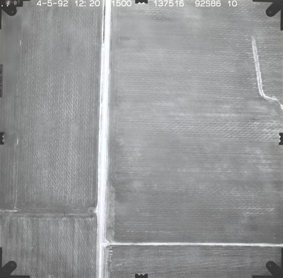
Aerial survey project no. 92S-86 was flown on April 5, 1992. These photos are a verbal scale of 1"=250'. The flight line follows a north-south direction and provides coverage for highway 22 and the Mapleton Truck Station.


