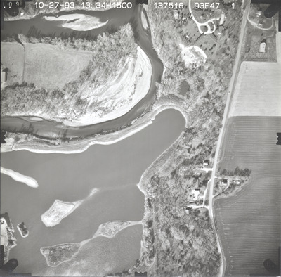
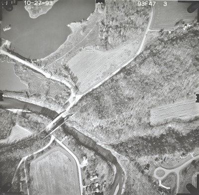
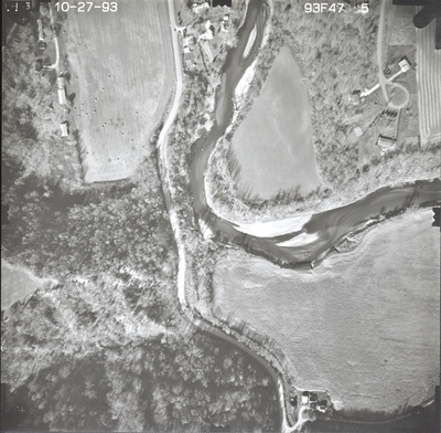
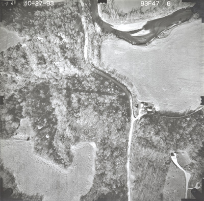
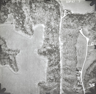
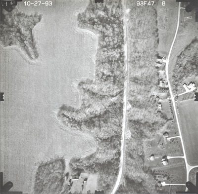
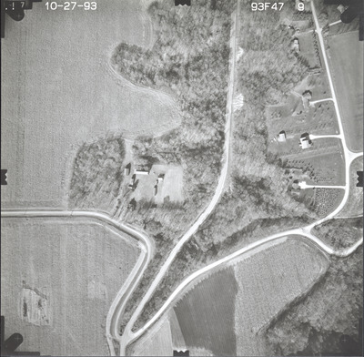
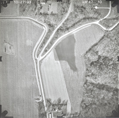
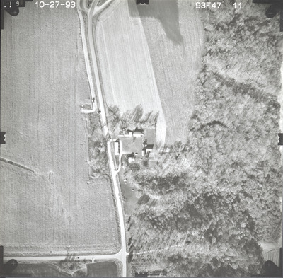
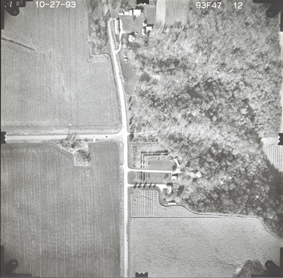
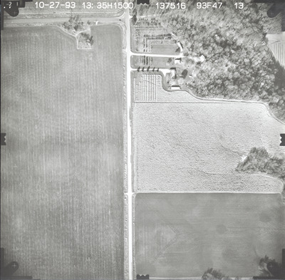
Aerial survey project no. 93F-47 was flown on October 27, 1993. These photos are a verbal scale of 1"=250'. The flight line follows a north-south direction and provides coverage for highway 66 from 3 miles south of Mankato.


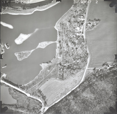
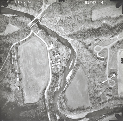
Aerial survey project no. 93F-47 was flown on October 27, 1993. These photos are a verbal scale of 1"=250'. The flight line follows a north-south direction and provides coverage for highway 66 from 3 miles south of Mankato.


