• Home
  • Search
  • Browse Collections
  • My Account
  • About
  • DC Network Digital Commons Network™
Skip to main content
Cornerstone: A Collection of Scholarly and Creative Works for Minnesota State University, Mankato
  • Home
  • About
  • FAQ
  • My Account

Home > MAPS > MAPS-MNDOT7-AIR-PHOTOS > MNDOT7-1994-94F-58

1994 Aerial Survey Project No. 94F-58

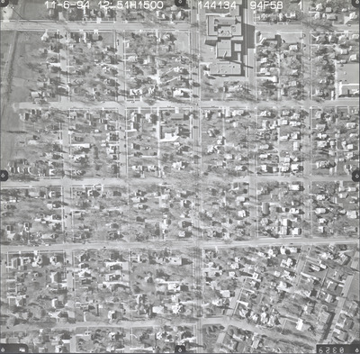
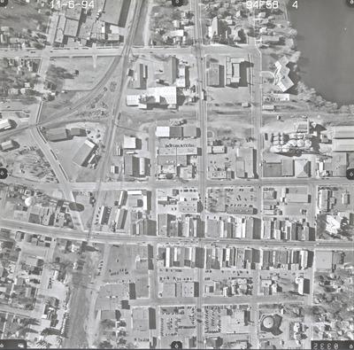
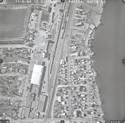
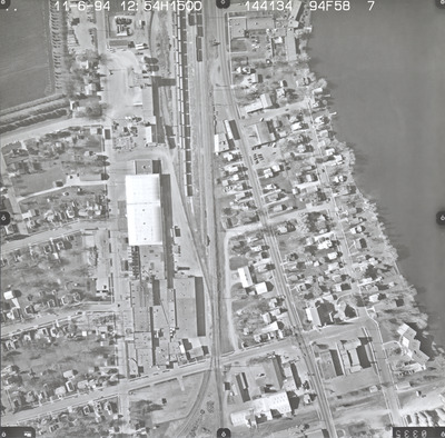
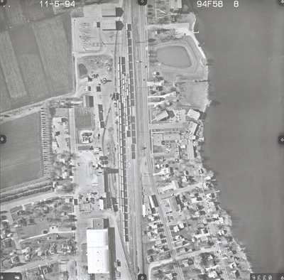
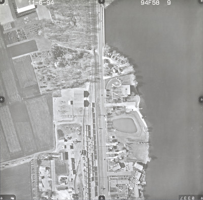
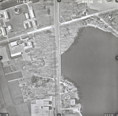
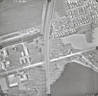
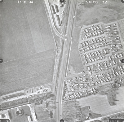
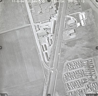
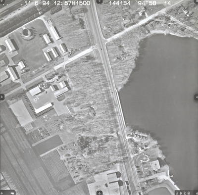
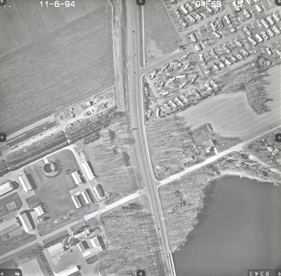
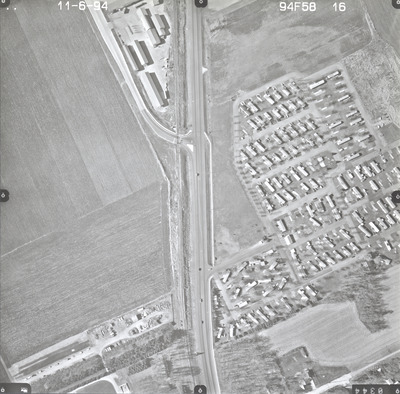
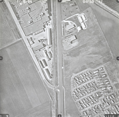
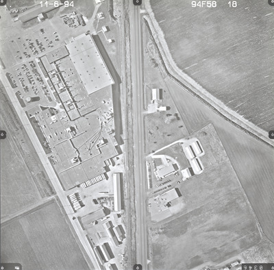
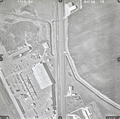
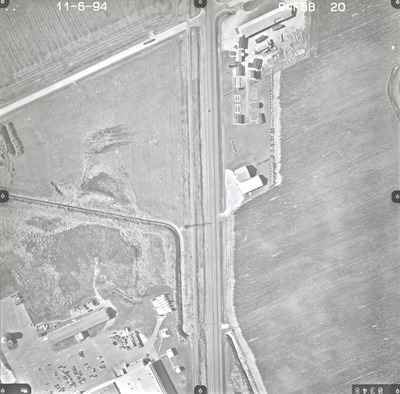
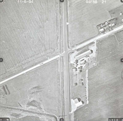
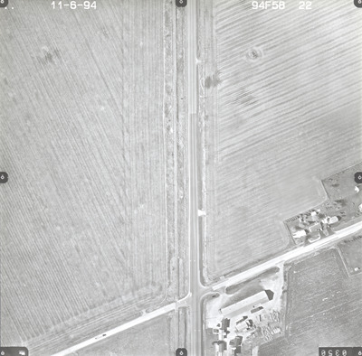
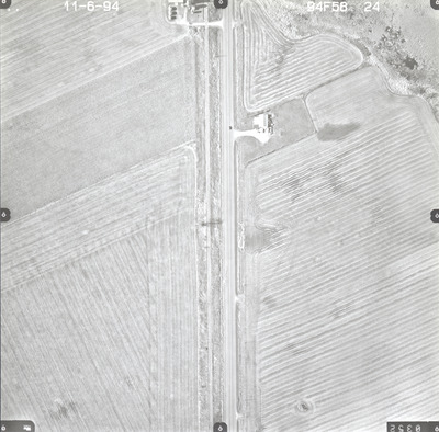
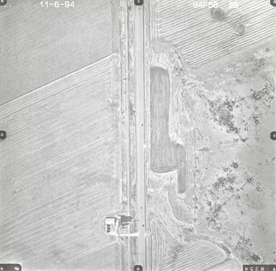
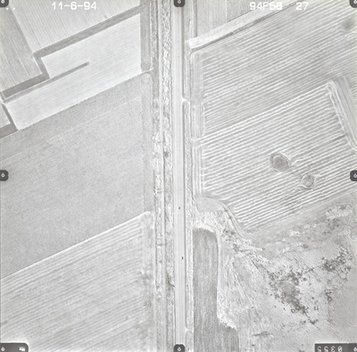
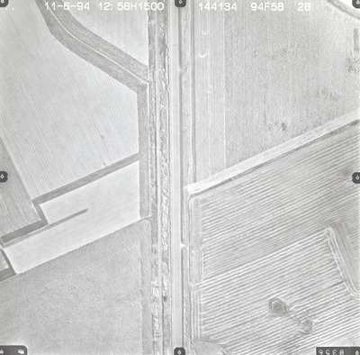
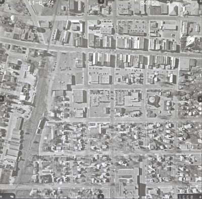
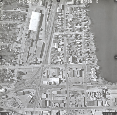
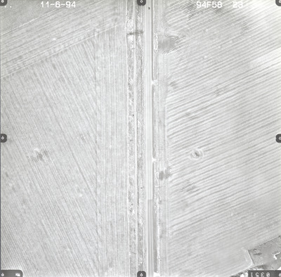
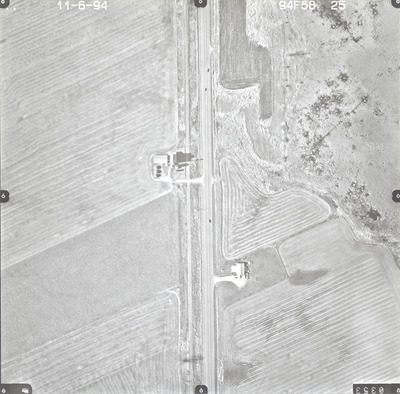
Aerial survey project no. 94F-58 was flown on November 6, 1994. These photos are a verbal scale of 1"=250'. The flight lines provide coverage for highway 14 and Waseca.

Printing is not supported at the primary Gallery Thumbnail page. Please first navigate to a specific Image before printing.

Follow

Switch View to List View Slideshow
 
  • 94F-58-21 by Horizons, Inc. Rapid City, South Dakota

    94F-58-21

  • 94F-58-22 by Horizons, Inc. Rapid City, South Dakota

    94F-58-22

  • 94F-58-23 by Horizons, Inc. Rapid City, South Dakota

    94F-58-23

  • 94F-58-24 by Horizons, Inc. Rapid City, South Dakota

    94F-58-24

  • 94F-58-25 by Horizons, Inc. Rapid City, South Dakota

    94F-58-25

  • 94F-58-26 by Horizons, Inc. Rapid City, South Dakota

    94F-58-26

  • 94F-58-27 by Horizons, Inc. Rapid City, South Dakota

    94F-58-27

  • 94F-58-28 by Horizons, Inc. Rapid City, South Dakota

    94F-58-28

 
  • 1
  • 2


Search

Advanced Search

  • Notify me via email or RSS

Author Corner

  • All Authors
  • Author FAQ
  • Submit Research

University Resources

  • Digital Exhibits
  • ARCH: University Archives Digital Collections
  • Library Services
  • Minnesota State University, Mankato
  • Contact Us
Minnesota State University Mankato Minnesota State
 
Elsevier - Digital Commons

Home | About | FAQ | My Account | Accessibility Statement

Privacy Copyright