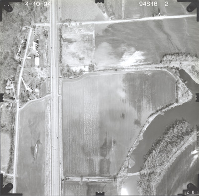
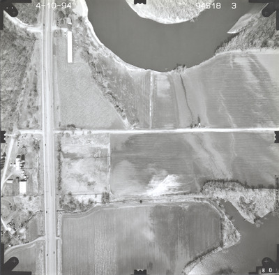
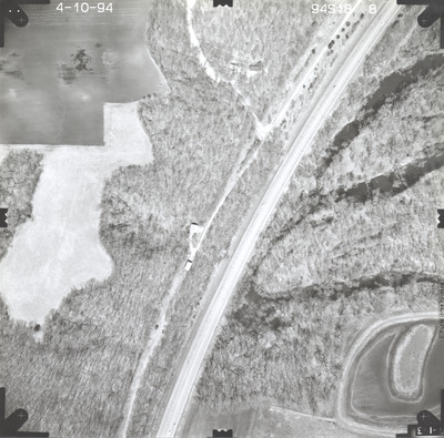
Aerial survey project no. 94S-18 was flown on April 10, 1994. These photos are a verbal scale of 1"=250'. The flight line follows a north-south direction and provides coverage for highway 169 and the Minnesota River 4 miles south of St. Peter.


Aerial survey project no. 94S-18 was flown on April 10, 1994. These photos are a verbal scale of 1"=250'. The flight line follows a north-south direction and provides coverage for highway 169 and the Minnesota River 4 miles south of St. Peter.


