

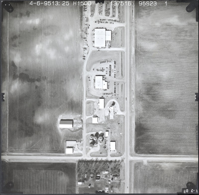
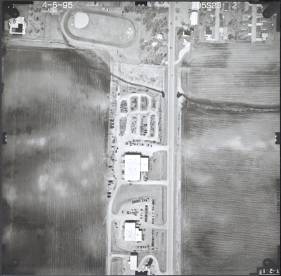
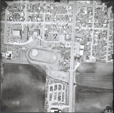
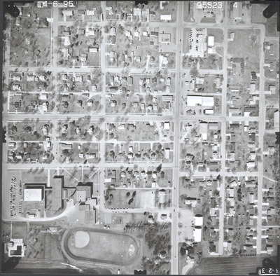
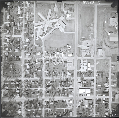
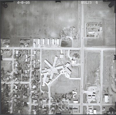
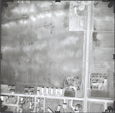
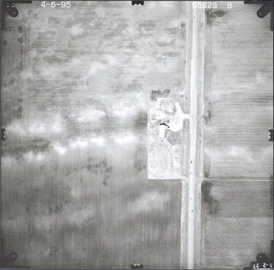
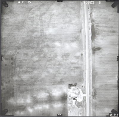
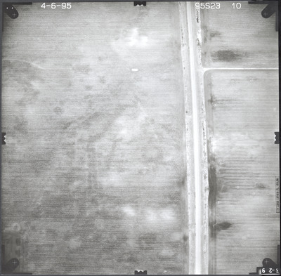
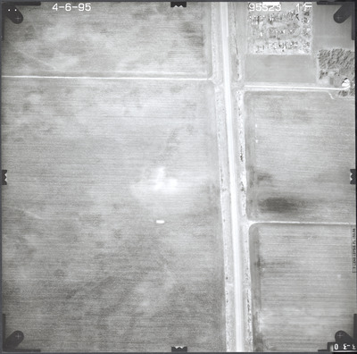
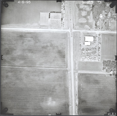
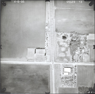
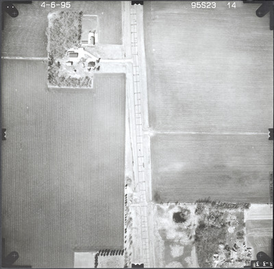
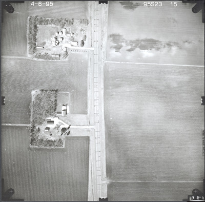
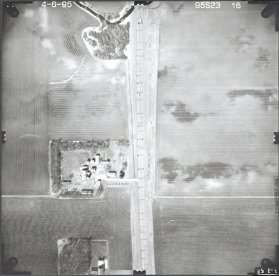
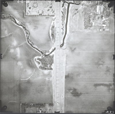
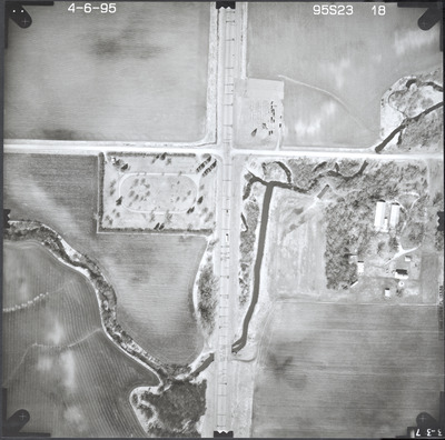
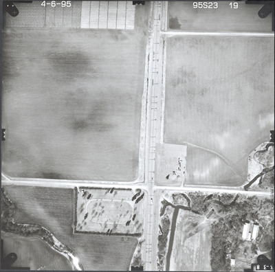
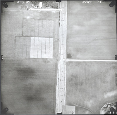
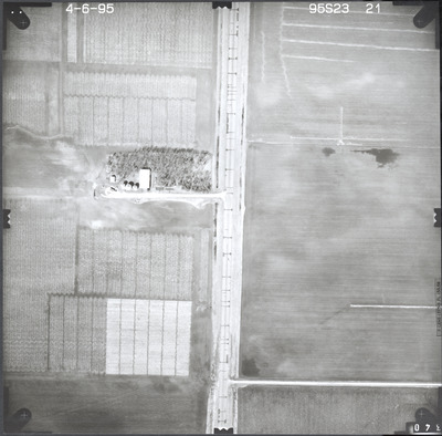
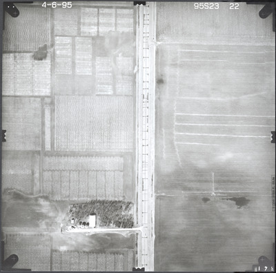
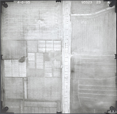
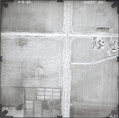
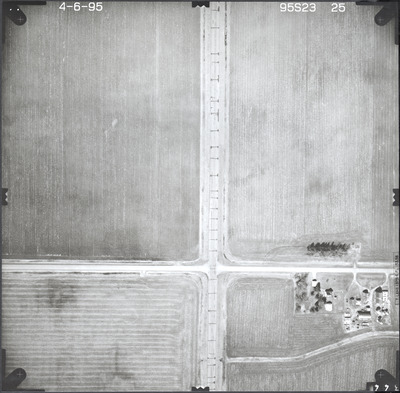
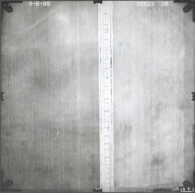
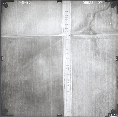
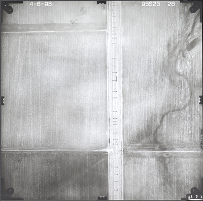
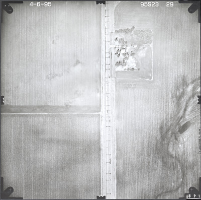
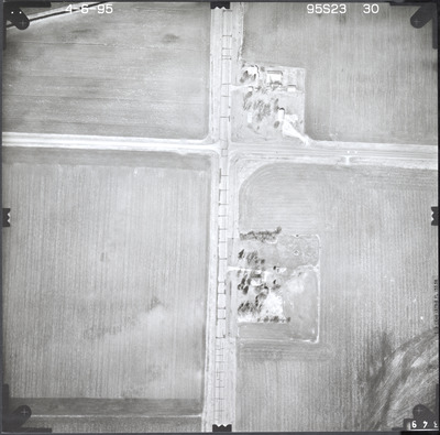
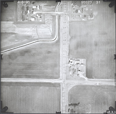
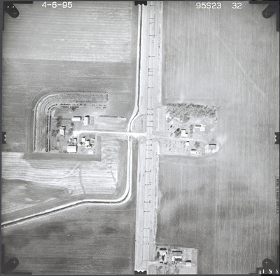
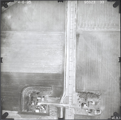
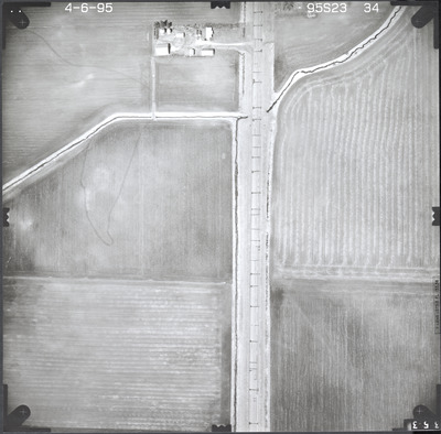
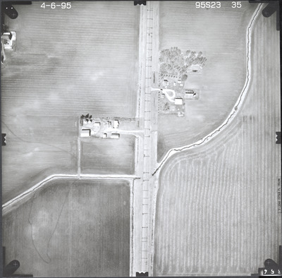
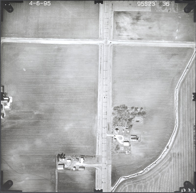
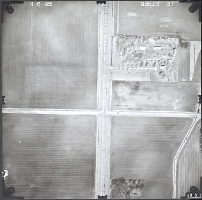
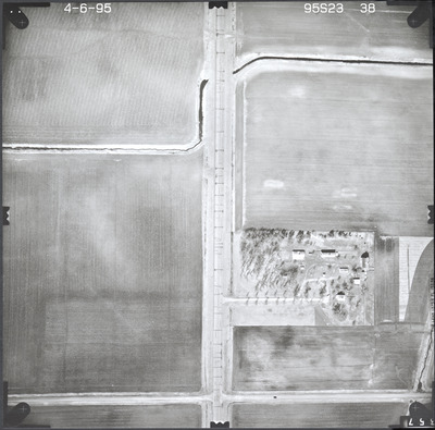
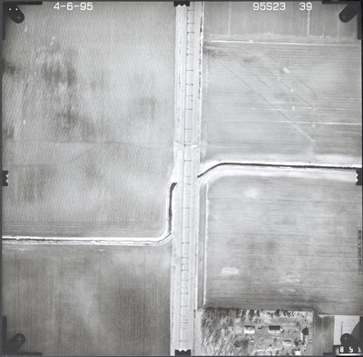
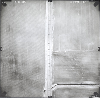
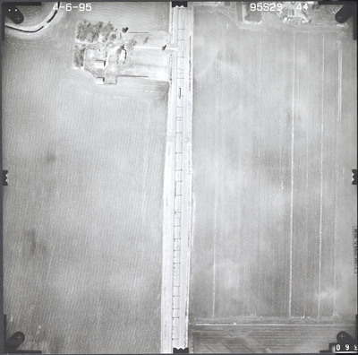
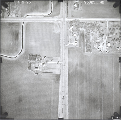
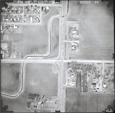
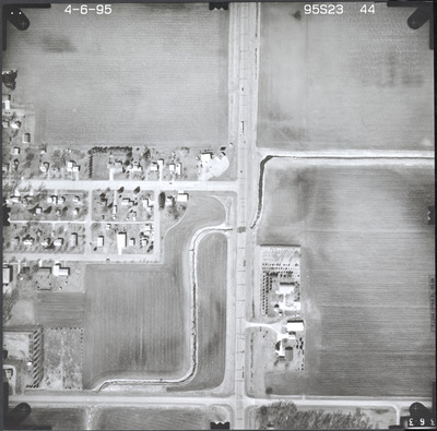
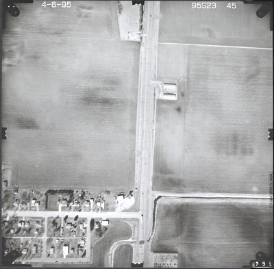
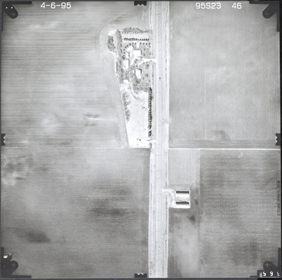
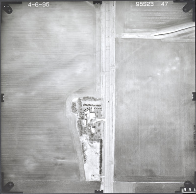
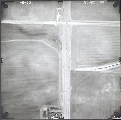
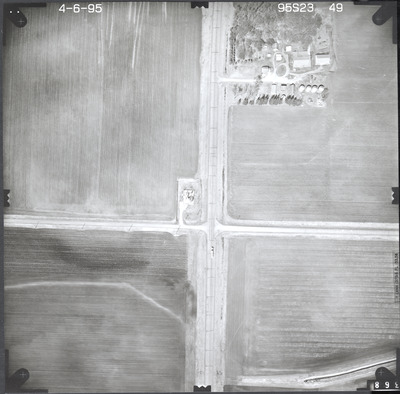
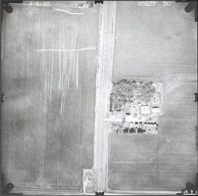
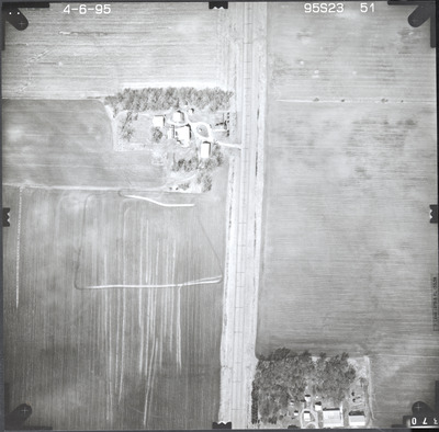
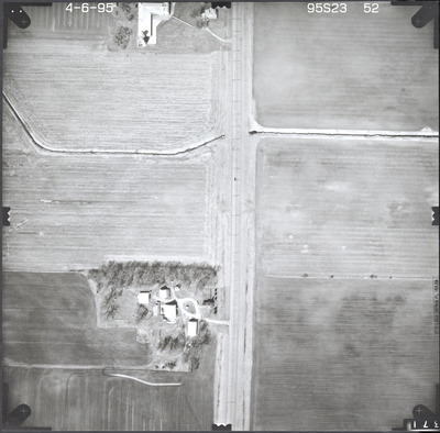
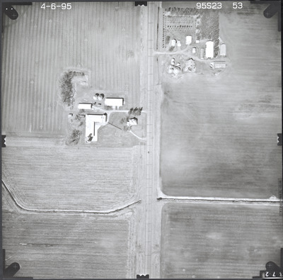
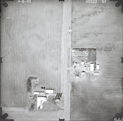
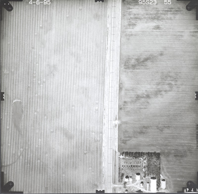
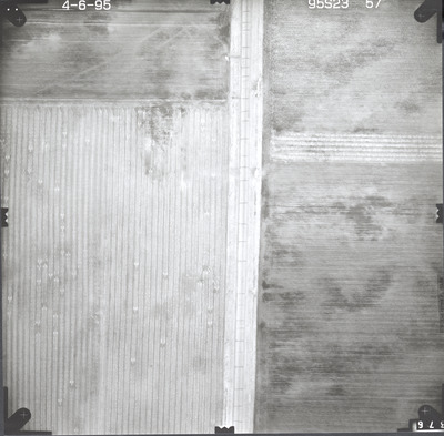
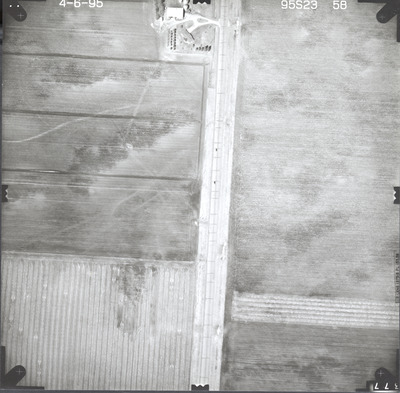
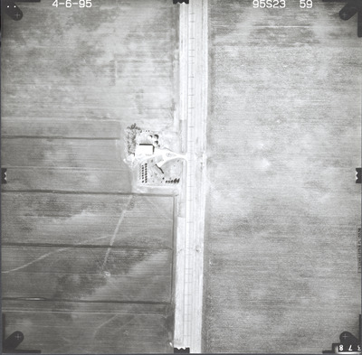
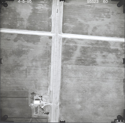
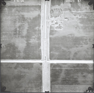
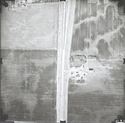
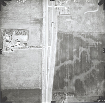
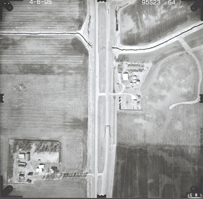
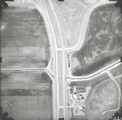
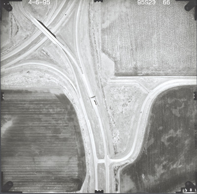
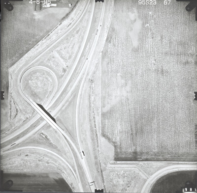
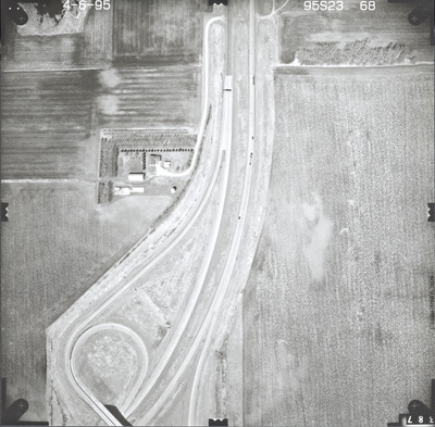
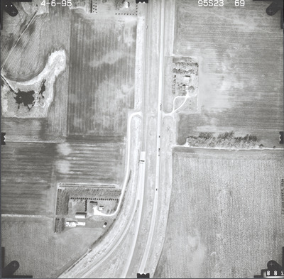
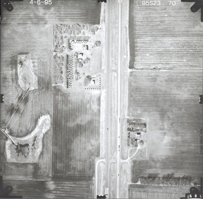
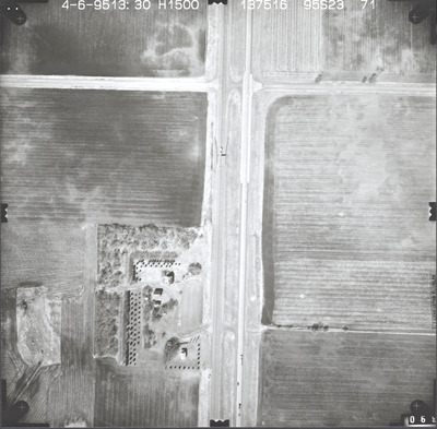
Aerial survey project no. 95S-23 was flown on April 6, 1995. These photos are a verbal scale of 1"=250'. The flight line follows a north-south direction and provides coverage for highway 15 from Truman to Ten Mile Corne and the junction with highway 60.


