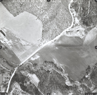
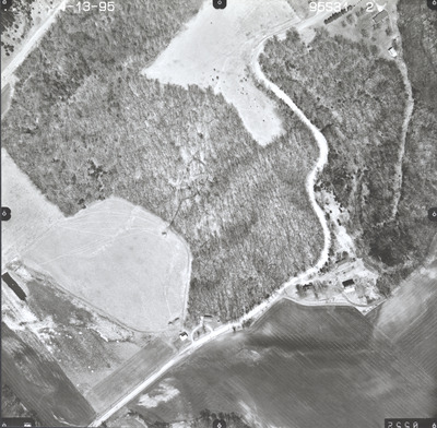
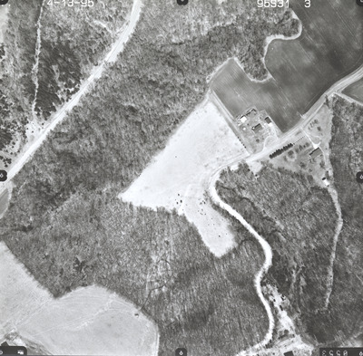
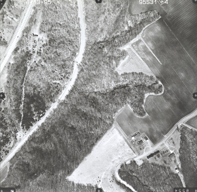
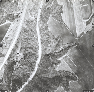
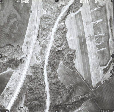
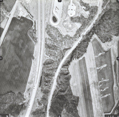
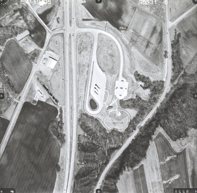
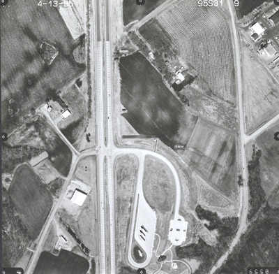
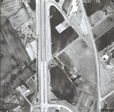
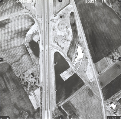
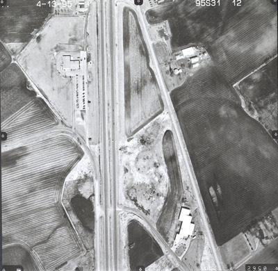
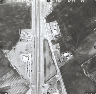
Aerial survey project no. 95S-31 was flown on April 13, 1995. These photos are a verbal scale of 1"=250'. The flight line provides coverage for highway 169 and the rest area northeast of Le Sueur.


Aerial survey project no. 95S-31 was flown on April 13, 1995. These photos are a verbal scale of 1"=250'. The flight line provides coverage for highway 169 and the rest area northeast of Le Sueur.


