

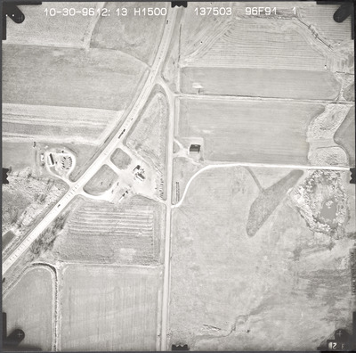
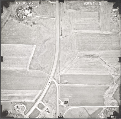
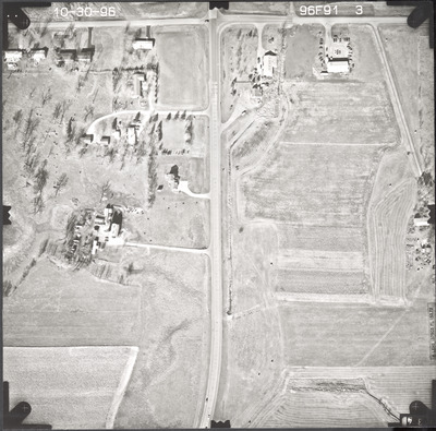
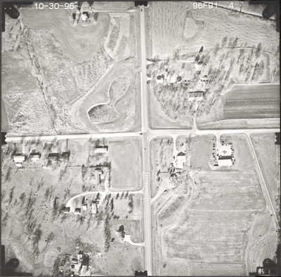
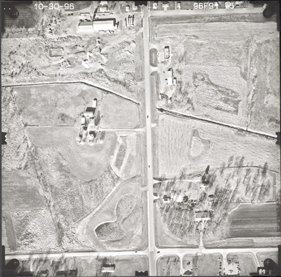
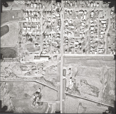
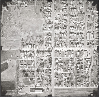
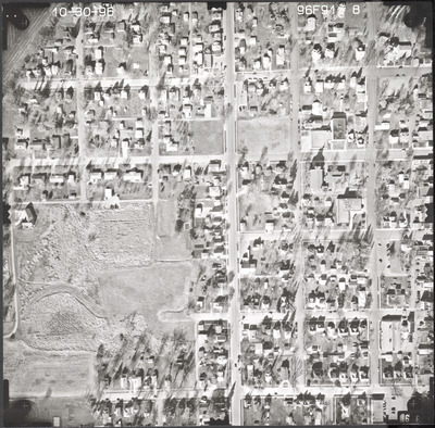
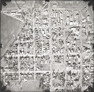
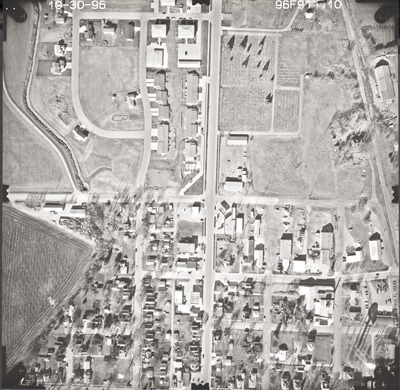
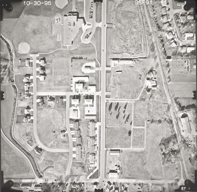
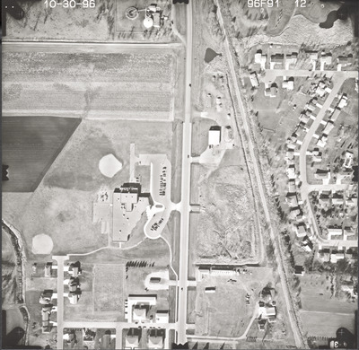
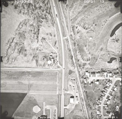
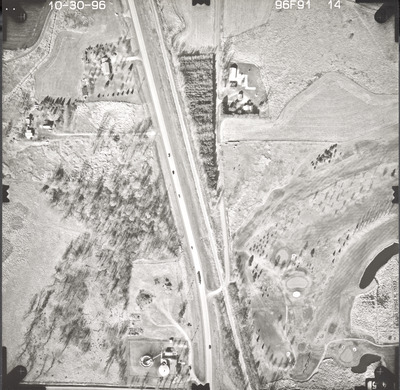
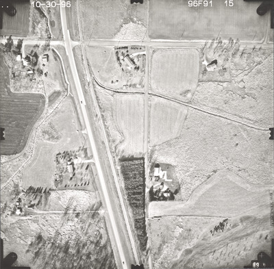
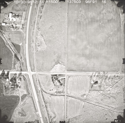
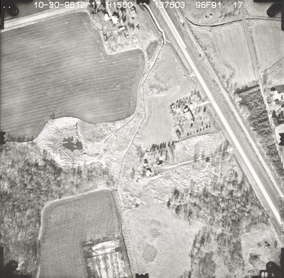
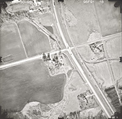
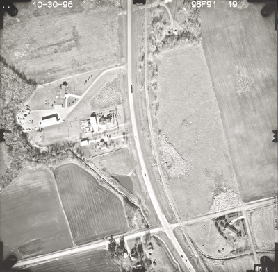
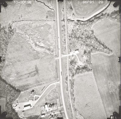
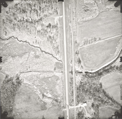
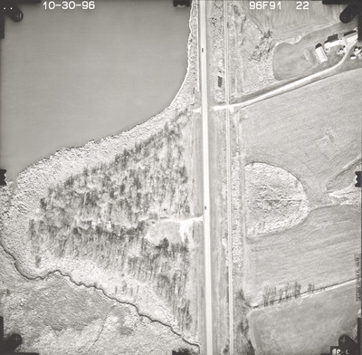
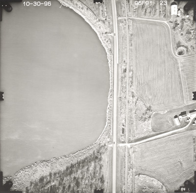
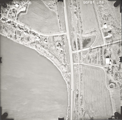
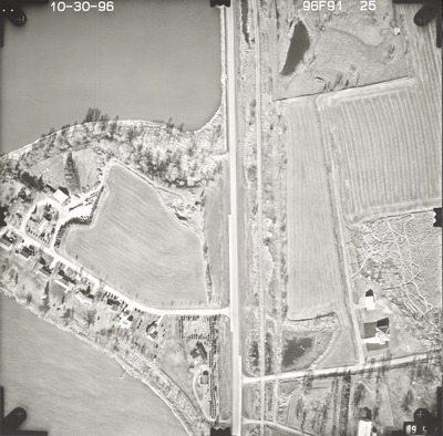
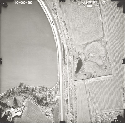
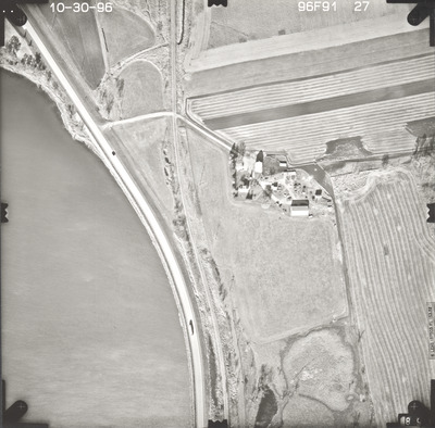
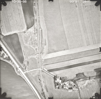
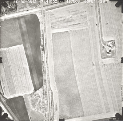
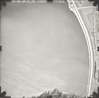
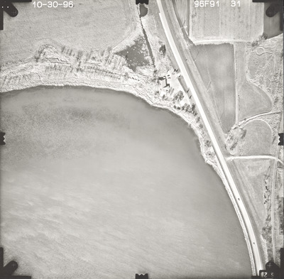
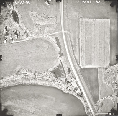
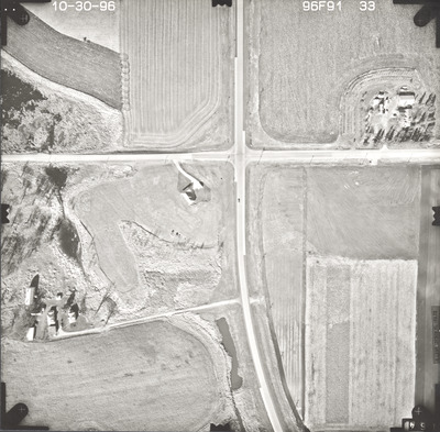
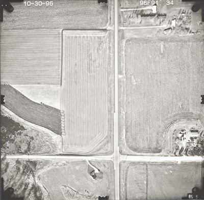
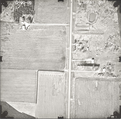
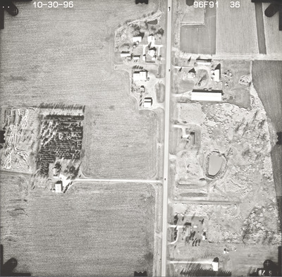
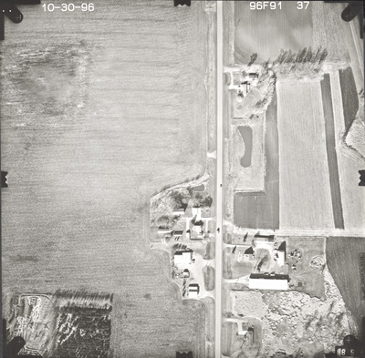
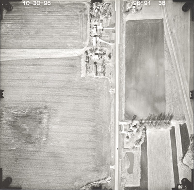
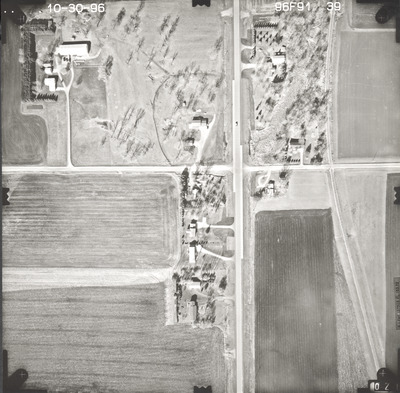
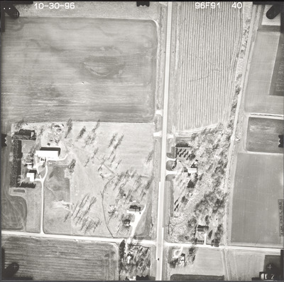
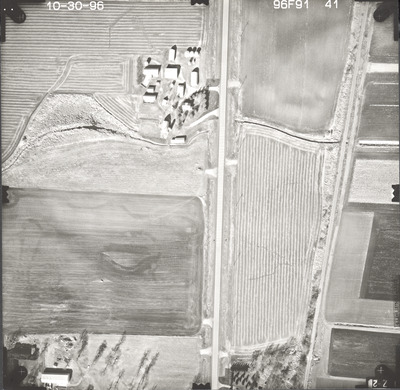
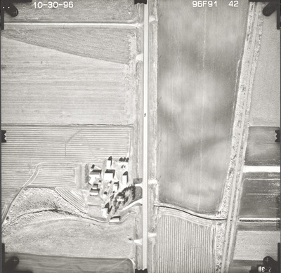
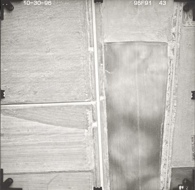
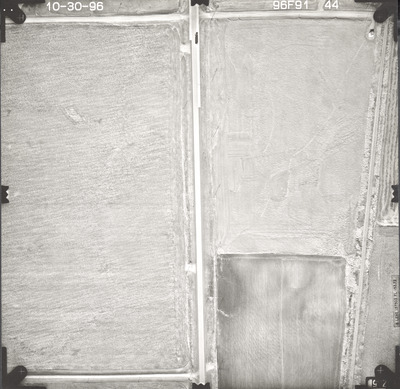
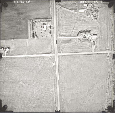
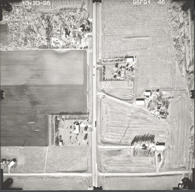
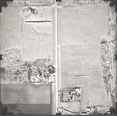
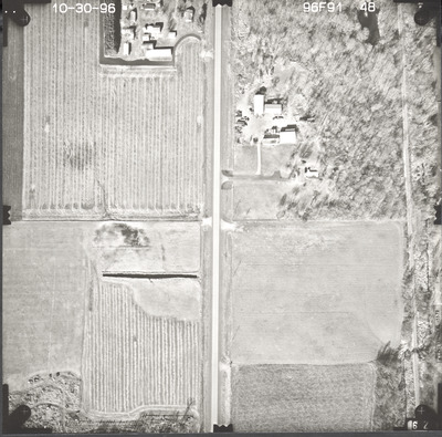
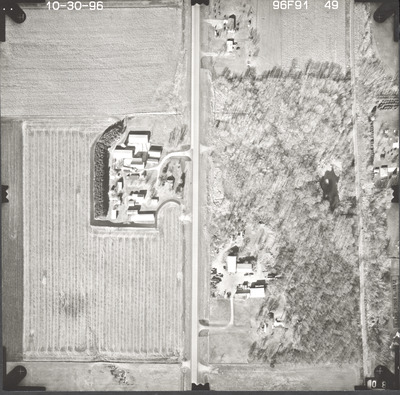
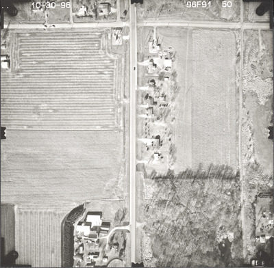
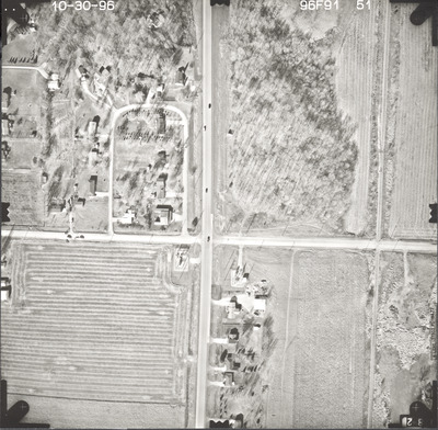
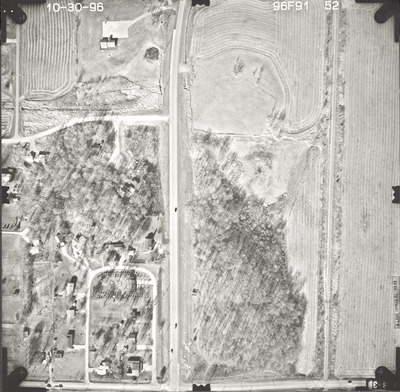
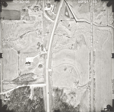
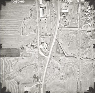
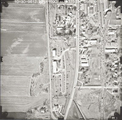
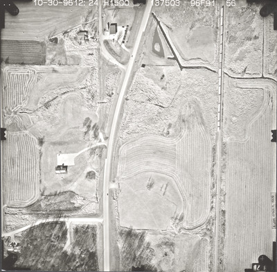
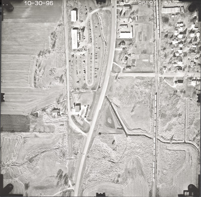
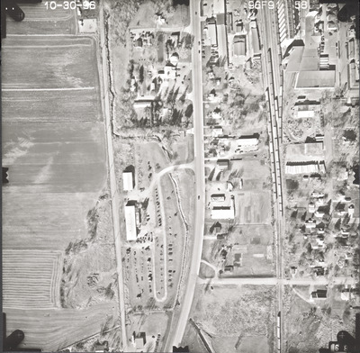
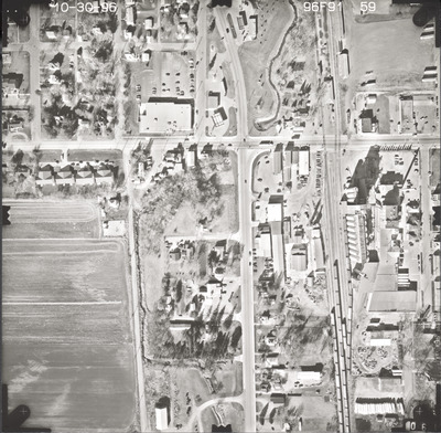
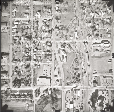
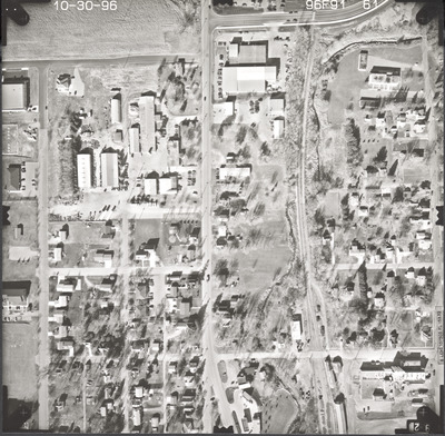
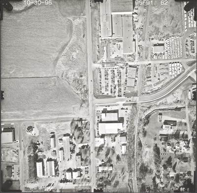
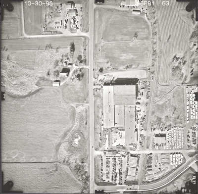
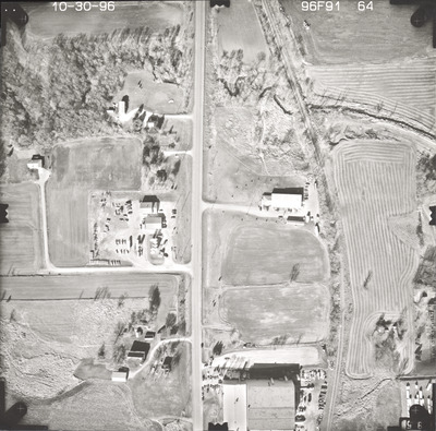
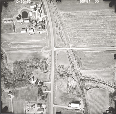
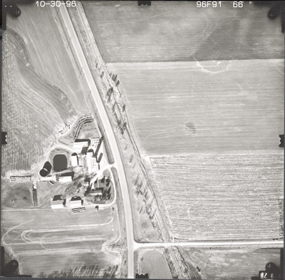
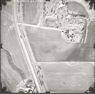
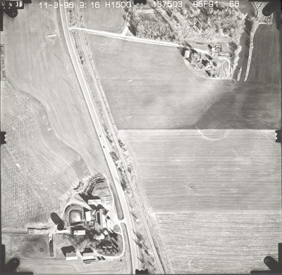
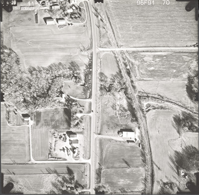
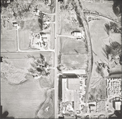
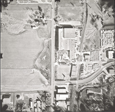
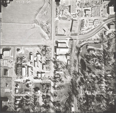
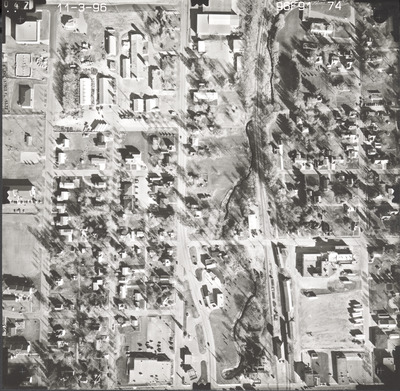
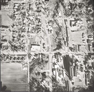
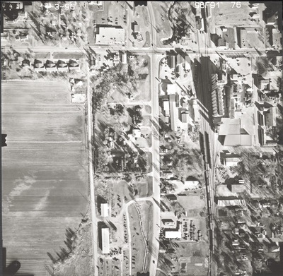
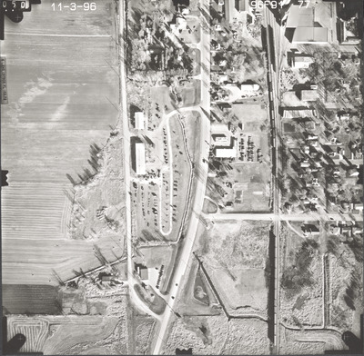
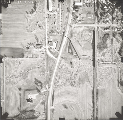
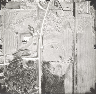
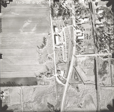
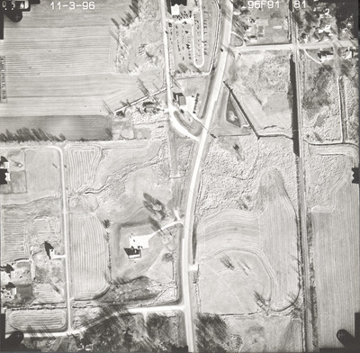
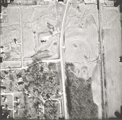
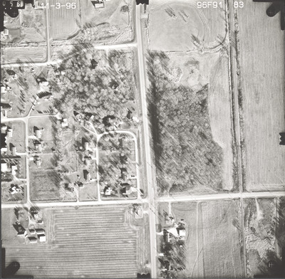
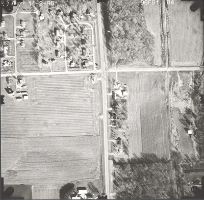
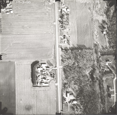
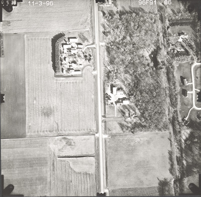
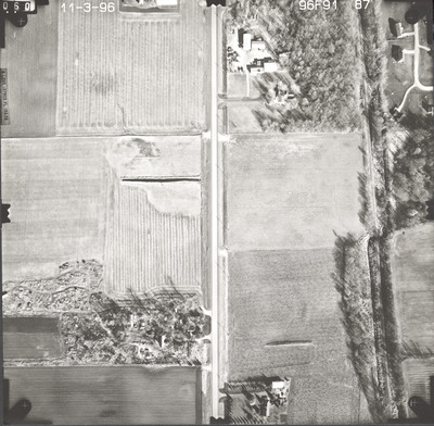
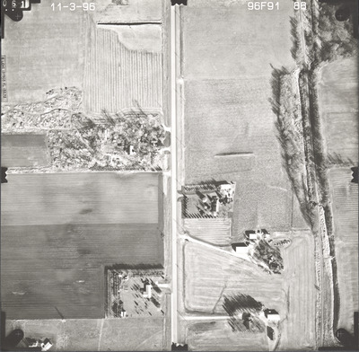
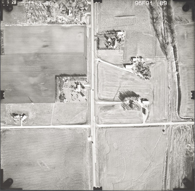
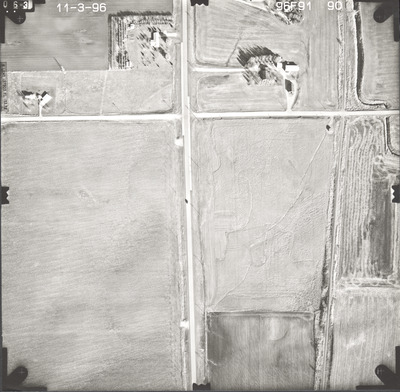
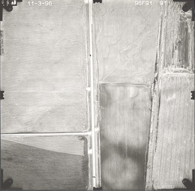
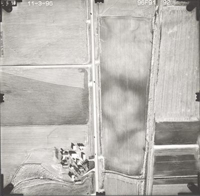
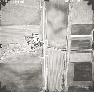
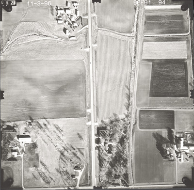
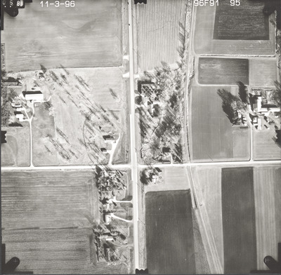
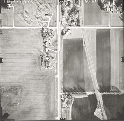
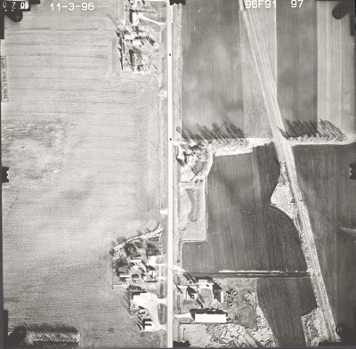
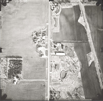
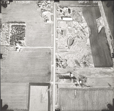
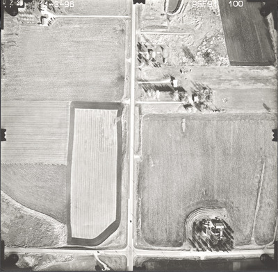
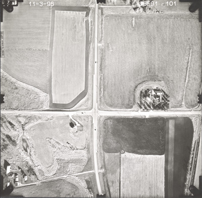
Aerial survey project no. 96F-91 was flown on October 30 and November 3, 1996. These photos are a verbal scale of 1"=250'. The flight lines follow a north-south direction and provide coverage for highway 13 from Montgomery to New Prague.
Printing is not supported at the primary Gallery Thumbnail page. Please first navigate to a specific Image before printing.


