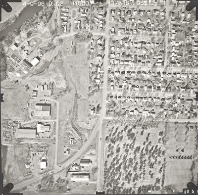
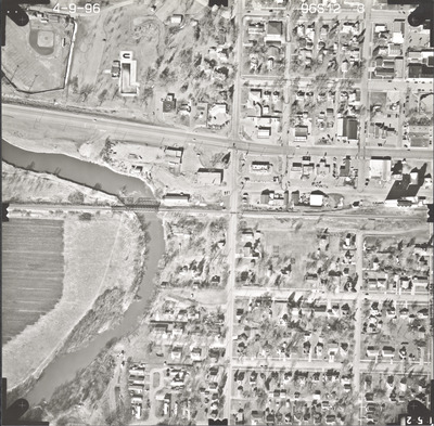
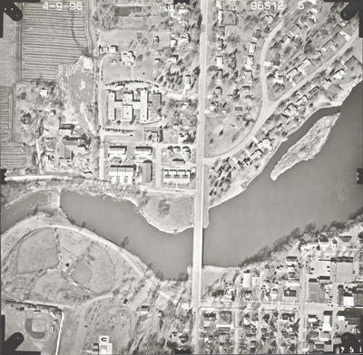
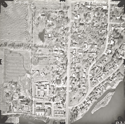
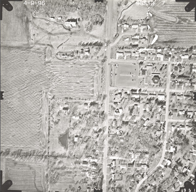
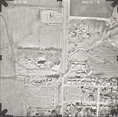
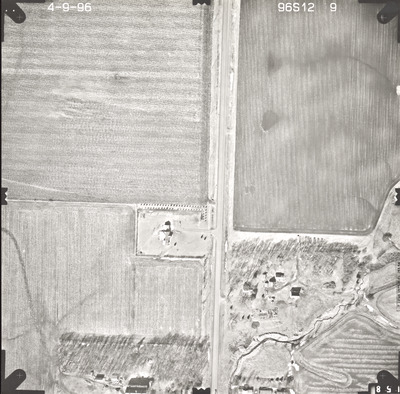
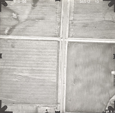
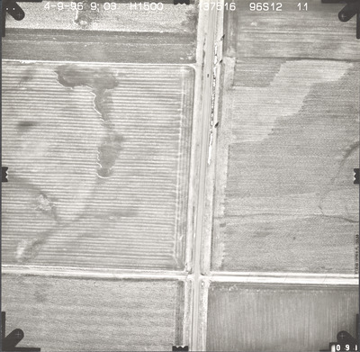
Aerial survey project no. 96S-12 was flown on April 9, 1996. These photos are a verbal scale of 1"=250'. The flight line follows an east-west direction and provides coverage for highway 62 and Windom.


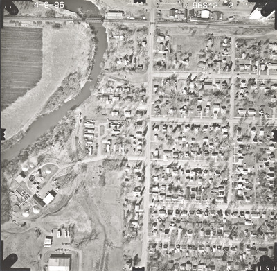
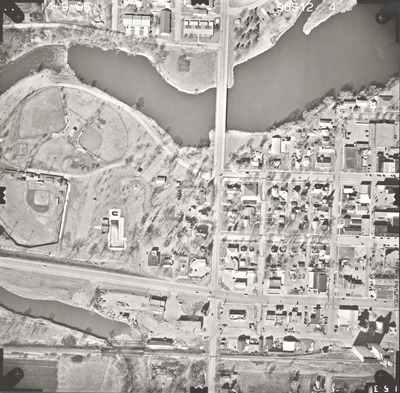
Aerial survey project no. 96S-12 was flown on April 9, 1996. These photos are a verbal scale of 1"=250'. The flight line follows an east-west direction and provides coverage for highway 62 and Windom.


