

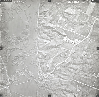
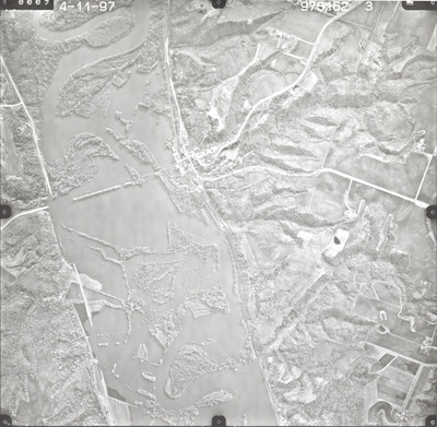
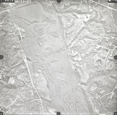
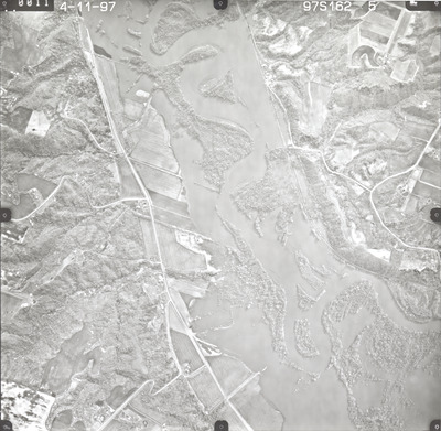
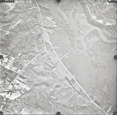
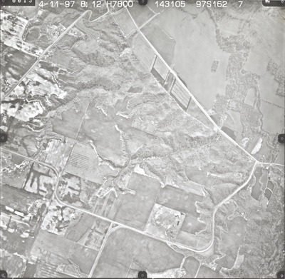
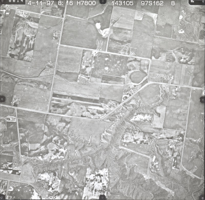
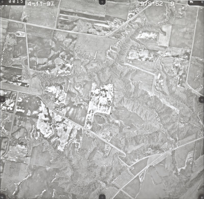
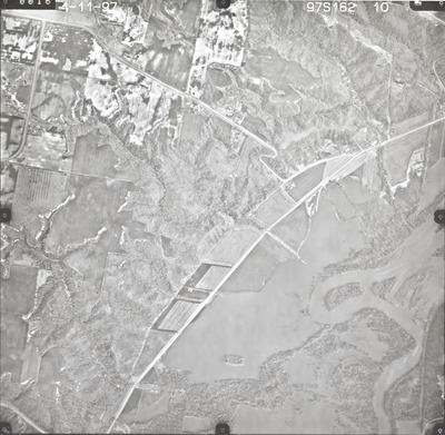
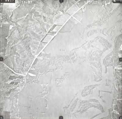
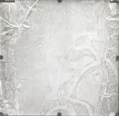
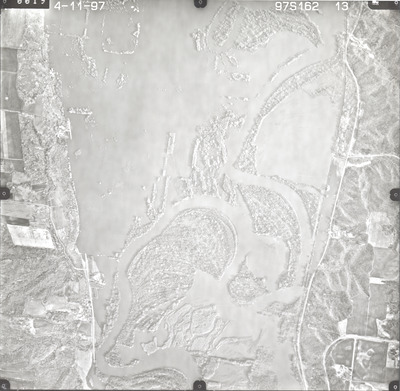
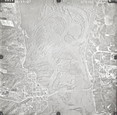
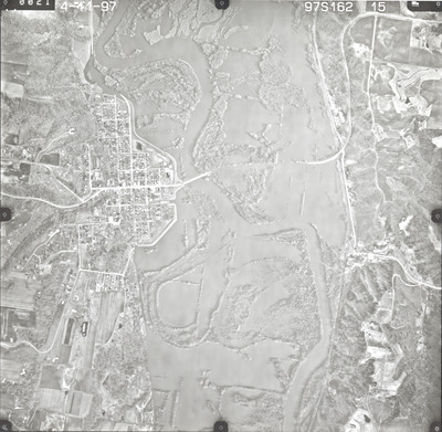
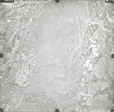
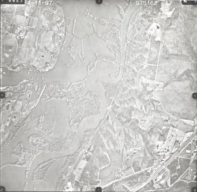
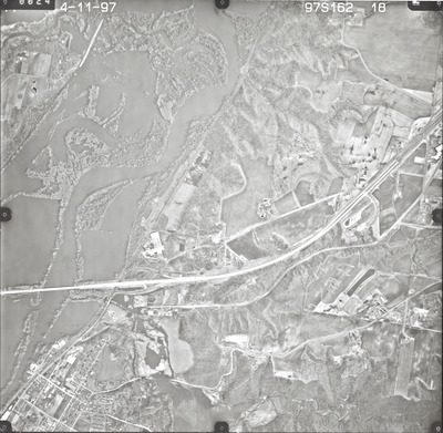
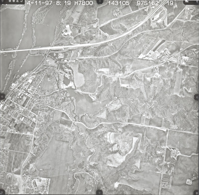
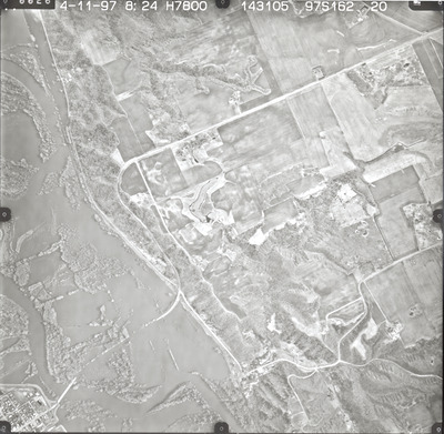
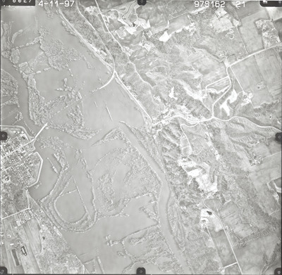
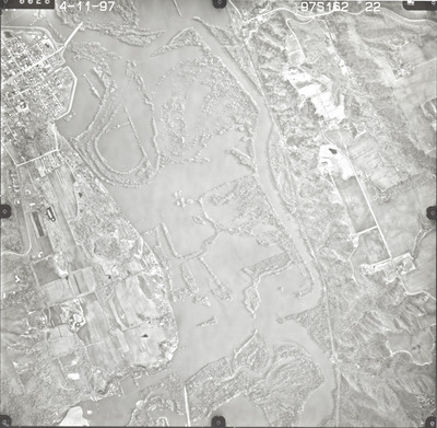
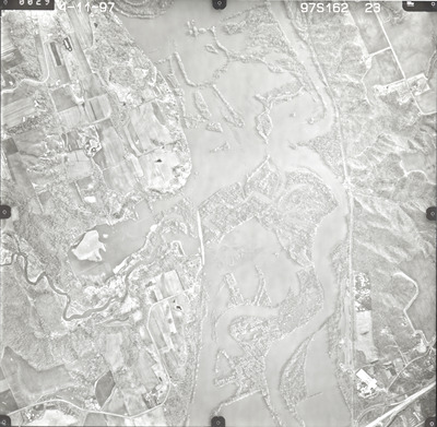
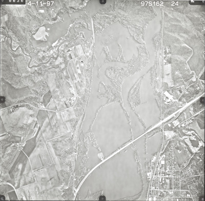
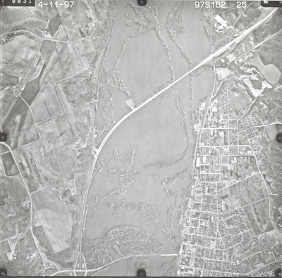
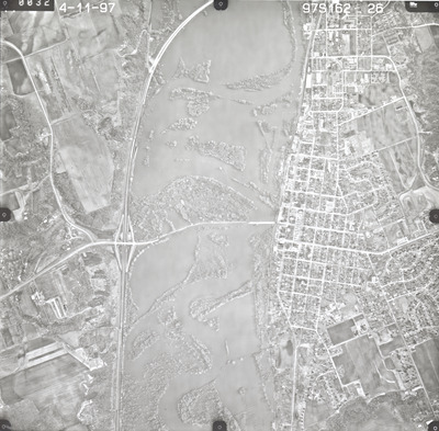
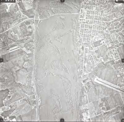
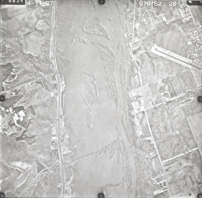
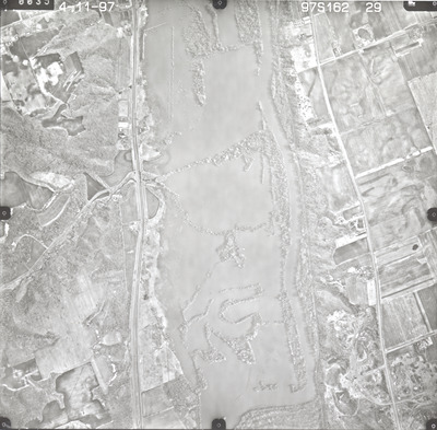
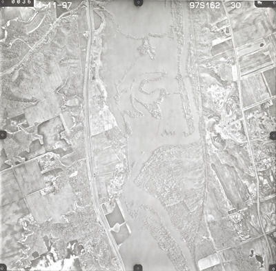
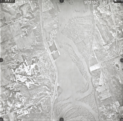
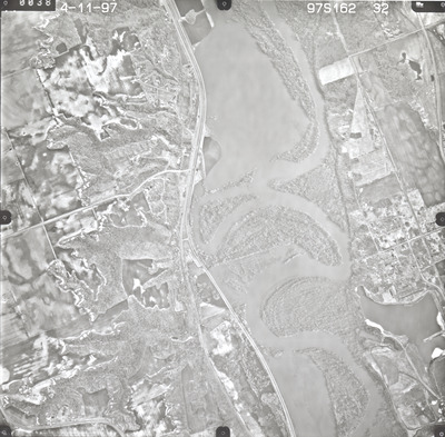
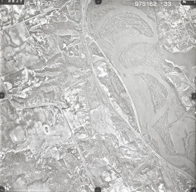
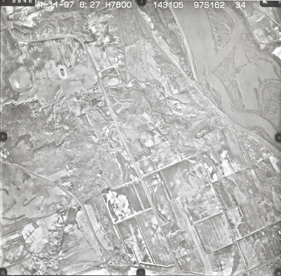
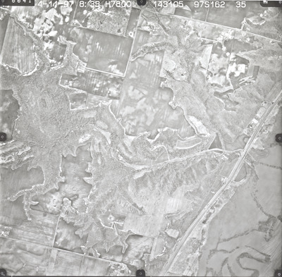
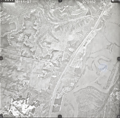
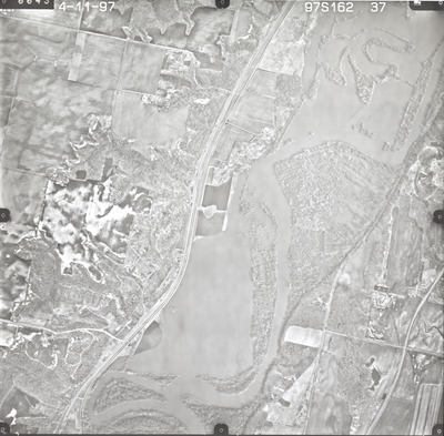
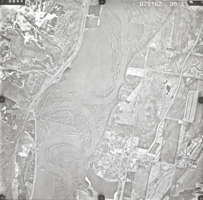
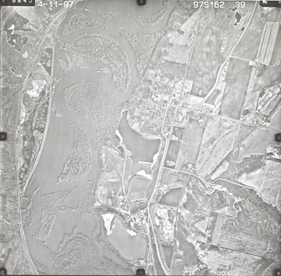
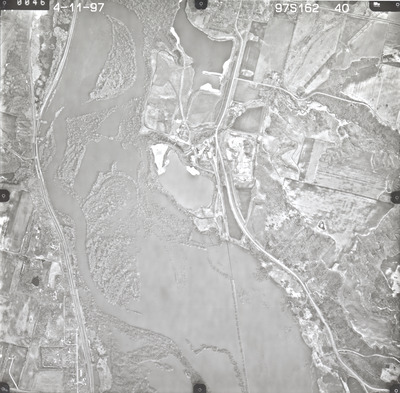
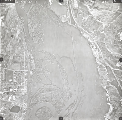
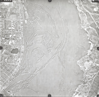
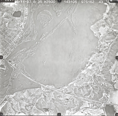
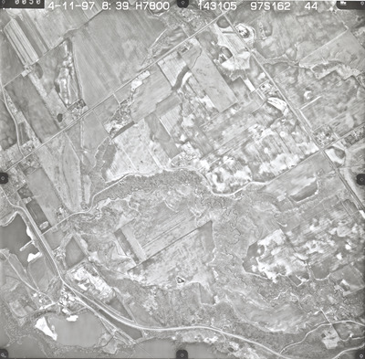
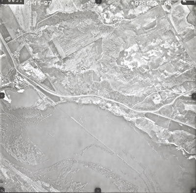
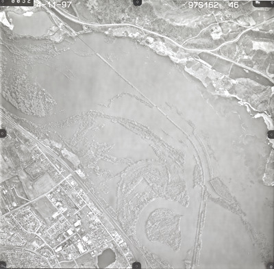
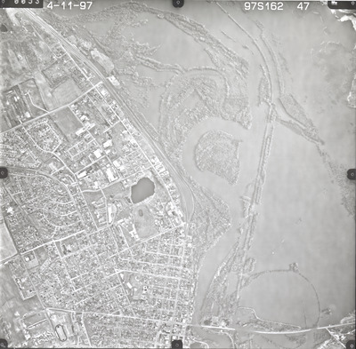
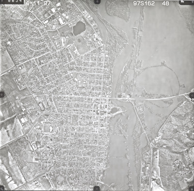
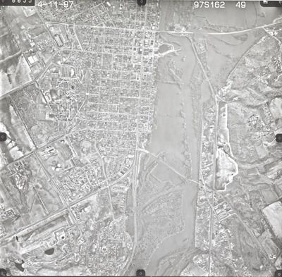
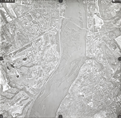
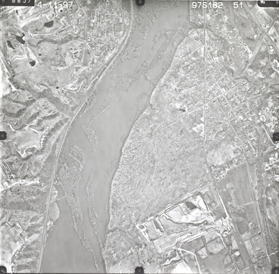
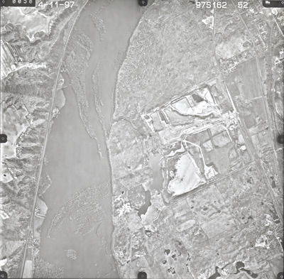
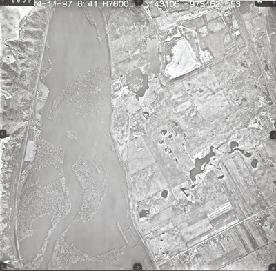
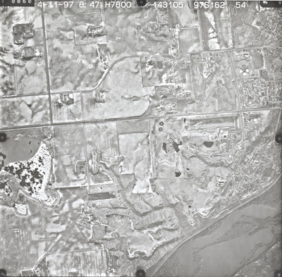
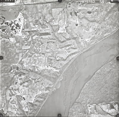
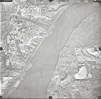
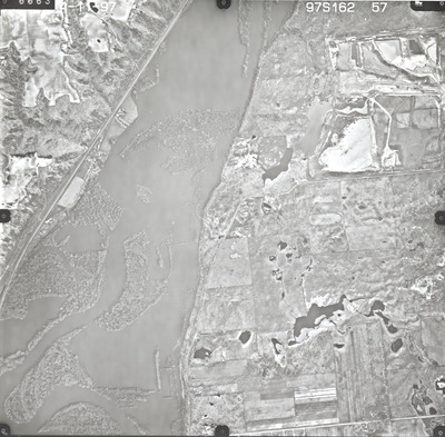
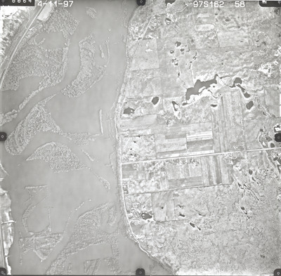
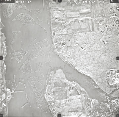
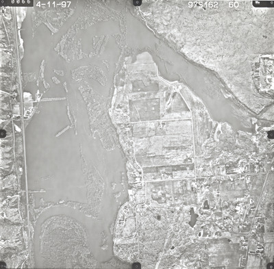
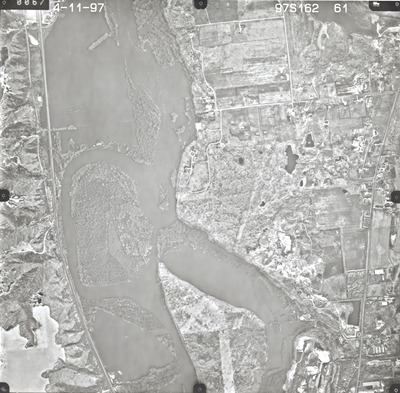
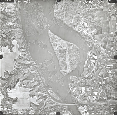
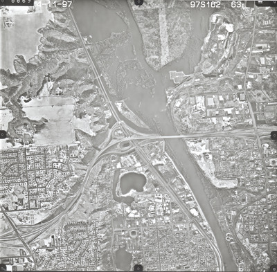
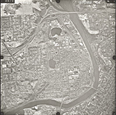
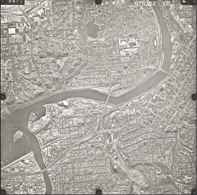
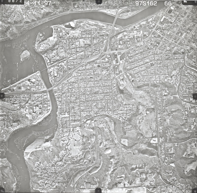
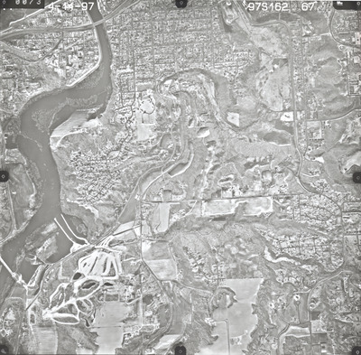
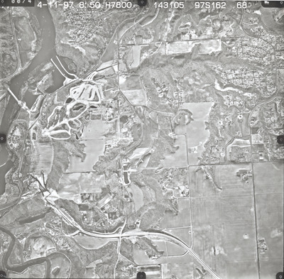
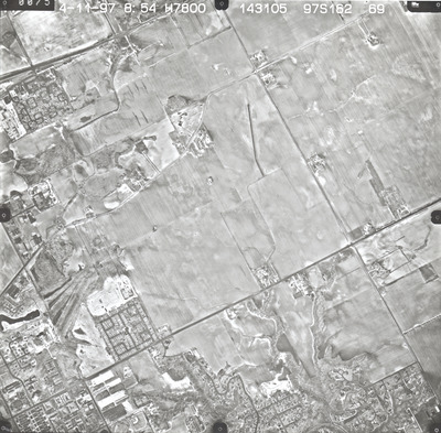
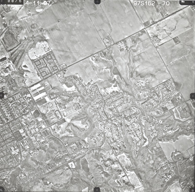
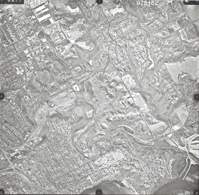
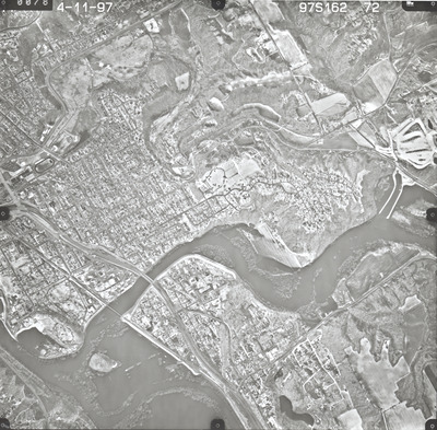
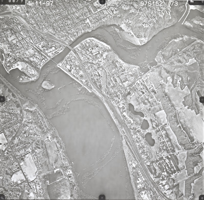
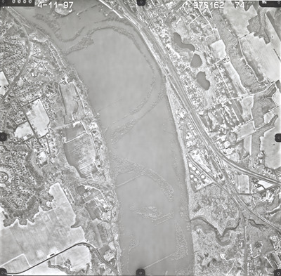
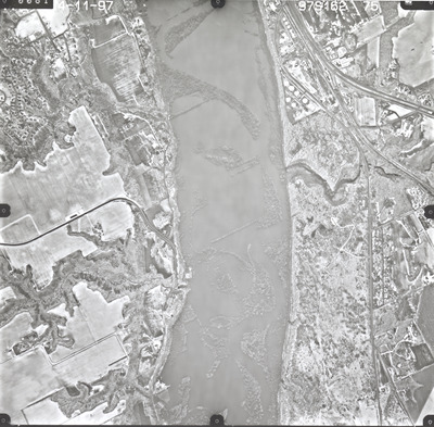
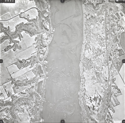
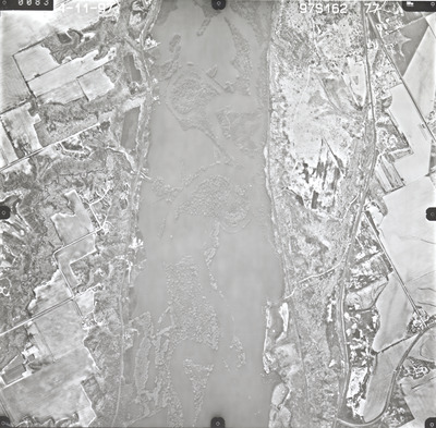
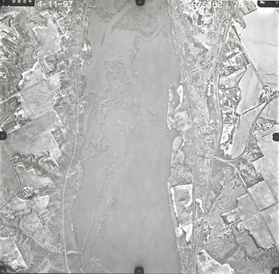
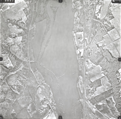
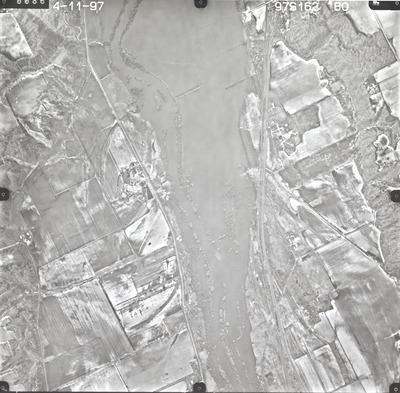
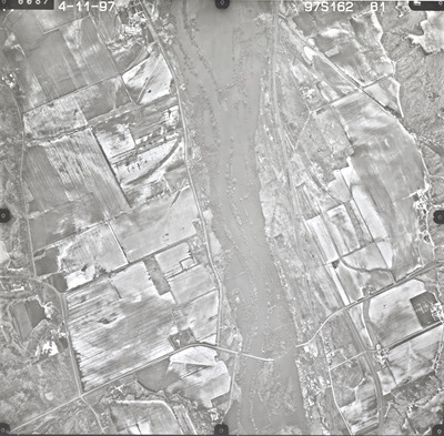
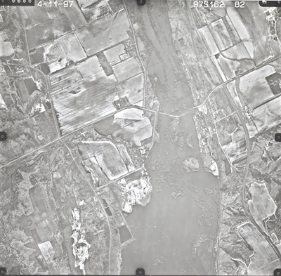
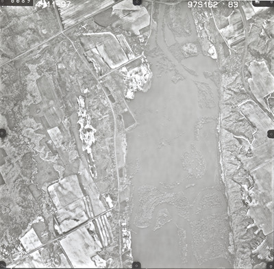
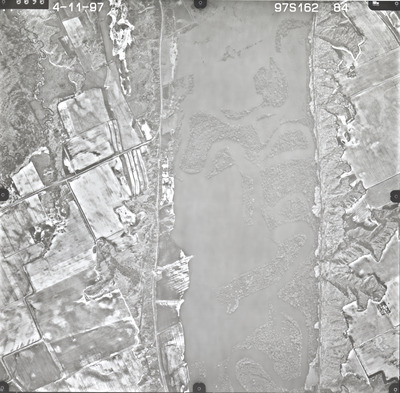
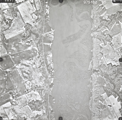
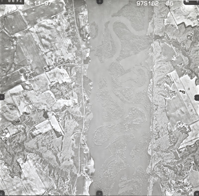
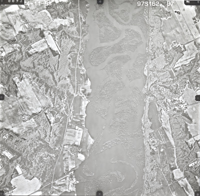
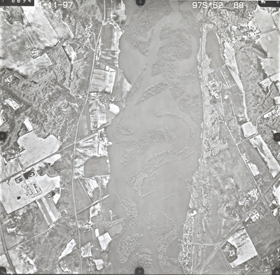
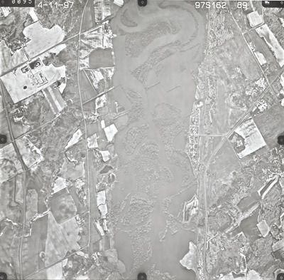
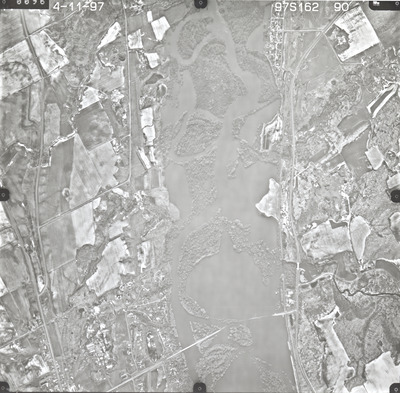
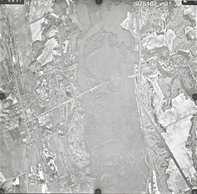
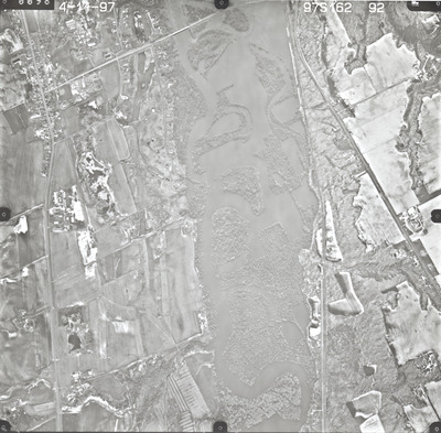
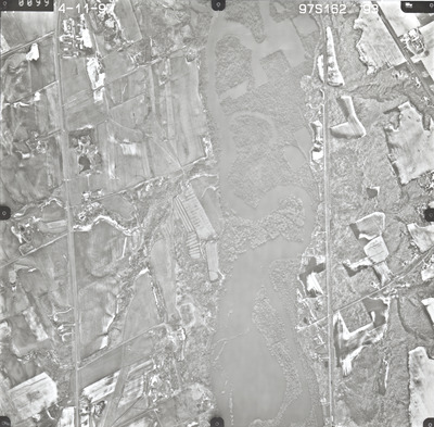
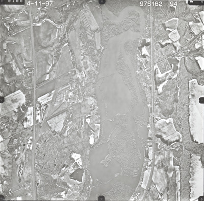
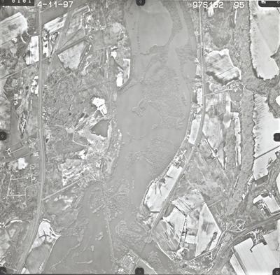
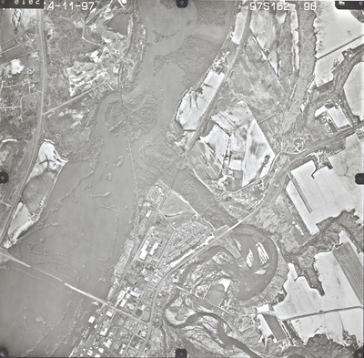
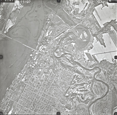
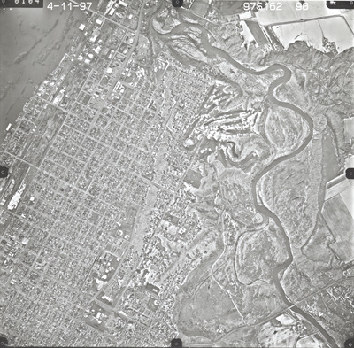
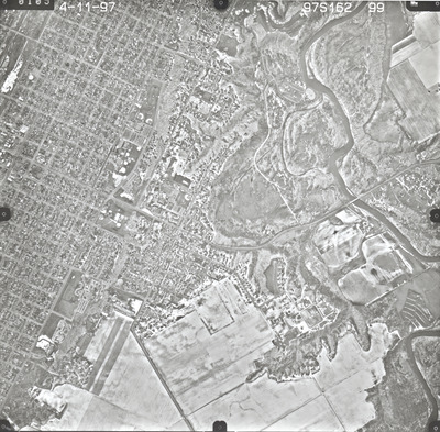
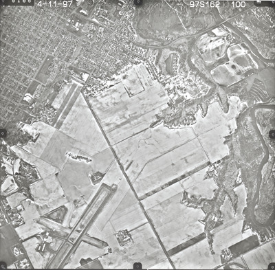
Aerial survey project no. 97S-162 was flown on April 11, 1997. These photos are a verbal scale of 1"=1320'. The flight lines provide coverage for a flood assessment of the Minnesota River from Belle Plaine to New Ulm. These photos, unlike ASP No. 97S-160, do not include cloud cover.
Printing is not supported at the primary Gallery Thumbnail page. Please first navigate to a specific Image before printing.


