

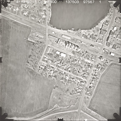
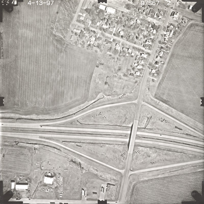
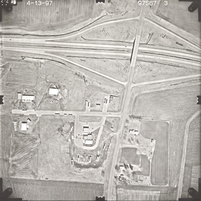
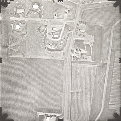
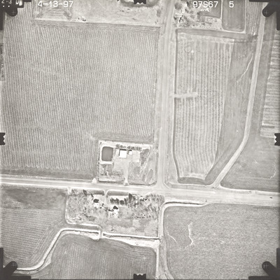
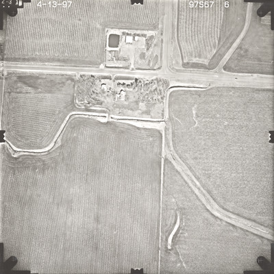
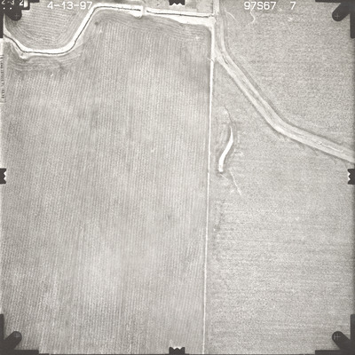
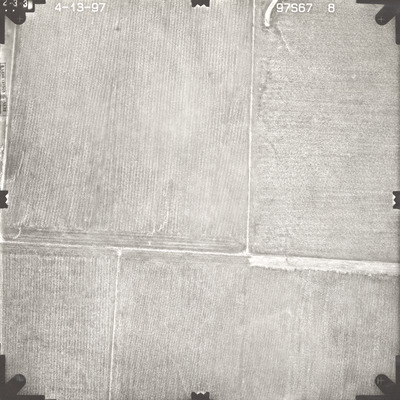
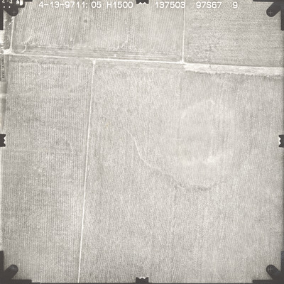
Aerial survey project no. 97S-67 was flown on April 13, 1997. These photos are a verbal scale of 1"=250'. The flight line follows a north-south direction and provides coverage for highway 6 and Alden. The index states a flight date of April 14, 1997 but the photos indicate April 13, 1997.


