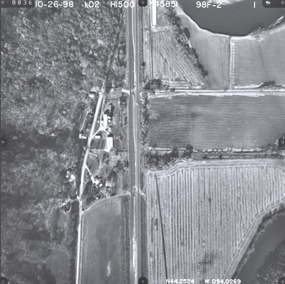
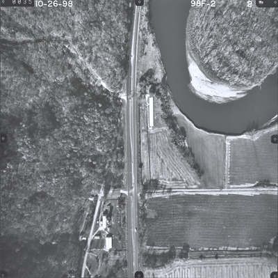
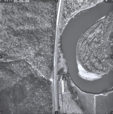
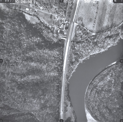
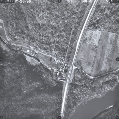
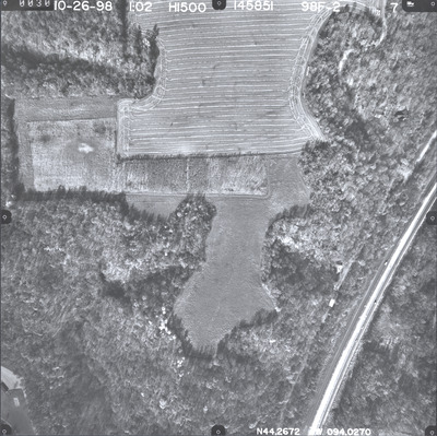
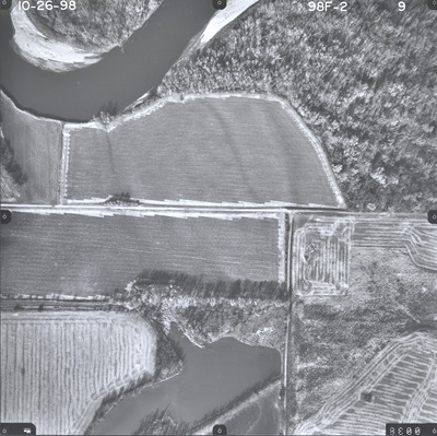
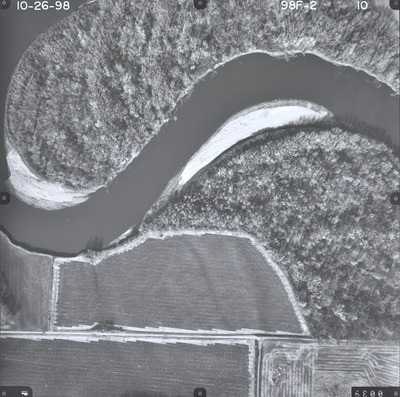
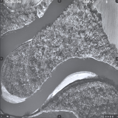
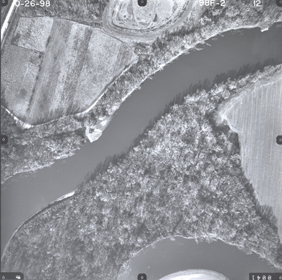
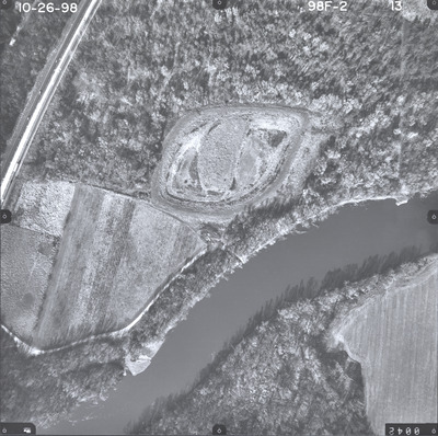
Aerial survey project no. 98F-2 was flown on October 26, 1998. These photos are a verbal scale of 1"=250'. The flight lines follow a north-south direction and provide coverage for highway 169 and the Sevenmile Creek area south of St. Peter.


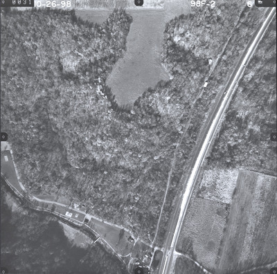
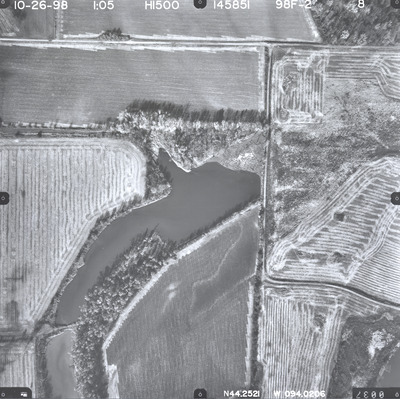
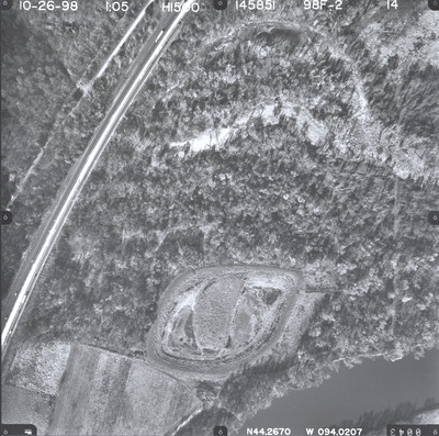
Aerial survey project no. 98F-2 was flown on October 26, 1998. These photos are a verbal scale of 1"=250'. The flight lines follow a north-south direction and provide coverage for highway 169 and the Sevenmile Creek area south of St. Peter.


