

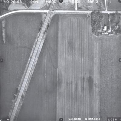
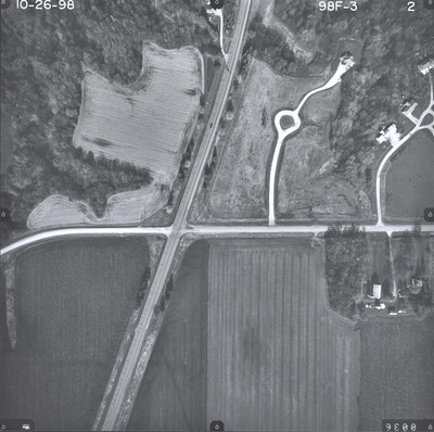
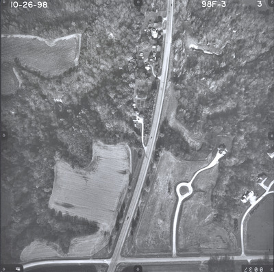
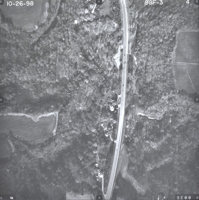
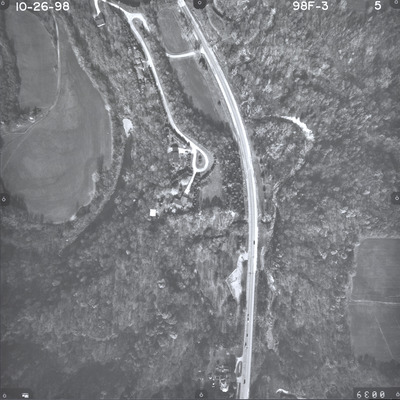
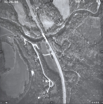
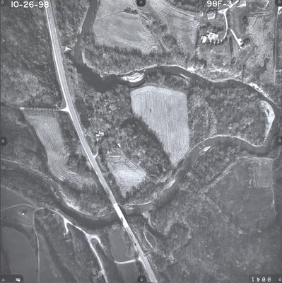
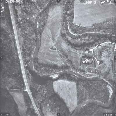
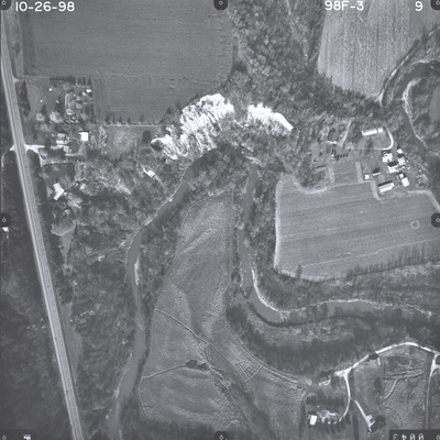
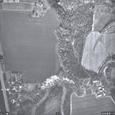
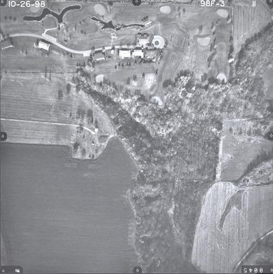
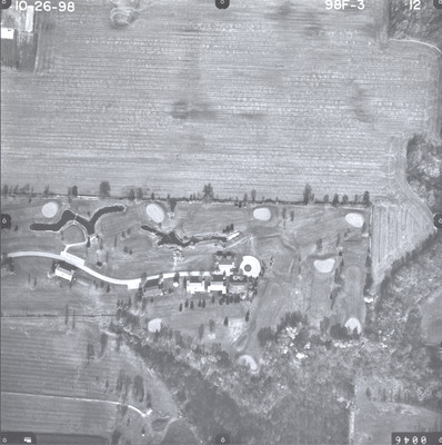
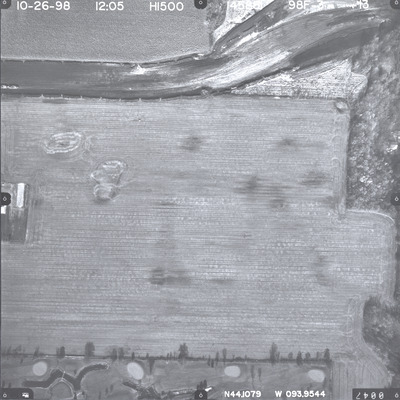
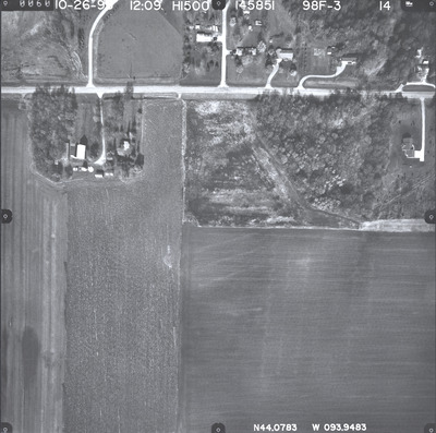
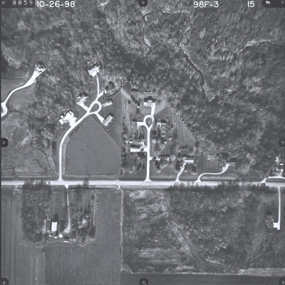
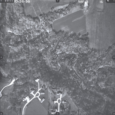
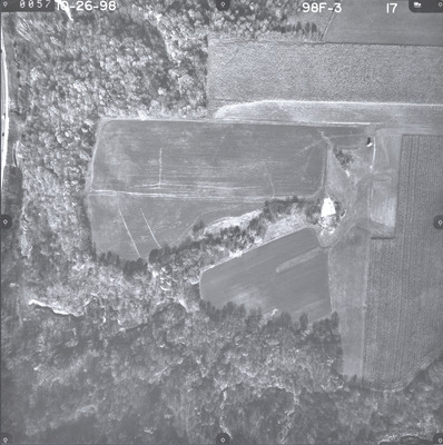
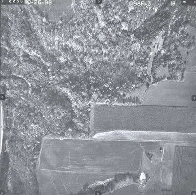
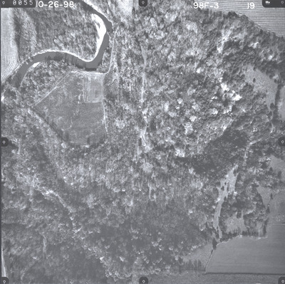
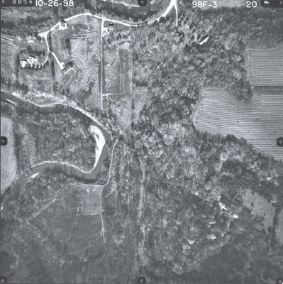
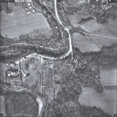
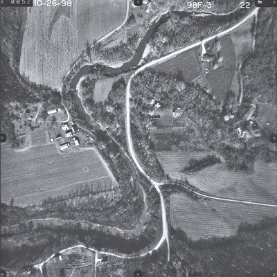
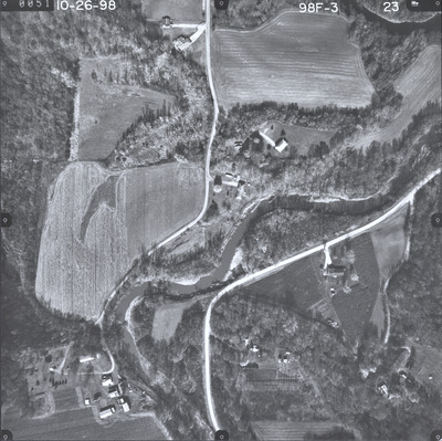
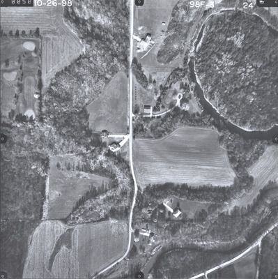
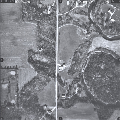
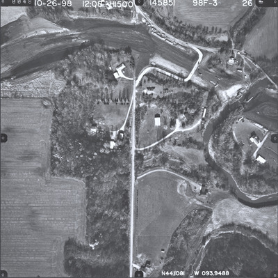
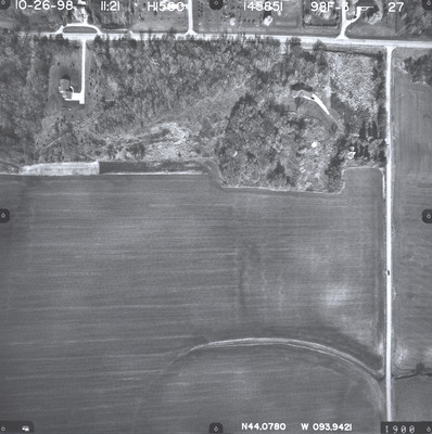
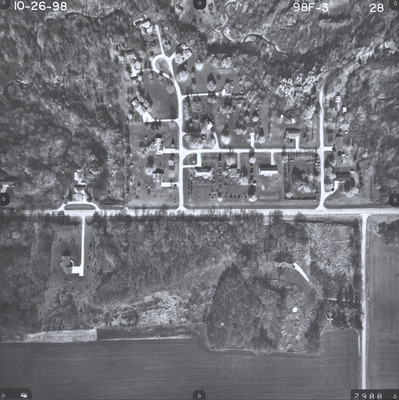
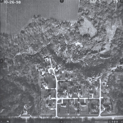
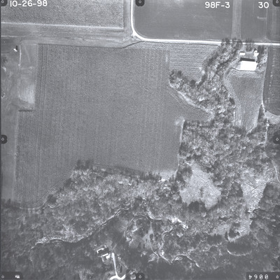
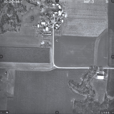
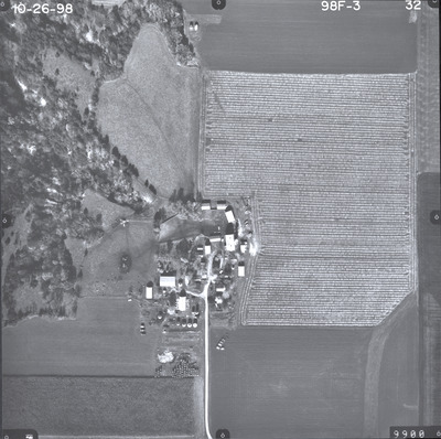
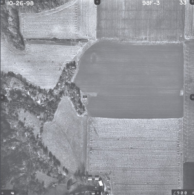
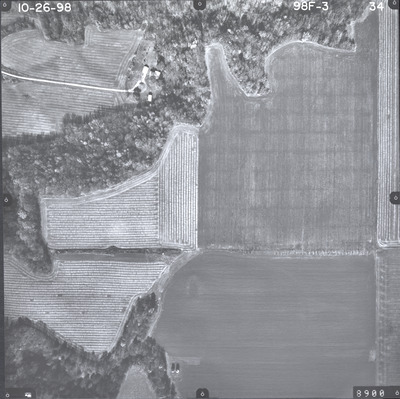
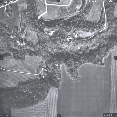
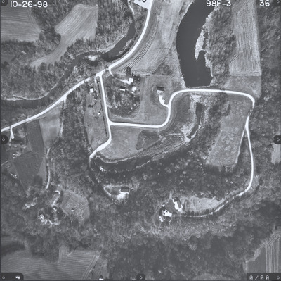
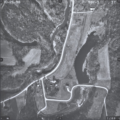
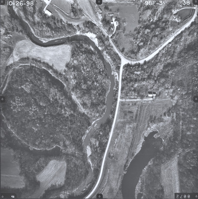
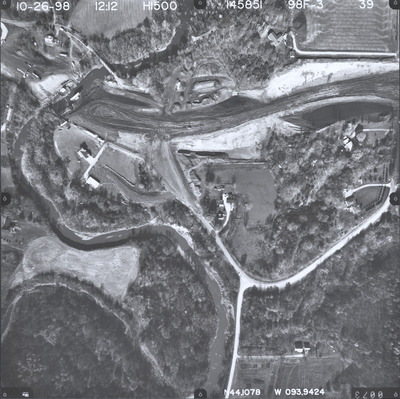
Aerial survey project no. 98F-3 was flown on October 26, 1998. These photos are a verbal scale of 1"=250'. The flight lines follow a north-south direction and provide coverage for highway 22 and 4 miles south of Mankato. This is also for the Department of Natural Resources Le Sueur River bank stabilization project.
Printing is not supported at the primary Gallery Thumbnail page. Please first navigate to a specific Image before printing.


