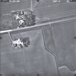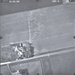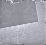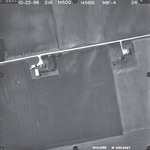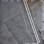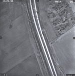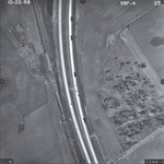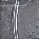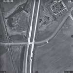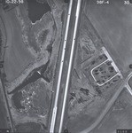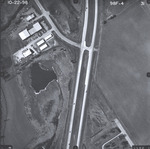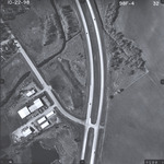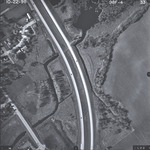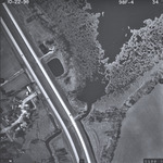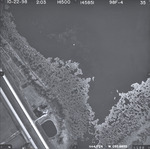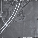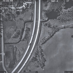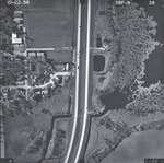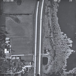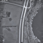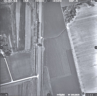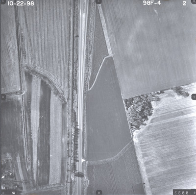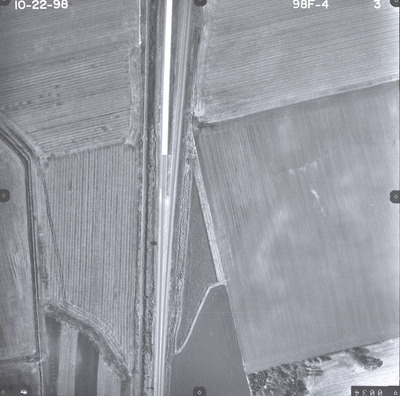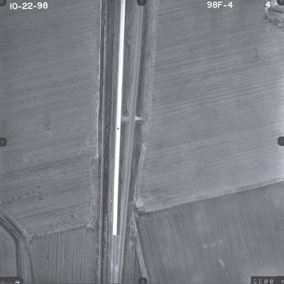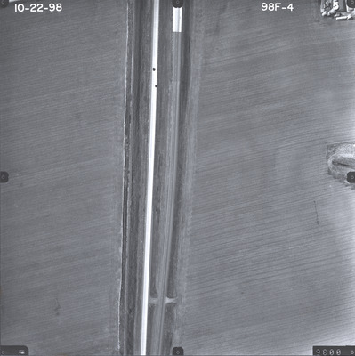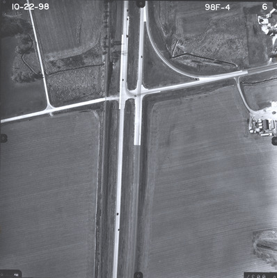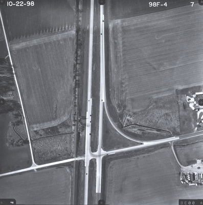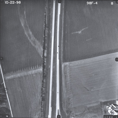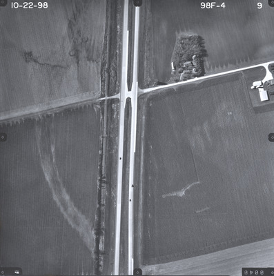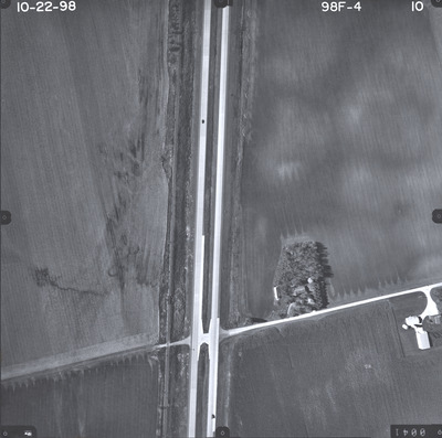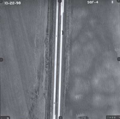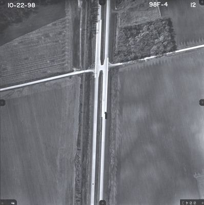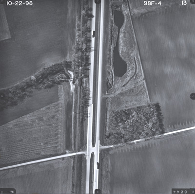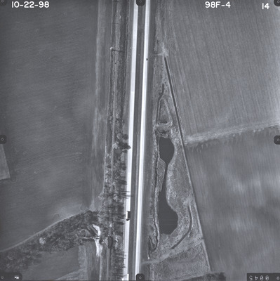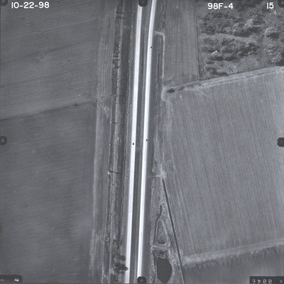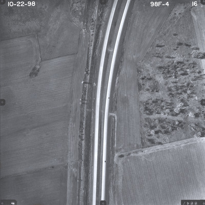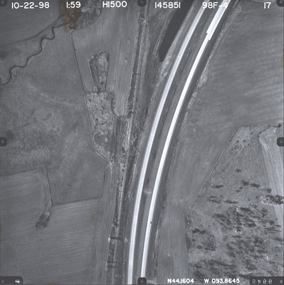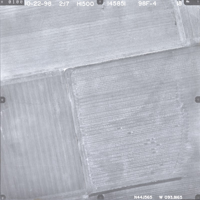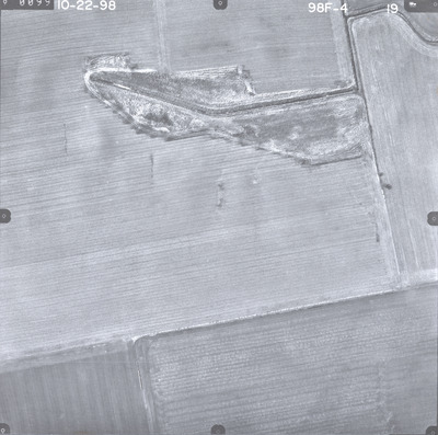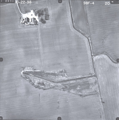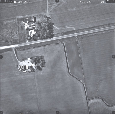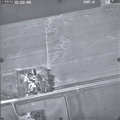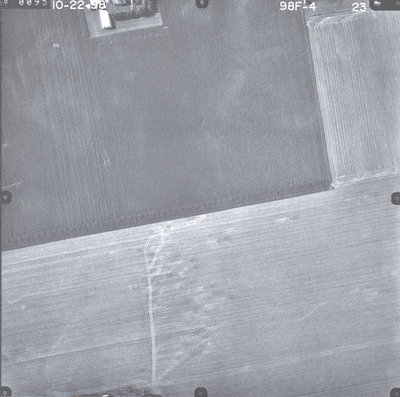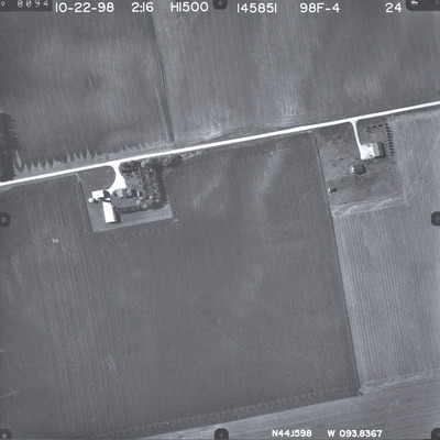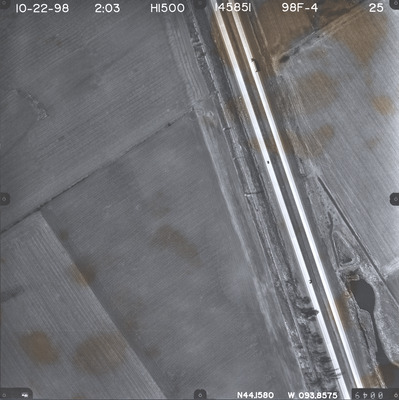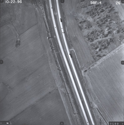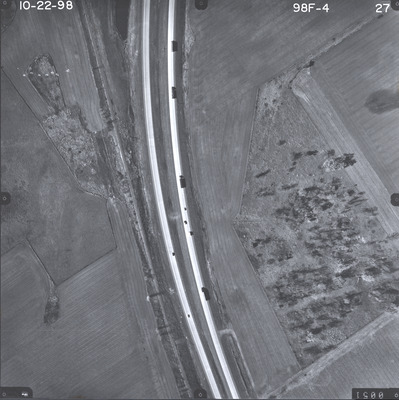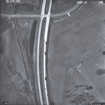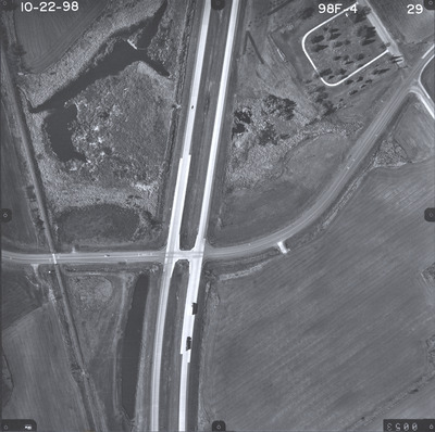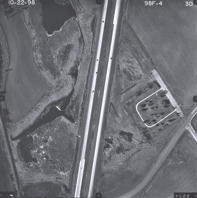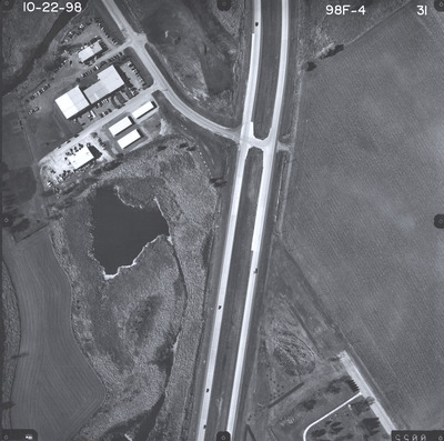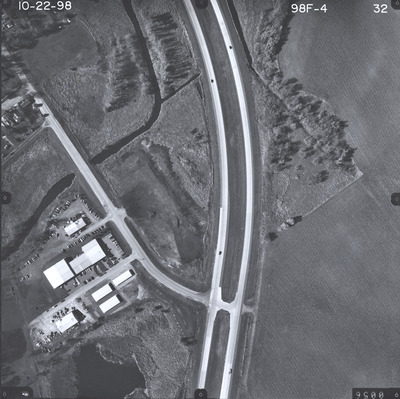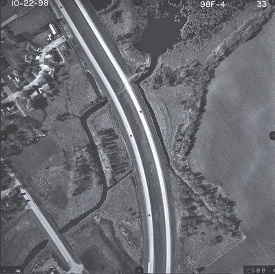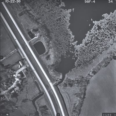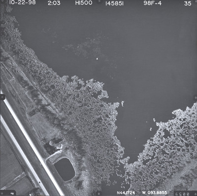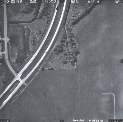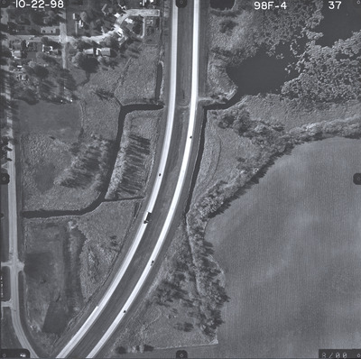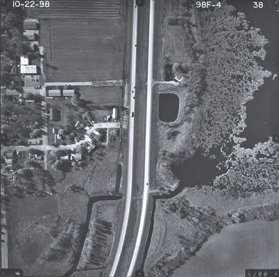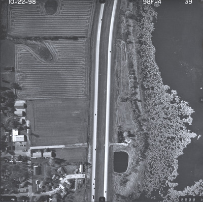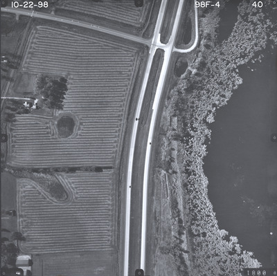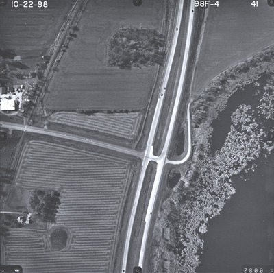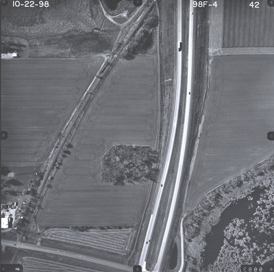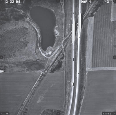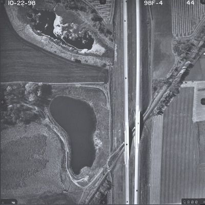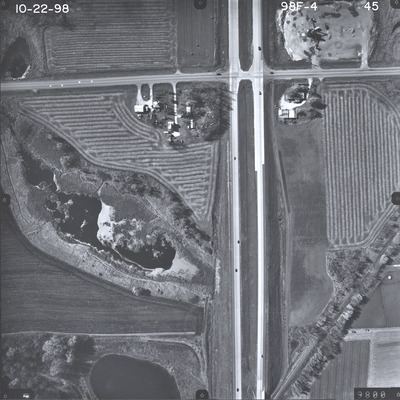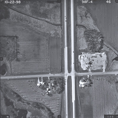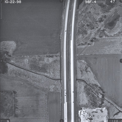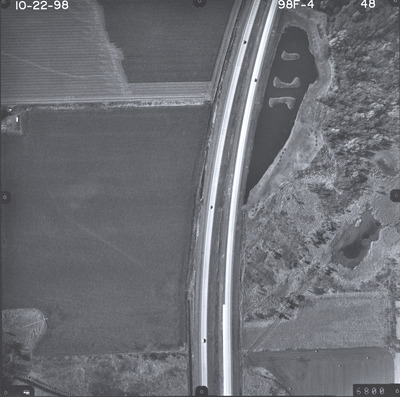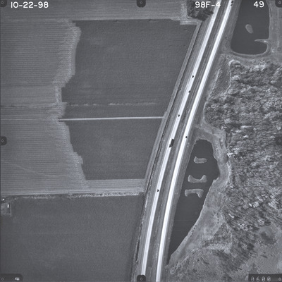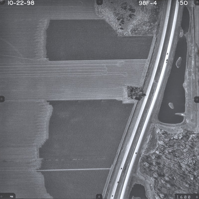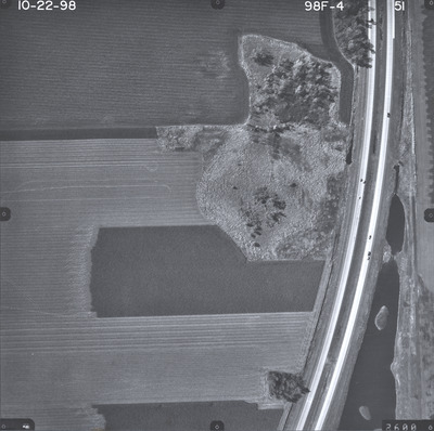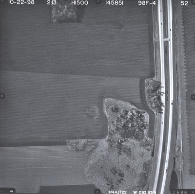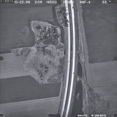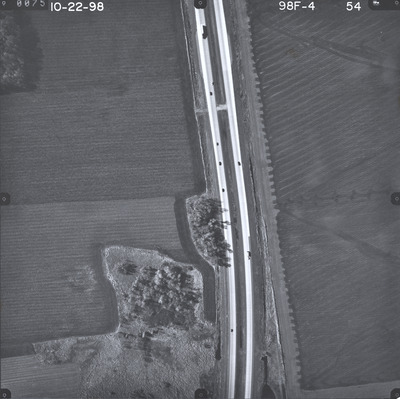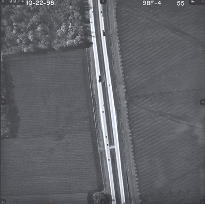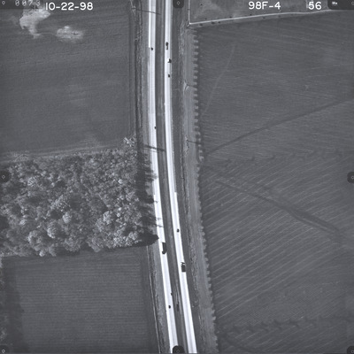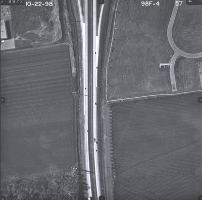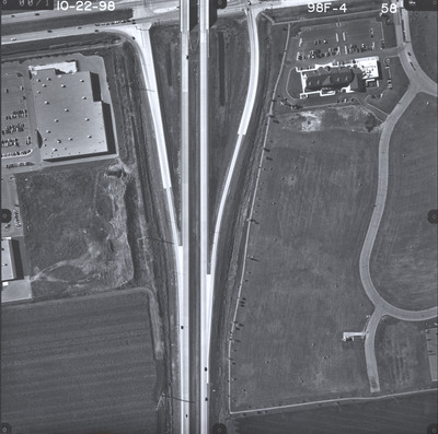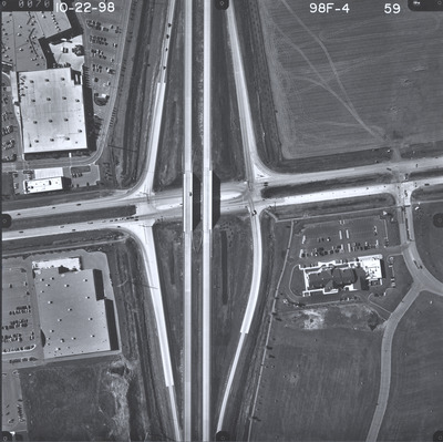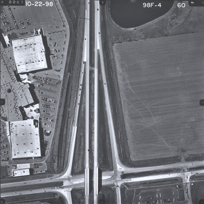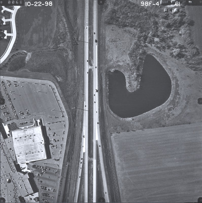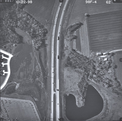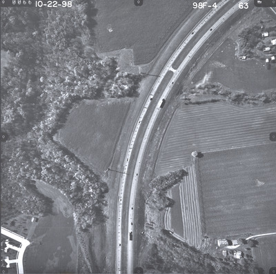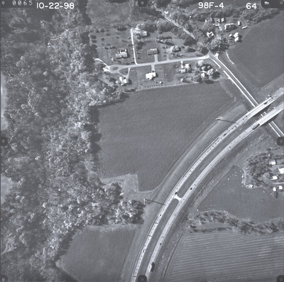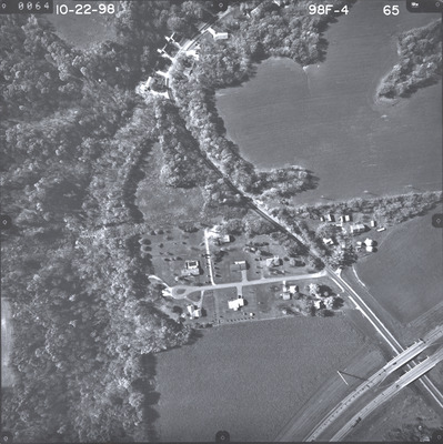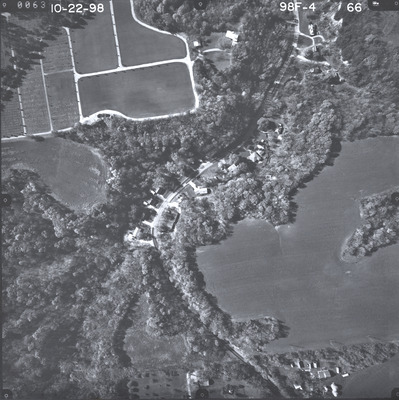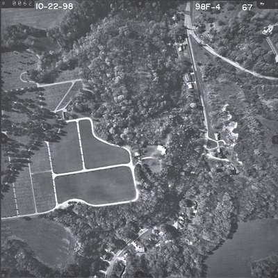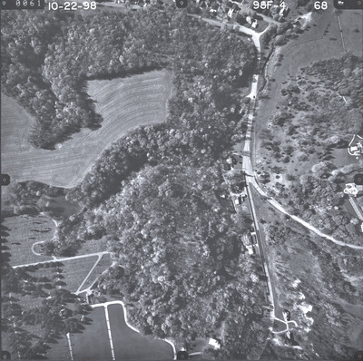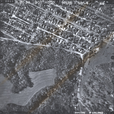
Aerial survey project no. 98F-4 was flown on October 22, 1998. These photos are a verbal scale of 1"=250'. The flight lines provide coverage for highway 14 from the junction with highway 60 to west of Eagle Lake.
Printing is not supported at the primary Gallery Thumbnail page. Please first navigate to a specific Image before printing.