• Home
  • Search
  • Browse Collections
  • My Account
  • About
  • DC Network Digital Commons Network™
Skip to main content
Cornerstone: A Collection of Scholarly and Creative Works for Minnesota State University, Mankato Minnesota State University, Mankato
  • Home
  • About
  • FAQ
  • My Account
  1. Home
  2. >
  3. MAPS
  4. >
  5. Blue Earth County Public Works Air Photo Collection
  6. >
  7. MAPS-BECPW-70847

2003 Job No. 70847

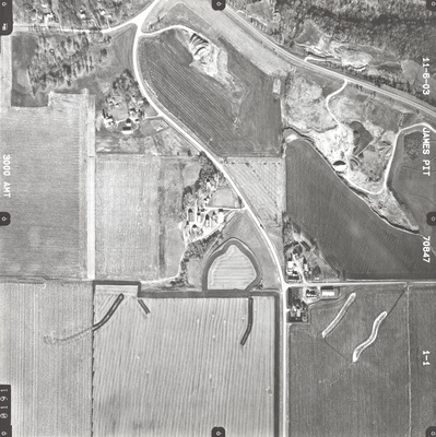
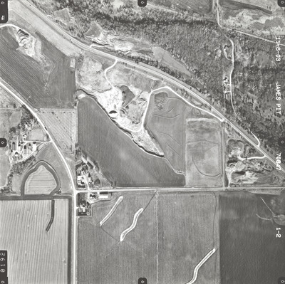
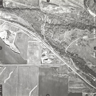
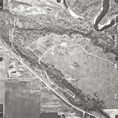
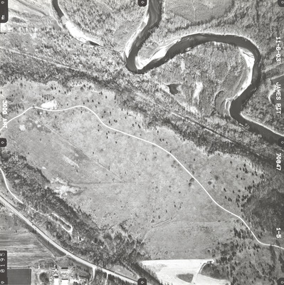
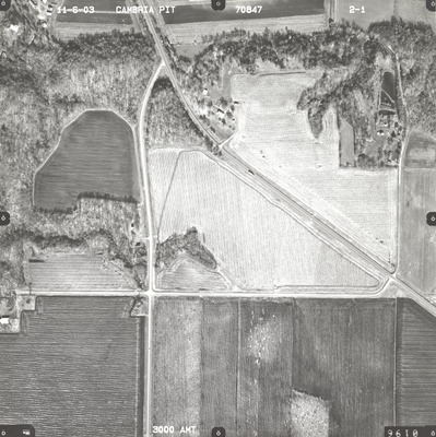
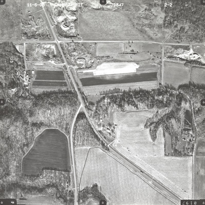
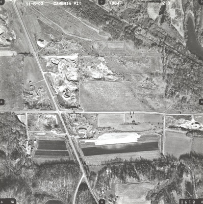
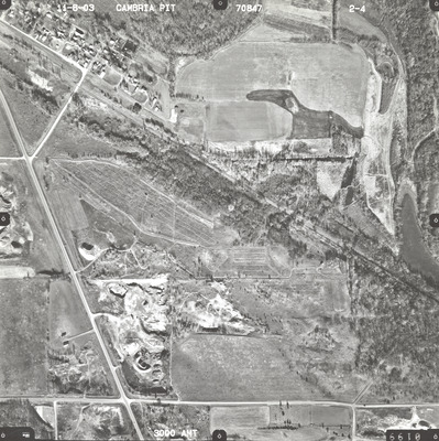
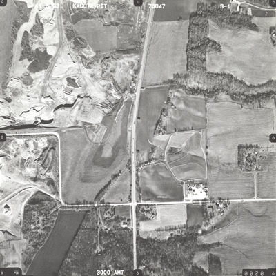
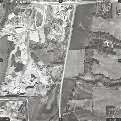
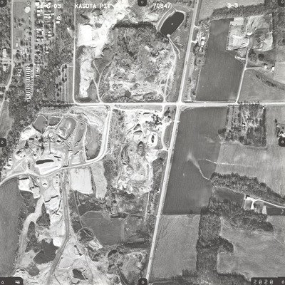
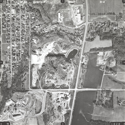
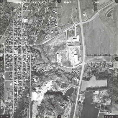
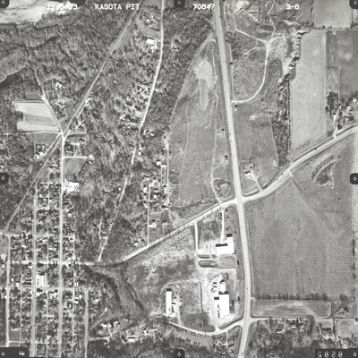
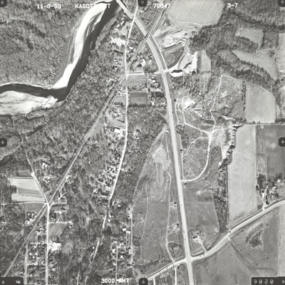
Job no. 70847 was flown on November 6, 2003. These photos are a verbal scale of 1"=500'. The flight lines follow an east-west and north-south direction and provide coverage for James Pit, Cambria Pit, and Kasota Pit.

Printing is not supported at the primary Gallery Thumbnail page. Please first navigate to a specific Image before printing.

Follow

Switch View to List


Search

Advanced Search

  • Notify me via email or RSS

Author Corner

  • All Authors
  • Author FAQ
  • Submit Research

University Resources

  • Digital Exhibits
  • ARCH: University Archives Digital Collections
  • Library Services
  • Minnesota State University, Mankato
  • Contact Us
Minnesota State University Mankato Minnesota State
 
Elsevier - Digital Commons

Home | About | FAQ | My Account | Accessibility Statement

Privacy Copyright