

Preview
Date Flown
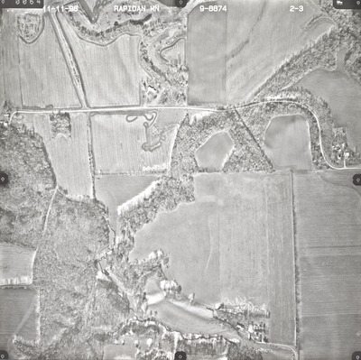
Fall 11-11-1998
Job No.
9-8874
County
Blue Earth
Location
Rapidan Area
Description
1998 aerial photography of the Rapidan Area commissioned by Blue Earth County Public Works.
Center Latitude
44.057705
Center Longitude
-94.124230
Scale
1''=500'
Flight Height
3000
Camera
Zeiss RMK Top 15
Camera Serial Number
144123
Lens Serial Number
[143105]
Focal Length
[153 mm]
Frame Orientation
Vertical
Physical Format
Black and White Physical Aerial Photograph
Dimensions
9 x 9
Item Type
Still Image
Collection Name
Blue Earth County Public Works Air Photo Collection
Contributing Organization
Dr. Mary T. Dooley Map Library, Memorial Library, Minnesota State University, Mankato, P.O. Box 8419, Mankato, MN 56002-8419
Contact Information
Dr. Mary T. Dooley Map Library, Memorial Library, Minnesota State University, Mankato, P.O. Box 8419, Mankato, MN 56002-8419
Creative Commons License

This work is licensed under a Creative Commons Attribution-NonCommercial 4.0 International License
Scanning Center
Dr. Mary T. Dooley Map Library, Memorial Library, Minnesota State University, Mankato, P.O. Box 8419, Mankato, MN 56002-8419
Object File Name
BECPW_1998_9-8874_2-03.tif
Date Digital
2026-03-30
Item Digital Format
Image/tiff
Master File Format
Image/tiff
Master File Size
279831140
Master File Bit Depth
24
Master File Resolution
1200 dpi
Master File Width
10856
Master File Height
10823
Master File Hardware
Epson Expression 12000XL
Master File Software
VueScan
Master File System
Windows 11
Master File Checksum
12acf3e61b1cfca8276738a82385f598
Keywords
blue earth county public works, air photos, aerial photography, 1998, blue earth river, watonwan river, pond, stream, marsh, field tiling, wetland

