• Home
  • Search
  • Browse Collections
  • My Account
  • About
  • DC Network Digital Commons Network™
Skip to main content
Cornerstone: A Collection of Scholarly and Creative Works for Minnesota State University, Mankato
  • Home
  • About
  • FAQ
  • My Account

Home > MAPS > MAPS-NAPP > MAPS-NAPP-1991-1992

1992 Minnesota Air Photos (CN)

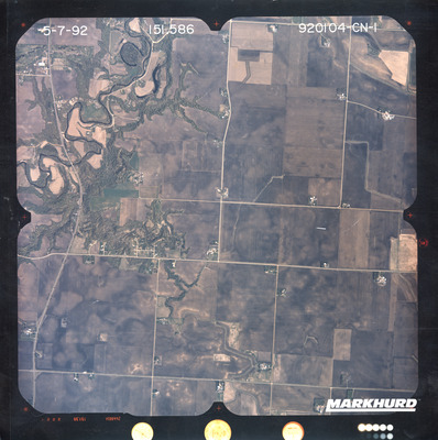
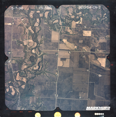
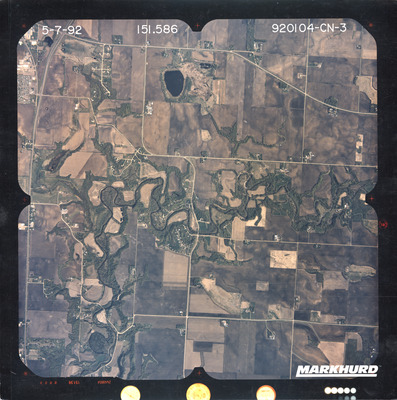
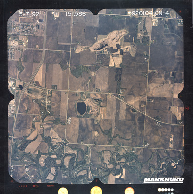
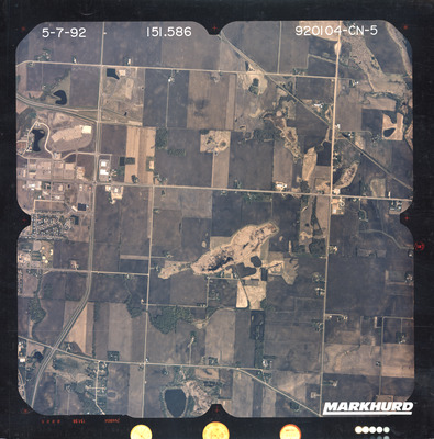
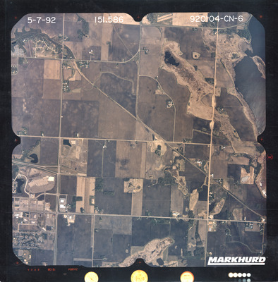
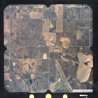
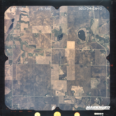
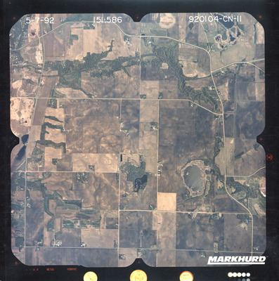
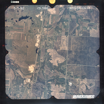
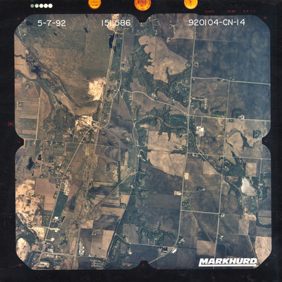
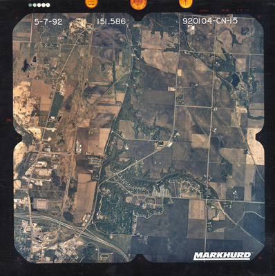
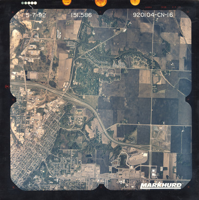
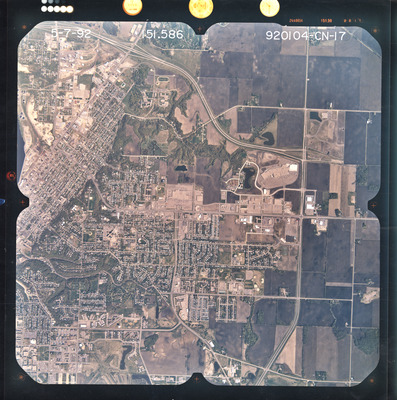
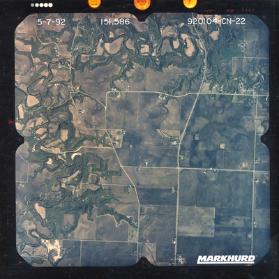
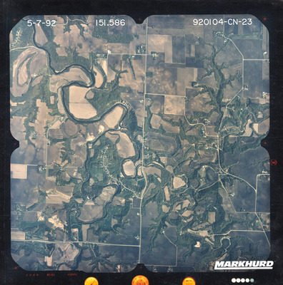
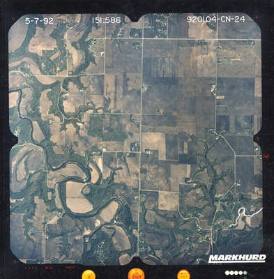
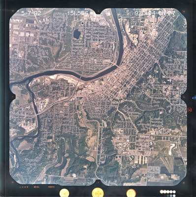
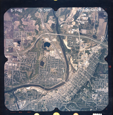
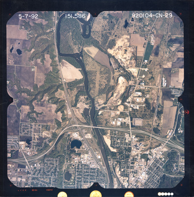
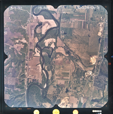
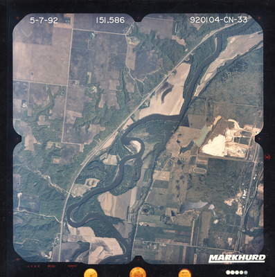
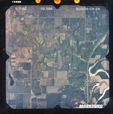
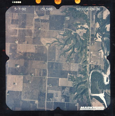
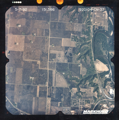
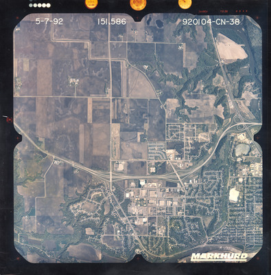
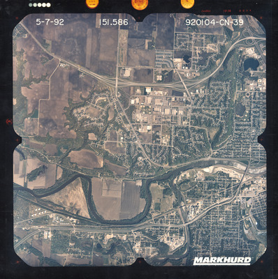
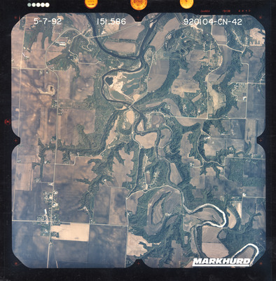
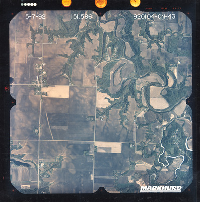
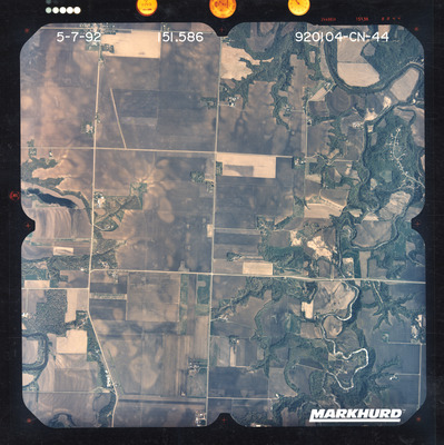
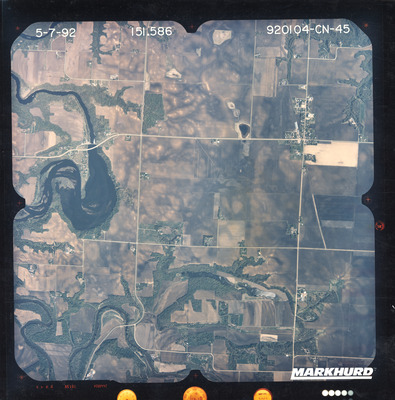
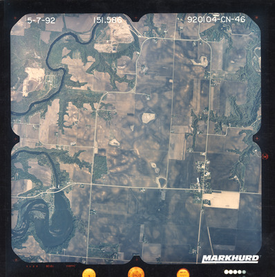
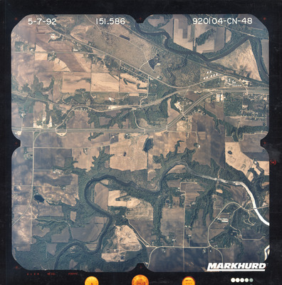
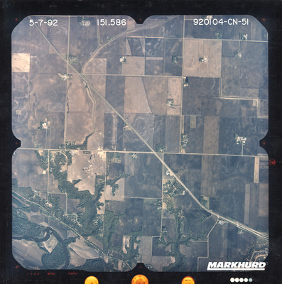
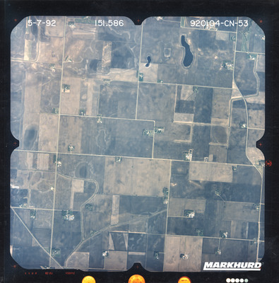
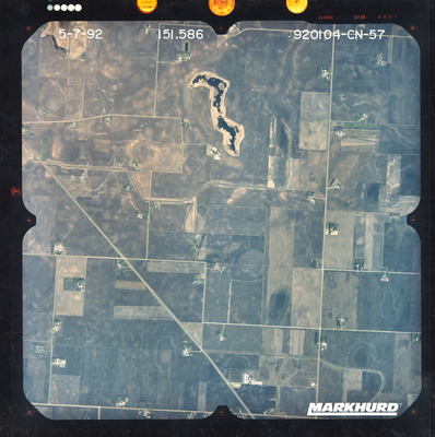
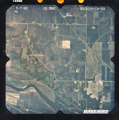
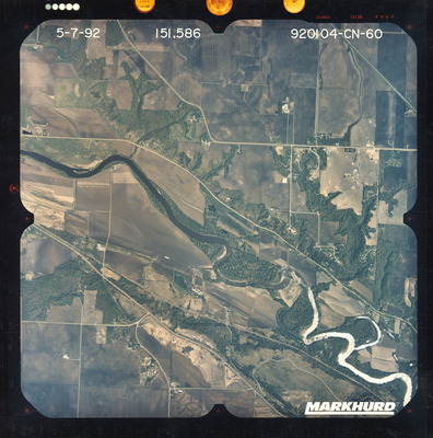
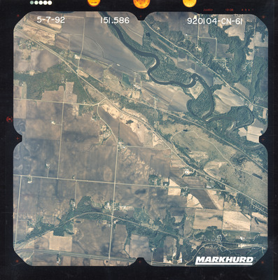
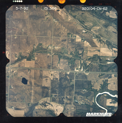
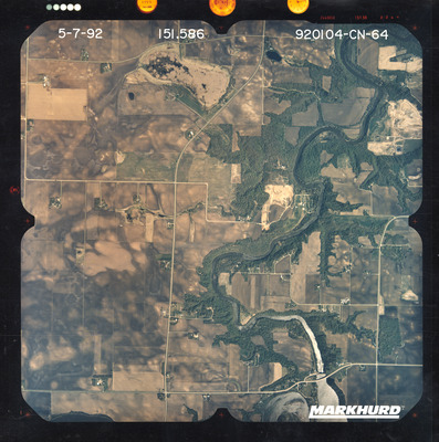
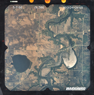
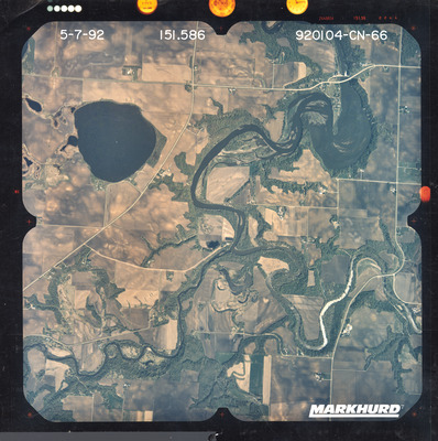
The National Aerial Photography Program air photos of Blue Earth County, Le Sueur County, and Nicollet County in Minnesota were flown May 7, 1992. These color photos are a scale of 1:40,000. The flight lines follow a north-south direction.

To explore individual digitized air photos, use this Digital Map Library GIS Tool

These air photos are located at Minnesota State University, Mankato, Department of Geography and are usable under a Creative Commons-Attribution-Non-Commercial License .

Printing is not supported at the primary Gallery Thumbnail page. Please first navigate to a specific Image before printing.

Follow

Switch View to List View Slideshow
 
  • CN-01 by Mark Hurd Aerial Surveys, Inc. Minneapolis, Minnesota

    CN-01

  • CN-02 by Mark Hurd Aerial Surveys, Inc. Minneapolis, Minnesota

    CN-02

  • CN-03 by Mark Hurd Aerial Surveys, Inc. Minneapolis, Minnesota

    CN-03

  • CN-04 by Mark Hurd Aerial Surveys, Inc. Minneapolis, Minnesota

    CN-04

  • CN-05 by Mark Hurd Aerial Surveys, Inc. Minneapolis, Minnesota

    CN-05

  • CN-06 by Mark Hurd Aerial Surveys, Inc. Minneapolis, Minnesota

    CN-06

  • CN-07 by Mark Hurd Aerial Surveys, Inc. Minneapolis, Minnesota

    CN-07

  • CN-08 by Mark Hurd Aerial Surveys, Inc. Minneapolis, Minnesota

    CN-08

  • CN-09 by Mark Hurd Aerial Surveys, Inc. Minneapolis, Minnesota

    CN-09

  • CN-10 by Mark Hurd Aerial Surveys, Inc. Minneapolis, Minnesota

    CN-10

  • CN-11 by Mark Hurd Aerial Surveys, Inc. Minneapolis, Minnesota

    CN-11

  • CN-12 by Mark Hurd Aerial Surveys, Inc. Minneapolis, Minnesota

    CN-12

  • CN-13 by Mark Hurd Aerial Surveys, Inc. Minneapolis, Minnesota

    CN-13

  • CN-14 by Mark Hurd Aerial Surveys, Inc. Minneapolis, Minnesota

    CN-14

  • CN-15 by Mark Hurd Aerial Surveys, Inc. Minneapolis, Minnesota

    CN-15

  • CN-16 by Mark Hurd Aerial Surveys, Inc. Minneapolis, Minnesota

    CN-16

  • CN-17 by Mark Hurd Aerial Surveys, Inc. Minneapolis, Minnesota

    CN-17

  • CN-19 by Mark Hurd Aerial Surveys, Inc. Minneapolis, Minnesota

    CN-19

  • CN-20 by Mark Hurd Aerial Surveys, Inc. Minneapolis, Minnesota

    CN-20

  • CN-21 by Mark Hurd Aerial Surveys, Inc. Minneapolis, Minnesota

    CN-21

 
  • 1
  • 2
  • 3
  • 4


Search

Advanced Search

  • Notify me via email or RSS

Author Corner

  • All Authors
  • Author FAQ
  • Submit Research

University Resources

  • Digital Exhibits
  • ARCH: University Archives Digital Collections
  • Library Services
  • Minnesota State University, Mankato
  • Contact Us
Minnesota State University Mankato Minnesota State
 
Elsevier - Digital Commons

Home | About | FAQ | My Account | Accessibility Statement

Privacy Copyright