

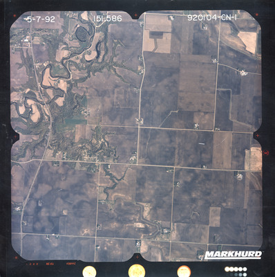
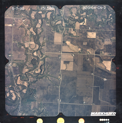
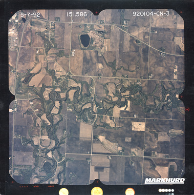
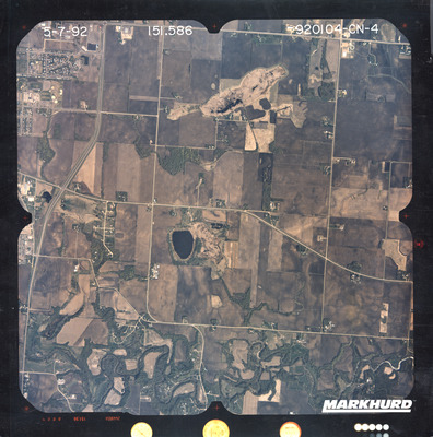
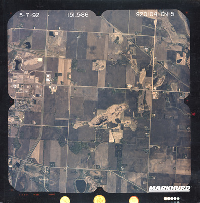
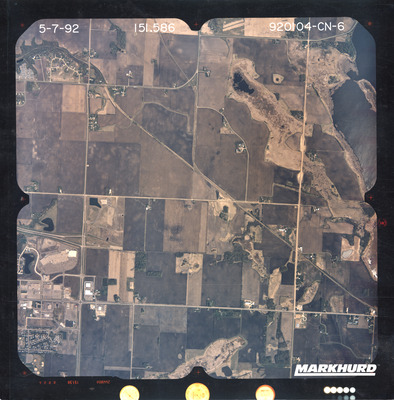
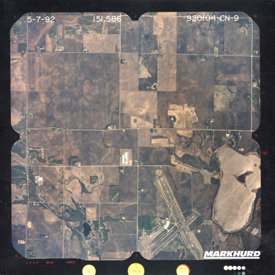
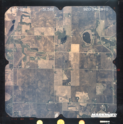
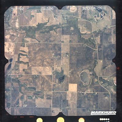
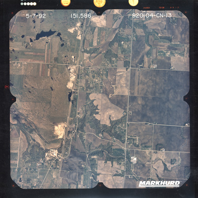
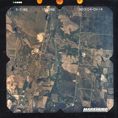
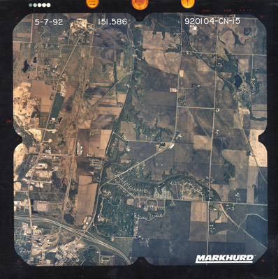
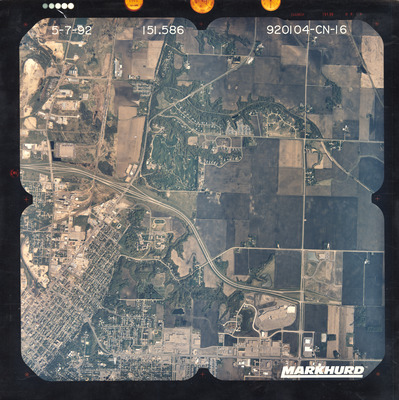
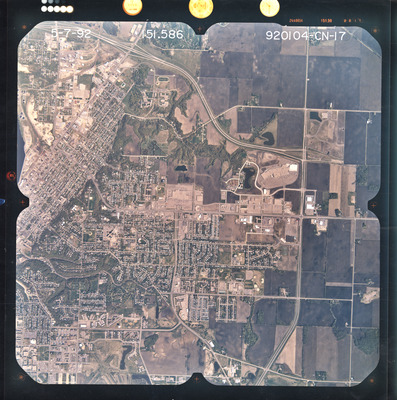
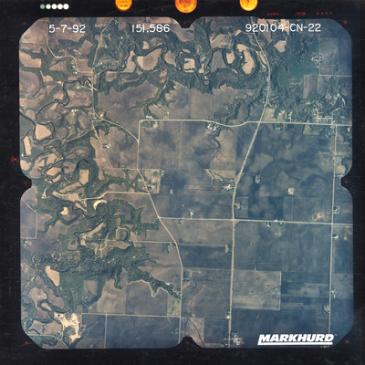
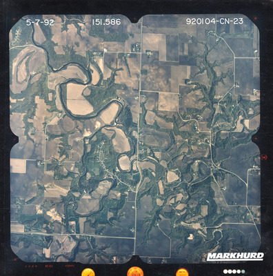
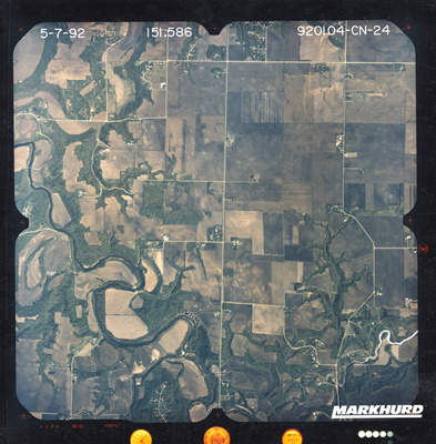
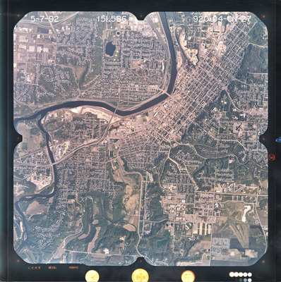
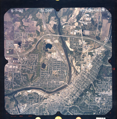
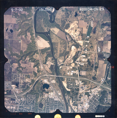
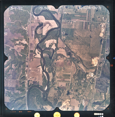
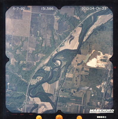
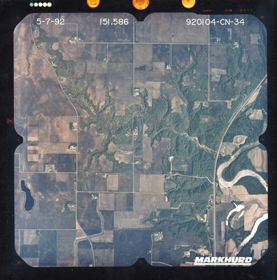
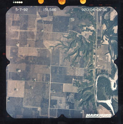
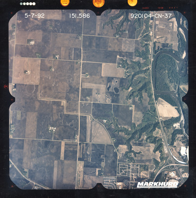
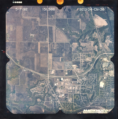
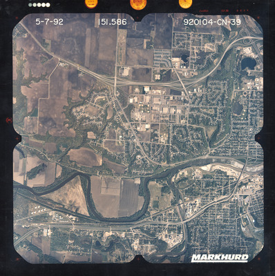
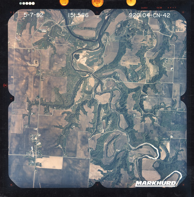
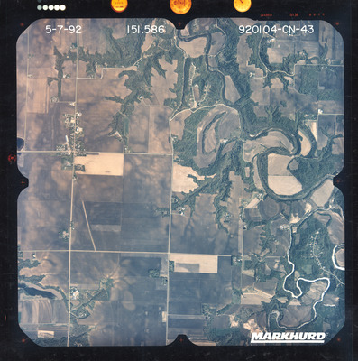
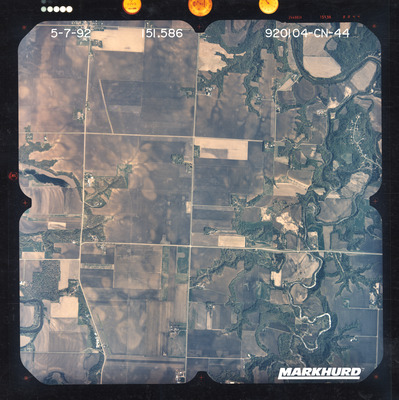
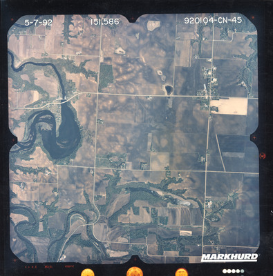
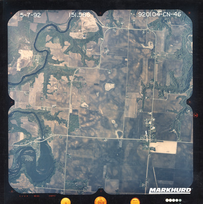
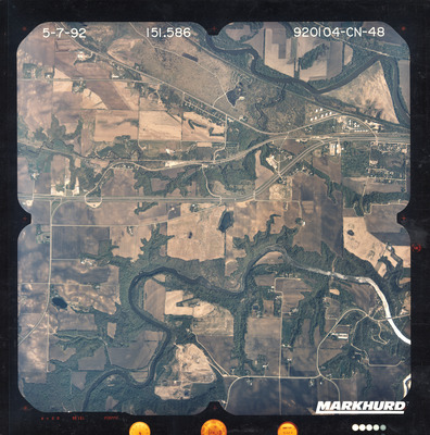
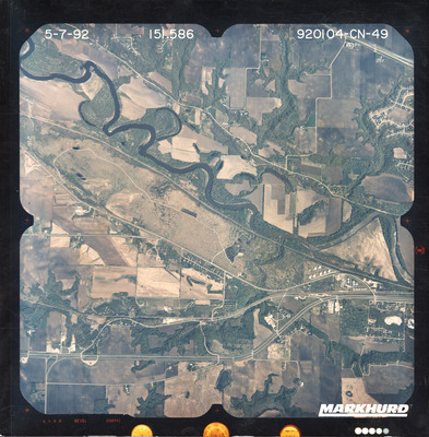
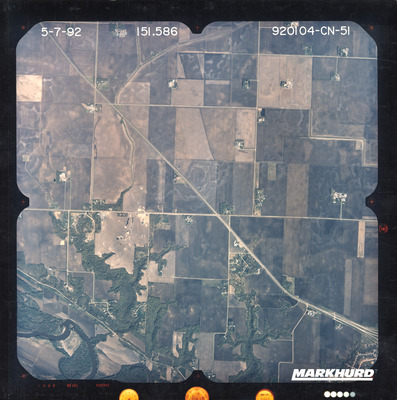
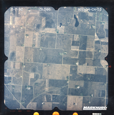
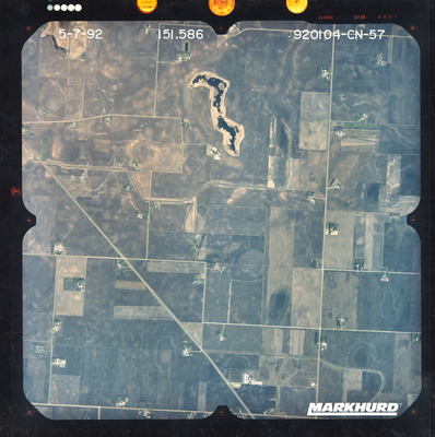
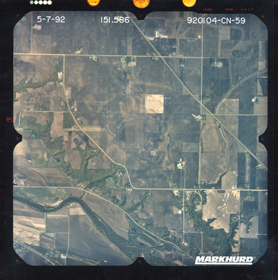
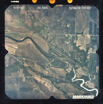
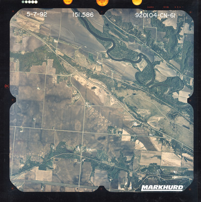
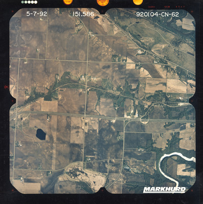
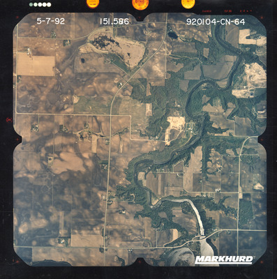
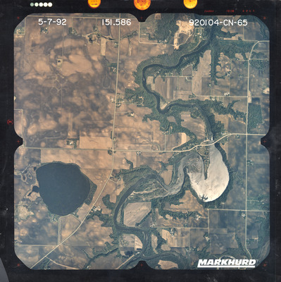
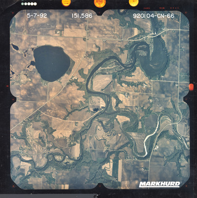
The National Aerial Photography Program air photos of Blue Earth County, Le Sueur County, and Nicollet County in Minnesota were flown May 7, 1992. These color photos are a scale of 1:40,000. The flight lines follow a north-south direction.
To explore geolocated air photos, use this web application Dr. Mary T. Dooley Map Library Digitized Air Photo Collections .
These air photos are located at Minnesota State University, Mankato, Department of Geography and are usable under a Creative Commons-Attribution-Non-Commercial License .


