• Home
  • Search
  • Browse Collections
  • My Account
  • About
  • DC Network Digital Commons Network™
Skip to main content
Cornerstone: A Collection of Scholarly and Creative Works for Minnesota State University, Mankato
  • Home
  • About
  • FAQ
  • My Account

Home > MAPS > MAPS-MNDOT7-AIR-PHOTOS > MNDOT7-1967-67F-41

1967 Aerial Survey Project No. 67F-41 (BDX)

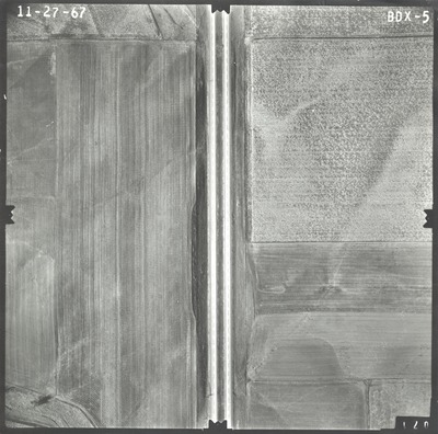
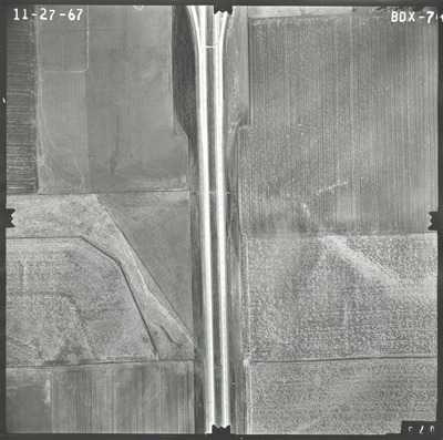
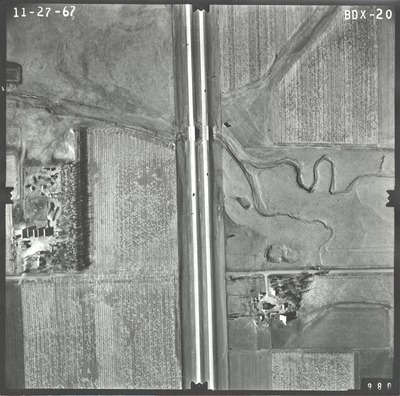
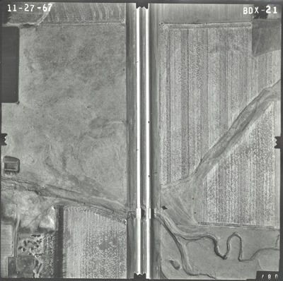
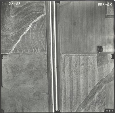
Aerial survey project no. 67F-41 was flown on November 27, 1967. These photos are a verbal scale of 1"=250'. The flight line follows an east-west direction and provides coverage for the State information center at the Minnesota-South Dakota border.

Printing is not supported at the primary Gallery Thumbnail page. Please first navigate to a specific Image before printing.

Follow

Switch View to List View Slideshow
 
  • BDX-05 by Mark Hurd Aerial Surveys, Inc. Minneapolis, Minnesota

    BDX-05

  • BDX-06 by Mark Hurd Aerial Surveys, Inc. Minneapolis, Minnesota

    BDX-06

  • BDX-07 by Mark Hurd Aerial Surveys, Inc. Minneapolis, Minnesota

    BDX-07

  • BDX-20 by Mark Hurd Aerial Surveys, Inc. Minneapolis, Minnesota

    BDX-20

  • BDX-21 by Mark Hurd Aerial Surveys, Inc. Minneapolis, Minnesota

    BDX-21

  • BDX-22 by Mark Hurd Aerial Surveys, Inc. Minneapolis, Minnesota

    BDX-22


Search

Advanced Search

  • Notify me via email or RSS

Author Corner

  • All Authors
  • Author FAQ
  • Submit Research

University Resources

  • Digital Exhibits
  • ARCH: University Archives Digital Collections
  • Library Services
  • Minnesota State University, Mankato
  • Contact Us
Minnesota State University Mankato Minnesota State
 
Elsevier - Digital Commons

Home | About | FAQ | My Account | Accessibility Statement

Privacy Copyright