

Preview
Flight Code
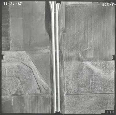
BDX
Date Flown
Fall 11-27-1967
Aerial Survey Project No. (A.S.P. No.)
67F-41
County
Rock
Trunk Highway (T.H.)
I-90
Location
E. of Jct. TH 23 to 2 mi. W. of State Information Center
Center Latitude
43°36'32.21"N
Center Longitude
96°25'31.20"W
Scale
1''=250'
Flight Height
1500
Work Order No.
20
Agreement No.
55392
State Project No.
6780
Focal Length
152.35 mm
Physical Format
Black and White Physical Aerial Photograph
Dimensions
9 x 9
Item Type
Still Image
Collection Name
Minnesota Department of Transportation District 7 Air Photo Collection, 1957-2006
Contributing Organization
Dr. Mary T. Dooley Map Library, Memorial Library, Minnesota State University, Mankato, P.O. Box 8419, Mankato, MN 56002-8419
Contact Information
Dr. Mary T. Dooley Map Library, Memorial Library, Minnesota State University, Mankato, P.O. Box 8419, Mankato, MN 56002-8419
Creative Commons License

This work is licensed under a Creative Commons Attribution-NonCommercial 4.0 International License
Scanning Center
Dr. Mary T. Dooley Map Library, Memorial Library, Minnesota State University, Mankato, P.O. Box 8419, Mankato, MN 56002-8419
Object File Name
MnDOT_1967_67F-41_BDX-7.tif
Date Digital
2021-06-10
Item Digital Format
Image/tiff
Master File Format
Image/tiff
Master File Size
109681688
Master File Bit Depth
24
Master File Resolution
800 dpi
Master File Width
7541
Master File Height
7489
Master File Hardware
Epson Expression 10000XL
Master File Software
VueScan
Master File System
Windows 10
Master File Checksum
91e2e78ac2a82c3bb25454f6918fe698
Keywords
mndot, air photos, aerial photography, 1967, stream

