

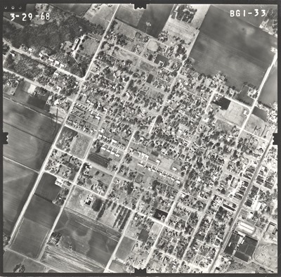
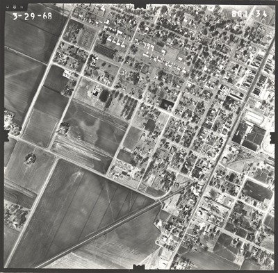
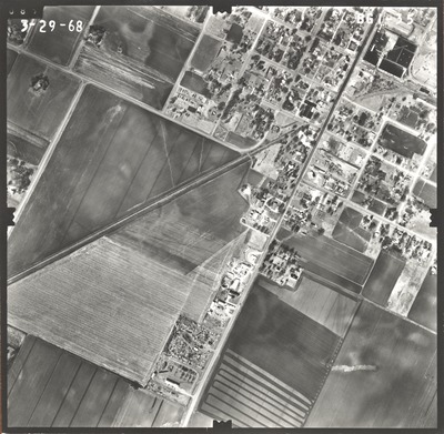
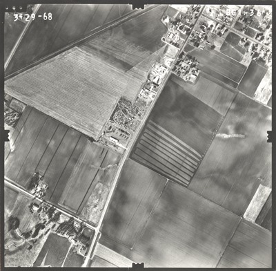
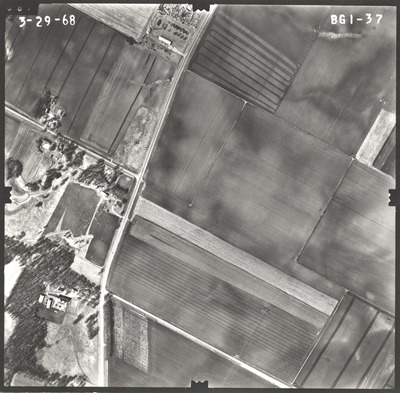
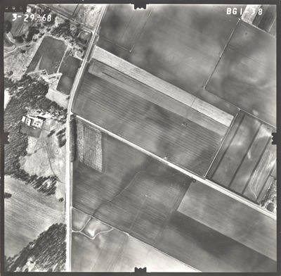
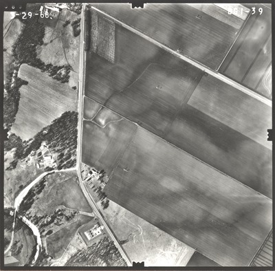
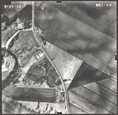
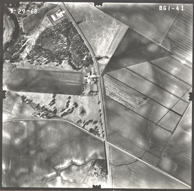
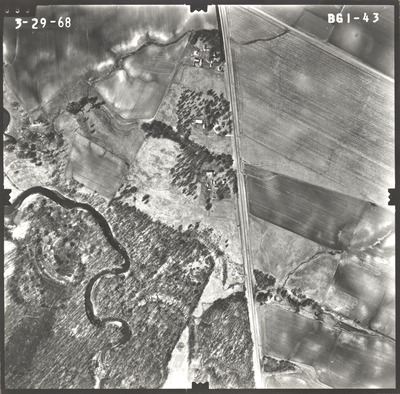
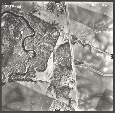
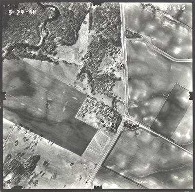
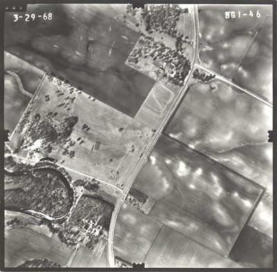
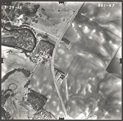
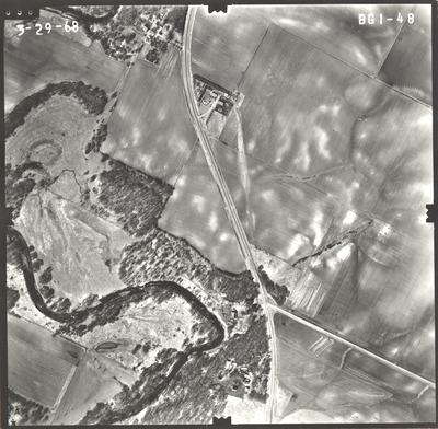
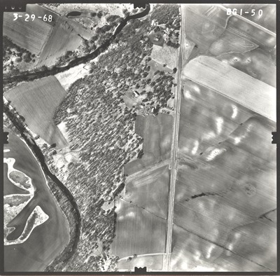
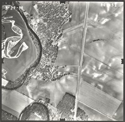
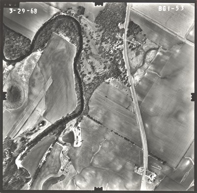
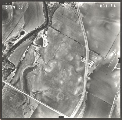
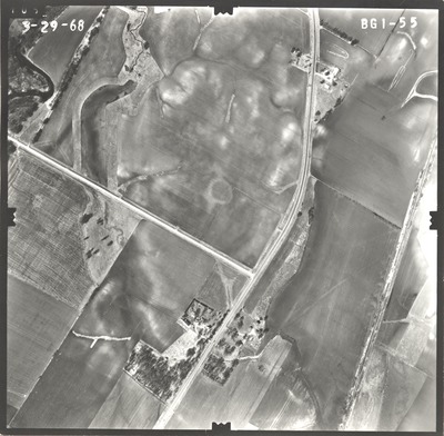
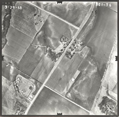
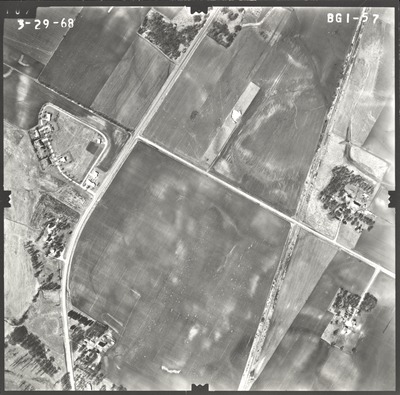
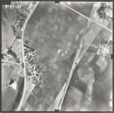
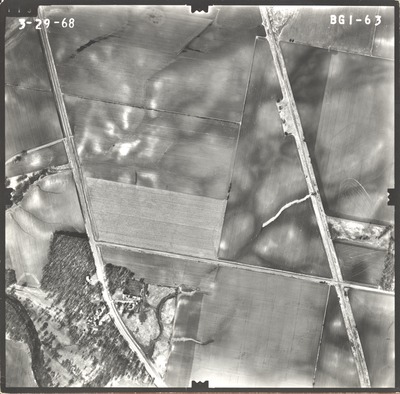
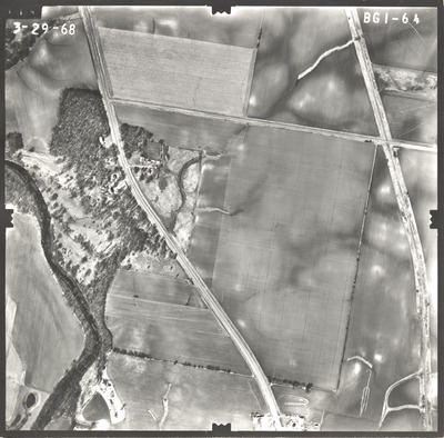
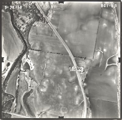
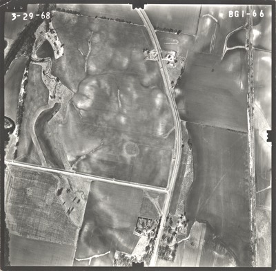
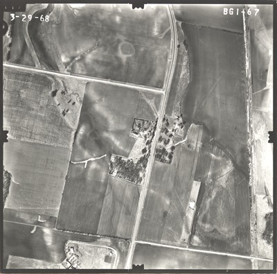
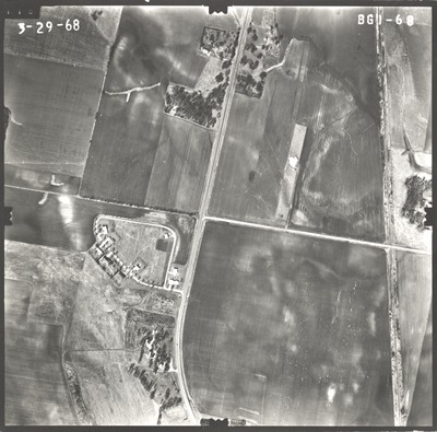
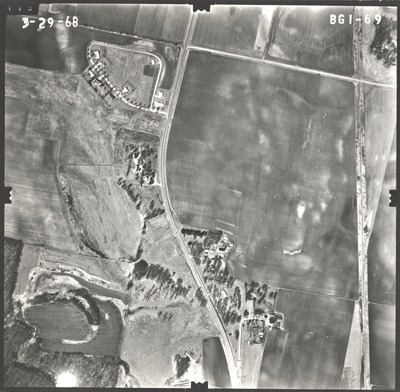
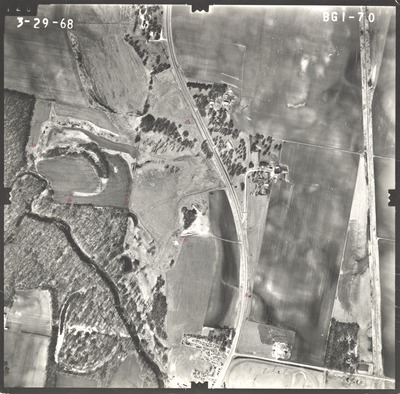
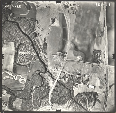
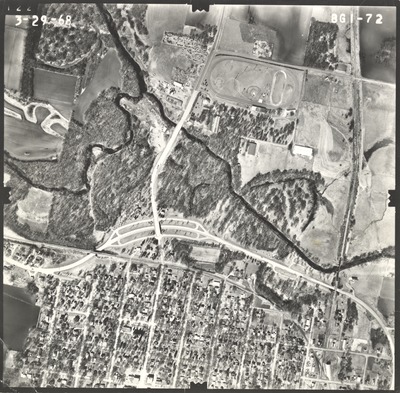
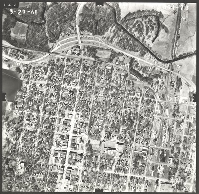
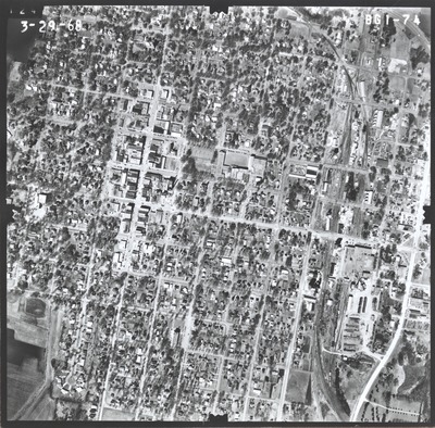
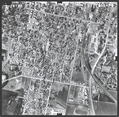
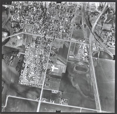
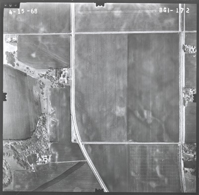
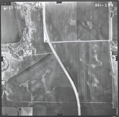
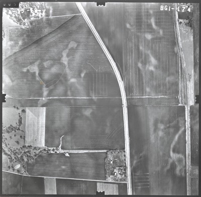
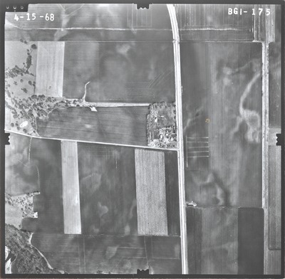
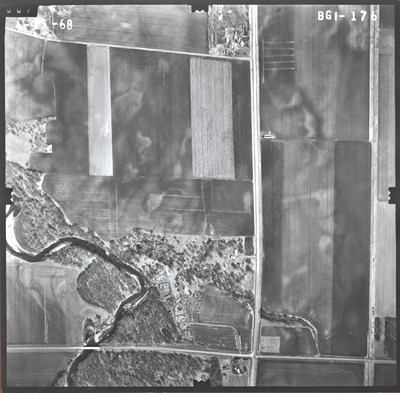
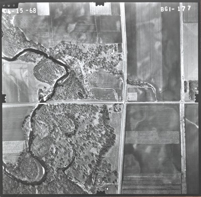
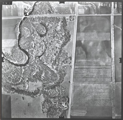
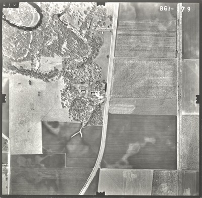
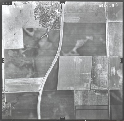
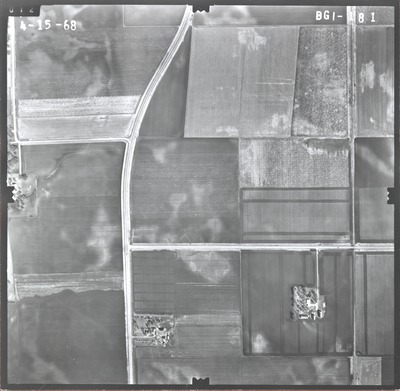
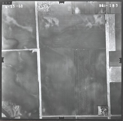
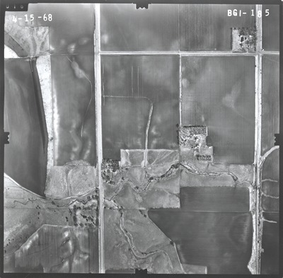
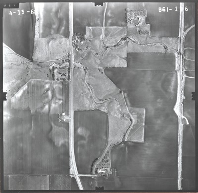
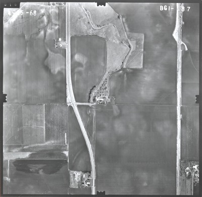
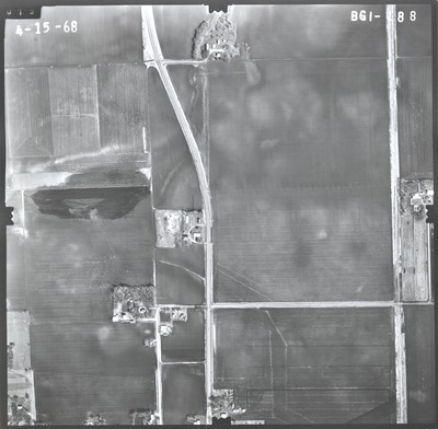
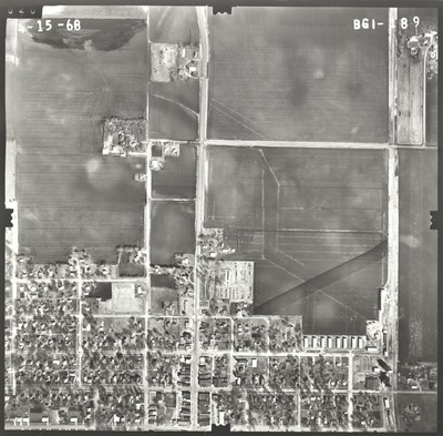
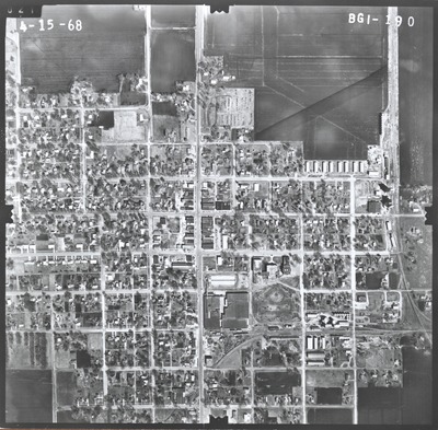
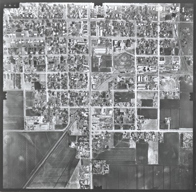
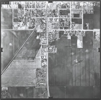
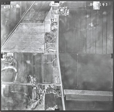
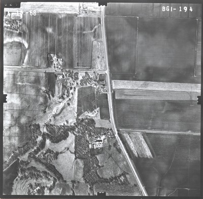
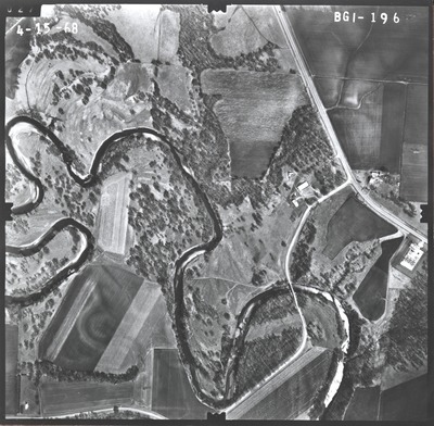
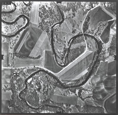
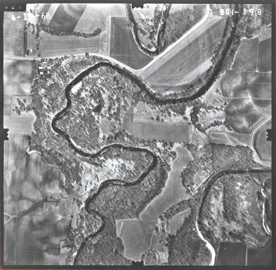
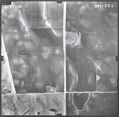
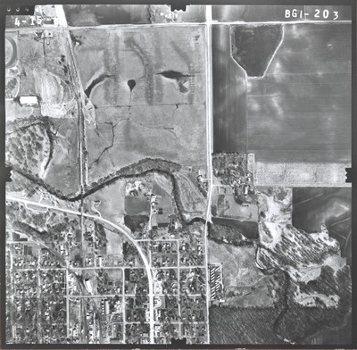
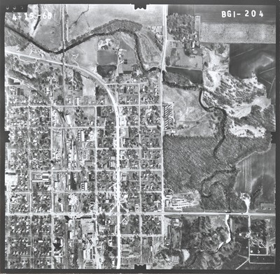
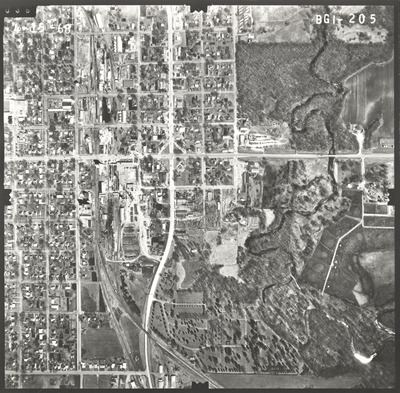
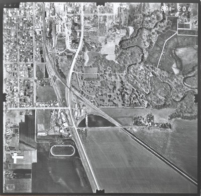
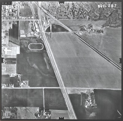
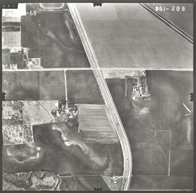
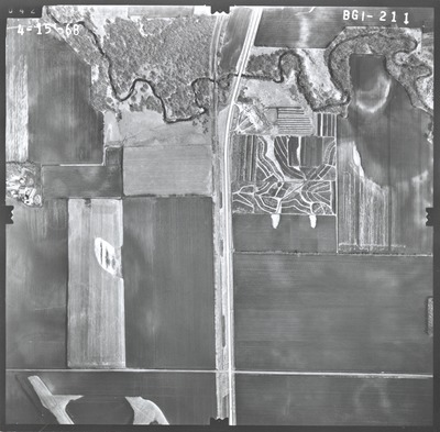
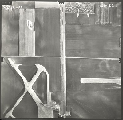
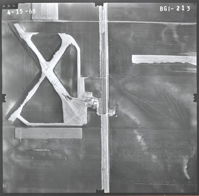
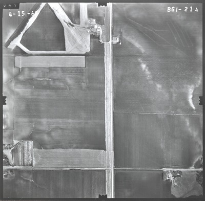
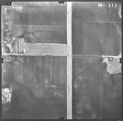
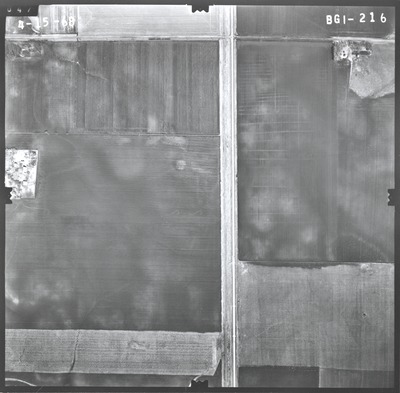
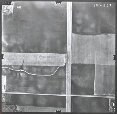
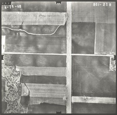
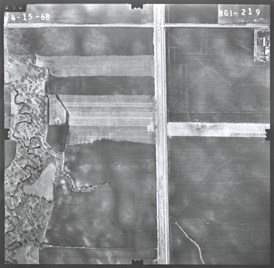
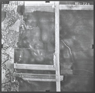
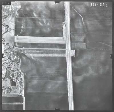
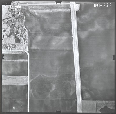
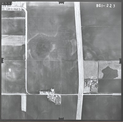
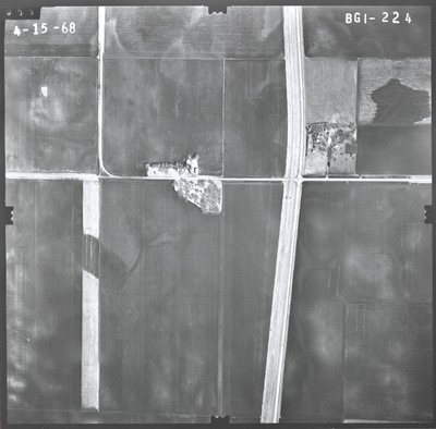
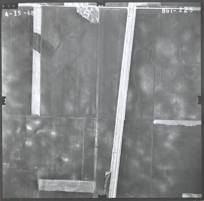
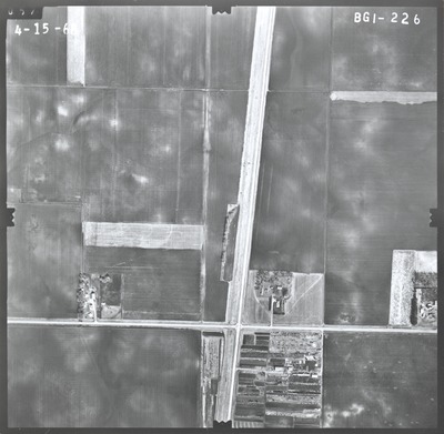
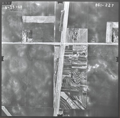
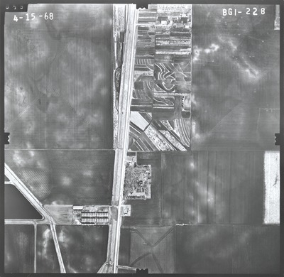
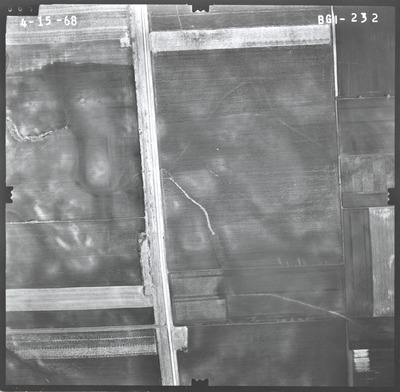
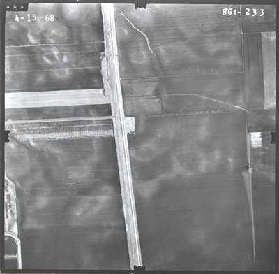
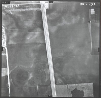
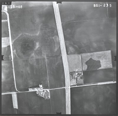
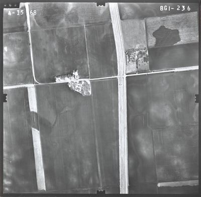
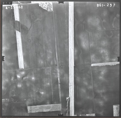
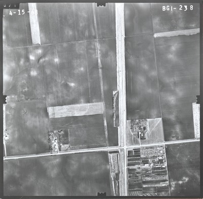
Aerial survey project no. 68S-39 was flown on March 29 and April 15, 1968. These photos are a verbal scale of 1"=500'. The flight lines provide coverage for highway 169 from the northern Faribault County line to the Iowa State line.
Printing is not supported at the primary Gallery Thumbnail page. Please first navigate to a specific Image before printing.


