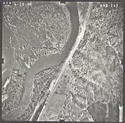
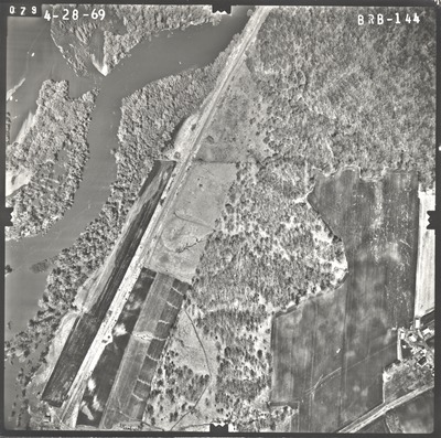
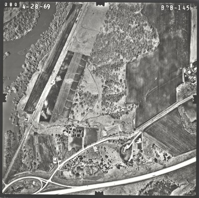
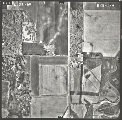
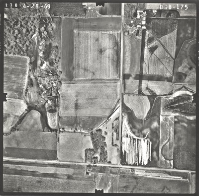
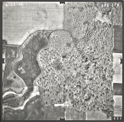
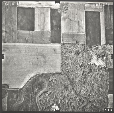
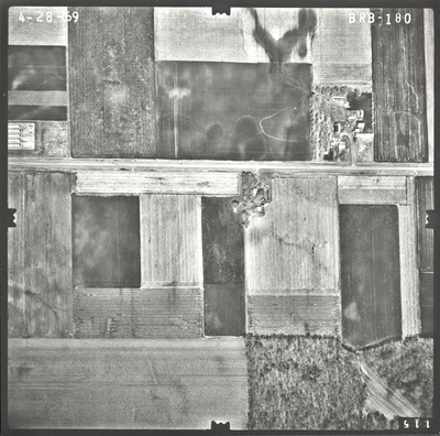
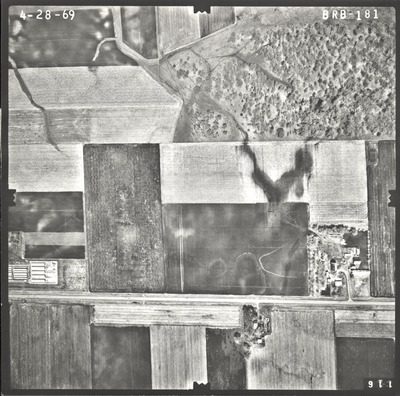
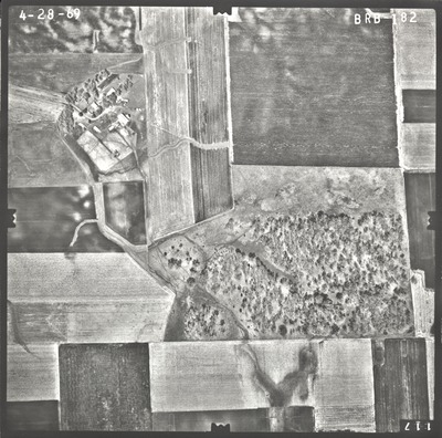
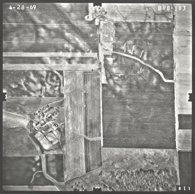
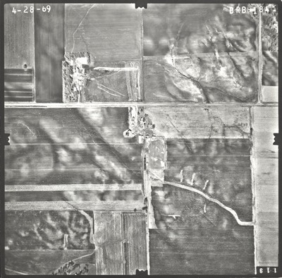
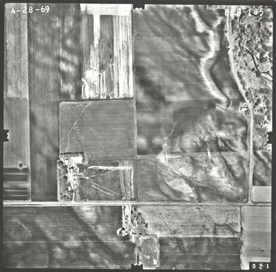
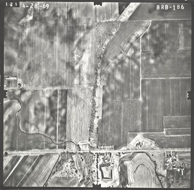
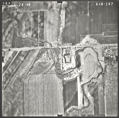
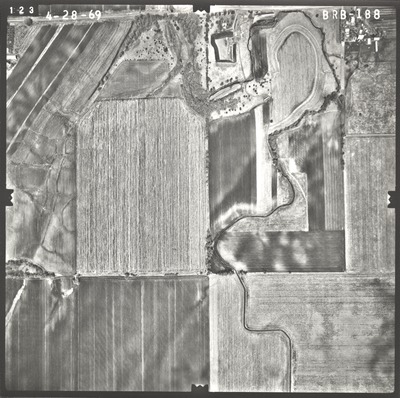
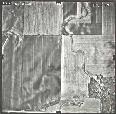
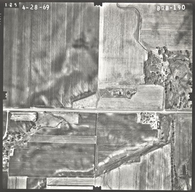
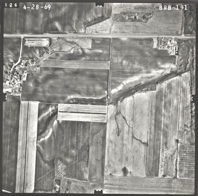
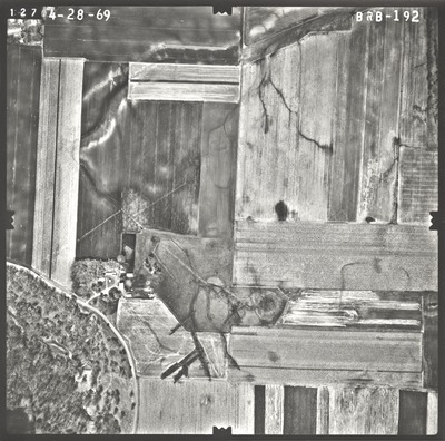
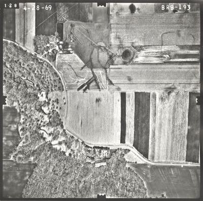
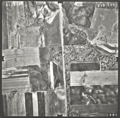
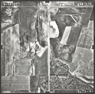
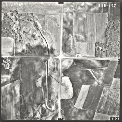
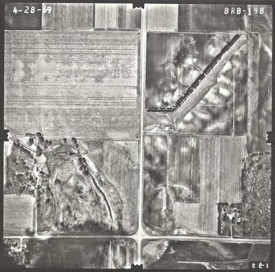
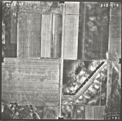
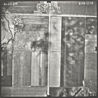
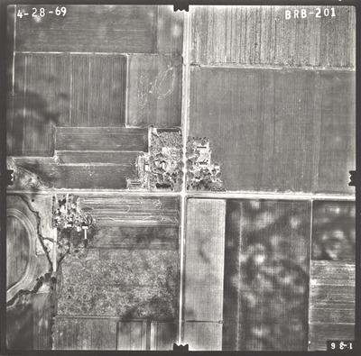
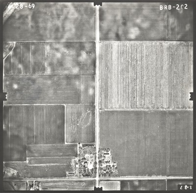
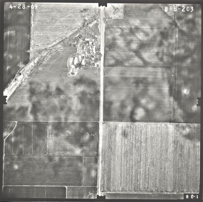
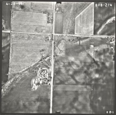
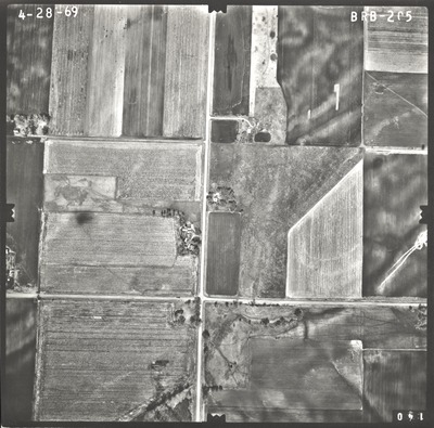
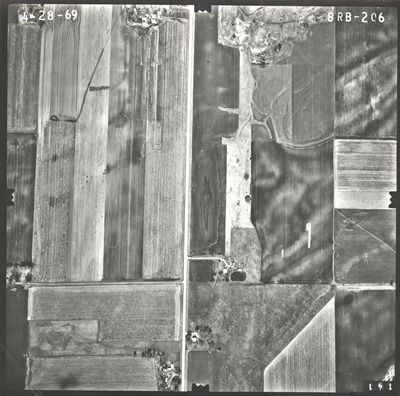
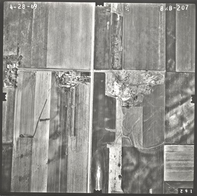
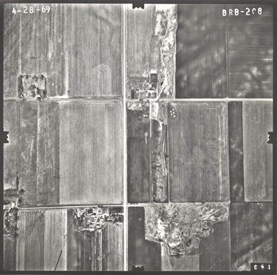
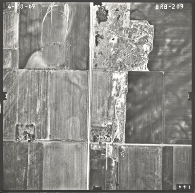
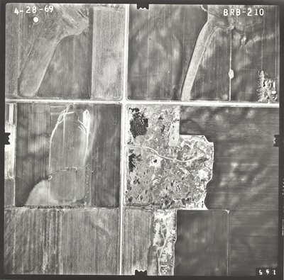
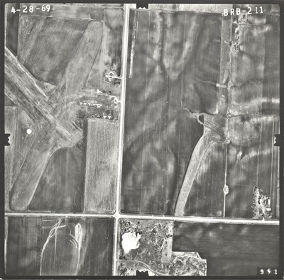
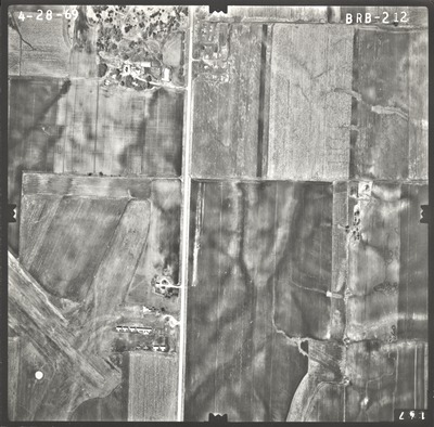
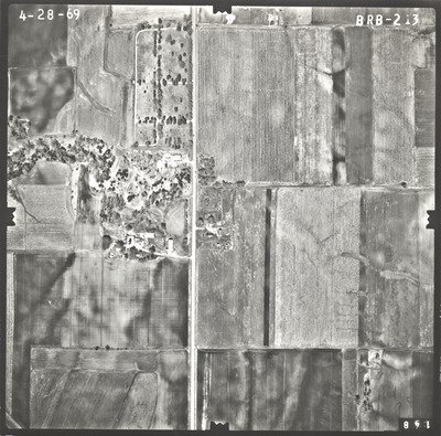
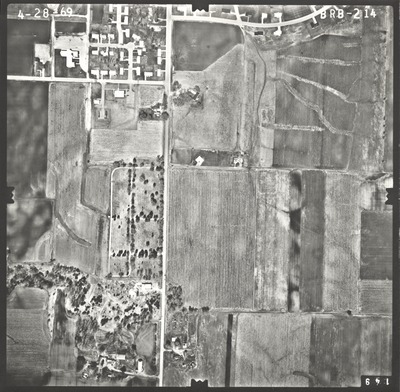
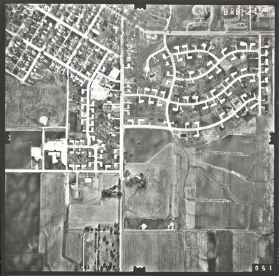
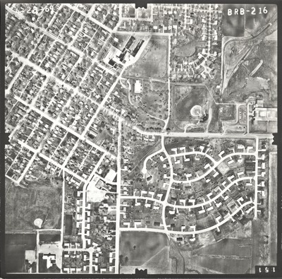
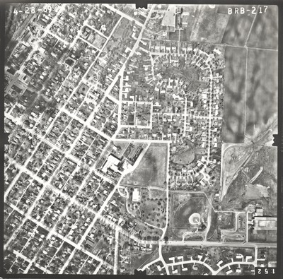
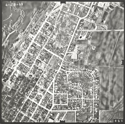
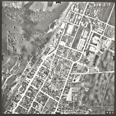
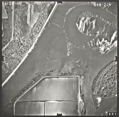
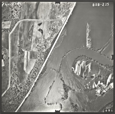
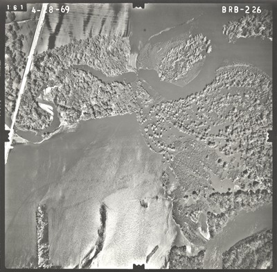
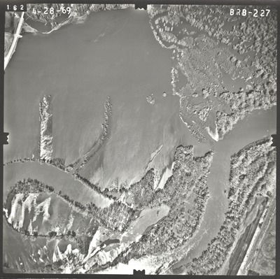
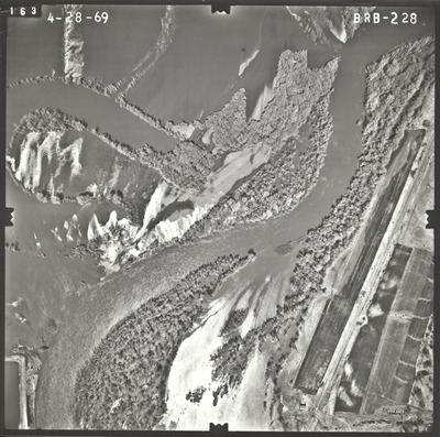
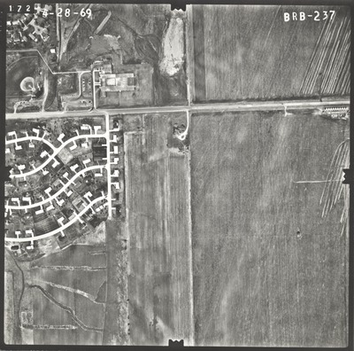
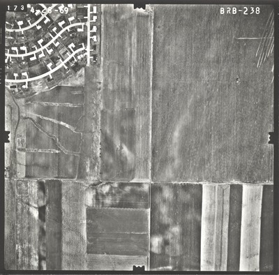
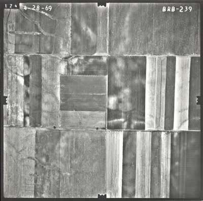
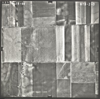
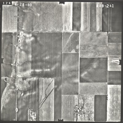
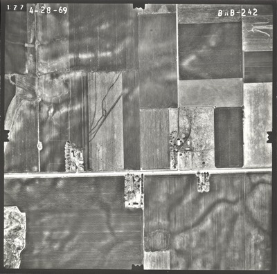
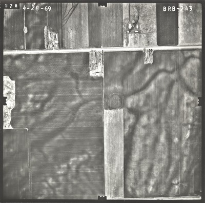
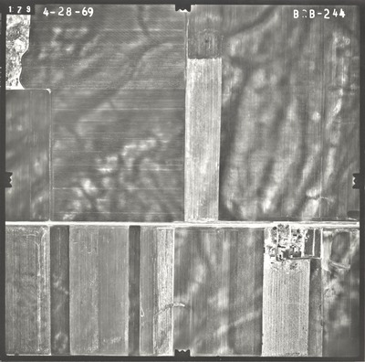
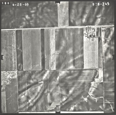
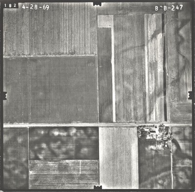
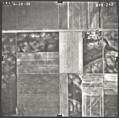
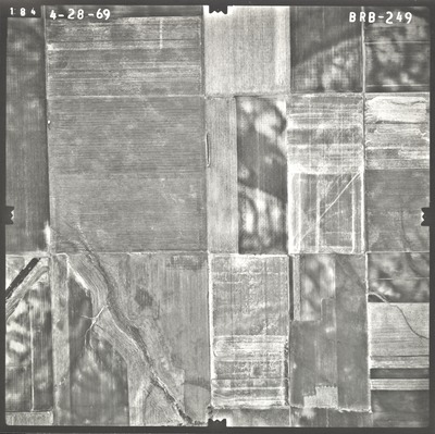
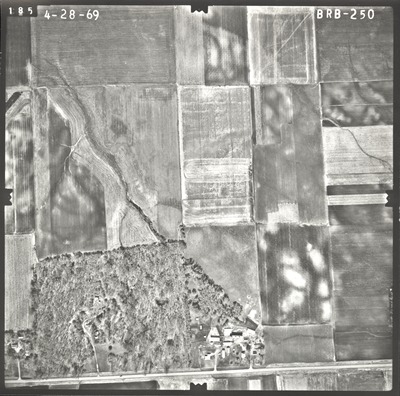
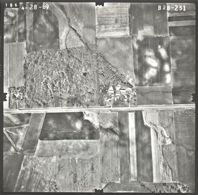
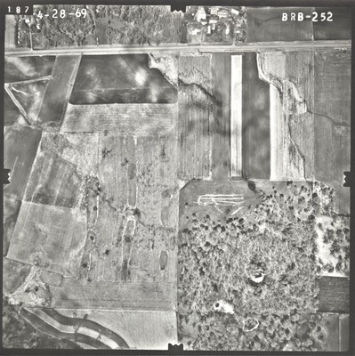
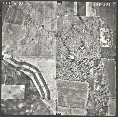
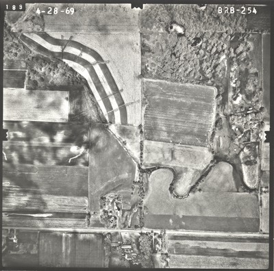
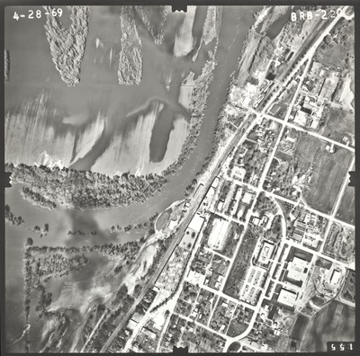
Aerial survey project no. 69S-23 was flown on April 28, 1969. These photos are a verbal scale of 1"=400'. The flight line follows a north-south direction and provides coverage for highway 112 from Le Sueur to Ottawa.


Aerial survey project no. 69S-23 was flown on April 28, 1969. These photos are a verbal scale of 1"=400'. The flight line follows a north-south direction and provides coverage for highway 112 from Le Sueur to Ottawa.


