• Home
  • Search
  • Browse Collections
  • My Account
  • About
  • DC Network Digital Commons Network™
Skip to main content
Cornerstone: A Collection of Scholarly and Creative Works for Minnesota State University, Mankato
  • Home
  • About
  • FAQ
  • My Account

Home > MAPS > MAPS-MNDOT7-AIR-PHOTOS > MNDOT7-1972-72S-34

1972 Aerial Survey Project No. 72S-34 (COG)

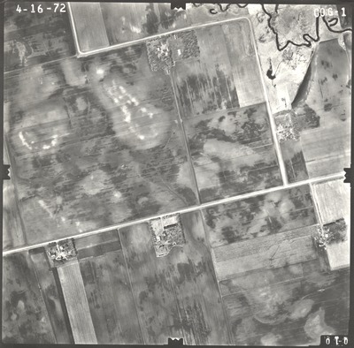
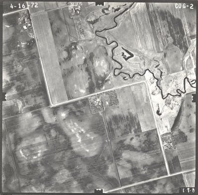
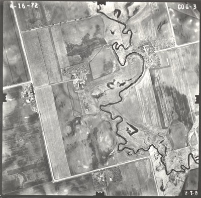
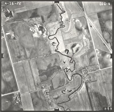
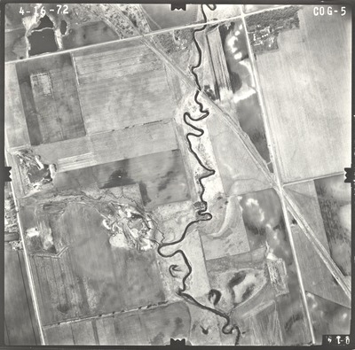
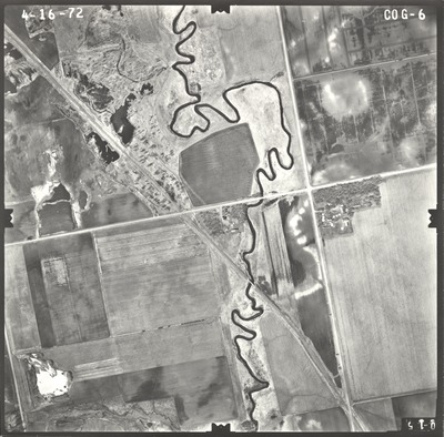
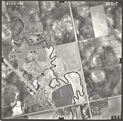
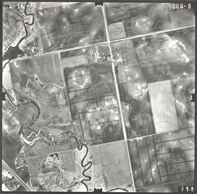
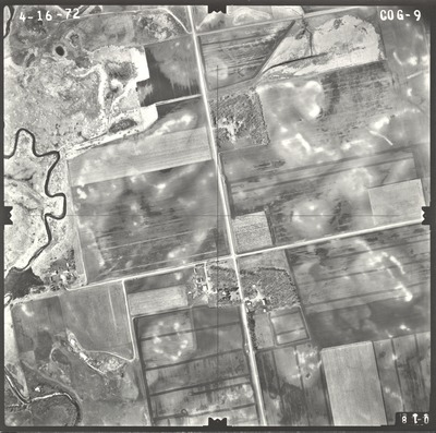
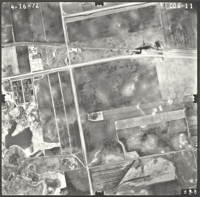
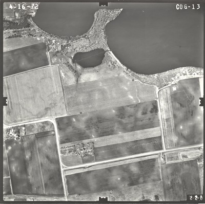
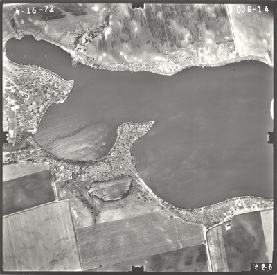
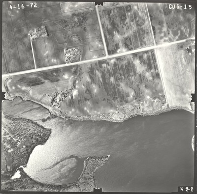
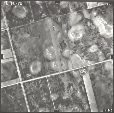
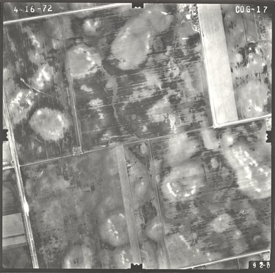
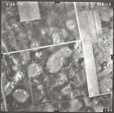
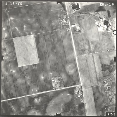
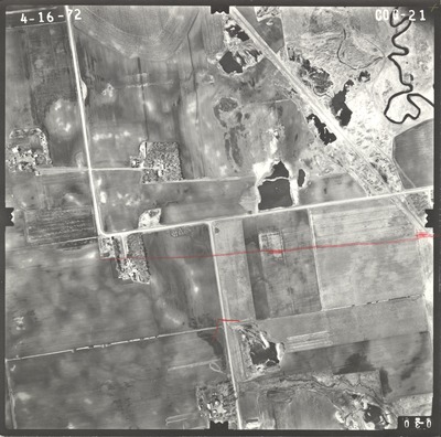
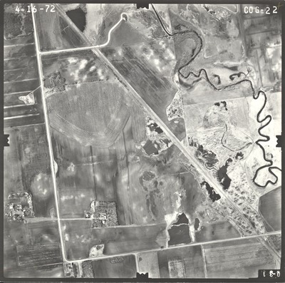
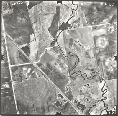
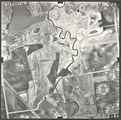
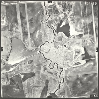
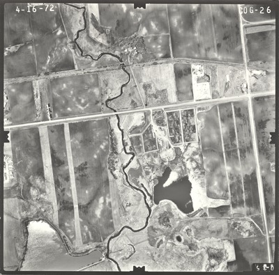
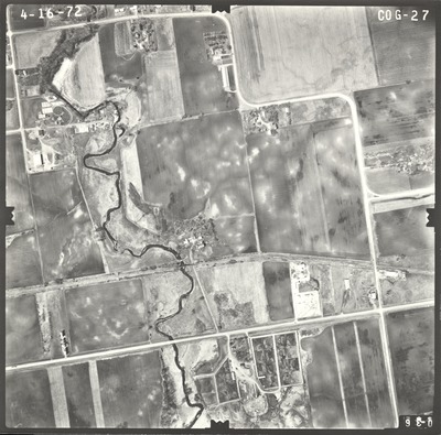
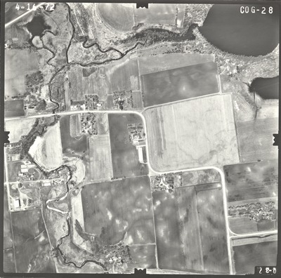
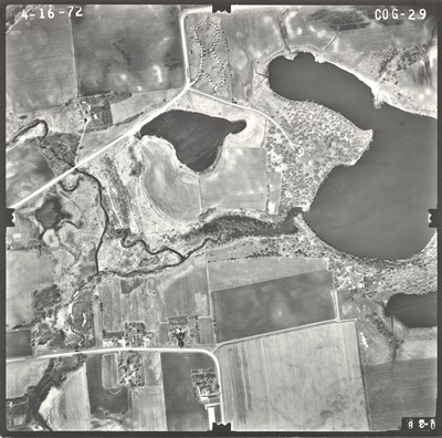
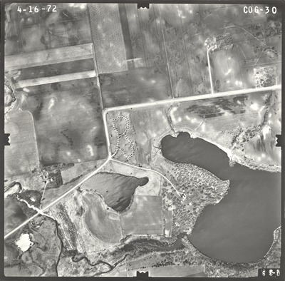
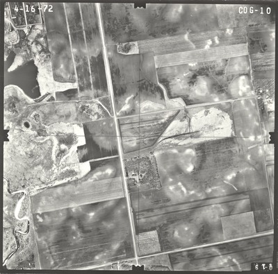
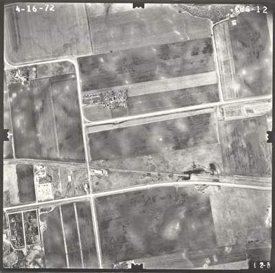
Aerial survey project no. 72S-34 was flown on April 16, 1972. These photos are a verbal scale of 1"=500'. The flight lines provide coverage for highway I-90 from 0.5 miles west to 3 miles east of the junction with highway 15.

Printing is not supported at the primary Gallery Thumbnail page. Please first navigate to a specific Image before printing.

Follow

Switch View to List View Slideshow
 
  • COG-21 by Mark Hurd Aerial Surveys, Inc. Minneapolis, Minnesota

    COG-21

  • COG-22 by Mark Hurd Aerial Surveys, Inc. Minneapolis, Minnesota

    COG-22

  • COG-23 by Mark Hurd Aerial Surveys, Inc. Minneapolis, Minnesota

    COG-23

  • COG-24 by Mark Hurd Aerial Surveys, Inc. Minneapolis, Minnesota

    COG-24

  • COG-25 by Mark Hurd Aerial Surveys, Inc. Minneapolis, Minnesota

    COG-25

  • COG-26 by Mark Hurd Aerial Surveys, Inc. Minneapolis, Minnesota

    COG-26

  • COG-27 by Mark Hurd Aerial Surveys, Inc. Minneapolis, Minnesota

    COG-27

  • COG-28 by Mark Hurd Aerial Surveys, Inc. Minneapolis, Minnesota

    COG-28

  • COG-29 by Mark Hurd Aerial Surveys, Inc. Minneapolis, Minnesota

    COG-29

  • COG-30 by Mark Hurd Aerial Surveys, Inc. Minneapolis, Minnesota

    COG-30

 
  • 1
  • 2


Search

Advanced Search

  • Notify me via email or RSS

Author Corner

  • All Authors
  • Author FAQ
  • Submit Research

University Resources

  • Digital Exhibits
  • ARCH: University Archives Digital Collections
  • Library Services
  • Minnesota State University, Mankato
  • Contact Us
Minnesota State University Mankato Minnesota State
 
Elsevier - Digital Commons

Home | About | FAQ | My Account | Accessibility Statement

Privacy Copyright