

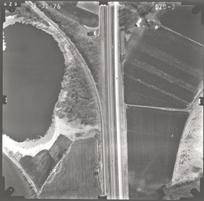
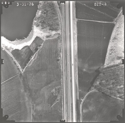
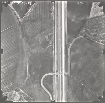
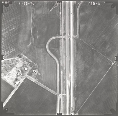
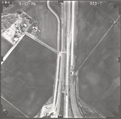
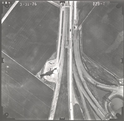
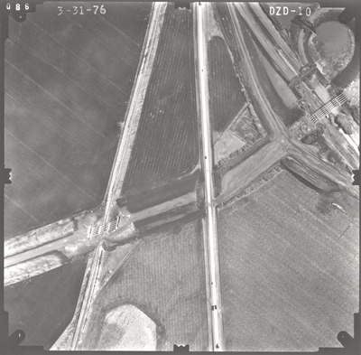
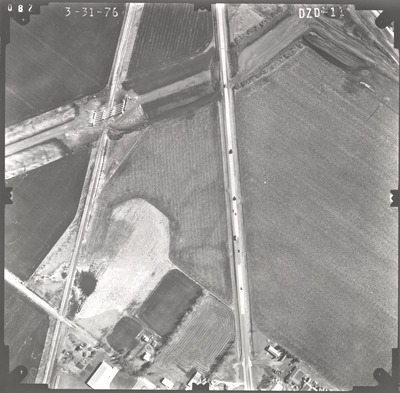
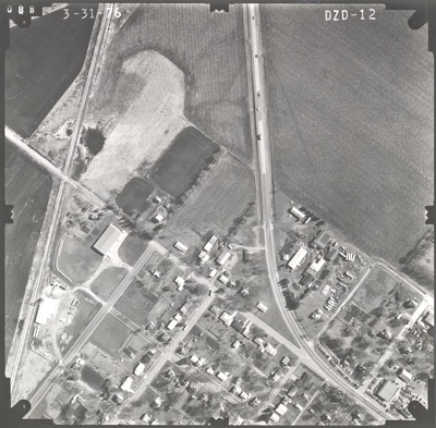
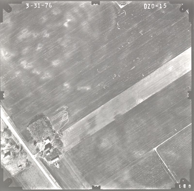
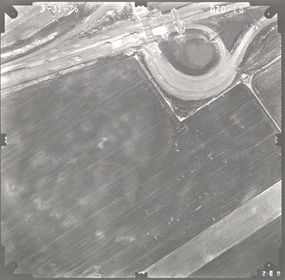
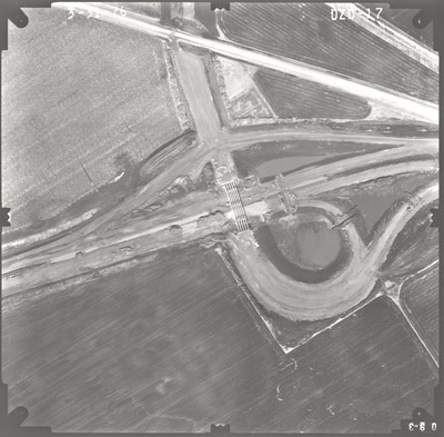
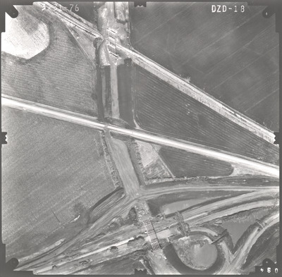
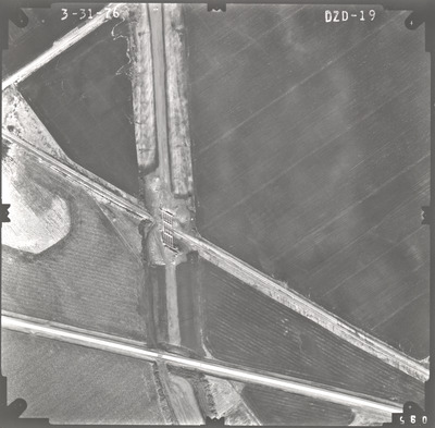
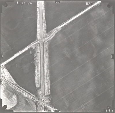
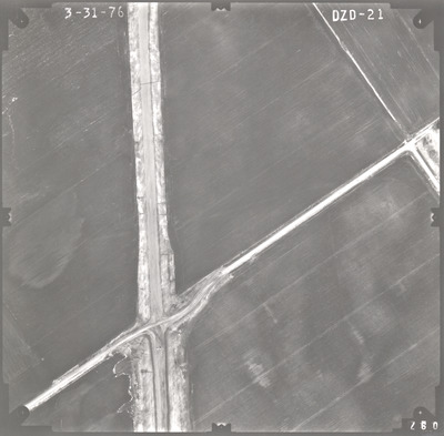
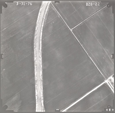
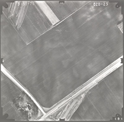
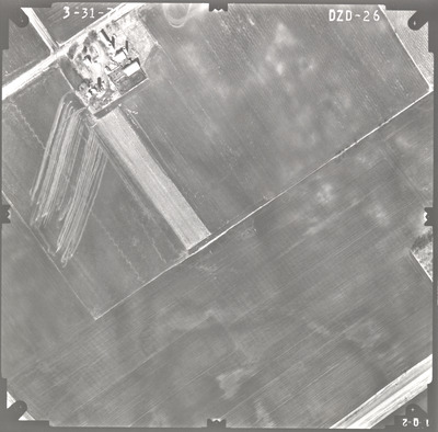
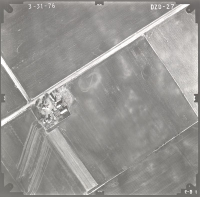
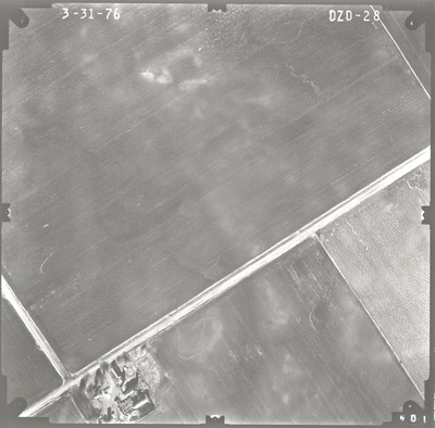
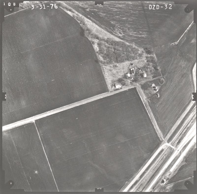
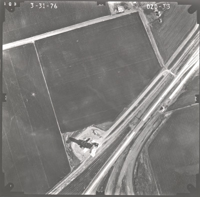
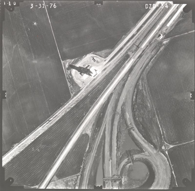
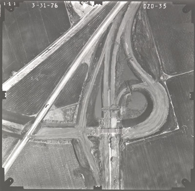
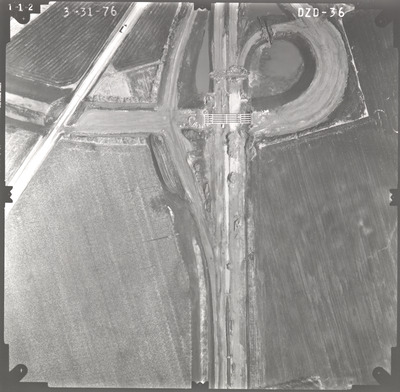
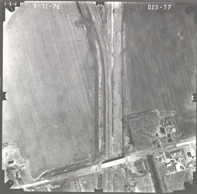
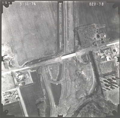
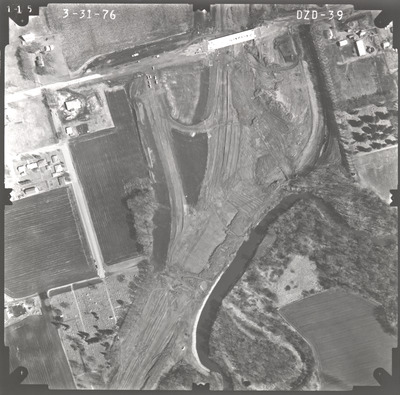
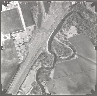
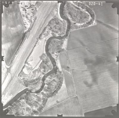
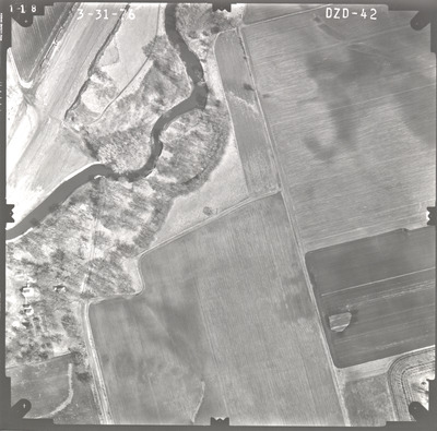
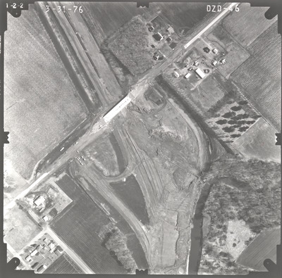
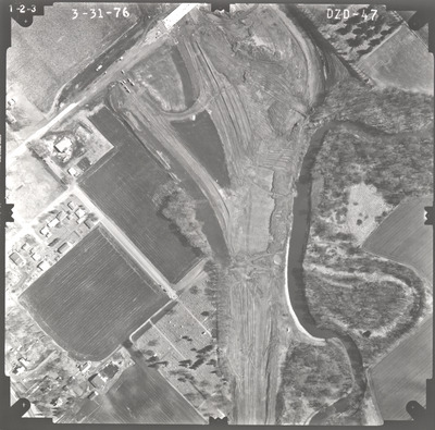
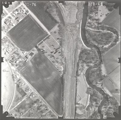
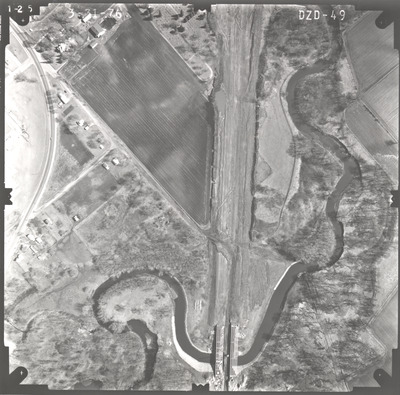
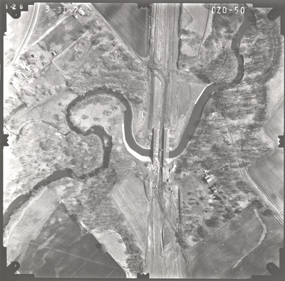
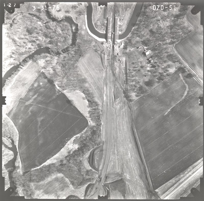
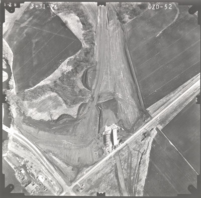
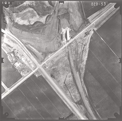
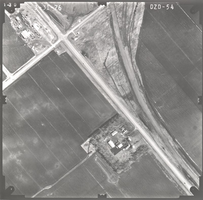
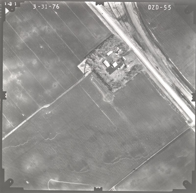
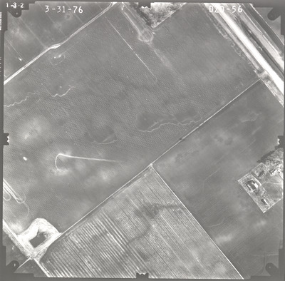
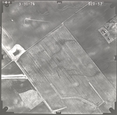
Aerial survey project no. 76S-12 was flown on March 31, 1976. These photos are a verbal scale of 1"=250'. The flight lines provide coverage for highways 15 and 60 and the Madelia bypass from 1 mile east of Madelia to 0.5 miles south of County Road 9.
Printing is not supported at the primary Gallery Thumbnail page. Please first navigate to a specific Image before printing.


