

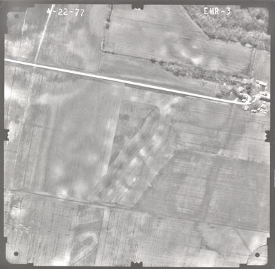
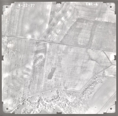
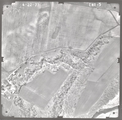
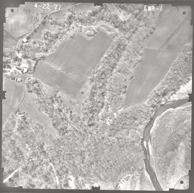
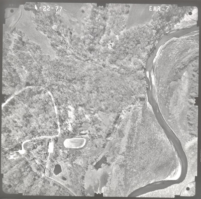
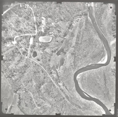
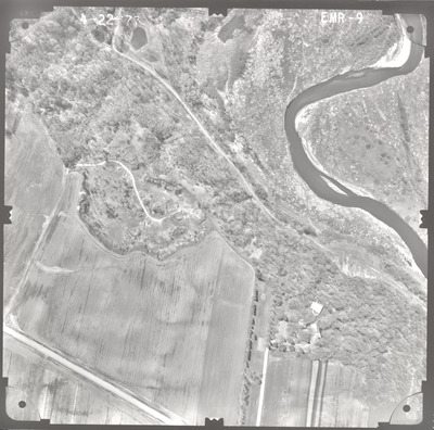
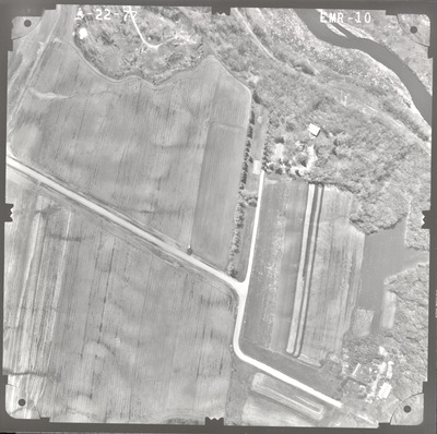
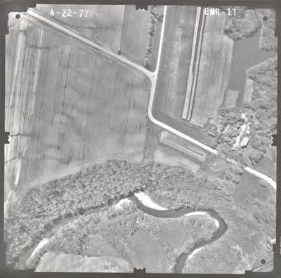
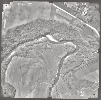
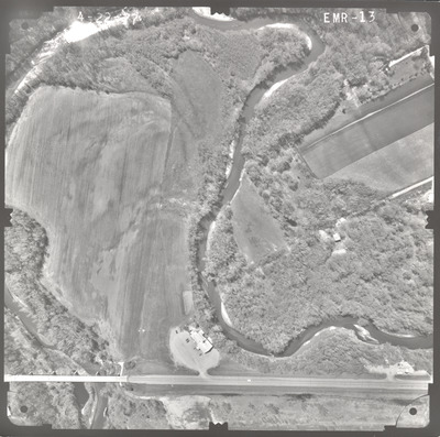
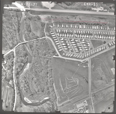
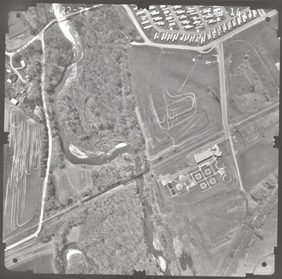
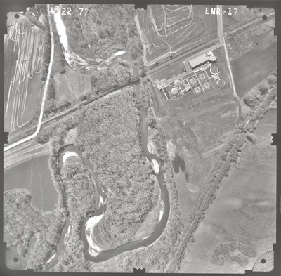
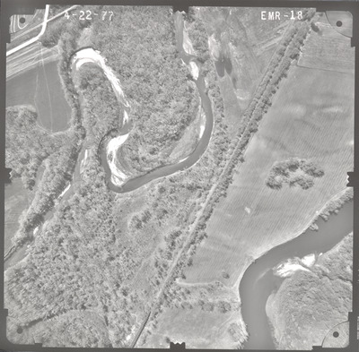
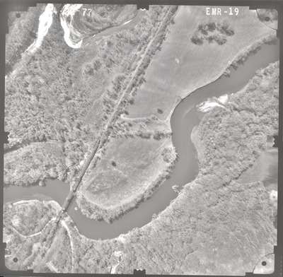
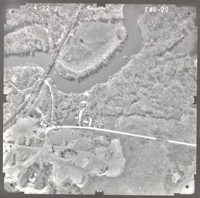
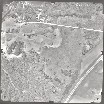
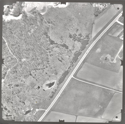
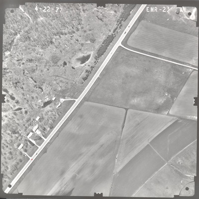
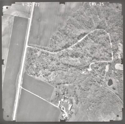
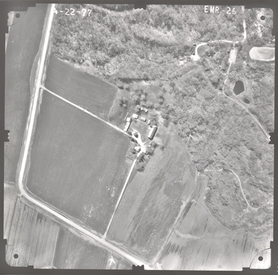
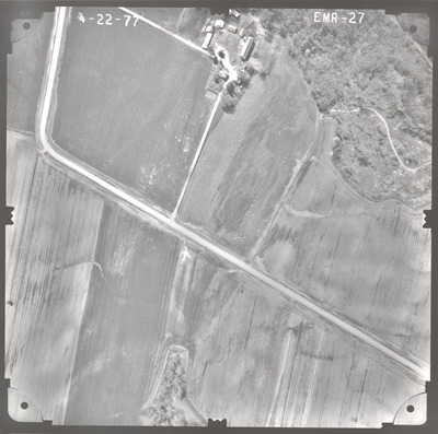
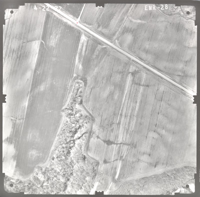
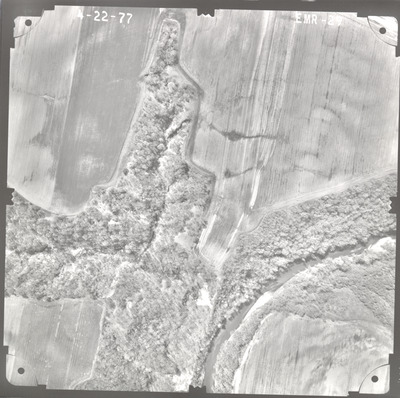
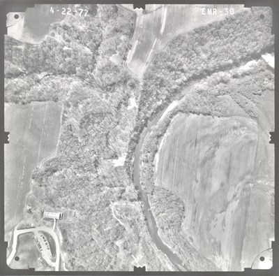
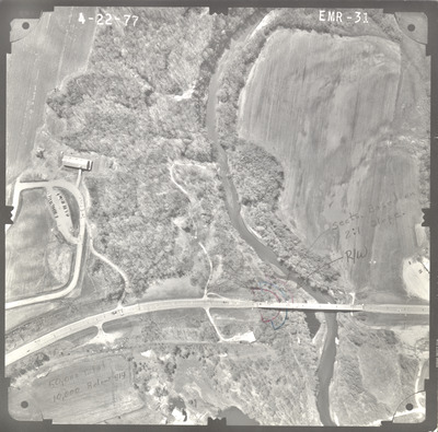
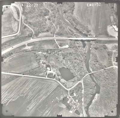
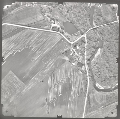
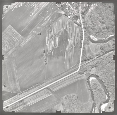
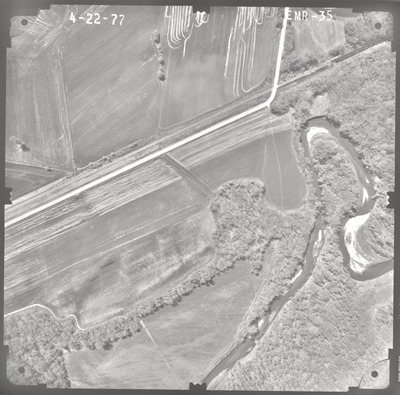
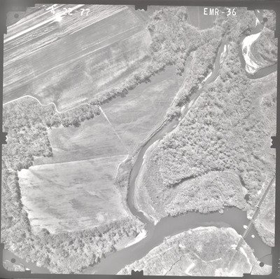
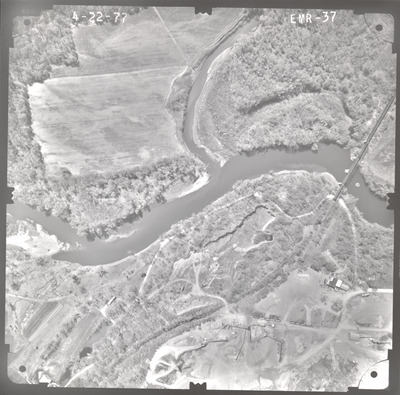
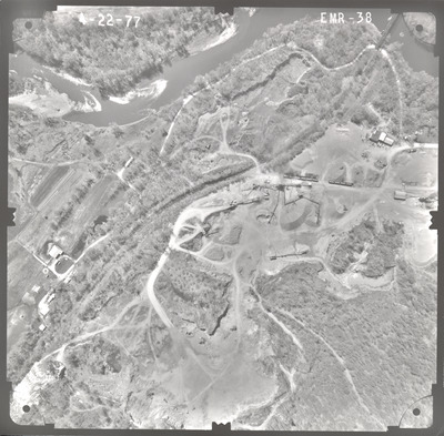
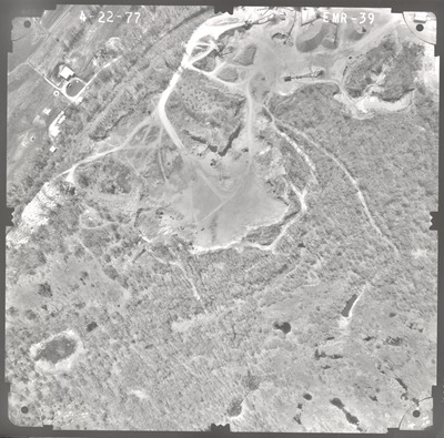
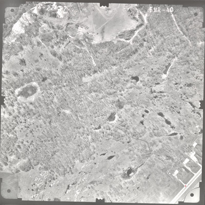
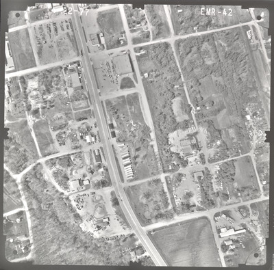
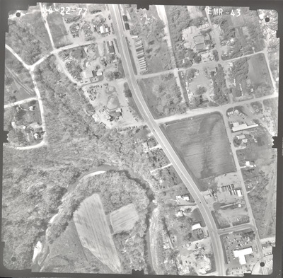
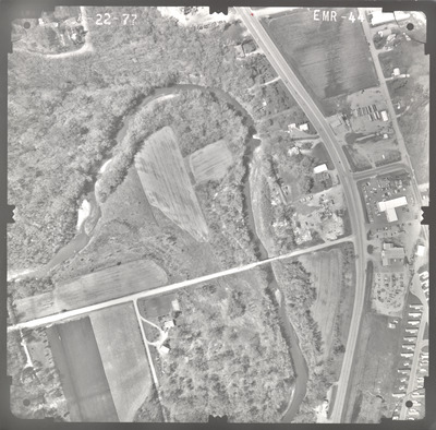
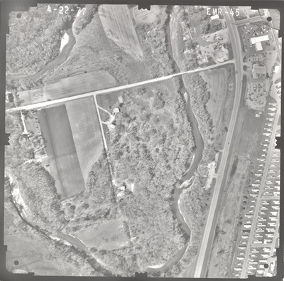
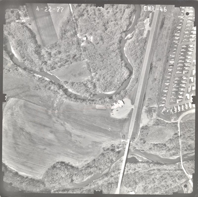
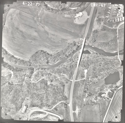
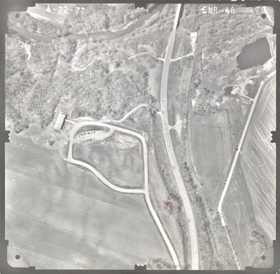
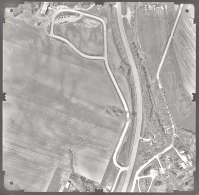
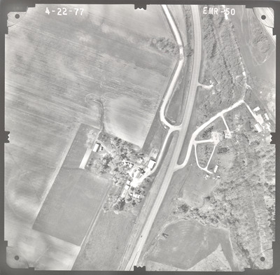
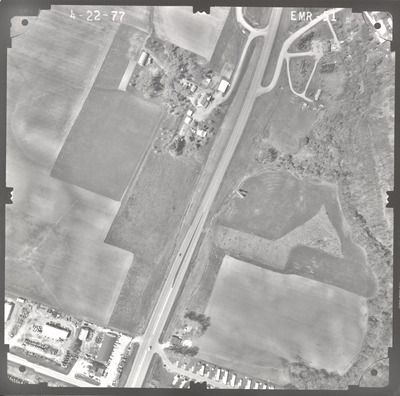
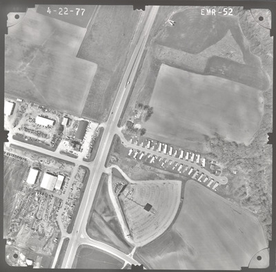
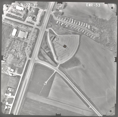
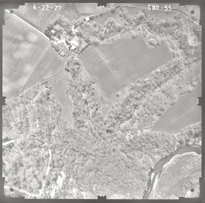
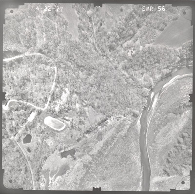
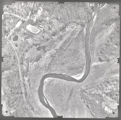
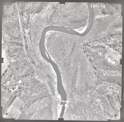
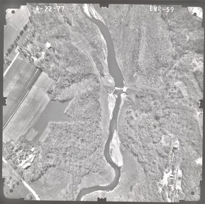
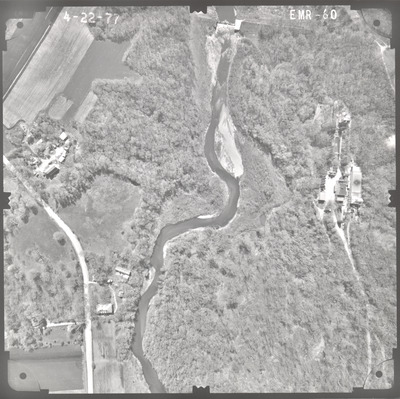
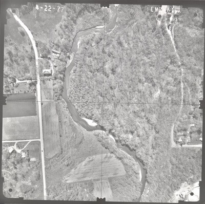
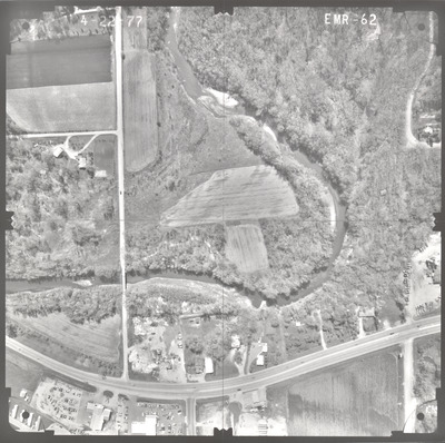
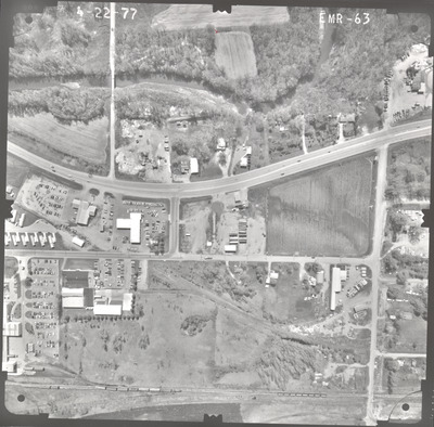
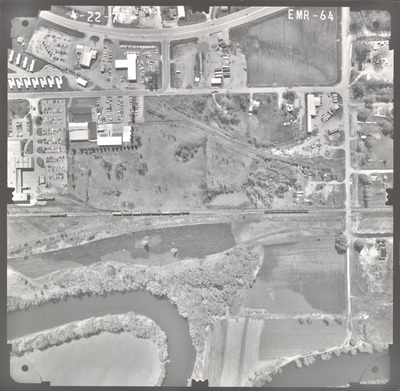
Aerial survey project no. 77S-27 was flown on April 22, 1977. These photos are a verbal scale of 1"=250'. The flight lines provide coverage for highway 15 and bridge 4750 over the Cottonwood River 2.5 miles south of New Ulm. ASP No. 77S-27 includes index sheet 1. The index indicates the focal length is 152.46mm but the air photos read 152.47mm.
Printing is not supported at the primary Gallery Thumbnail page. Please first navigate to a specific Image before printing.


