

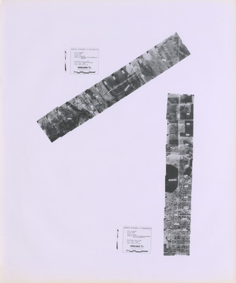
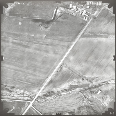
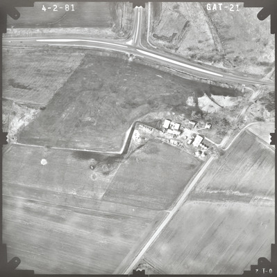
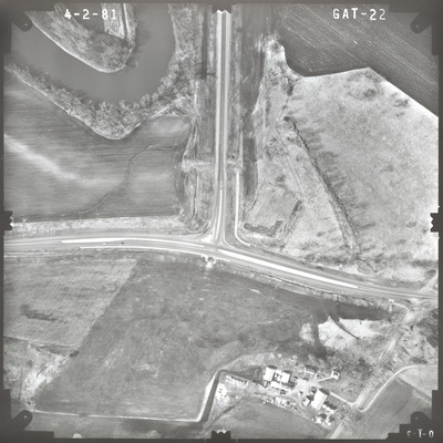
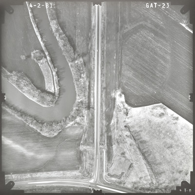
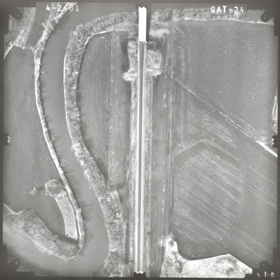
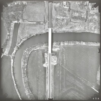
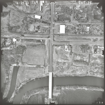
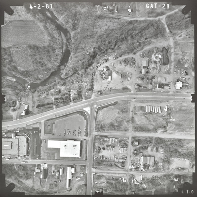
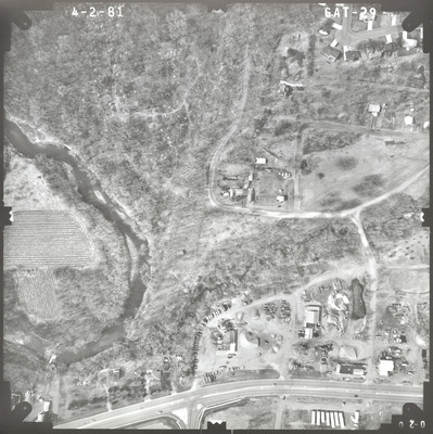
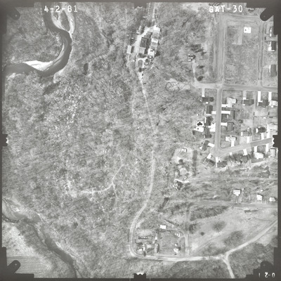
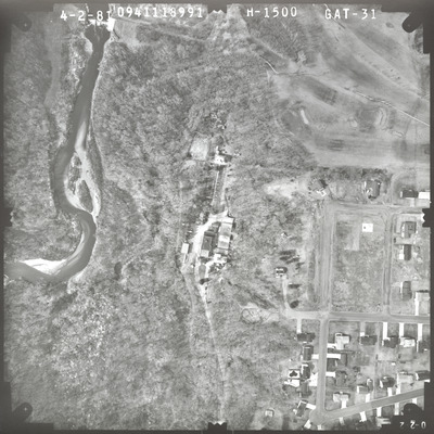
Aerial survey project no. 81S-30 was flown on April 2, 1981. These photos are a verbal scale of 1"=250'. The flight line provides coverage for highway 14 and the proposed river crossing at New Ulm. ASP No. 81S-30 includes index sheet 1. The index indicates the focal length is 152.963mm and 153.115mm but the air photos read only 152.963mm. The index also includes ASP No. 81S-29.


