

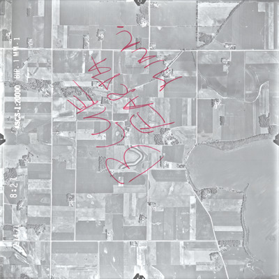
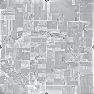
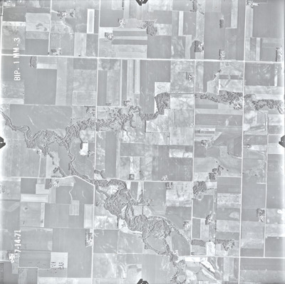
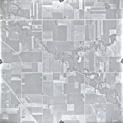
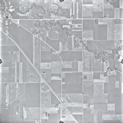
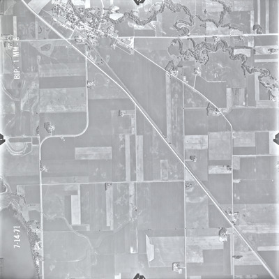
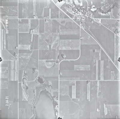
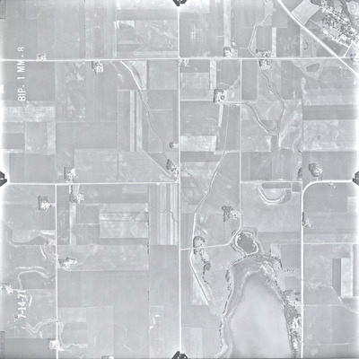
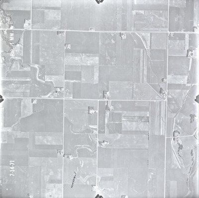
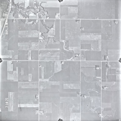
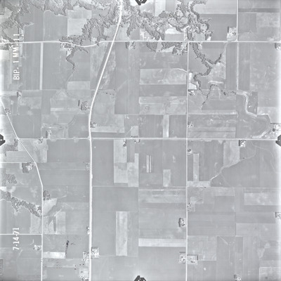
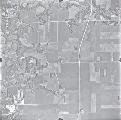
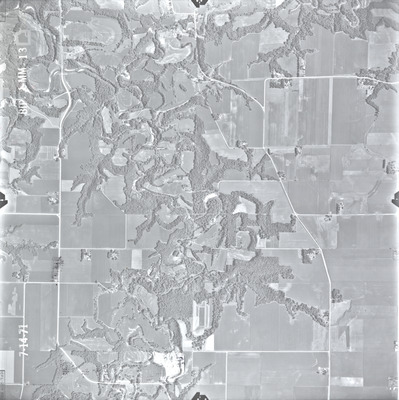
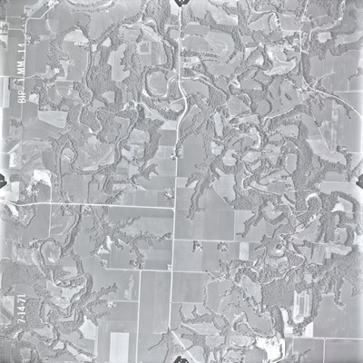
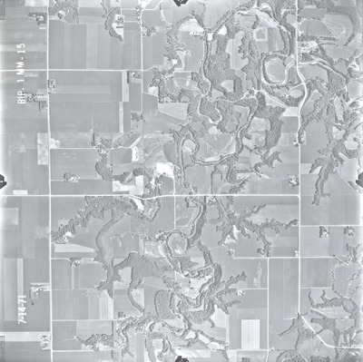
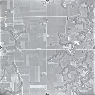
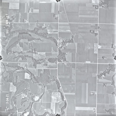
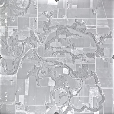
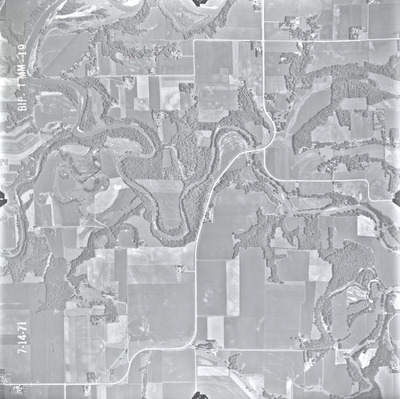
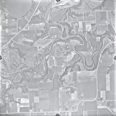
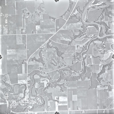
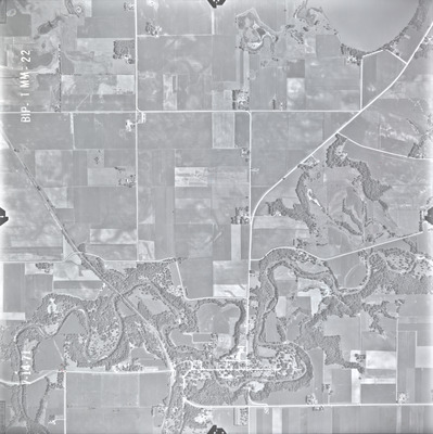
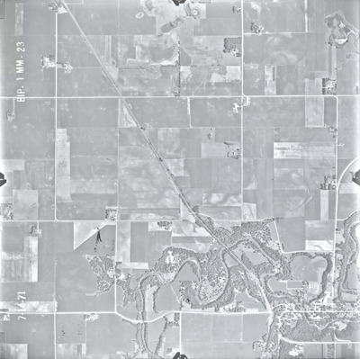
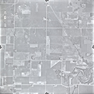
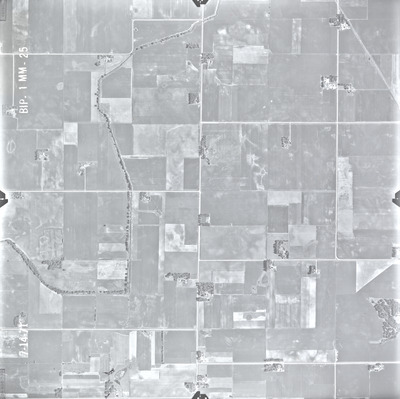
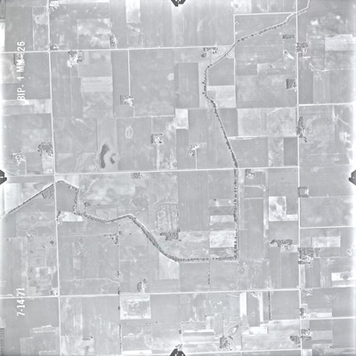
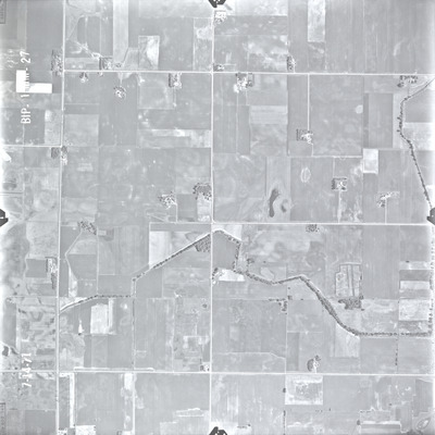
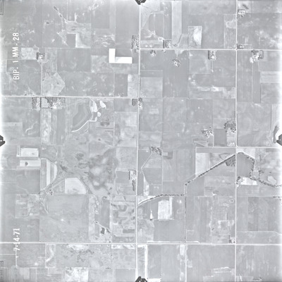
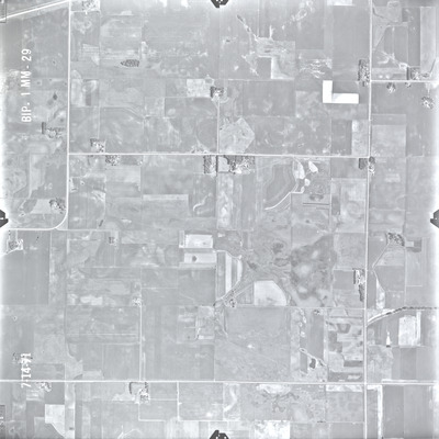
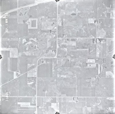
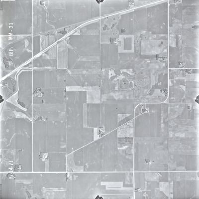
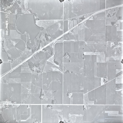
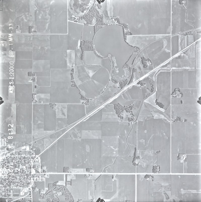
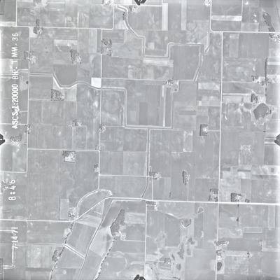
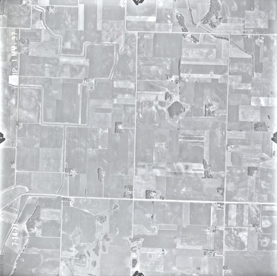
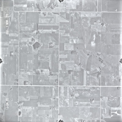
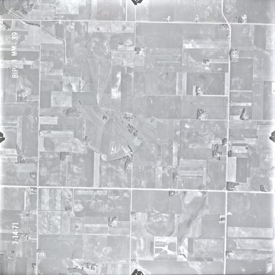
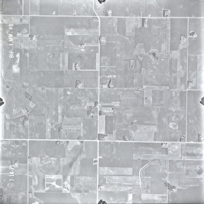
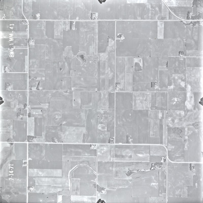
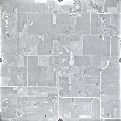
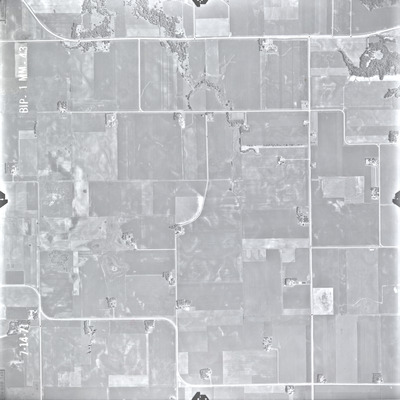
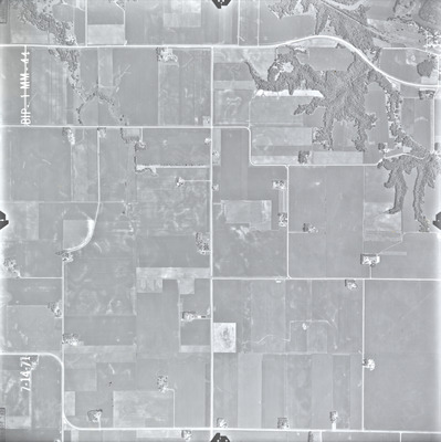
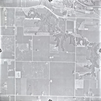
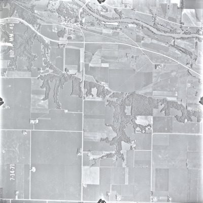
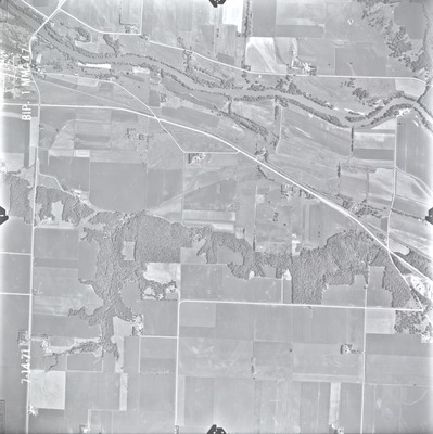
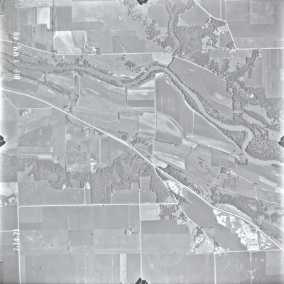
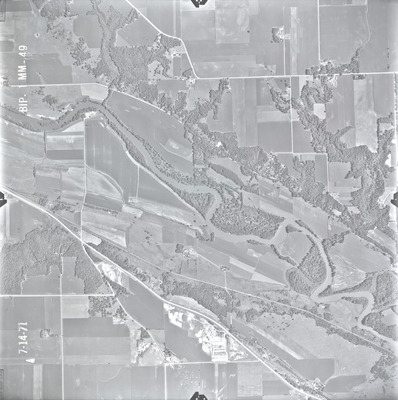
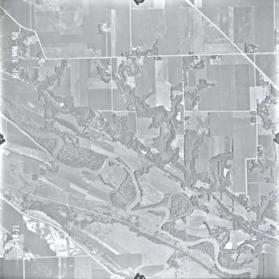
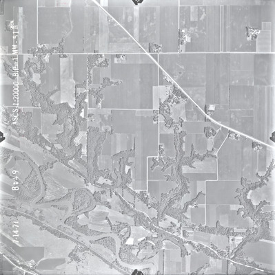
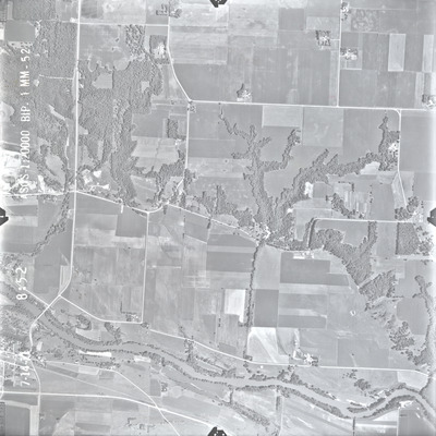
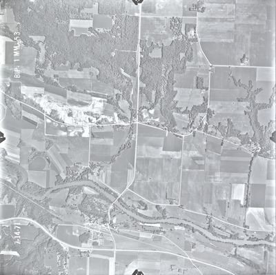
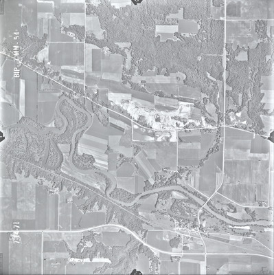
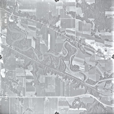
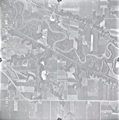
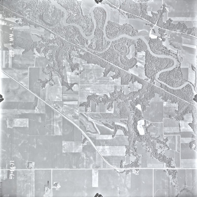
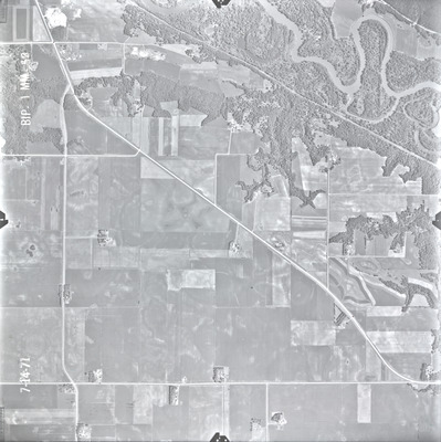
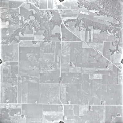
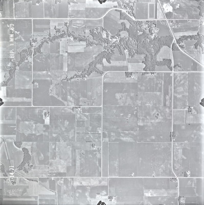
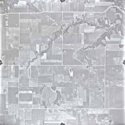
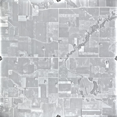
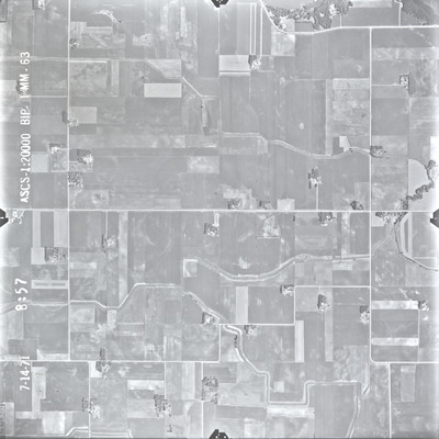
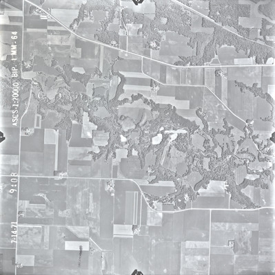
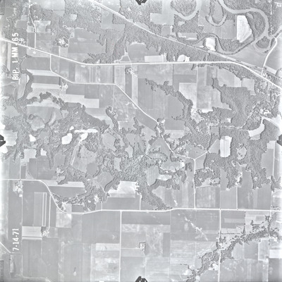
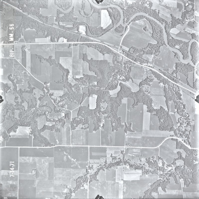
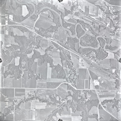
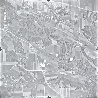
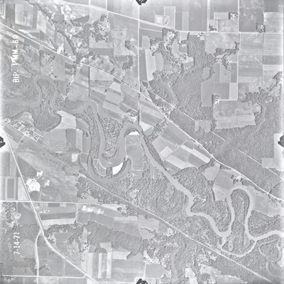
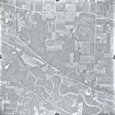
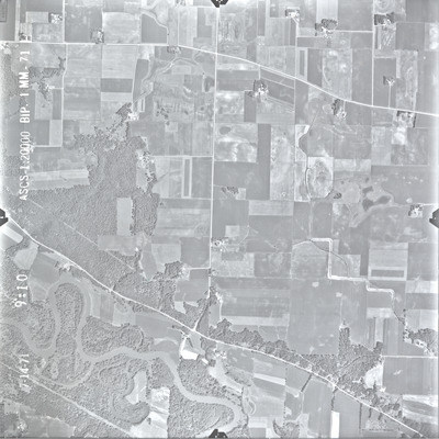
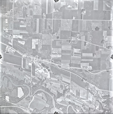
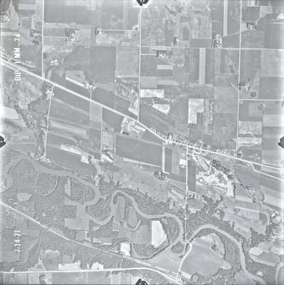
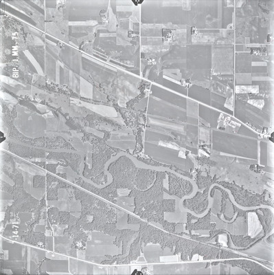
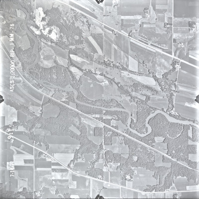
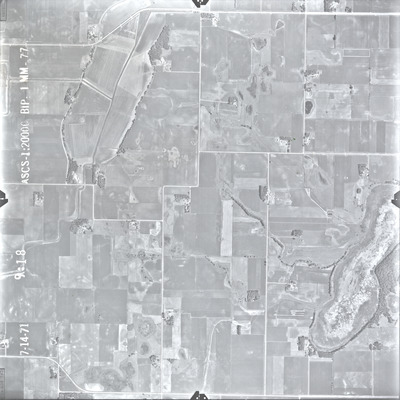
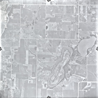
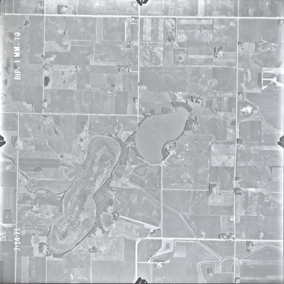
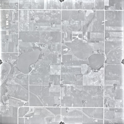
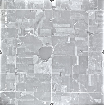
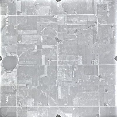
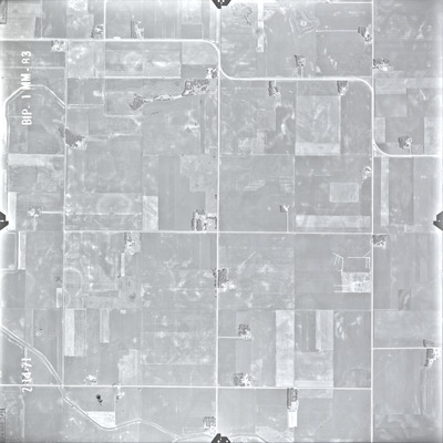
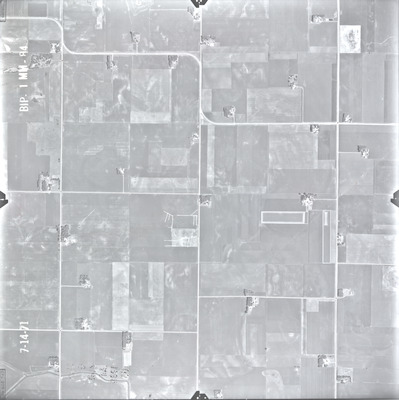
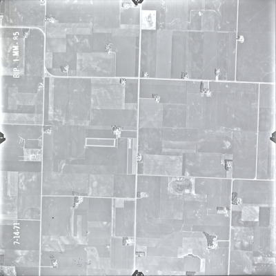
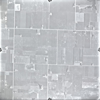
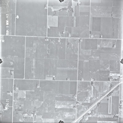
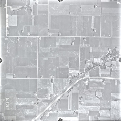
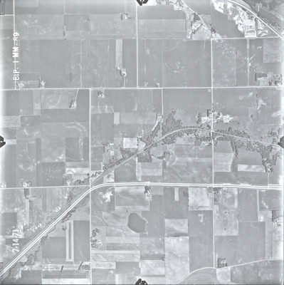
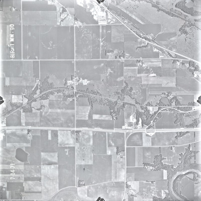
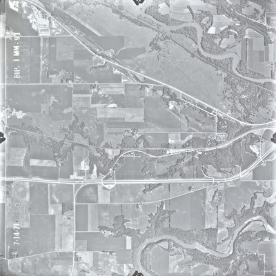
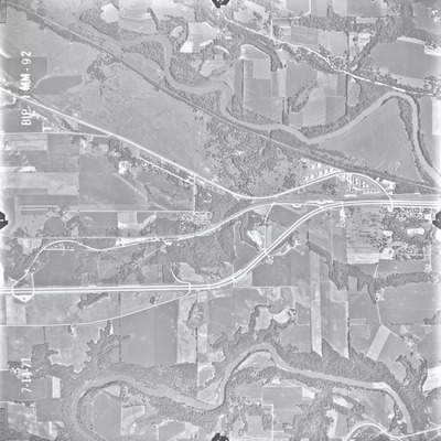
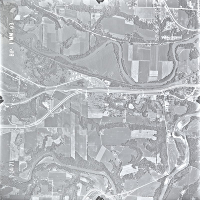
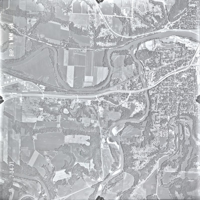
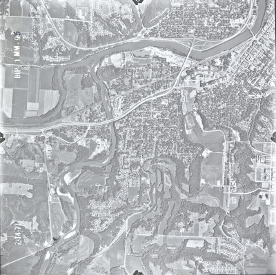
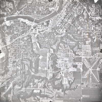
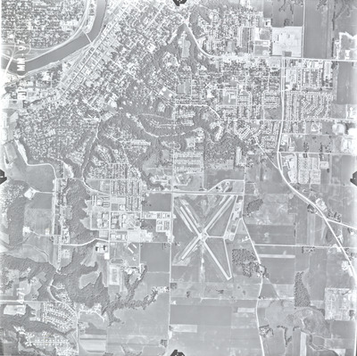
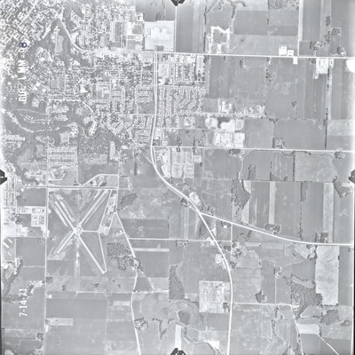
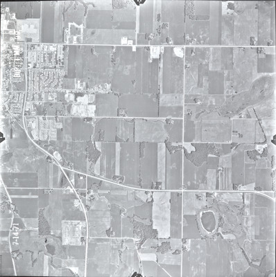
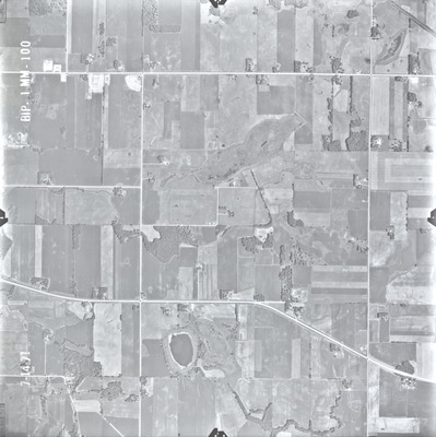
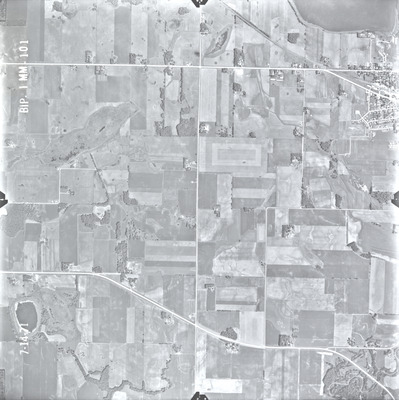
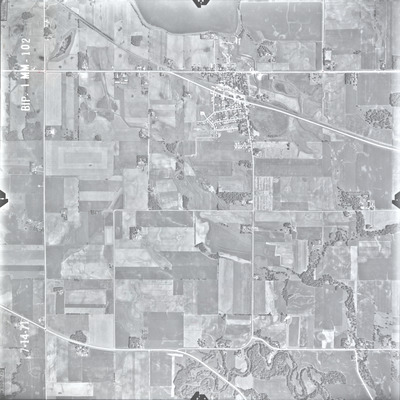
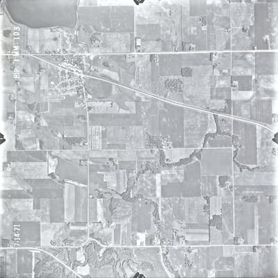
The Blue Earth County (BIP) air photos were flown on July 14, 1971. These photos are a scale of 1:20000. The flight lines follow an east-west direction.
To explore geolocated air photos, use this web application Dr. Mary T. Dooley Digitized Air Photo Collections .
Printing is not supported at the primary Gallery Thumbnail page. Please first navigate to a specific Image before printing.


